
Opening hours:Open today
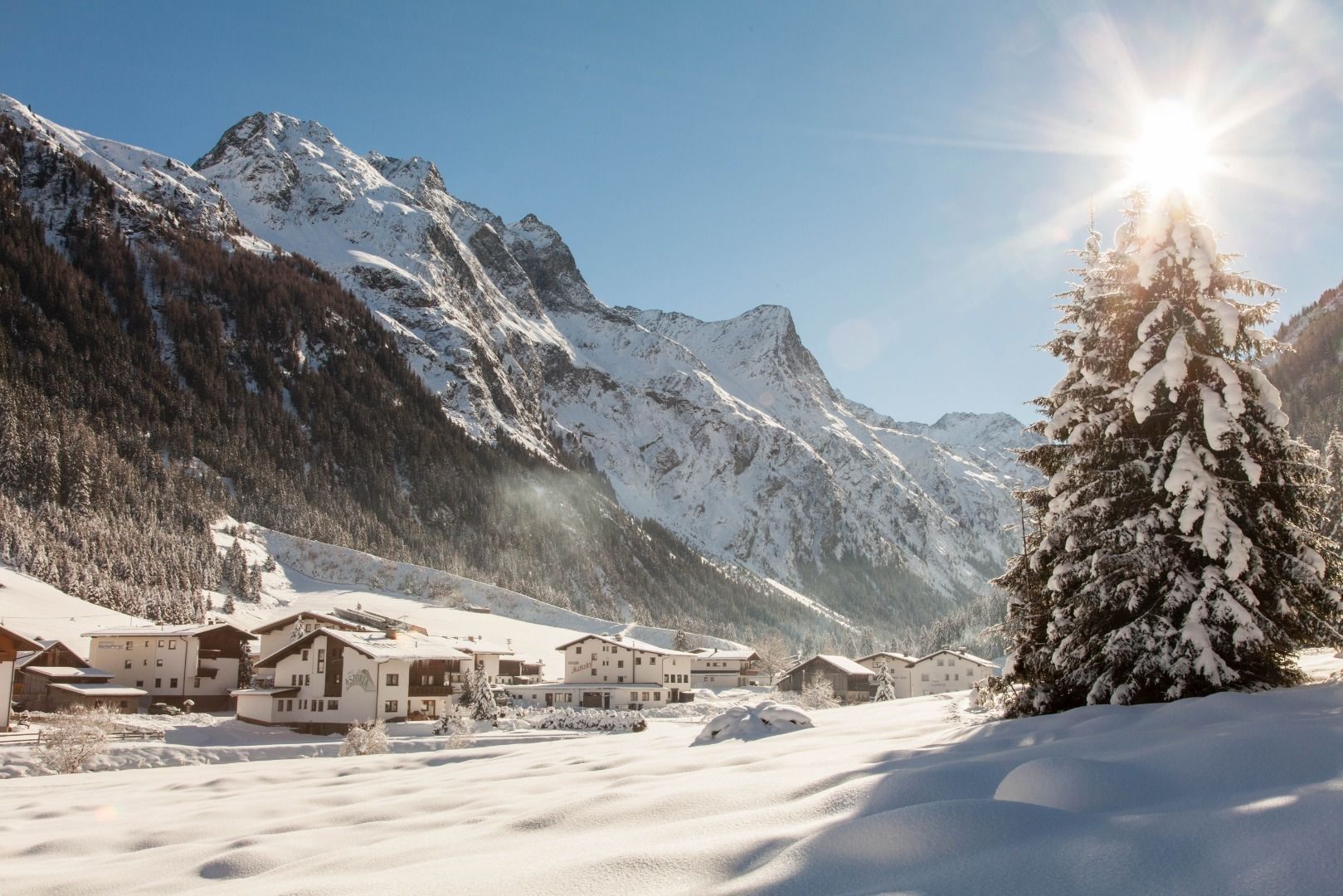
Place:St. Leonhard im Pitztal
:Restaurant, café
The hike along the valley's cross-country sking trail
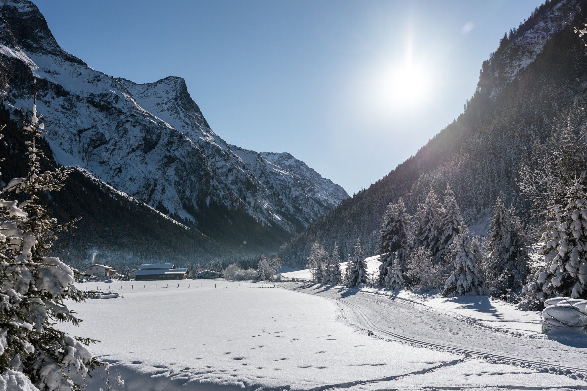
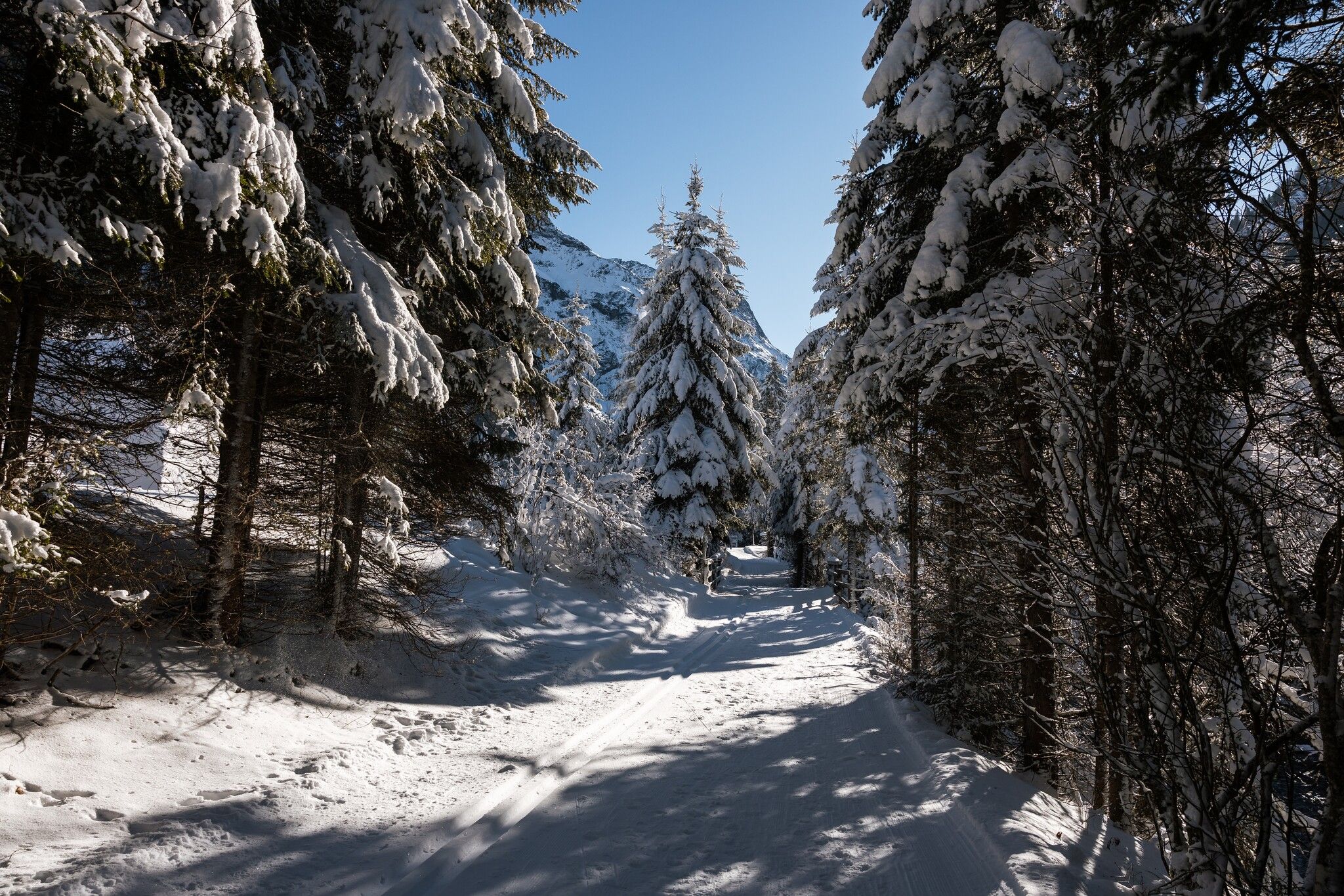
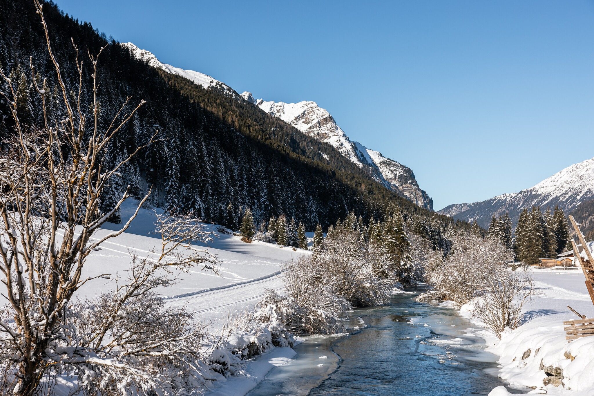
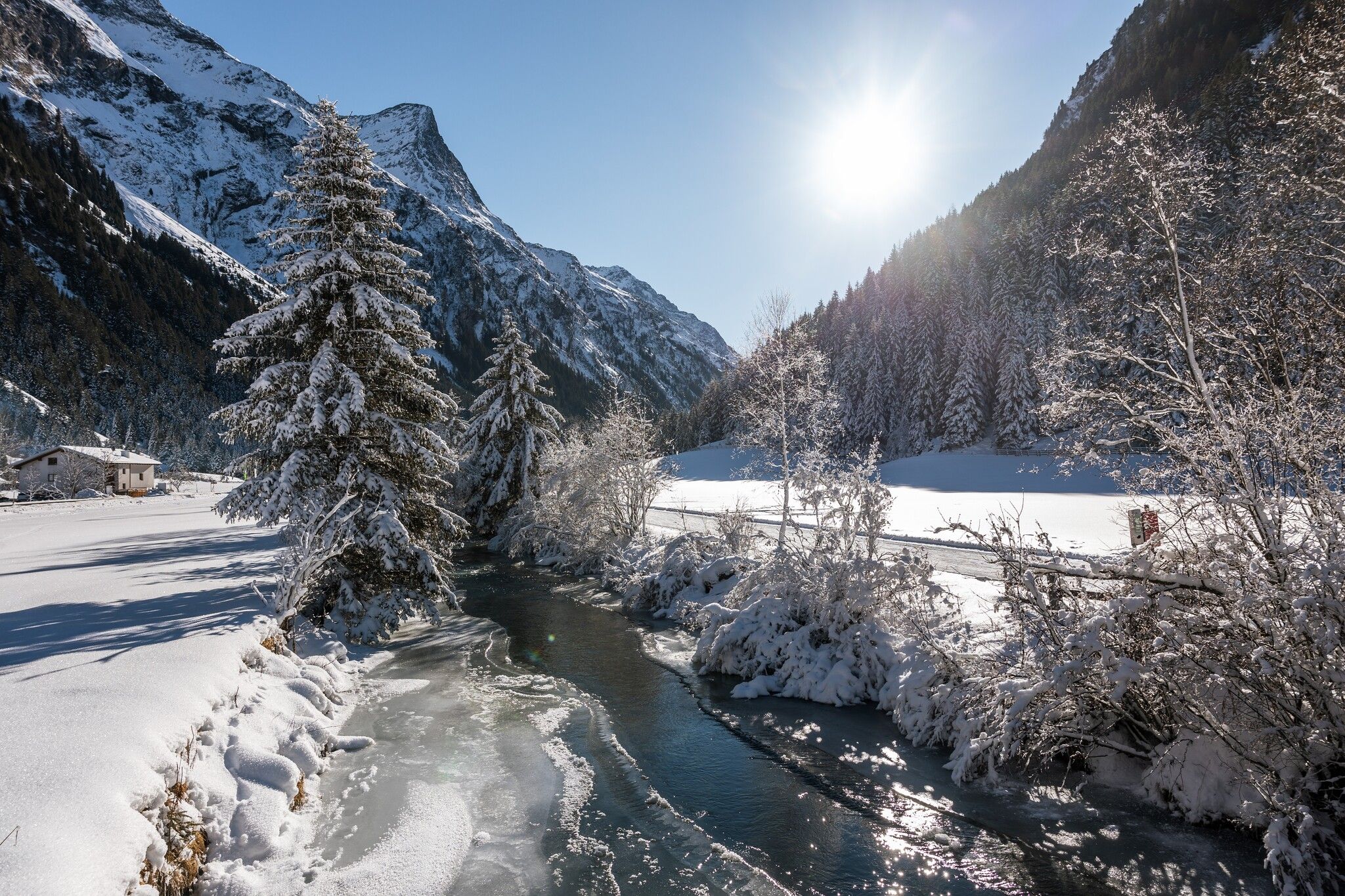
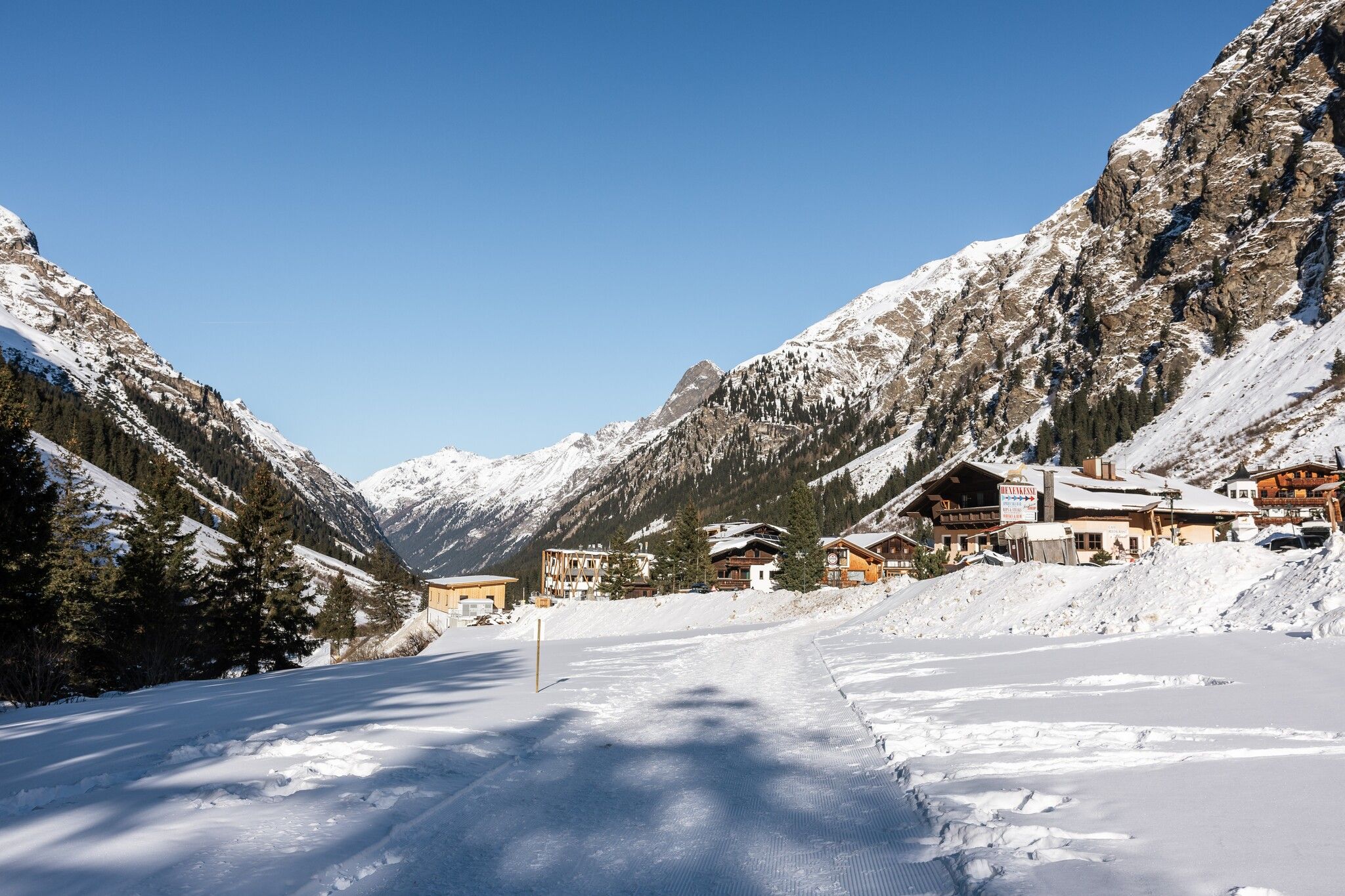

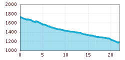
From Mittelberg to Wiese is 21 km long. You can enter and exit the winter hiking trail at each hamlet.
Take the bus to the Mittelberg (St. Leonhard im Pitztal) turning point stop.
Zaunhof car park Wiese II
St. Leonhard car park Eggenstall
St. Leonhard car park Stillebach
St. Leonhard car park Stillebach football pitch
St. Leonhard car park Municipality of St. Leonhard
Zaunhof car park Hairlach/Boden
St. Leonhard/Mandarfen car park Rifflseebahn
St. Leonhard/Mittelberg car park Gletscherbahn


.jpg")


.jpg")


 TVB Kitzbüheler Alpen-Brixental (7).jpg")


 Mirja Geh (26).jpg")


