Winter hike Wasserweg

closed
Innervillgraten / Villgratner Berge
Difficulty ratings: easy
Route length: 4.6 km
Duration: 1:50 h

Walk in Innervillgraten

Tour information

  • Requirement: easy
  • Length: 4.6 km
  • Duration: 1:50 h
  • Elevation uphill:113 hm
  • Elevation downhill:63 hm
Highest point1,409 m

Starting point

Jägererhof

Finishing point

Maxer
  • Fitness level 2 / 6
  • Technique 2 / 6

Best time of year

  • January
  • February
  • March
  • April
  • May
  • June
  • July
  • August
  • September
  • October
  • November
  • December
Source: Hochpustertal

Description

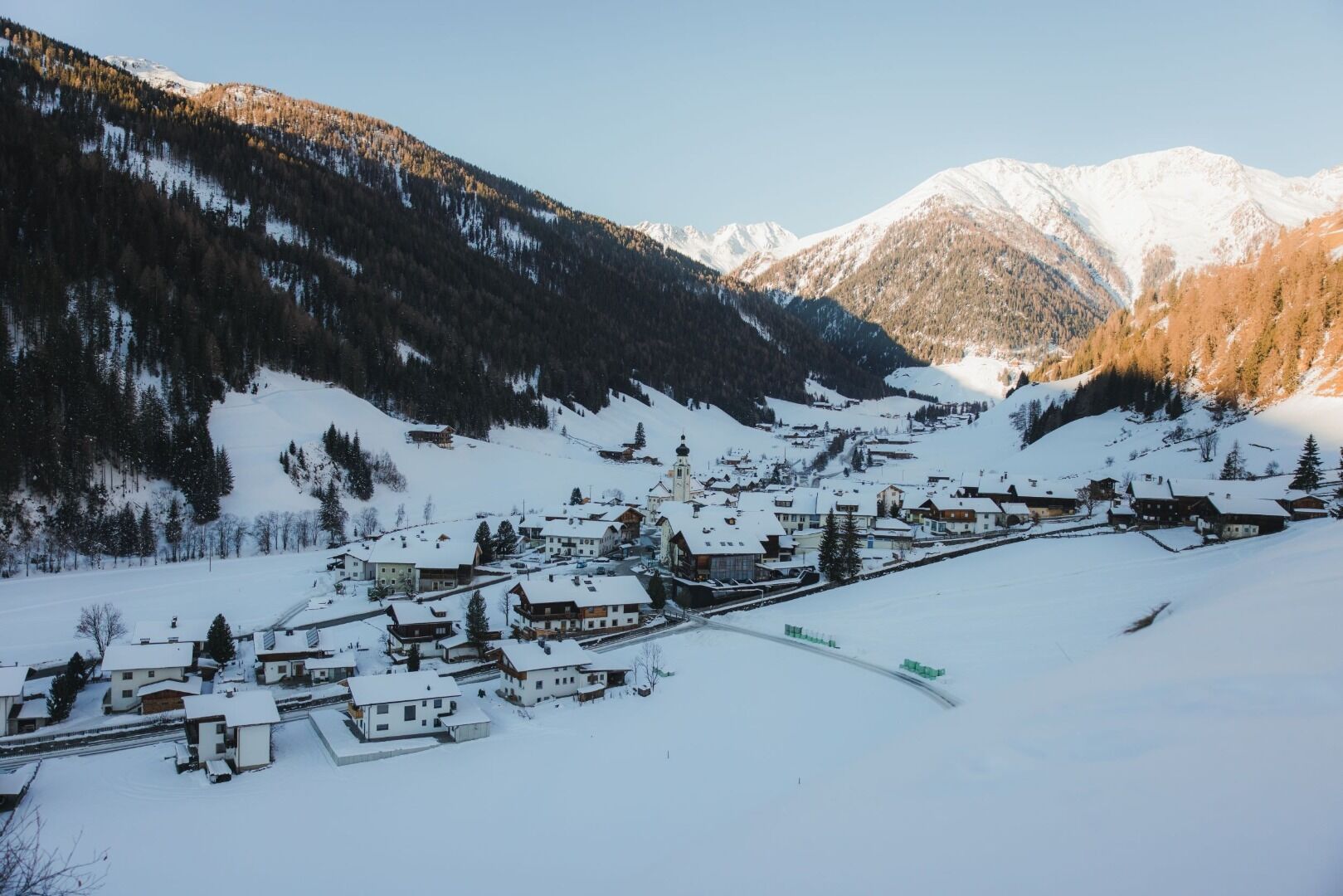
Starting a kilometre after the village limits of Innervillgraten at the ‘Pranausiedlung’, head into the valley on the left side of Villgrater Bach for around 3 km until you get to Jennewein bridge, just before the point the road branches off to Maxer, where the paths (rural and district roads) proceed to the Unterstalleralm and Kalkstein.

Getting here

  • Arrival by public transport

    Mit dem Bus bis zur Haltestelle Jägerer

  • Parking

    Parkplatz im Dorfzentum

More tours in the surrounding area

Newsletter

The mountain is calling? So does our newsletter!

In our monthly newsletter we reveal the best holiday tips for Tyrol.