 Gasthof Baumgarten")
Opening hours:Open today
Place:Angerberg
:Restaurant, Tavern
Experience a relaxed circular hike on the Angerberg.
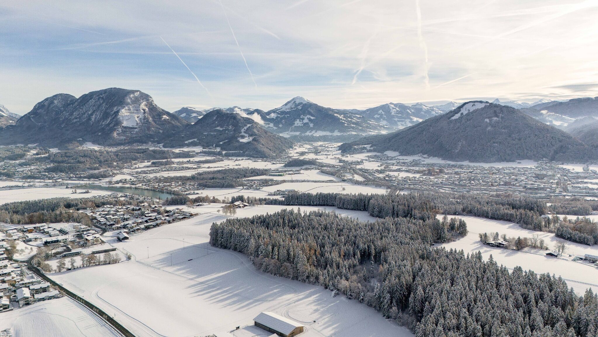
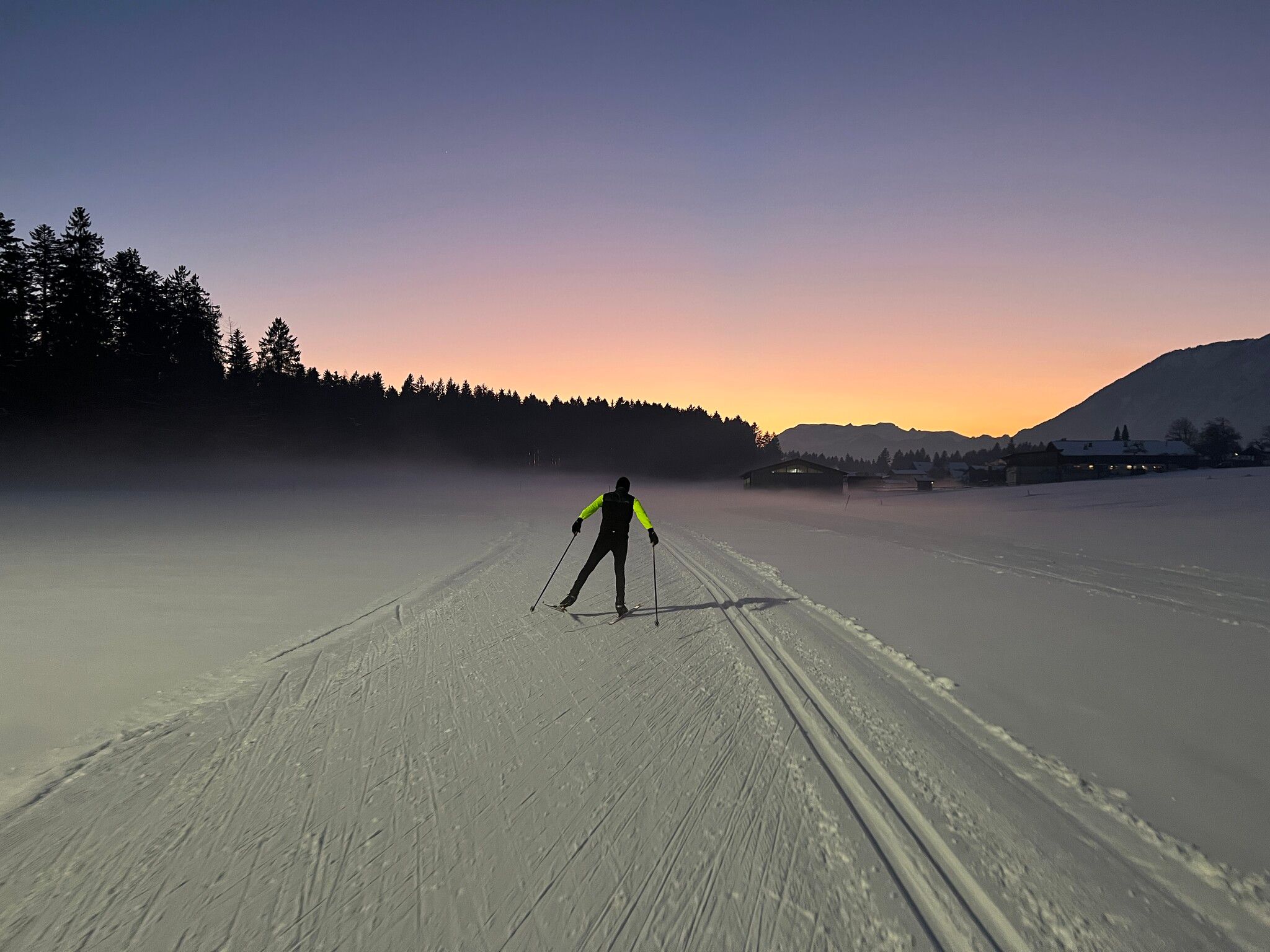
The starting point of this hike is the sports and cross-country skiing centre in Angerberg. From there, follow the signs no. 5 in the direction of Linden. At the house at the edge of the forest, walk through a residential area to the next hill, where you turn left down through the forest towards Edwald. There, the path on the right leads along the road past houses and then along the edge of the forest. At the Baumgarten inn, you return to the starting point. The hike can be shortened at the Edwald district.
bus: Angerberg Sportzentrum bus stop
Guest card = includes a train ticket from Wörgl to Hochfilzen and a bus ticket from Mariastein to Kitzbühel
Valid on ÖBB local trains (S, REX) and InterRegio trains (IR) between Kirchbichl, Wörgl and Hochfilzen
Not valid on RJ, RJX, EC, IC, ICE, D and NJ/EN trains
For more detailed information, visit: www.hohe-salve.com/mobilität
or www.hohe-salve.com/skibushttps://www.kitzbueheler-alpen.com/en/hosa/wi/ski/busses.html
Angerberg Sports and Cross-Country Centre

 pixabay")


 Mirja Geh (26).jpg")


.jpg")


 TVB Kitzbüheler Alpen-Brixental (7).jpg")


