
Opening hours:Open today
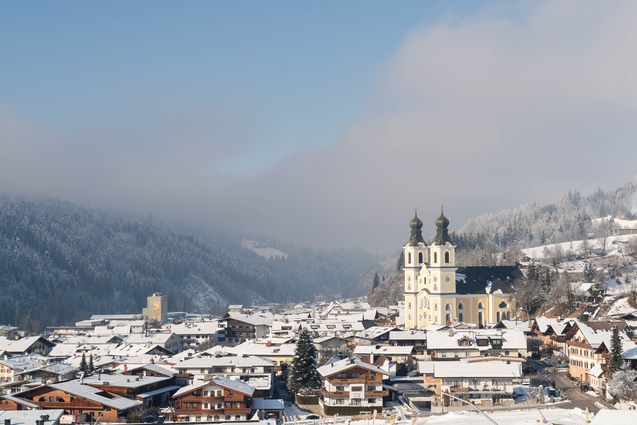
Place:Hopfgarten im Brixental
:Restaurant, Alpine pasture / hut / mountain restaurant, Bar / Pub
Winter hike - Salvenberg
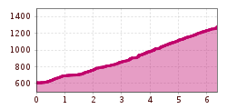
The starting point for this hike is the Hopfgarten information office. From there, follow the signs in the direction of the Salvenbahn valley station. Shortly before the valley station, turn right onto the Lindrainweg trail. Follow trail no. 65 past the Sunnseit Hut to reach the Salvenbahn middle station. Continue to the Salvenalm and follow the road.
Return to the starting point via the same path.
bus: Hopfgarten Berglift Bahnhof
train: Hopfgarten Berglift Bahnhof
Guest card = travel ticket - bus & train included!
Online timetables:
www.vvt.at
www.oebb.at
www.hohe-salve.com/skibus
Car park P3 Wasserfeld (free of charge)
Lift car park - free of charge when using the gondola

Tennerstadl")


 Mirja Geh (26).jpg")


.jpg")
.jpg")


.jpg")


