
Öffnungszeiten:gesperrt
Schwierigkeit:medium
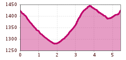
Länge:3.1 kmDauer:1:30 hHöhenmeter bergauf:80 m
Moderately difficult hike in Obertilliach
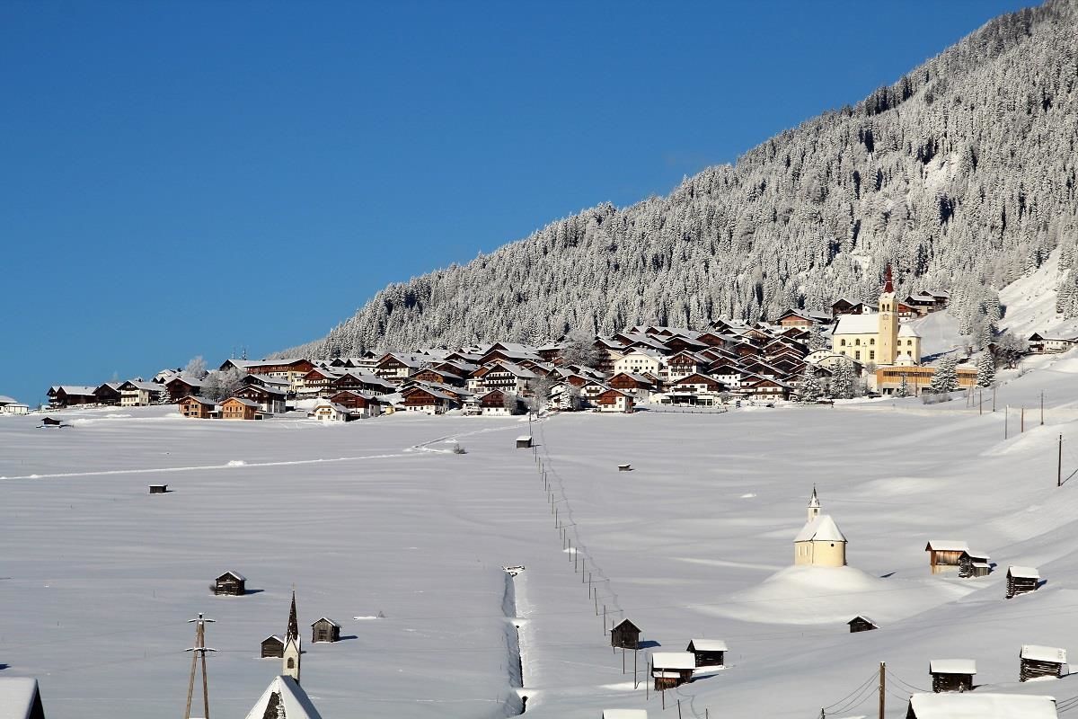
From the village of Obertilliach via the initially cleared winter hiking trail to Bergen. After approx. 300 metres at the fork in the road, continue right along the cleared winter hiking trail through the Tilliach fields in the direction of Bergen. Take the road subway there, walk northwards along the municipal road until just before the bridge over the Gärberbach and follow the signposts along the prepared path - a little steeper in places - to Rals. Stop for refreshments at the Mitterdorfer snack station in Rals. Return to the village via the municipal road or the last 600 metres via the main road to Obertilliach.


