Hikes in Serfaus
Map

Show
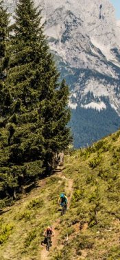
on mapPanorama Trail Serfaus - Möseralm
on mapPanorama Trail Serfaus - Möseralm
Mountain hikes
Starting point: Mid-way station of Komperdellbahn cable car, Serfaus
Length: 5km
Elevation uphill: 150m
Total hiking time: 1 h 45 min
Difficulty rating: easy (hiking trails)

Show
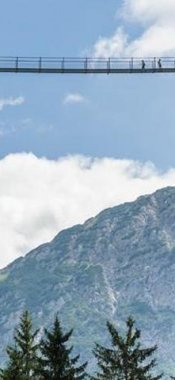
on mapRidgetop Hike Serfaus - Fiss
on mapRidgetop Hike Serfaus - Fiss
Mountain hikes
Starting point: Mid-way station Komperdellbahn cable car
Length: 6km
Elevation uphill: 790m
Total hiking time: 4 h 30 min
Difficulty rating: intermediate (red mountain trails)

Show
on mapSeealm Hög
on mapSeealm Hög
Alpine hikes
Starting point: Serfaus, middle station of the Alpkopfbahn cable car
Length: 2km
Elevation uphill: 35m
Total hiking time: 0 h 30 min
Difficulty rating: easy (hiking trails)
Serfaus: Hikes in the region

Ladis
In Obladis, at 1,386 metres above sea level, lies the source of what is…