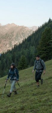
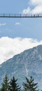
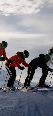
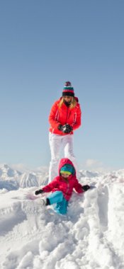
Nestling between the Kitzbühel Alps and the Wilder Kaiser Mountains, the Wilder Kaiser is a region which offers not only excellent skiing and snowboarding but also plenty to see and do away from the slopes. A large network of well-maintained winter hiking trails covering 125 kilometres connects the region’s four villages and invites hikers to discover frozen rivers and glistening snowfields. Many of the hikes lead to spectacular vantage points and cosy huts serving traditional food.

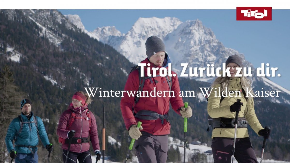
Wilder Kaiser Region: Winter hikes in the region
Map

Show
on mapBiedringer Platte
on mapBiedringer Platte
Starting point: Tourist information centre, Ellmau
Length: 13km
Elevation uphill: 475m
Total hiking time: 4 h 15 min
Difficulty rating: medium

Show
on mapKaiseralm
on mapKaiseralm
Starting point: Wegscheid car park, Scheffau
Length: 5km
Elevation uphill: 250m
Total hiking time: 2 h 30 min
Difficulty rating: medium

Show
on mapSunny Winter Walk on the Schwendter Plateau
on mapSunny Winter Walk on the Schwendter Plateau
Starting point: Tourist information office, Going
Length: 4km
Elevation uphill: 70m
Total hiking time: 1 h 6 min
Difficulty rating: medium

Show
on mapWinter Walk to the Hintersteiner See Lake
on mapWinter Walk to the Hintersteiner See Lake
Starting point: Car park next to the "Seestüberl", Hinterstein near Scheffau
Length: 6km
Elevation uphill: 90m
Total hiking time: 2h
Difficulty rating: medium
can be found on the official website of the tourism office.