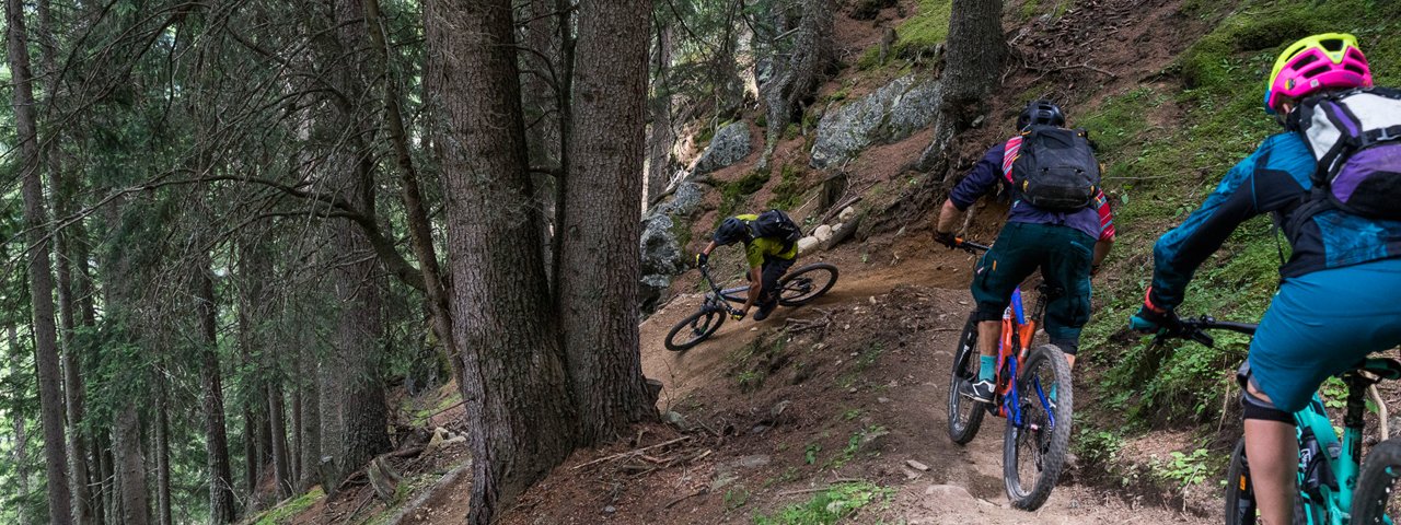
High above Leite, one of the oldest settlements in Sölden, is the Leiterberg Trail. While the first section of the trail is flowy and relatively easy, including stunning panoramic views, the section section below the Leiterberg Alm hut is technically challenging. The 4.5km singletrack descends 550 vertical metres and forms part of the Bike Republic Sölden. It is characterised by root sections and some rocky passages. The lower section with its tight corners and technical parts will pose a challenge even for advanced riders. Beginner and intermediate riders can avoid the tricky lower section using a forest road.


Singletrack

"Very varied trail leading through alpine meadows, forests and rocks with a mixture of relaxing and challenging sections.“
Starting point
Hochsölden
Finishing point
Leiterbergalm/Sölden
Mountain chain
Ötztal Alps
Length
4.5 km
Riding time
0 h 30 min
Features
- Circular route
- Handicap-accessible
- Route with e-bike charging station
Difficulty rating
Singletrack intermediate
Altitude
Vertical metres downhill 550m
Fitness level
Technique
Best time of year
* These are approximate values and recommendations. Please take your personal fitness level, technical ability and the current weather conditions into account. Tirol Werbung cannot guarantee that the information provided is correct and accepts no liability.
Trail description
The Giggijochbahn cable car transports riders and bikes up to 2,284 metres above sea level. From the top station of the cable car, riders descend to Hochsölden. It is here – slightly below the village, next to the first sharp right-hand turn – that the Leiterberg Trail branches off to the right. Shared by hikers and mountainbikers, it is not particularly steep but definitely offers plenty of flow. The fun begins right from the start and signposts direct riders over the Haimbach river to the Leiterberg Alm hut, which is a good place to stop for a drink and a snack.
The route continues past the Edelweißhütte hut, along the forest path and back onto the Leiterberg Trail into the forest, where the terrain becomes more technical. Roots, rocks and steps characterise this section. Advanced riders can work on their bike-handling skills, while beginners can avoid the trickier sections by taking the forest road instead.
The final section down to Lochlehn and Leite is once again easy and flowy. Right at the end there are a few bits of uphill to get back to the centre of Sölden.
This singletrack can be combined with the Hochsölden Panorama Trail to form a challenging ride.


