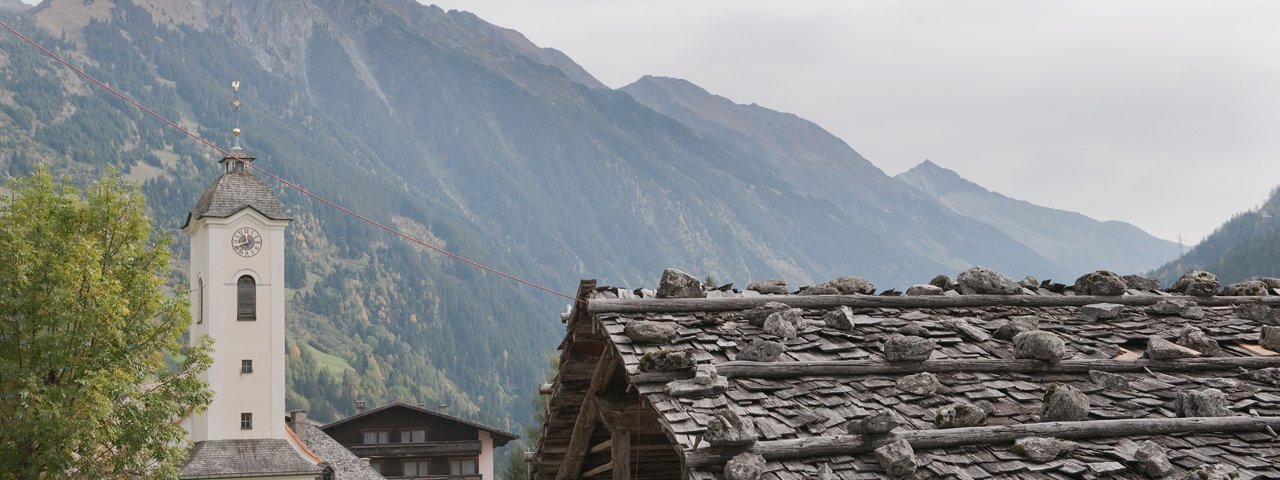
This adventure begins in Brandberg, from where you can already see the destination: the Brandberger Kolm (2,700 metres). At first glance it looks impossible to climb with its steep rock faces high above the floor of the Zillertal Valley. However, it is actually easier to ascend than you may think. The first section is completed by bike and leads to the Brandberger Kolmhaus, where the hike begins. Walkers should have a head for heights and be sure-footed, though the route to the top is actually more straightforward than you may imagine, even if there are a few exposed sections. From valley to summit it is around 1,600 vertical metres. The reward for all that hard work is a fine view of the Zillertal Alps and the Tux Alps.

Bike & Hike Adventure
Starting point
Brandberg
Hike to
Brandberger Kolm (2,700 metres)
Finishing point
Brandberg
Mountain chain
Zillertal Alps
Length
20.8 km
Features
- Wheelchair-accessible Hiking Route
- Circular hike
Difficulty rating
intermediate (red mountain trails)
Altitude
Elevation uphill 1,610m
Vertical metres downhill 1,610m
Best time of year
* These are approximate values and recommendations. Please take your personal fitness level, technical ability and the current weather conditions into account. Tirol Werbung cannot guarantee that the information provided is correct and accepts no liability.
Public transport
- Accessible using public transport
Parking
Car park near the church in Brandberg
Places serving food & drink
- Brandberger Kolmhaus (late May until late October)
- Gasthof Thanner, Brandberg (from late May)
E-Bike-Ladestation
- Gasthof Thanner
- Brandberg
Downloads
Trail description
Bike (intermediate)
Riding time: 2 h 15 min
Distance: 14.8 km
Vertical ascent: 760 vertical metres
Hike (intermediate)
Riding time: 5 h
Distance: 6 km
Vertical ascent: 540 vertical metres
The bike leg begins in Brandberg (1,082 metres), a village to the east of Mayrhofen in the Zillertal Valley. The route up to the Brandberger Kolmhaus (1,845 metres) leads along a tarmac road closed to cars to the hamlet of Ritzl. From there, take mountan bike route 459. This too begins on tarmac with some gravel sections and later turns into a dirt roadwinding its way up through many switchback corners. Thick forest eventually thins out and gives way to open terrain. The slope is south-facing, so on hot days it is a good idea to take plenty of suncream. Shortly after leaving the forest you will reach the Brandberger Kolmhaus, a good place to stop for a rest before the second leg begins.
As soon as you have recharged your batteries and swapped your biking gear for your hiking gear, it's time to head for the heights. The trail first leads through open meadows gently uphill in an easterly direction as far as the Brandberger Kar, where things get a little steeper. At a signpost beneath the summit, turn right (south) and follow the red arrows. These take you along a ridge to the south-west of the peak, where the trail becomes tricker and requires good footing. Hikers will then soon reach the flat, open summit of the mountain.
Return along the way you came.


