© Lisa Hörterer
© Lisa Hörterer

Eagle Walk Stage 03: Kaindlhütte - Kufstein

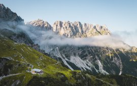
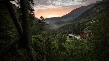
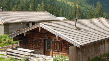
This stage takes hikers to the small town of Kufstein located on the banks of the Inn river – a town which has been celebrated in song and is steeped in history and character. Walkers make their way through the lush and verdant beauty of a pasture paradise with cosy huts and mountain restaurants before stopping for a rest at the Brentenjochhütte hut (delicious “Kiachl” are served every Saturday). With so many sights to marvel at, don't forget to keep an eye out for the nearly one thousand species of flowering plants native to the Kaiser Mountains.

Interesting Facts

Eagle View ·You don’t need an eagle eye to spot Kufstein Castle towering 90 metres above the town on a rocky outcrop overlooking the Inn river. This iconic landmark of Kufstein is one of the most remarkable sights in Tirol. Further attractions include the local heritage museum and the world’s largest outdoor organ, the "Heroes’ Organ", which is played daily at 12:00 noon. Hikers tired after a long walk can also access Kufstein Castle quickly and easily via a gondola offering spectacular views.

Eagle Kick ·A trip to the Gamskogel mountain is a must. Sure, this peak between the Zahmer and Wilder Kaiser Mountains is not the toughest climb in the region, but it promises sweeping views of the Kaisertal Valley and the towering and jagged northern faces of the Wilder Kaiser Mountains.


Interesting Facts Eagle View ·You don’t need an eagle eye to spot Kufstein Castle towering 90 metres above the town on a rocky…

Read moreShow less
Open interactive map

Starting point  

Kaindlhütte

Finishing point

Kufstein

Mountain chain

Kaiser Mountains

Length

12.5 km

Total hiking time

4h

Features

  • Wheelchair-accessible Hiking Route
  • Circular hike

Difficulty rating

intermediate (red mountain trails)

Elevation uphill 160m
Vertical metres downhill 968m

Fitness level

Technique

Best time of year

Jan
Feb
Mar
Apr
May
Jun

Jul
Aug
Sep
Oct
Nov
Dec

* These are approximate values and recommendations. Please take your personal fitness level, technical ability and the current weather conditions into account. Tirol Werbung cannot guarantee that the information provided is correct and accepts no liability.

Eagle Walk

This is a stage of the Eagle Walk, Tirol's most famous long-distance hiking trail.

Downloads

Trail description

Starting point: Kaindlhütte hut

Follow the Bettlersteig trail (marked as trail number 827) from the Kaindlhütte hut heading east, passing the Steinbergalm hut. The trail leads over a saddle to the right of the Brandkogel mountain. Take the left trail towards Gamskogel mountain. Beneath the Brandkogel and Taxköpfl mountains, the trail leads to the peak of the Gamskogel at 1,449 metres. Continue heading west and downhill until you reach the Brentenjochalm hut (at 1,208 metres) after about two kilometres. Now take the panoramic Jochboden trail leading downhill through a forest. When you reach the Schneerosenweg fork, head right and turn left onto the Brentenjoch/Duxer trail after the Duxer Alm hut. Hikers will now walk down to Kufstein along and above the Kienbach stream. Walk along the Kienbergstraße and Georg-Pirmoser-Straße roads to reach the Inn river. Cross the bridge to reach Kuftstein train station.

Finishing point: Kufstein


Information on place

Arrival date

How to get here by plane, train, bus or car.

Ihr Ziel: Eagle Walk Stage 03: Kaindlhütte - Kufstein (47.56605,12.2315)

powered by Rome2Rio

Search accommodation

Number of travelers

Hiking trails in this region

show more +

How did you like this article?

Want to receive an answer? If so, please get in touch using the contact form.

Go up

Is your inbox in need of a holiday?

Then subscribe to our weekly newsletter full of exclusive holiday tips from Tirol!