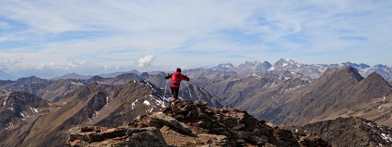
The Hochgrabe is one of the highest and most interesting peaks in the Villgratten Mountains. Rising almost three thousand metres into the sky, it is accessed on this hike via the northern route across the Wilde Platte mountain. All in all this is an easy hike offering fabulous views.

Summit Hike
Starting point
Volkzeiner Hütte, Winkeltal
Hike to
Hochgrabe
Finishing point
Volkzeiner Hütte, Winkeltal
Mountain chain
Villgraten Mountains
Length
11.8 km
Total hiking time
7h
Features
- Wheelchair-accessible Hiking Route
- Circular hike
Difficulty rating
intermediate (red mountain trails)
Altitude
Elevation uphill 1,085m
Vertical metres downhill 1,085m
Fitness level
Technique
Best time of year
* These are approximate values and recommendations. Please take your personal fitness level, technical ability and the current weather conditions into account. Tirol Werbung cannot guarantee that the information provided is correct and accepts no liability.
Public transport
- Accessible using public transport
Bus route 966, get off at stop Außervillgraten Abzw. Winkeltal
Parking
Parking available in Bach, five minutes from the Volkzeiner Hütte
Places serving food & drink
Volkzeiner Hütte (early June until second half of October)
Downloads
Trail description
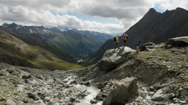
This hike begins at the Volkzeiner Hütte (1,886 metres), a hut in the Winkeltal Valley accessible from the village of Außervillgraten. From the car park a little below the hut, walk a few minutes along the left bank of the stream into the valley. Then ascend the left-hand slope, where the sparse forest soon turns into fields of alpine roses. After about three quarters of an hour's walk, you reach the meadows of the Heinkaralm. Staying on the left-hand mountain slope, you come to a meadow area with a small stream running through it. Continue up a steep path and then cross to the right to the Schrentebachboden and the Schrente waterfall (2,368 metres). The landscape here is lovely and gentle with green meadows, cotton grass and babbling streams. At the Wilde Platte, follow the signs for Hochgrabe. The trail leads southwards from the Schrentebachboden through a small, narrow valley (ignore the turn-off to Arntaler Lenke). Over scree slopes, the trail turns slightly left onto a rock step to the legendary Goldtrögele (2,642 metres), where you won't find any gold, but you can admire the natural treasure of the landscape with interesting glacial striations and mossy rock. A signpost indicates an hour's walk to the Hochgrabeg summit. Continue up past cairns to the summit flank and via the north-east ridge to the summit with the summit cross (2,951 metres).
The way back leads down along the ascent route. A nice variation from Schrentebachboden is to turn left instead of right. Cross the stream and hike along the steep, stony path no. 19 in a zigzag course down to the Hainkaralm (2,113 metres). From here, take the alpine access path on the left-hand side of the stream down to the Volkzeiner Hütte.


