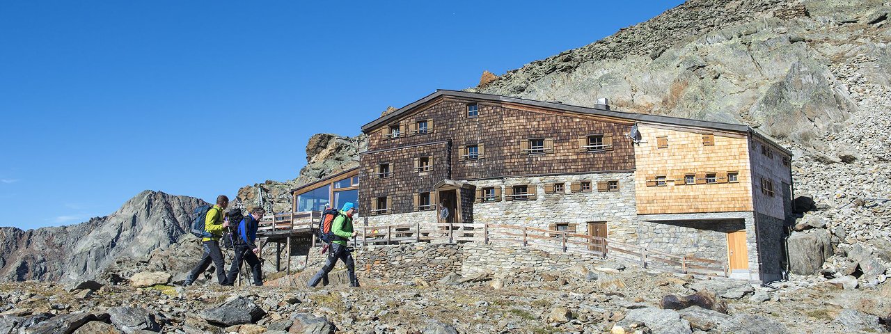
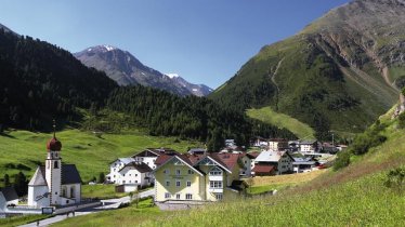
This walk takes fit hikers to a border region between North Tirol (Austria) and South Tirol (Italy). The starting point is the village of Vent (1,896 metres) on the Venter Ache, with the Martin-Busch-Hütte (2,501 metres) as a stopover. From here, you follow an alpine trail up to the Similaunhütte hut (3,019 metres), where a very special reward awaits in the form of a wonderful panoramic view of the Similaun mountain (3,599 metres) and the Ortler Massif. Walking there and back in one day is very ambitious, so we recommend an overnight stay at the Martin-Busch-Hütte on the way back. If you would like to spend the night at the Similaunhütte hut instead, you should consider a detour to the nearby site where the 5000-year-old remains of Ötzi the Iceman were found.

Mountain Hike
Starting point
Southern end of the village of Vent
Hike to
Similaunhütte
Finishing point
Southern end of the village of Vent
Mountain chain
Ötztal Alps
Length
24.4 km
Total hiking time
9h
Features
- Wheelchair-accessible Hiking Route
- Circular hike
Difficulty rating
intermediate (red mountain trails)
Altitude
Elevation uphill 1,150m
Vertical metres downhill 1,150m
Fitness level
Technique
Best time of year
* These are approximate values and recommendations. Please take your personal fitness level, technical ability and the current weather conditions into account. Tirol Werbung cannot guarantee that the information provided is correct and accepts no liability.
Public transport
- Accessible using public transport
Bus route 8400, get off at stop Vent Hotel Similaun
Parking
Pay-and-display parking options in Vent (centre of village; near the river)
Places serving food & drink
- Martin-Busch-Hütte (April, Juli until September)
- Similaunhütte (March until October)
- Gasthof Weißkugel
- Gasthaus Alpenrose in Vent
Downloads
Trail description
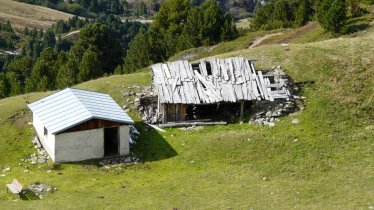
This hike begins at the southern end of Vent. After crossing two rivers (Venter Ache and Niedertaler Ache), take a wide trail past a new hut and a chapel into the Niedertal Valley. Soon you will reach a fascinating treeless landscape full of craggy rockfaces stretching into the sky. Continue uphill to an old shepherd's hut (2,230 metres) and then on to the Martin-Busch-Hütte (2,501 metres).
After a rest at the hut, follow the signs for "Similaunhütte" to the north-west on the lower path to the hut further into the inner valley area, mostly over boulder rubble and accompanied by mountain streams and bubbling rivulets. A signpost indicates the turn-off to the right. The path winds steadily upwards over moraine cones and leads below the Sayplatten to the edge of the Niederjochferner. A signpost indicates the turn-off to the place where the remains of Ötzi the Iceman were found .Continue left to the Similaunhütte hut. Slightly downhill and uphill via a short secured passage and again on a moraine ridge, the trail leads directly to the Similaunhütte (3,019 metres) at the foot of the Similaun mountain. On the last part of the route you may have to cross a snowfield, but there are no dangerous crevasses.
Return along the way you came.


