
Opening hours:Open today
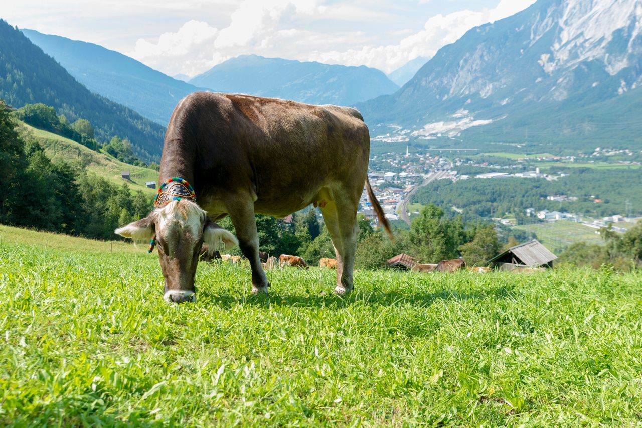
Place:Umhausen
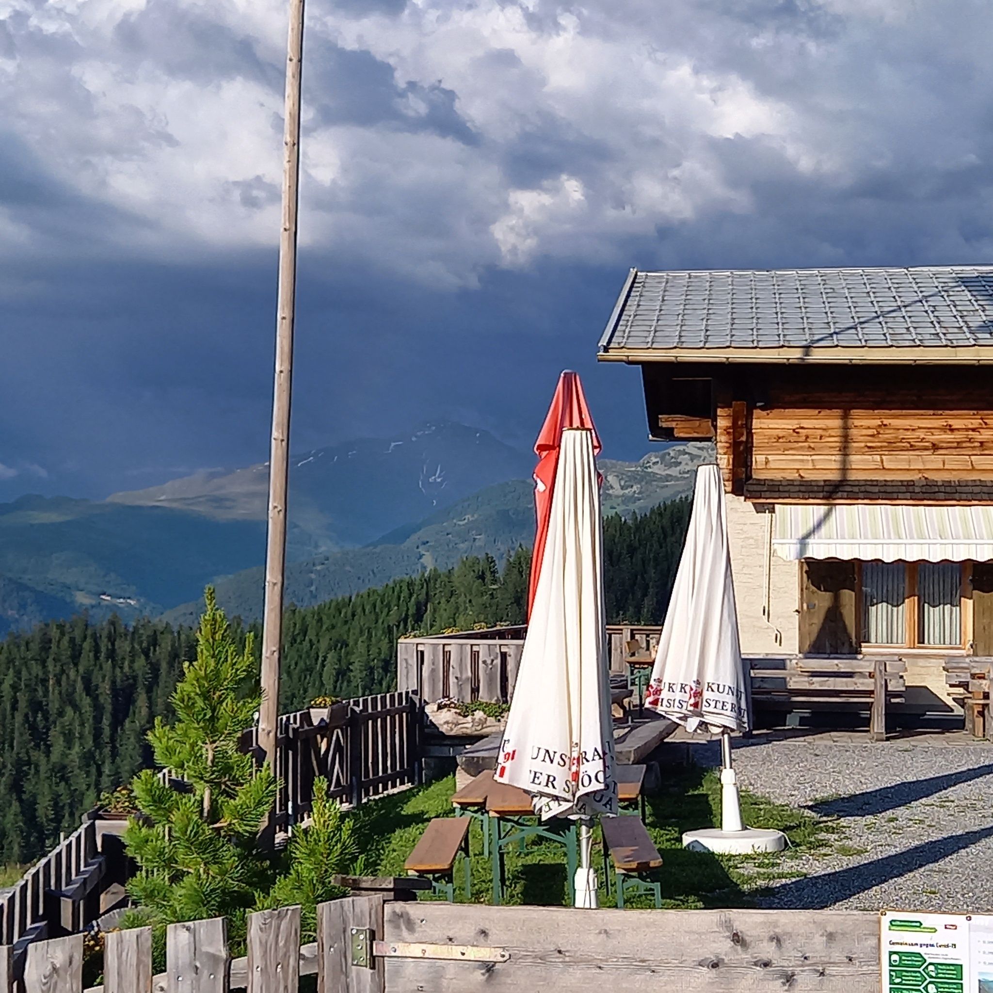
:Alpine pasture / hut / mountain restaurant
STAGE 21 – 22Frischmannhütte (2,192 m) – Fundusfeiler (3,079 m) – Erlanger Hütte (2,541 m) – Forchheimer Route – Maisalm (1,631 m) – Ötztal Station (704 m)

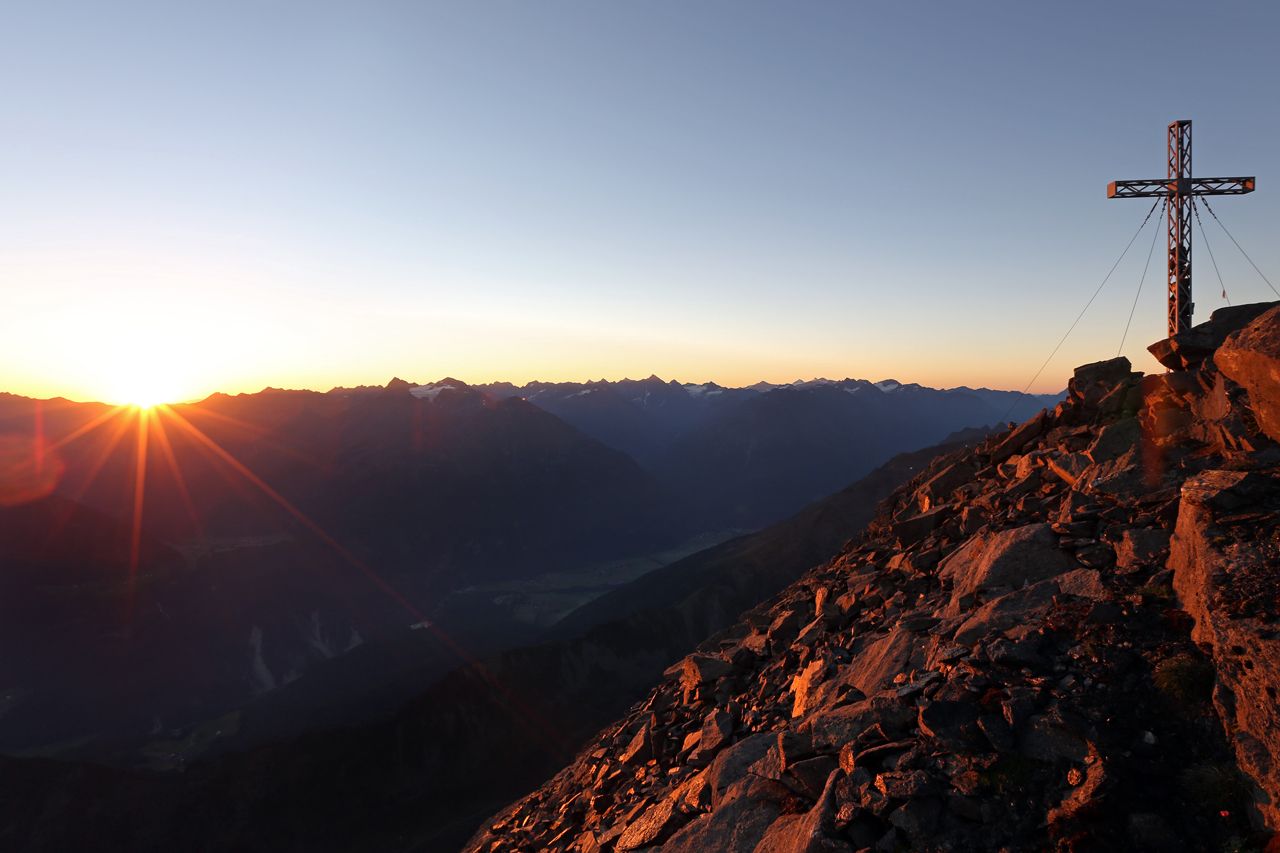
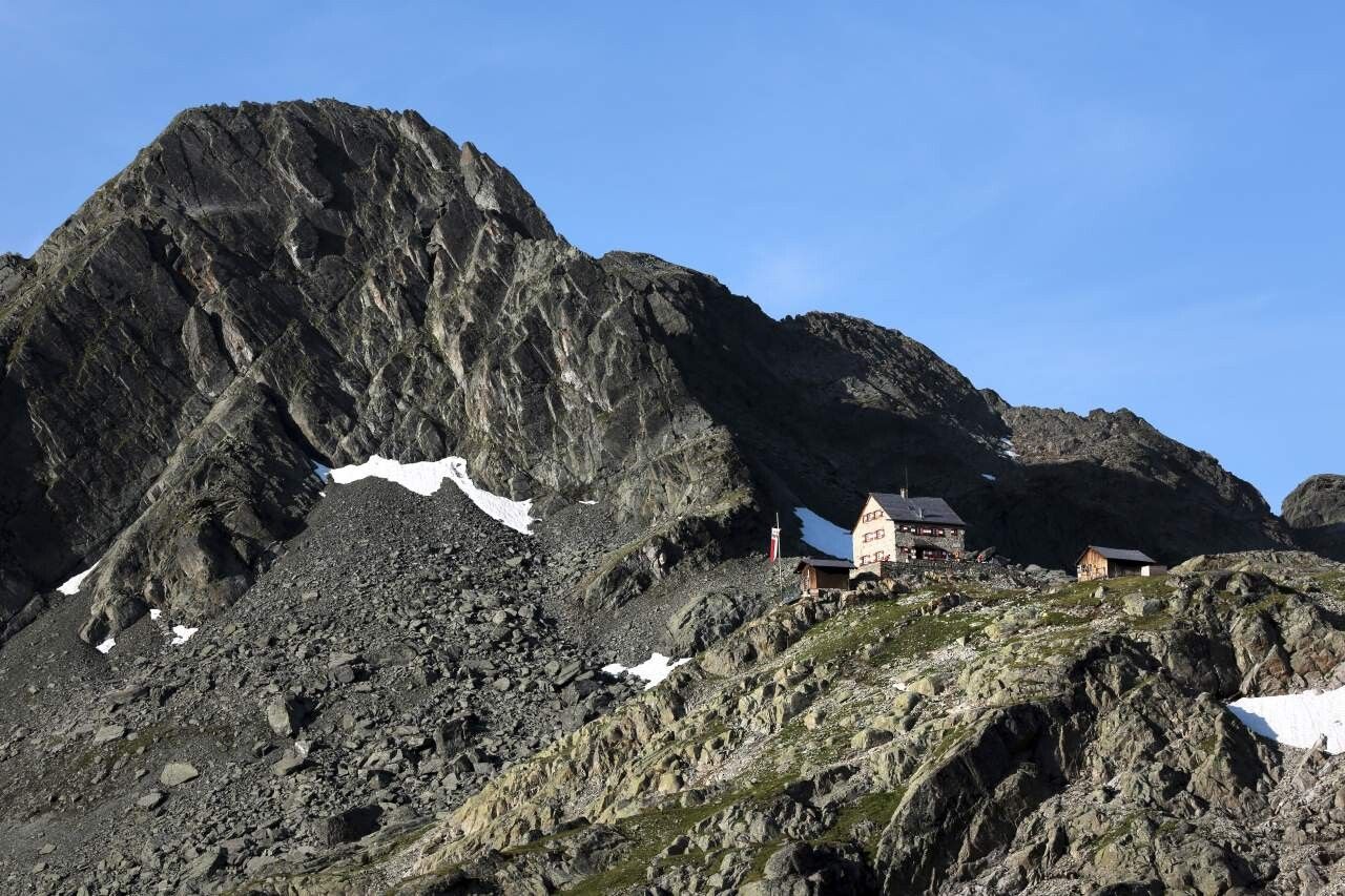
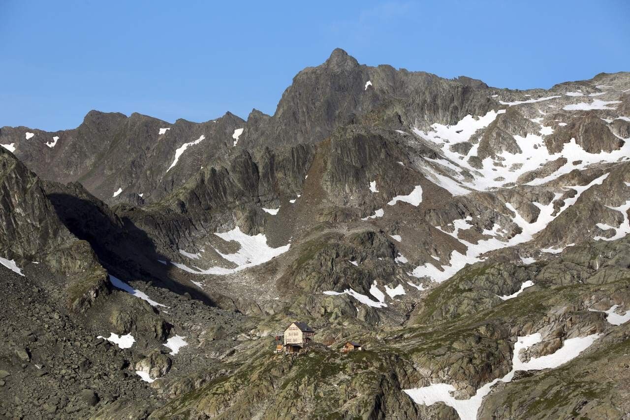
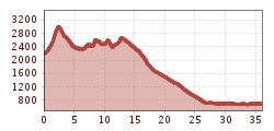
ACROSS GEIGENKAMM – FORCHHEIMER ROUTEElevation gain: 1,750 m ascent; 3,250 m descent Distance: 29 kmThe last route of the Ötztal Trek takes place over 2 stages, whereby it makes sense to stay overnight during the last stage. Otherwise, one would have to manage about 2,350 m of descent in one day! From the Erlanger Hütte, the very scenic Forchheimer Route continues!
Travel comfortably and safely by train to the Ötztal station. The final stop or exit point is the ÖTZTAL station. Afterwards, you can travel conveniently and quickly through the entire valley to your desired destination by public transportation or local taxi companies! The current bus timetable is available at: http://fahrplan.vvt.at
The following parking options are available in Umhausen:


")


