

Place:Vent
:Alpine pasture / hut / mountain restaurant
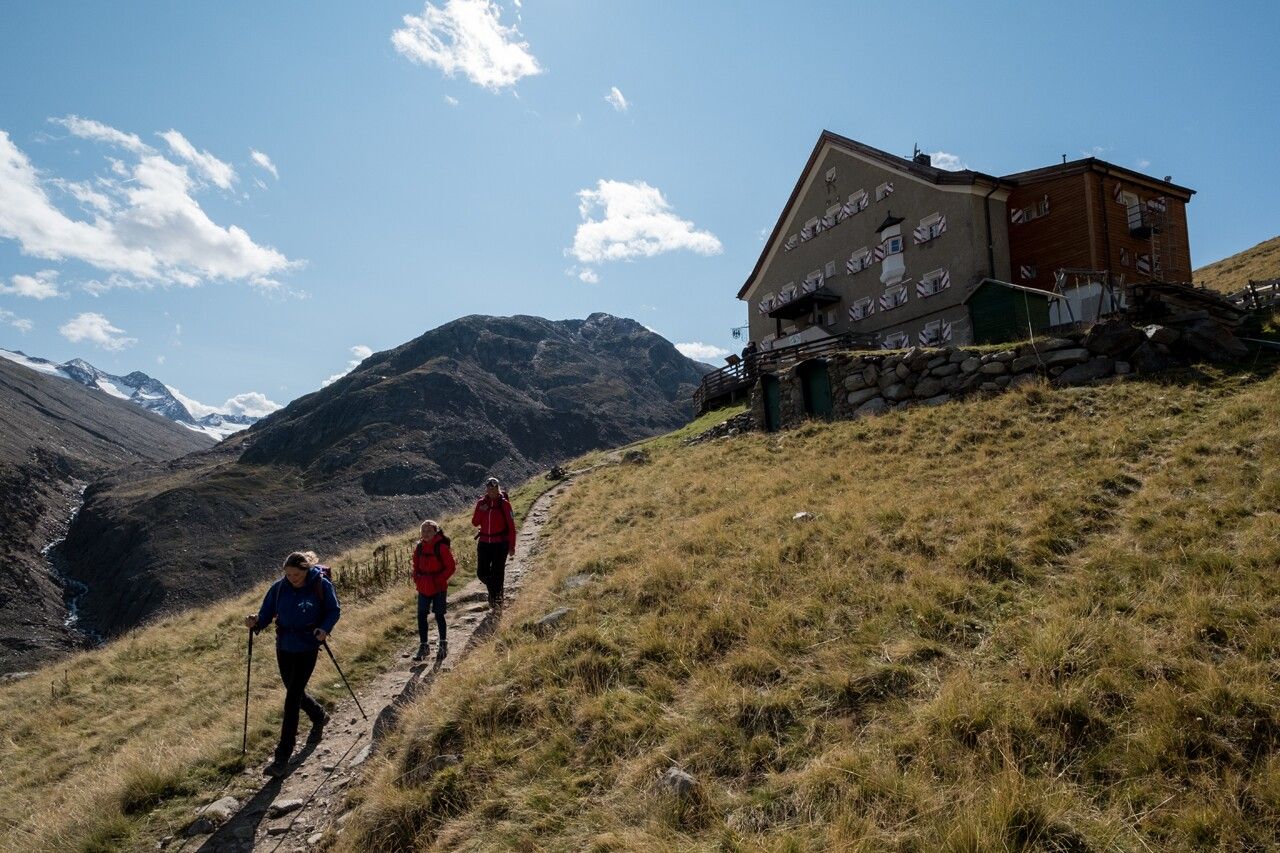
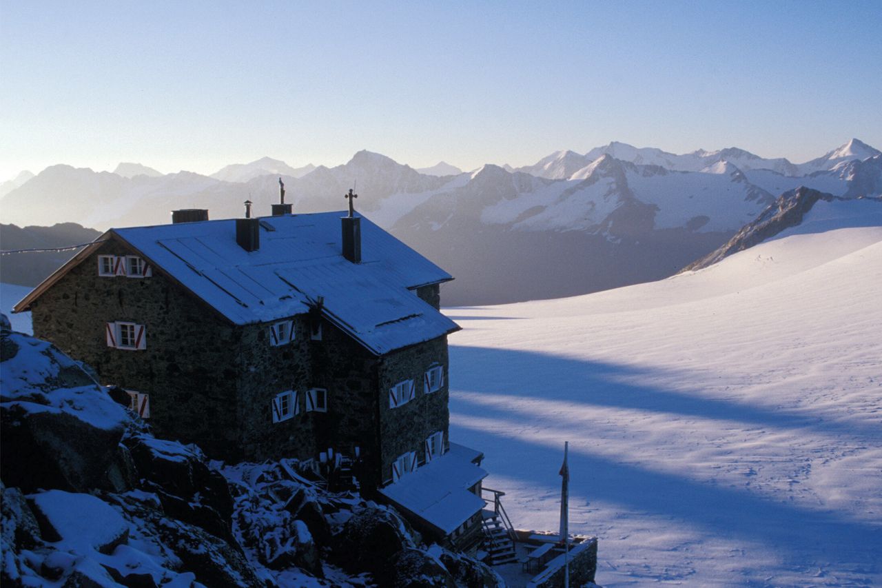
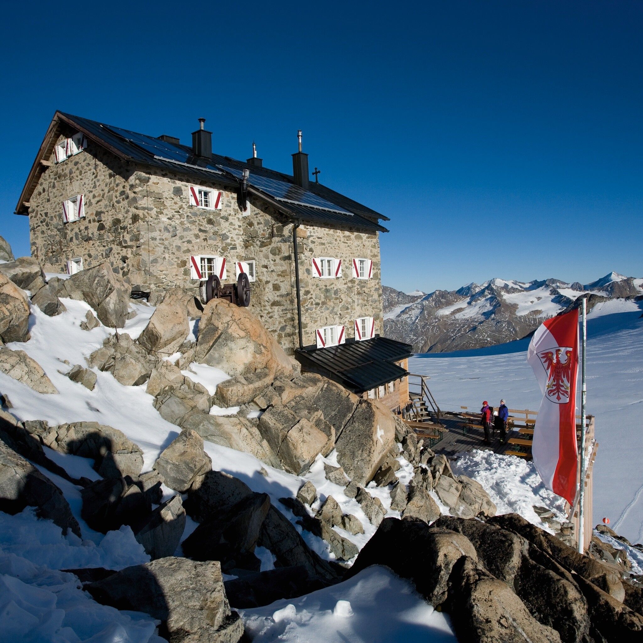
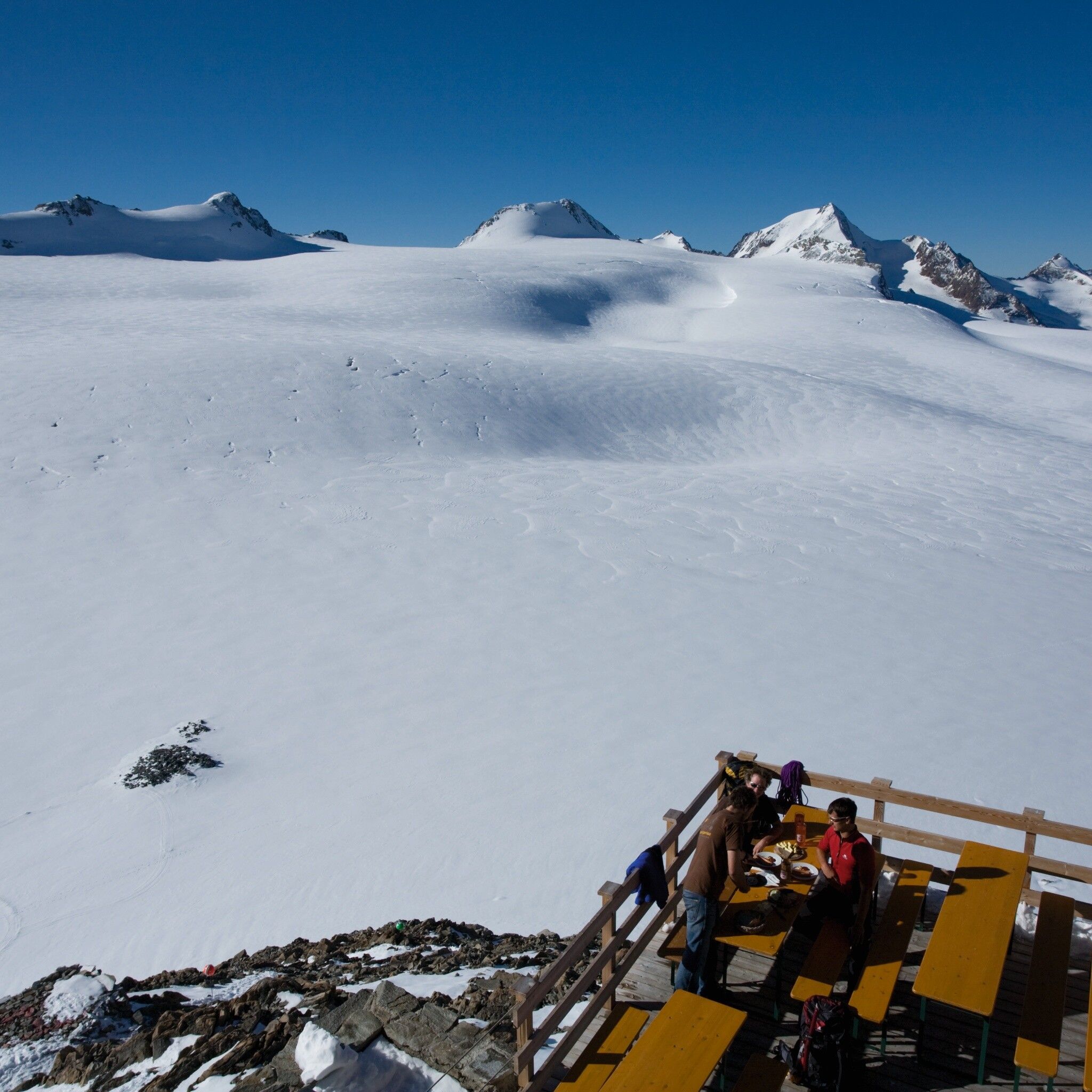
If any mountain hut truly stands out, it is surely the Brandenburger Haus. As the Alpine Club’s highest mountain hut, the Kesselwandferner glacier—which hikers must cross—lies practically at its feet. Thanks to this hut, one of the largest contiguous glacier areas in the Eastern Alps has been made accessible to mountaineers.
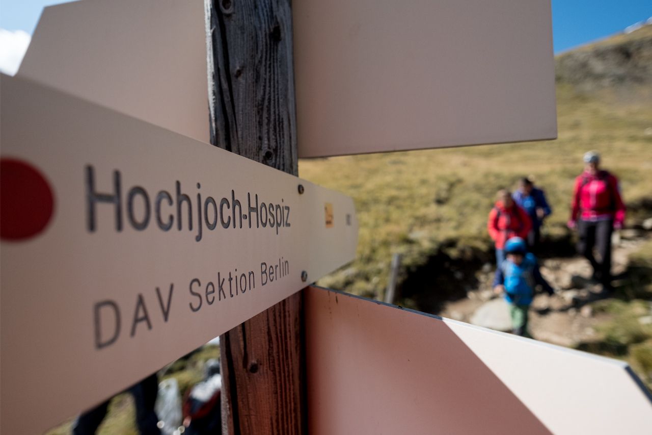
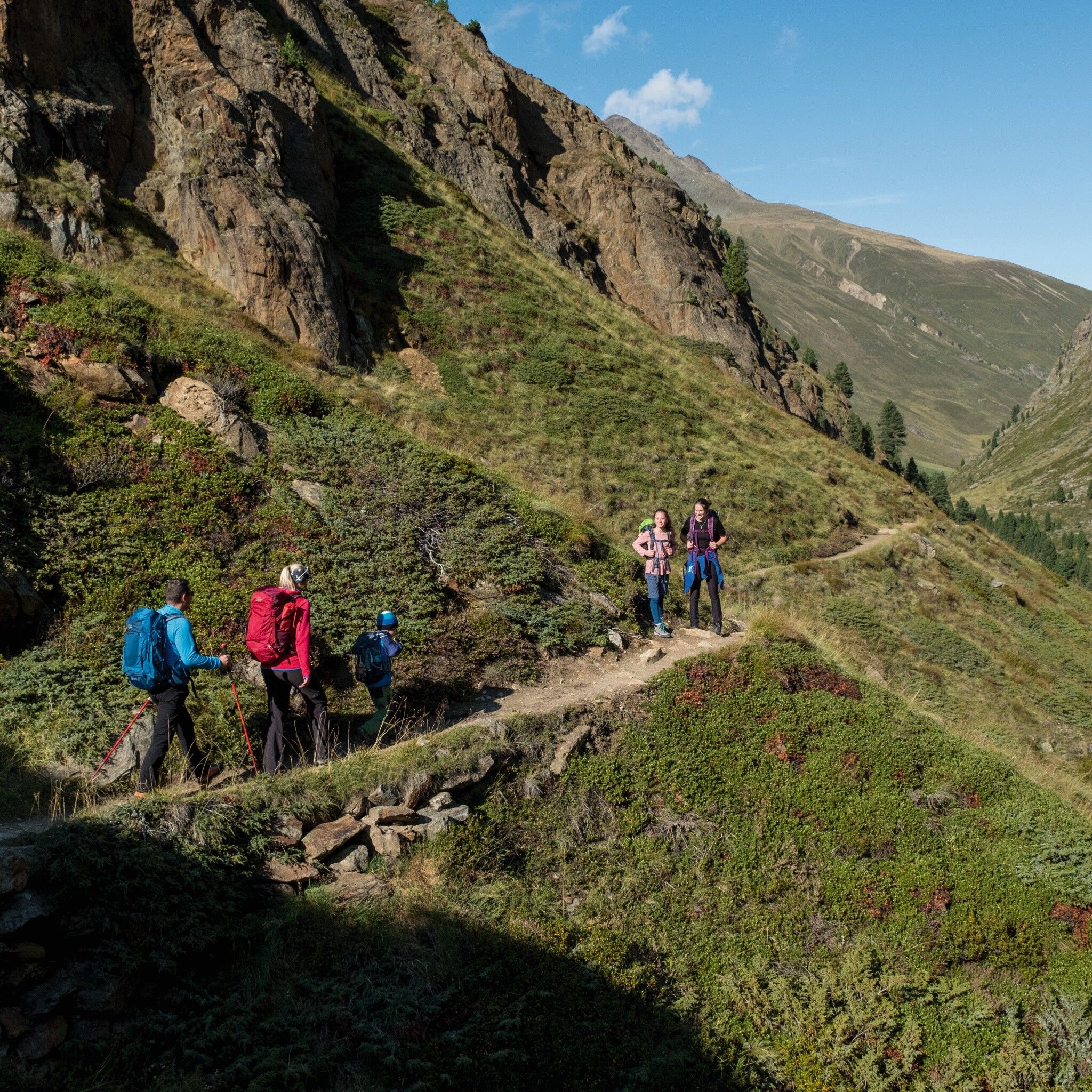
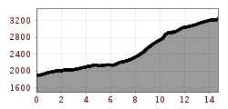
A challenging mountain hike starting from Vent that includes a glacier crossing of the Kesselwandferner. The route begins across meadows to Rofen, through the Rofner Schlucht, and up a steep trail to the Hochjoch Hospiz. After another short climb, you’ll pass the rugged, jagged tongue of the Kesselwandferner Glacier. The final stretch leads across the glacier to the Brandenberger Haus. For experienced glacier hikers with the proper equipment, this is a beautiful tour offering unique glacier views from the Brandenberger Haus. From here, high-alpine glacier crossings to other huts—such as those in the Kaunertal—or to the surrounding peaks are possible.
Appropriate equipment such as breathable and weather-appropriate outdoor clothing, ankle-high hiking shoes, wind, rain and sun protection, a hat, possibly gloves, is necessary for all hikes and routes. Carrying a first aid kit, a mobile phone and possibly a hiking map, as well as sufficient provisions for hikes without any food stops, is required.
From Vent over the meadows and the suspension bridge to Rofen. From there continue to the material cable car of the Vernagthütte and further through the impressive Rofner Gorge on a path that first ascends moderately, then steeply, to the Hochjoch Hospiz. From there up the steep switchbacks of the slope, after about 15 minutes the path branches off to the left; passing the rugged tongue of the Kesselwand Glacier. The last part of the path leads over the Kesselwand Glacier (only with a rope and in a group).
Travel comfortably and safely by train to the Ötztal train station. The final stop or exit point is ÖTZTAL station. Afterwards, you can travel comfortably and quickly by public transport or local taxi companies through the entire valley to your desired destination! The current bus timetable is available at: http://fahrplan.vvt.at
Vent is located in western Austria in the state of TYROL, in a southern side valley of the Inn valley - the ÖTZTAL. For your trip by car, plan the optimal route from your home location with the route planner online here: https://www.google.at/maps
In the mountaineering village of Vent the following parking options are available.
- In summer, in front of the village (parking meter, coins or EC card only) and at the valley station of the chairlift (at the cable car cashier)
- In winter, only at the valley station of the chairlift.
Cost: € 6.00 per day/car


