
Opening hours:Open today
Place:Brixlegg
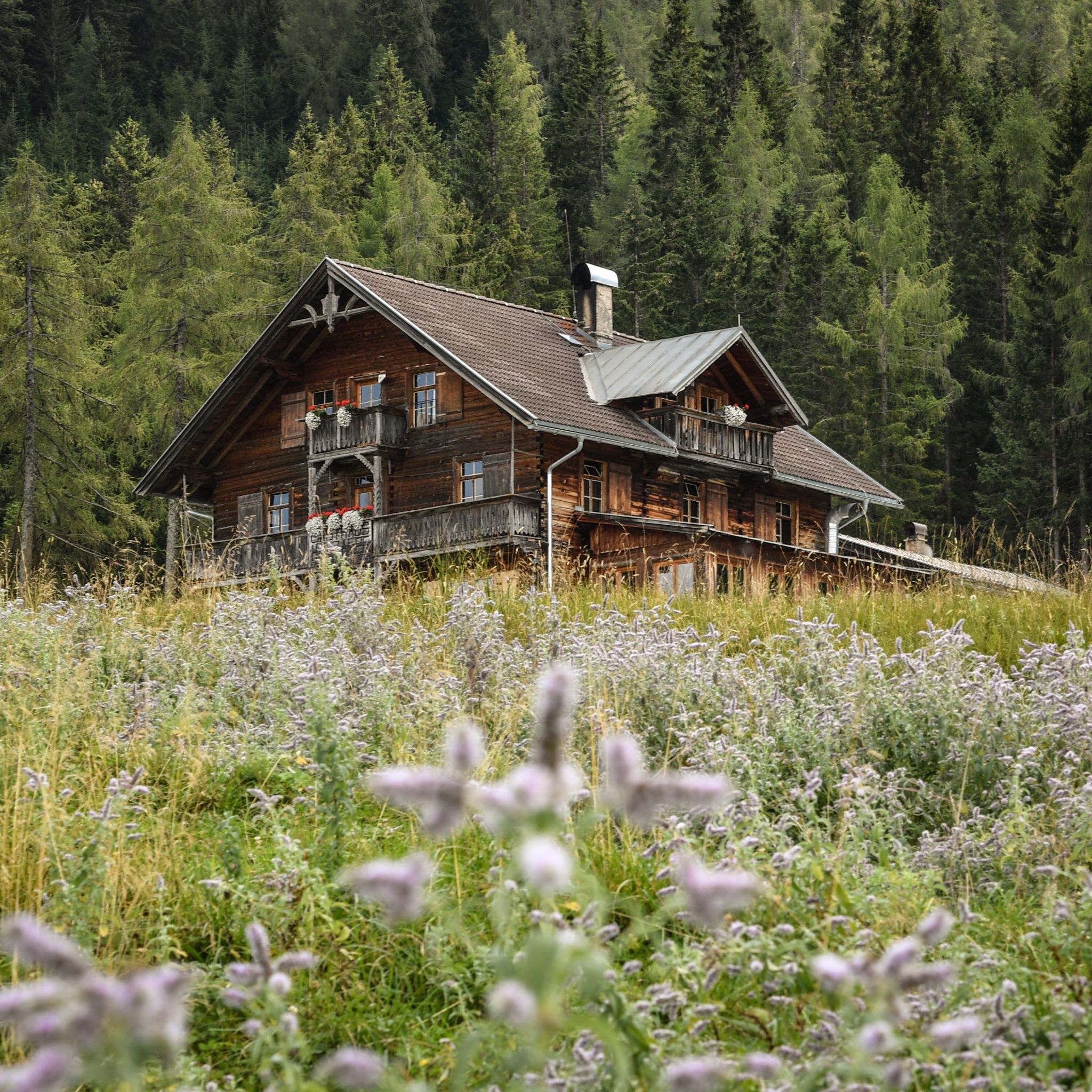
:Alpine pasture / hut / mountain restaurant
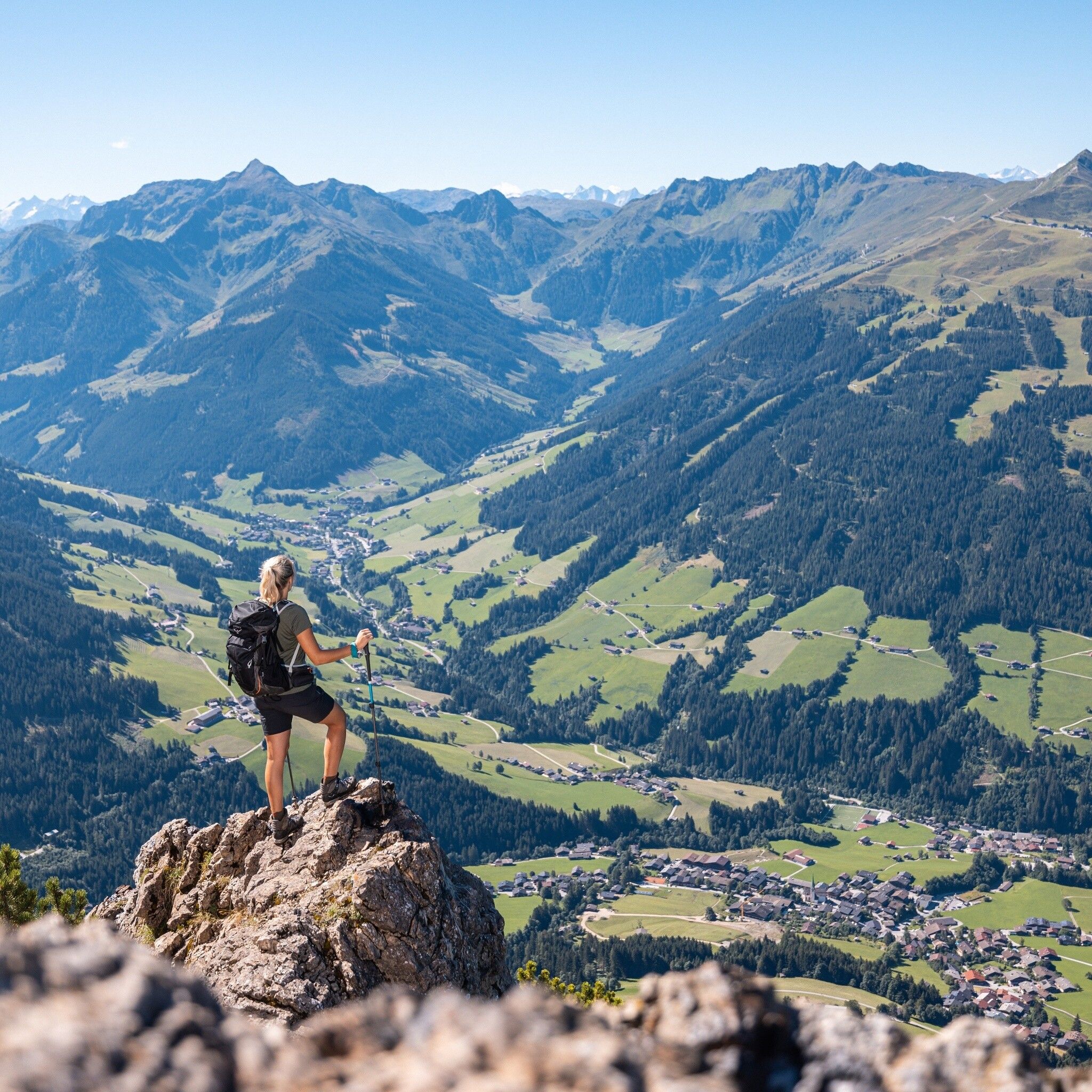
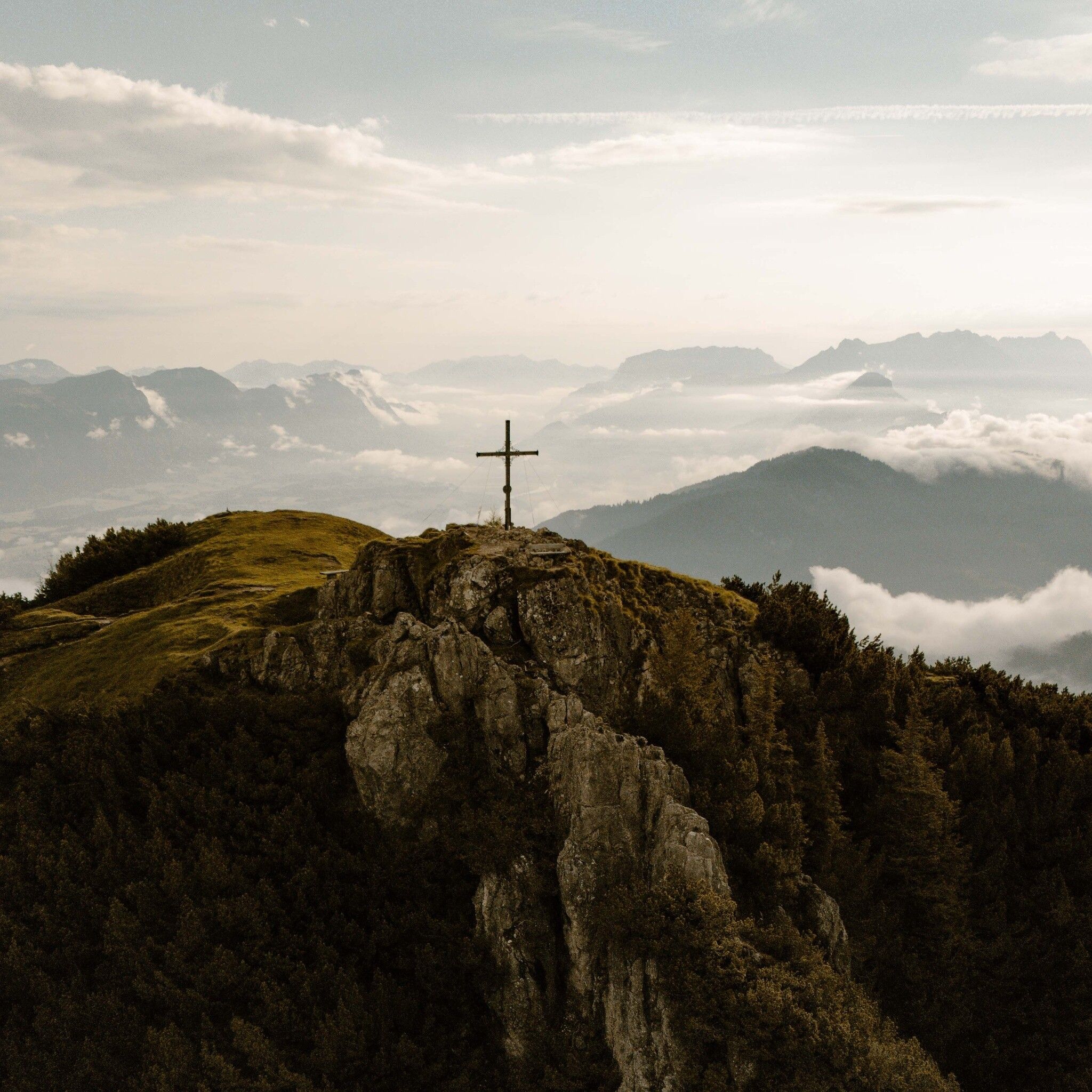
Where should you look first? Down into the Alpbachtal? Opposite the Karwendel and Rofan mountains? To the jagged skyline of the Wilder Kaiser? To the alleged 26 church towers? Or the high snow-capped mountains of the Zillertal Alps and Hohe Tauern? The Gratlspitze is one of our favorite panoramic mountains in Tyrol.
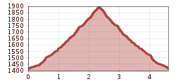
The ascent to the Holzalm reduces the ascent time to 1.5 hours. The ascent requires sure-footedness in the upper section, with steel cables occasionally leading over easy rocky sections to the magnificent summit view. If you don't want to take the same route back to the Holzalm, you can also extend the tour via the Bischofer Joch or the Hösljoch to create a circular tour. A direct ascent from the village of Alpbach is also possible. You should plan a detour there anyway, as it is considered the most beautiful village in Austria.

Surefootedness is required!
Sturdy shoes and weatherproof clothing
Drive from Brixlegg via Zimmermoos, past the Schwarzenberg chapel, continuing over the forest road to the Berggasthof Holzalm parking lot.
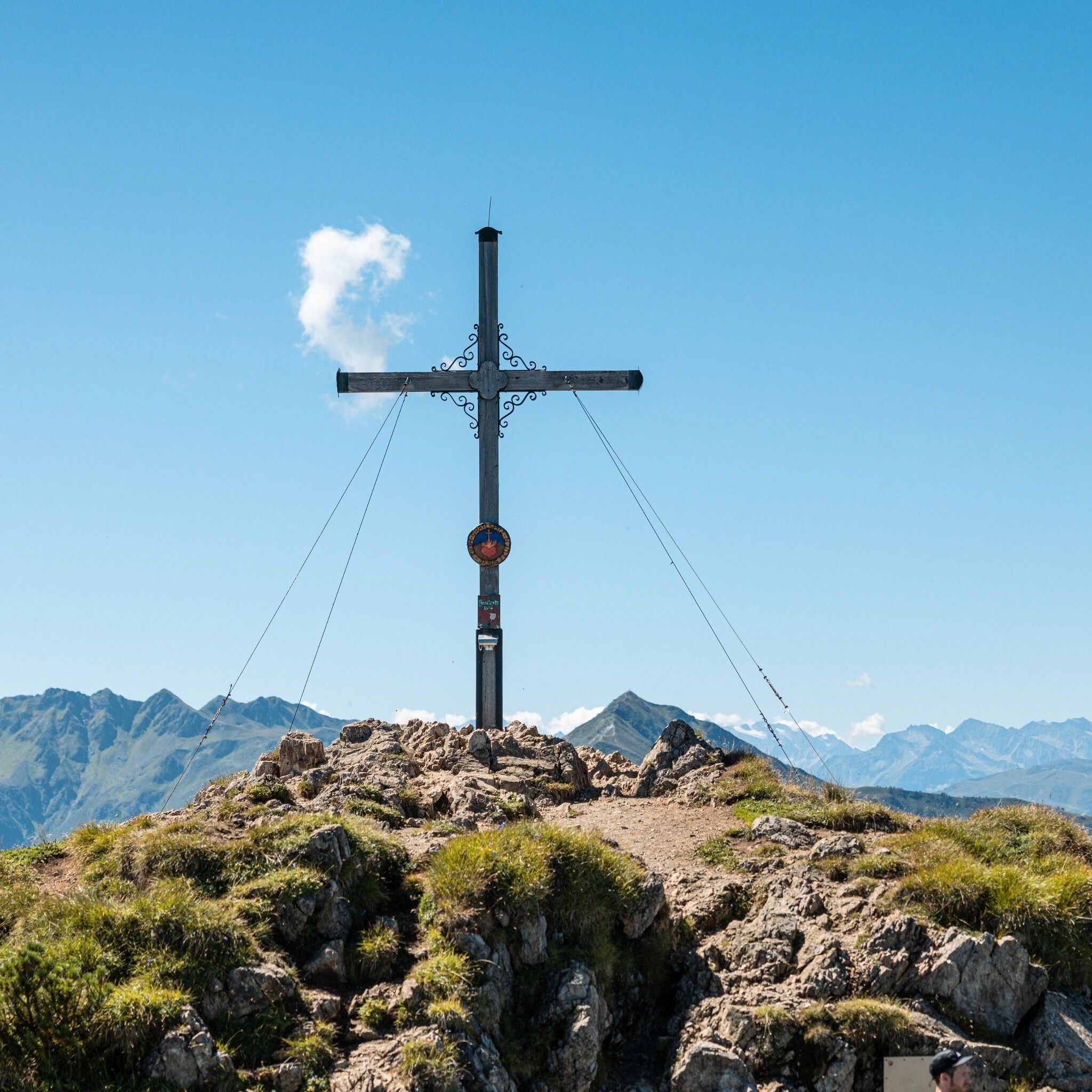
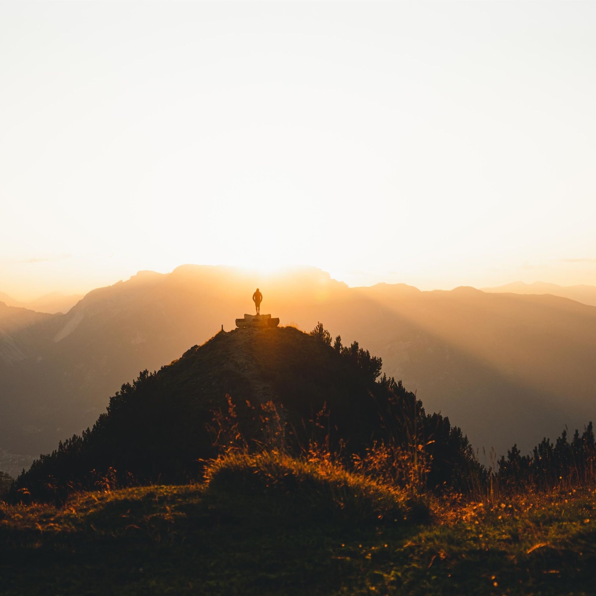
From the parking lot, the path leads past the Holzalm. Immediately behind the Alm, follow the signs for "Gratlspitze." Now along the trail, first through the forest, then through mountain pines to the "Ernarast" and further to the summit (in about 1 hour 45 minutes). Return the same way; the summit is known for its excellent panoramic view and is therefore also ideal for sunrise hikes! Those who want to experience the daily recurring natural spectacle on their own can hike toward the sun on Gratlspitze. The 1,899-meter high lookout mountain towers above the rooftops of the village of Alpbach. The summit impresses with a magnificent panorama: alongside the highest mountain in the Kufstein district, the Großer Galtenberg, you can spot countless peaks from the Karwendel to the Hohe Tauern. Besides 26 church towers, over 800 mountain summits can be seen from here.
not possible
Drive from Brixlegg via Zimmermoos, past the Schwarzenberg chapel, continuing over the forest road to the Holzalm parking lot.


")


