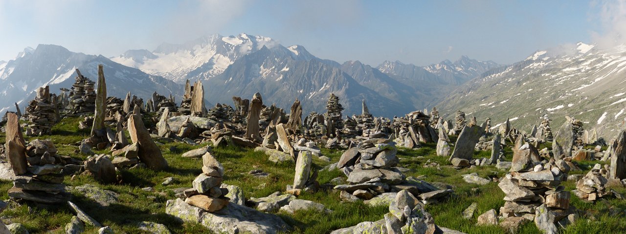
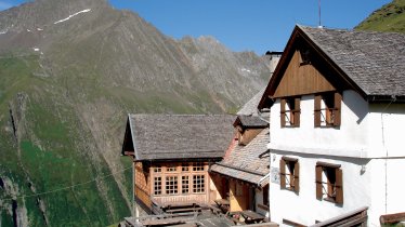
Petersköpfl mountain (2,679 metres) is a magical place in the Zillertal Alps Nature Park. Already as you approach from the Friesenberghaus hut you will be able to see the "Steinmänner", small clusters of stones piled on top of each other, typically found in the Alps. As well as fine views of the Großer Möseler, Hochfeiler and Hochferner peaks, hikers can look forward to a highlight right at the very start of the walk: the deep blue Schlegeis reservoir with its impressive dam wall surrounded by lush meadows.

Nature Park Summit Hike
Starting point
Schlegeis reservoir
Hike to
Petersköpfl mountain
Finishing point
Schlegeis reservoir
Mountain chain
Zillertal Alps
Length
12.5 km
Total hiking time
6h
Features
- Wheelchair-accessible Hiking Route
- Circular hike
Difficulty rating
difficult (black trails)
Altitude
Elevation uphill 902m
Vertical metres downhill 902m
Fitness level
Technique
Best time of year
* These are approximate values and recommendations. Please take your personal fitness level, technical ability and the current weather conditions into account. Tirol Werbung cannot guarantee that the information provided is correct and accepts no liability.
Public transport
- Accessible using public transport
Parking
Car park at the Schlegeis reservoir (parking charge is included in the toll fee for use of the Schlegeis-Alpenstraße road)
Places serving food & drink
- Dominikushütte (late May until late October)
- Bergrestaurant Schlegeis (mid-May until late September)
- Friesenberghaus (mid-June until mid-September)
Downloads
Trail description
The starting point is the Schlegeis reservoir, which is readily accessible by public transport from Mayrhofen and Ginzling (bus line 4102). Shortly after the last tunnel, a short footpath climbs to the Dominikushütte hut and merges with trail number 532 heading towards the Friesenberghaus lodge. Having reached the Friesenberghaus lodge at an elevation of 2,477 meters, follow the narrow path in a northeasterly direction until you reach the summit of the Hoher Riffler. A final climb that gains another 200 metres brings you to the top of the Petersköpfl mountain. Descend along the same route.


