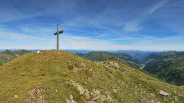
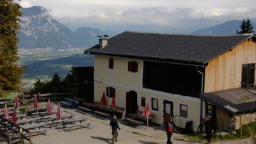
This challenging one-day hike begins in the village of Unterlangkampfen and leads via the Höhlensteinhaus up to the mountain ridge connecting the Köglhörndl (1,645 metres) mountain with the Hundsalmjoch (1,637 metres). In the sections on the ridge where the trees become thinner there are fine views of the Inn Valley and the Brandenberg Alps. The descent back down into the valley passes the Buchackeralm, a traditional mountain hut serving food, on its way to Mariastein, a small village known for its castle and accompanying pilgrimage church.

Mountain Hike
Starting point
Mariastein
Hike to
Köglhörndl, Buchackeralm
Finishing point
Mariastein
Mountain chain
Brandenberg Alps (Rofan)
Length
15.9 km
Total hiking time
8 h 30 min
Features
- Wheelchair-accessible Hiking Route
- Circular hike
Difficulty rating
intermediate (red mountain trails)
Altitude
Elevation uphill 1,280m
Vertical metres downhill 1,260m
Fitness level
Technique
Best time of year
* These are approximate values and recommendations. Please take your personal fitness level, technical ability and the current weather conditions into account. Tirol Werbung cannot guarantee that the information provided is correct and accepts no liability.
Parking
Various locations, including next to the municipal building (Gemeindeamt) in Langkampfen
Downloads
Trail description
This walk begins with a ten-minute bus ride from Mariastein to Unterlangkampfen (bus route 4068). For information regarding bus times please visit www.vvt.at. It is also possible to park in Unterlangkampfen or to hike the route in the opposite direction, starting in Mariastein and finishing in Unterlangkampfen.
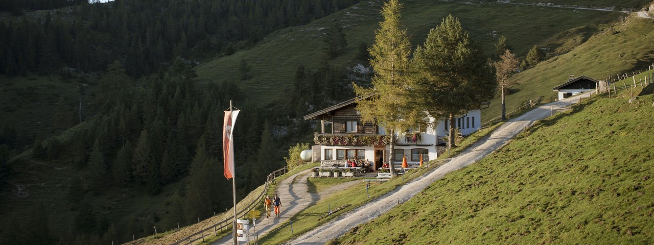
Above the parish church in Unterlangkampfen follow the signed forest road to “Höhlensteinhaus”. Then take the right fork onto a dirt road. A steady climb will take you up through forest until at the end of the trees. You will come out onto wide open alpine meadows, where you will find the Höhlensteinhaus lodge. From there the track steeply climbs through lush forest to the “Köglhörndl” mountain. This is a steady and partly rocky climb through remote and pristine woodland that leads up to the ridge. The walk continues uphill and downhill with a last climb taking you atop the Hundsalmjoch col. Leave the ridge and follow the route opposite the Hundsalmkreuz cross. From there it's a gentle downhill stroll to alpine meadows and pastures. Cut out portions of the walk by taking the left fork from the forest road and walk downhill over verdant meadows until you reach the Almgasthof Buchacker.
From the hut it is another one-kilometre downhill walk on the forest road until the route branches off to the Kaiserhaus lodge. Ignore this fork and continue walking down on the forest road towards Mariastein. In the last sharp hairpin bend to the right follow signage to “Gasthaus Buchacker” and “Eishöhle” (ice cave) and descend on a singletrack until you get to a tiny chapel. Take the fork to the left and follow this 1.8-kilometre-long road that will bring you to Mariastein.
Tip! At the Buchackeralm hut we recommend stopping to enjoy an eagle's eye view of the mountains at the Eagle View Overlook, a special sightseeing telescope viewer that offers breathtaking 360° views of the surrounding ranges.


