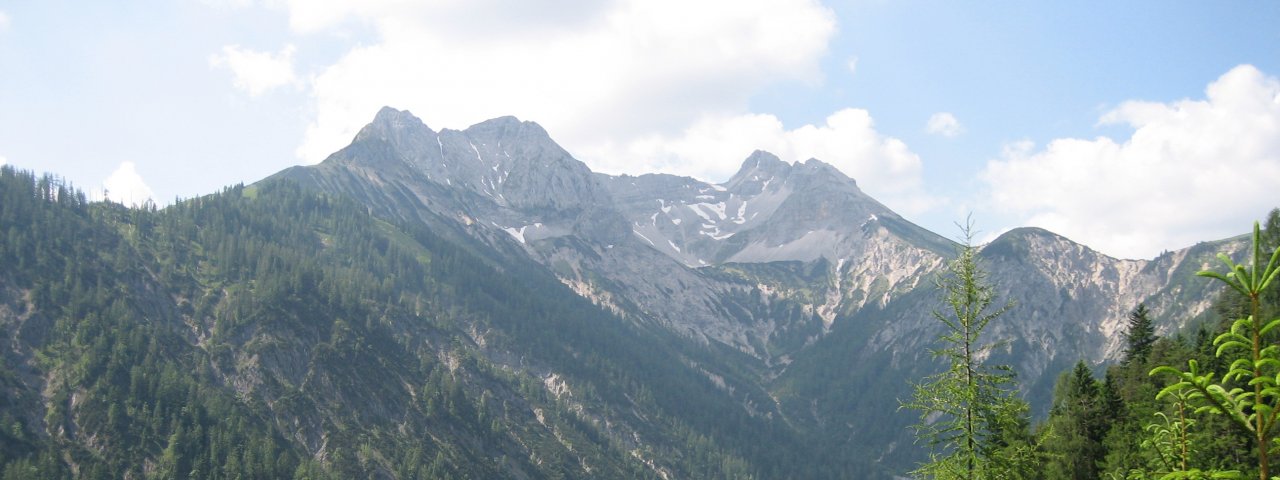
Green meadows, craggy ridges and eye-catching rock formations characterise the landscape taken in by this hike through the foothills of the Karwendel Mountains. The highest mountain en route is the Juchtenkopf (1,826 metres). It may not be a "real" peak, but it certainly offers fine views. The hike begins at the Almgasthaus Pletzachalm (1,040 metres) north-west of Pertisau on the shores of Lake Achensee. The middle section of the trail is somewhat overgrown and difficult to follow in places, so hikers should pay attention.

Mountain Hike
Starting point
Almgasthaus Pletzachalm
Hike to
Pasillsattel, Schleimsattel
Finishing point
Almgasthaus Pletzachalm
Mountain chain
Karwendel Mountains
Length
9.2 km
Total hiking time
5h
Features
- Wheelchair-accessible Hiking Route
- Circular hike
Difficulty rating
intermediate (red mountain trails)
Altitude
Elevation uphill 790m
Vertical metres downhill 790m
Fitness level
Technique
Best time of year
* These are approximate values and recommendations. Please take your personal fitness level, technical ability and the current weather conditions into account. Tirol Werbung cannot guarantee that the information provided is correct and accepts no liability.
Parking
Car park in Gerntal Valley (toll road, north-west of the Almgasthaus Pletzachalm)
Places serving food & drink
- Almgasthaus Pletzachalm (May until October)
- Gasthof Klara, Gasthof Dorfwirt and other locations in Pertisau
Downloads
Trail description
The hike begins with a wonderful view from the Almgasthaus Pletzachalm, a mountain inn located between the Seebergspitze (2,085 metres) and the Mondscheinspitze (2,106 metres). The steep trail, most of which leads through meadows and forests, is well-marked. After two hours of walking you will reach the Pasillsattel ridge at 1,682 metres. From here onwards, the trail (heading west) is more difficult to follow. It takes around half an hour to reach the Juchtenkopf. Head towards the southern ridge of the Hohe Gans mountain (1,950 metres). Hikers can, if they wish, climb this mountain. However, it is not recommended if the ground is wet (slippery grass slopes). We therefore recommend turning left and continuing down through meadows to the Überschüssalm (1,640 metres) and then on to the Schleimsattel ridge (1,556 metres). The final section is then down along a series of switchbacks into the Gerntal Valley before heading to the Pletzachalm hut.
There are no places serving food and drink en route except the huts at the start and end of the hike. We therefore recommend taking plenty of food and water.


