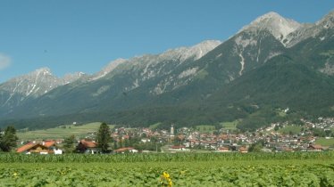
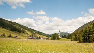
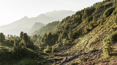
Three countries, two languages, one saint and 180 kilometres of hiking with almost 10,000 vertical metres in 12 stages. That is what awaits walkers taking on the Romedius Pilgrimage Trail, which starts at the Romedikirchl church in Thaur and ends at the San Romedio church of pilgrimage in the Val di Non valley in Italy. The spectacular route requires hikers to have a good overall level of fitness and a head for heights. It leads through the region of North Tirol (Austria) as well as Alto Adige and Trentino (Italy), passing high ridges and steep valleys. Hikers will be accompanied by the spirit of Saint Romedius, who - legend has it - rode on the back of a bear. Hikers would be well advised to rely on their own two legs instead, not forgetting the equipment required on such a long hike. In this case, that also includes a valid passport! On north-facing slopes there may still be patches of snow into May, so the best time to hike the Romedius Pilgrimage Trail is between June and October. The huts in the mountains are also open during this period. The highest point is the Schneebergscharte ridge (2,700m) between the Ridnauntal and Passeiertal valleys.
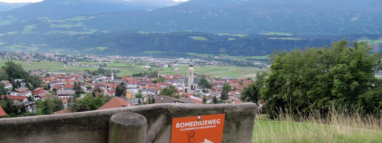
Starting point
Romedikirchl, Thaur
Finishing point
Wallfahrtskirche San Romedio, Trentino
Mountain chain
Stubai Alps
Tux Alps
Length
180 km
Duration
12 day(s)
Features
- Wheelchair-accessible Hiking Route
- Circular hike
Difficulty rating
intermediate (red mountain trails)
Altitude
Elevation uphill 9,890m
Vertical metres downhill 9,975m
Fitness level
Technique
Best time of year
* These are approximate values and recommendations. Please take your personal fitness level, technical ability and the current weather conditions into account. Tirol Werbung cannot guarantee that the information provided is correct and accepts no liability.
Public transport
- Accessible using public transport
Bus route 503, get off at stop Thaur Mitte
Downloads
Trail description
Stage 1: Thaur – Mieders
Vertical metres (ascent/descent): 700m/540m, walking time: 7 hours, walking distance: 22km
From the Romedikirchl church in Thaur (790m altitude), take the "Romedius Weg" path to Rum and as far as the "Sillschlucht" and the point where the Sill river meets the Inn. Then continue along the "Seberiny Steig" towards Vill-Unterberg. Follow the forest trail above the Gasthof Stefansbrücke towards Schönberg – Mieders (old Roman road). Finally, take the "Stollensteig" trail for around an hour, then continue along the "Quo Vadis Pilgerweg" into the centre of Mieders.
Stage 2: Mieders – Maria Waldrast – Trins
Vertical metres (ascent/descent): 800m/550m, walking time: 6.5 hours, walking distance: 15.7km
From the centre of Mieders head uphill along the "Quo Vadis Pilgerweg" (also known as the "Kapellenweg") and after around 2.5 hours you will reach the Maria Waldrast place of pilgrimage (1,638m altitude). Head down into the valley along the toboggan run then, after a short section of tarmac road, take the "Trinsersteig" to the Antoniuskapelle chapel. After a short uphill section, turn left and take a forest trail to the "Pflutsch Wiesen" meadows and then on into the centre of Trins.
Stage 3: Trins – Obernberg
Vertical metres (ascent/descent) 980m/840m, walking time: 5.5 hours, walking distance: 10.3km
From Trins, head down to the bridge over the Gschnitztalbach river, then turn left around 100 metres after the "Liftstüberl" hut. Follow the signs to the Trunahütte (1,723m altitude), which you will reach after around 1.5 hours. From the hut, take trail number 125 up to the Trunajoch ridge (2,152m altitude). Walk past the Lichtsee lake, along trail number 125 downhill to Obernberg (1,400m altitude). An easier alternative is to take trail number 99 from the Lichtsee lake via the Kastenbergalm hut to Obernberg.
Stage 4: Obernberg – Innerpflersch (St. Anton)
Vertical metres (ascent/descent): 850m/1100m, walking time: 7 hours, distance: 17km
Take path number 95 to the Gasthof Waldesruh, then follow the wide trail to the Unterreinsalm hut and on to the Obernbergersee lake. Trail 93 then leads up onto the Portjoch ridge (2,110m altitude). After crossing over the border from Austria into Italy, head right for a short distance before turning left onto a former military trail (number 32) heading down into the Pflerschtal Valley. A short section along a cycle path leads to the hamlet of Ast. Finally, take the path to the small village of Innerpflersch (1,246m altitude).
Alternative route over the Sandjoch ridge: This alternative is recommended in poor weather and for inexperienced hikers. At the Obernbergersee lake, next to the small "Seekirchl" chapel, turn left up onto the mountain and continue along path 97 to the Sandjoch ridge (2,165m altitude). After crossing over from Austria into Italy, take path 1 towards Gossensass and through the hamlet of Astwieder onto the Romediusweg trail.
For more information and GPS tracks for the remaining stages in Alto Adige and Trentino click here: www.romedius-pilgerweg.at

