Attractions
The most beautiful mountains in Tyrol
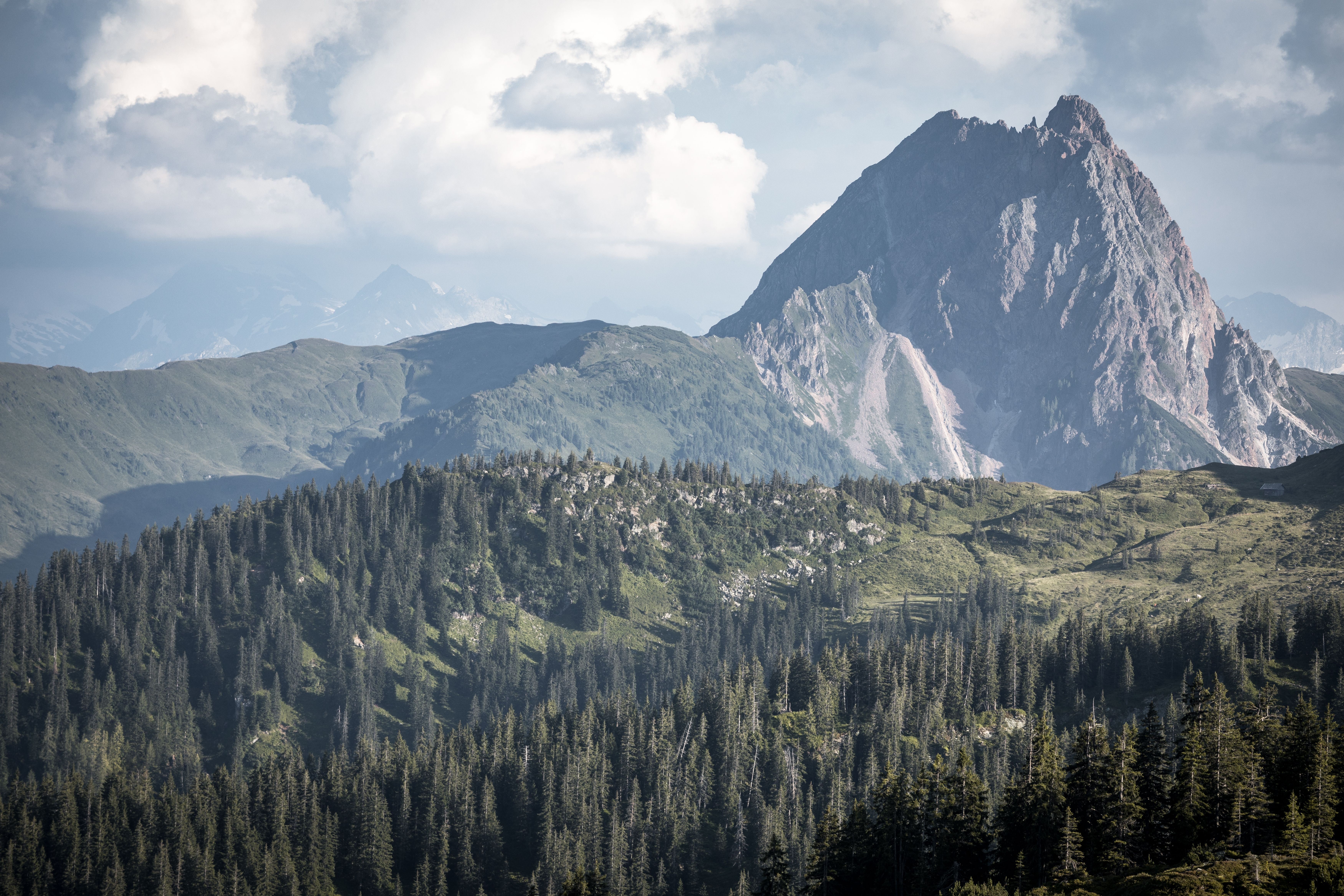
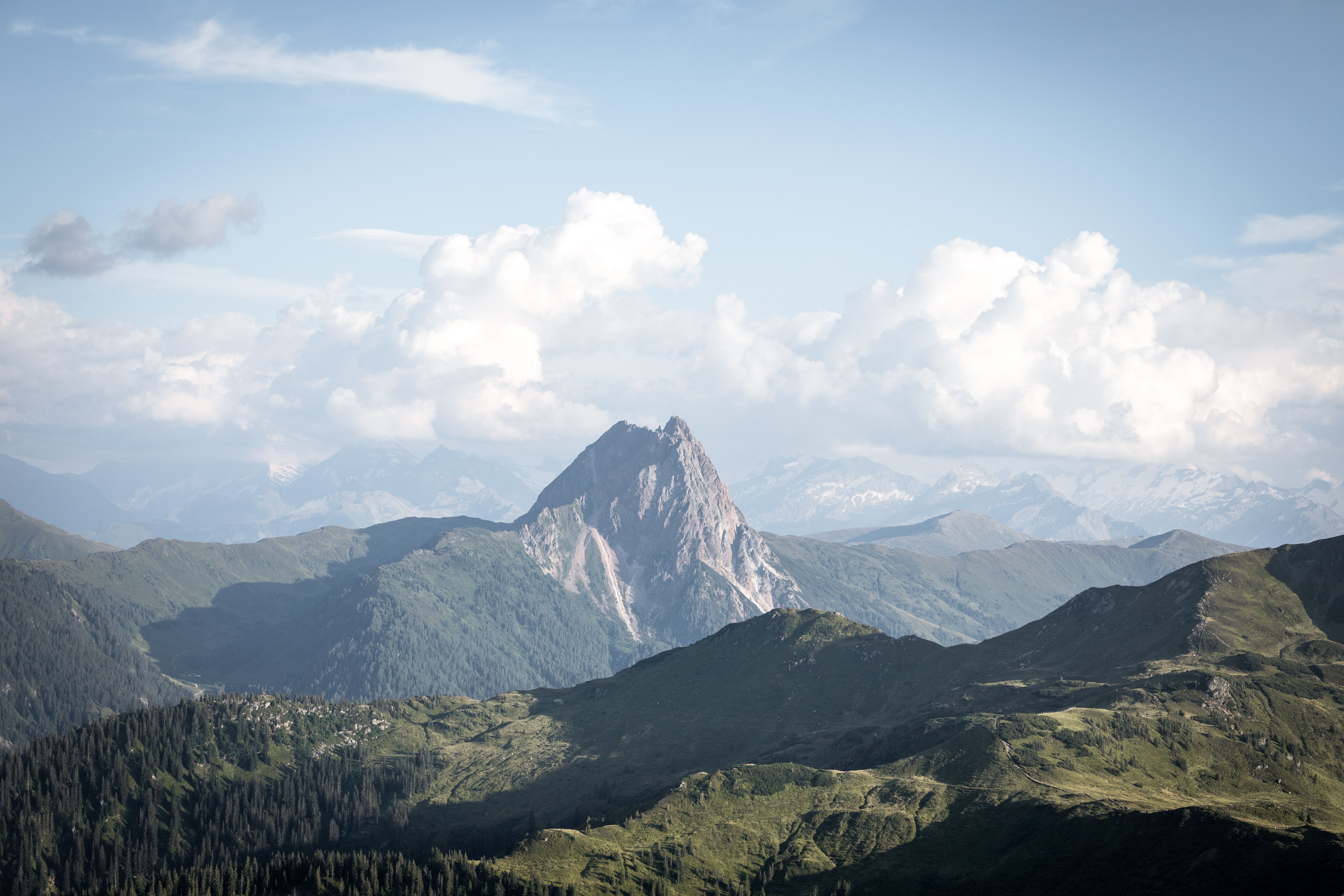
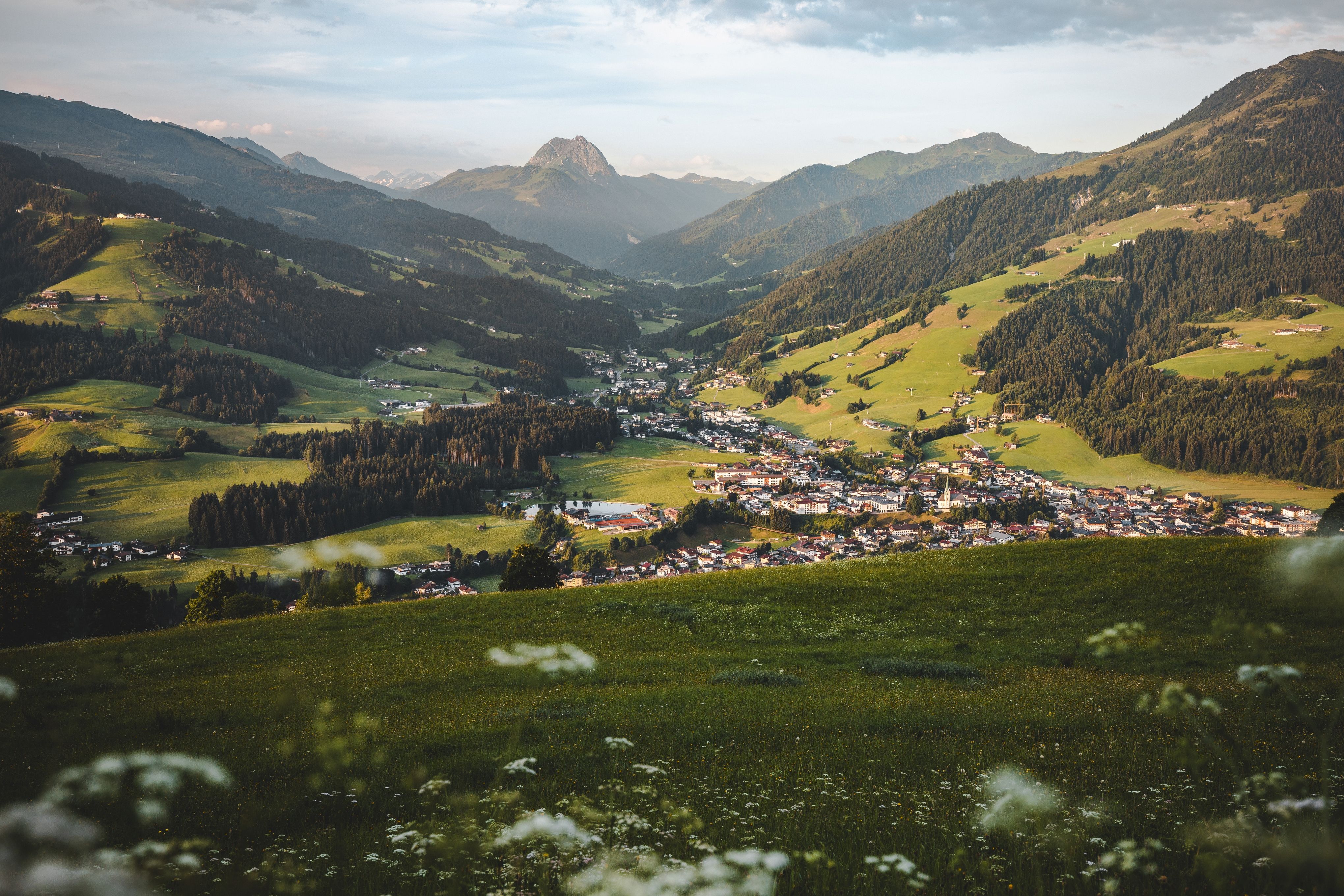
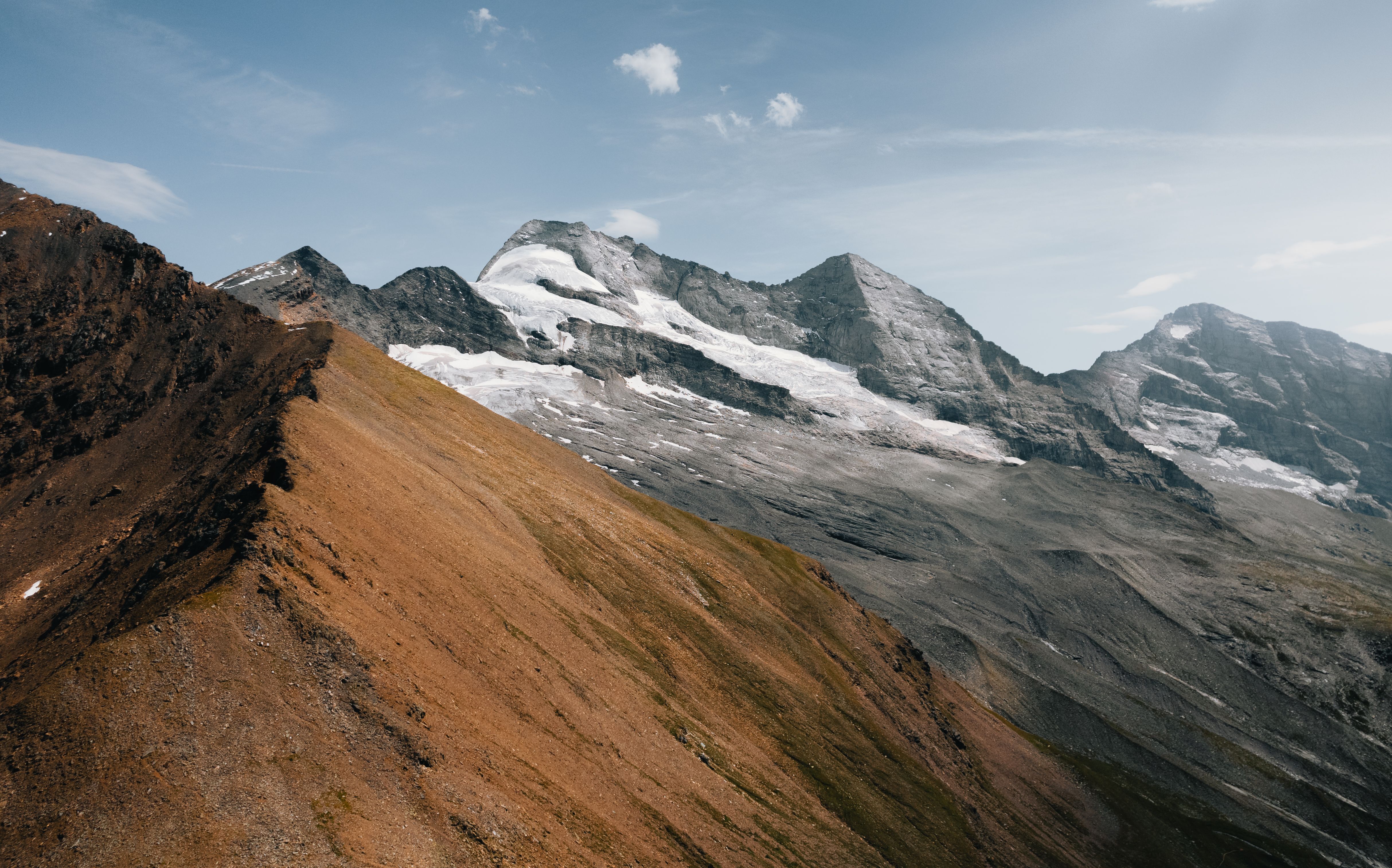
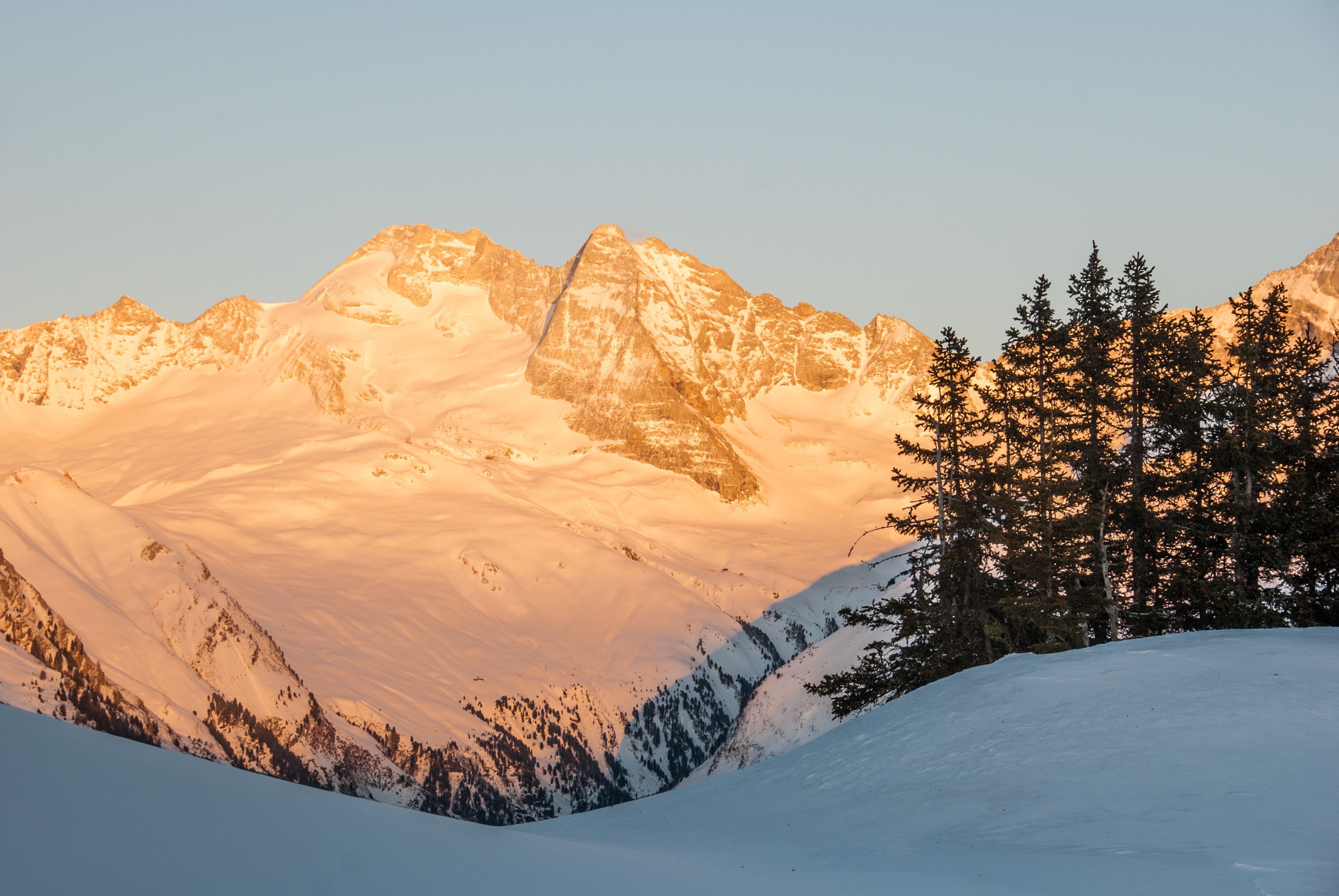
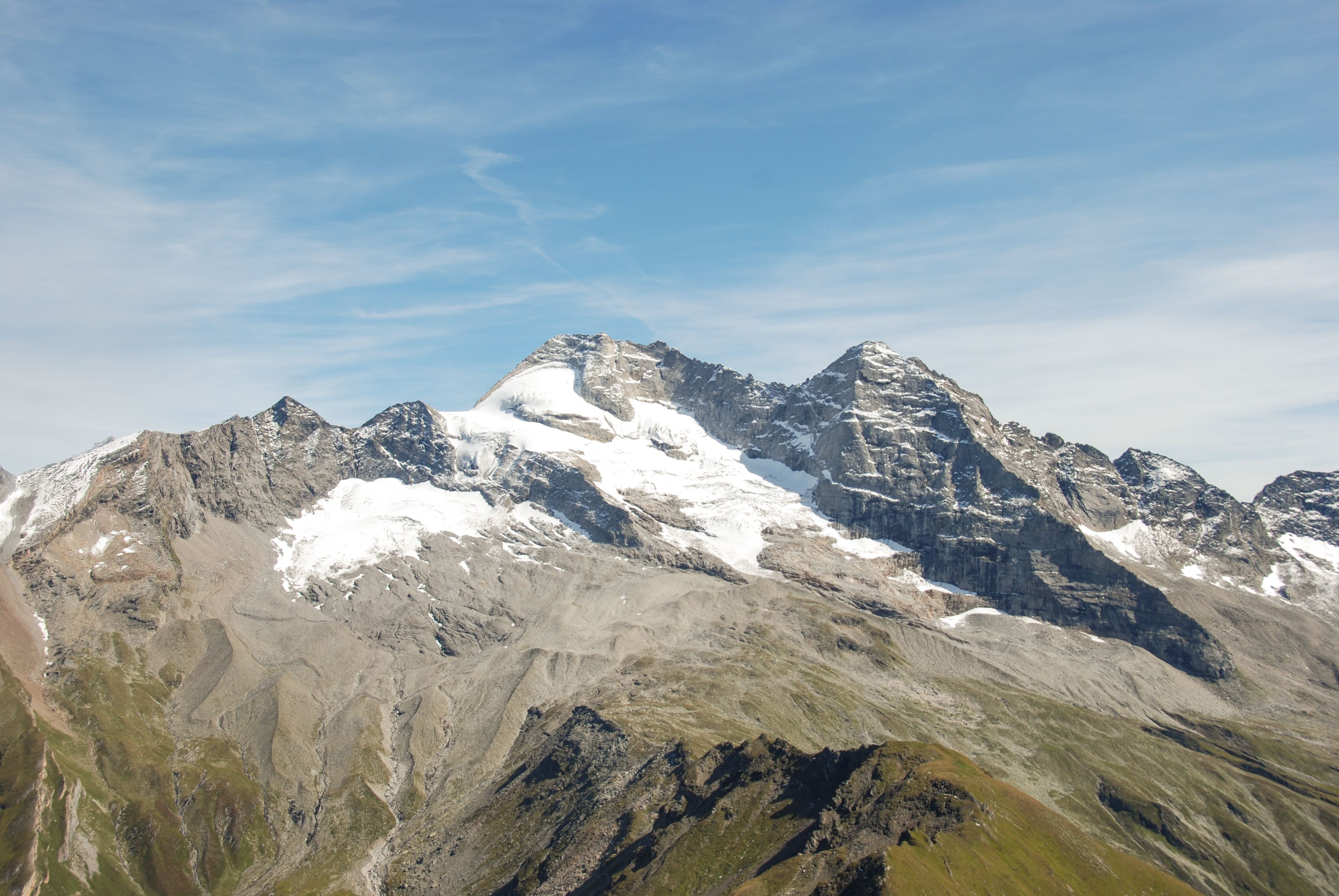
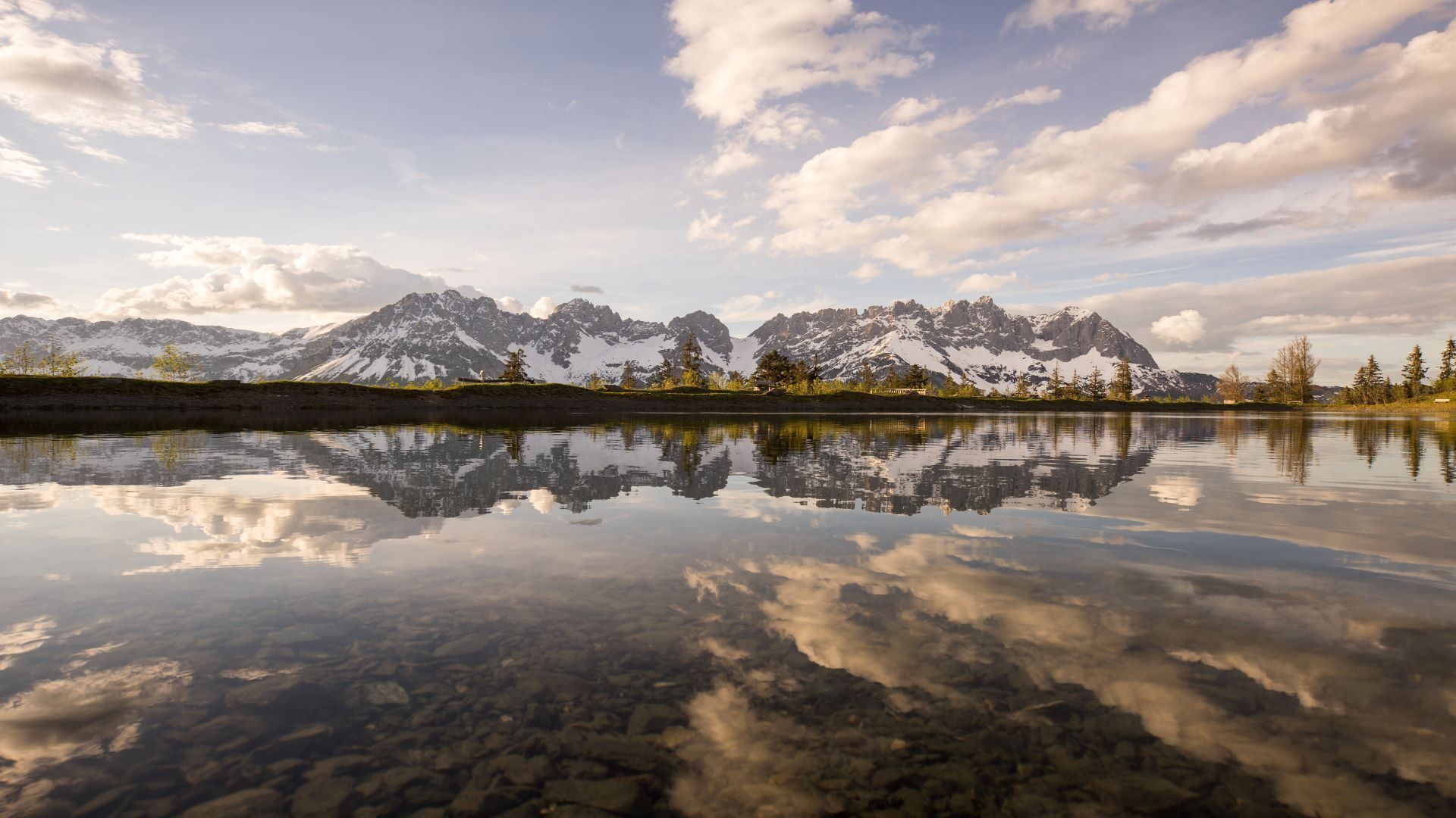
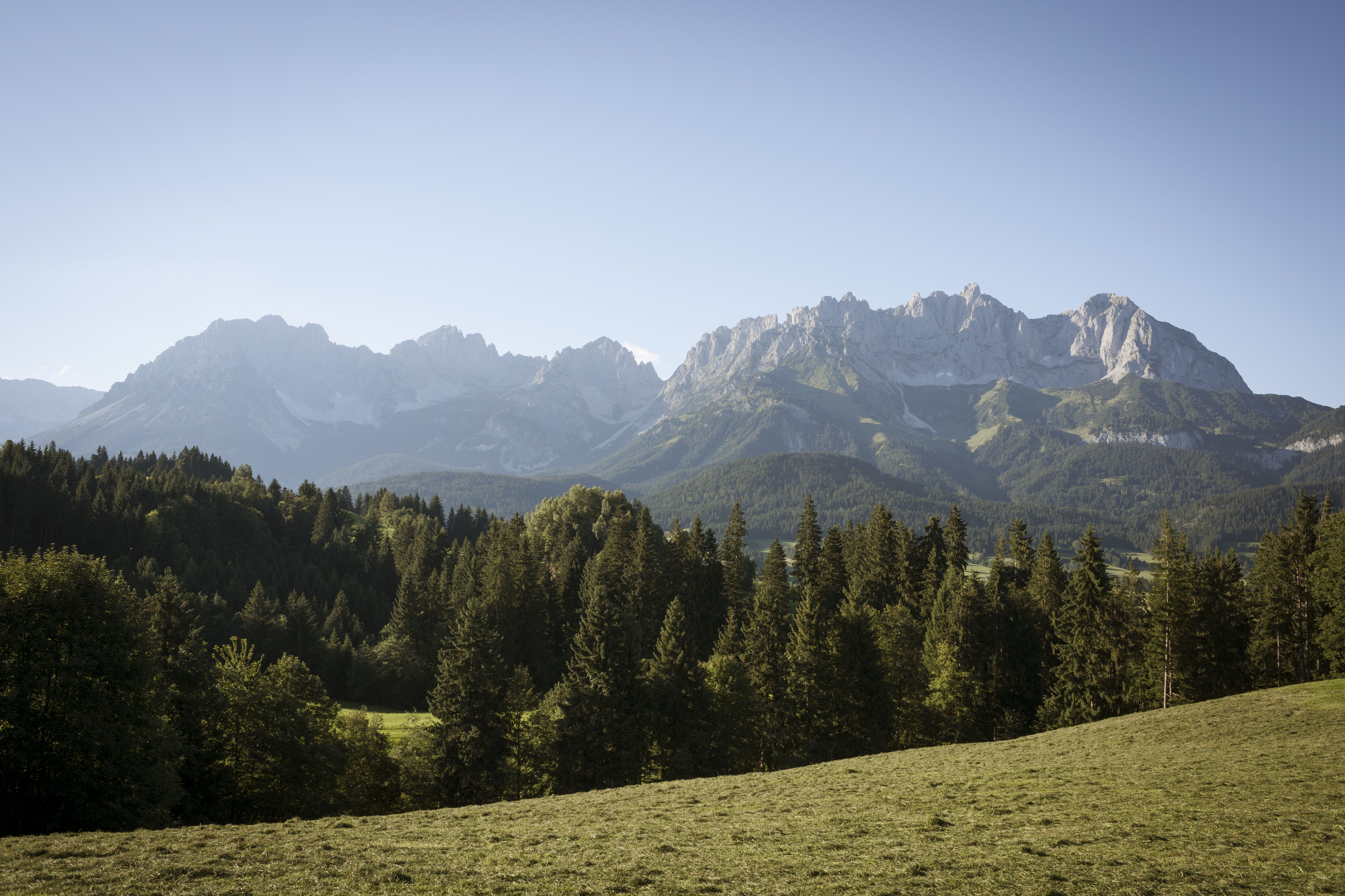
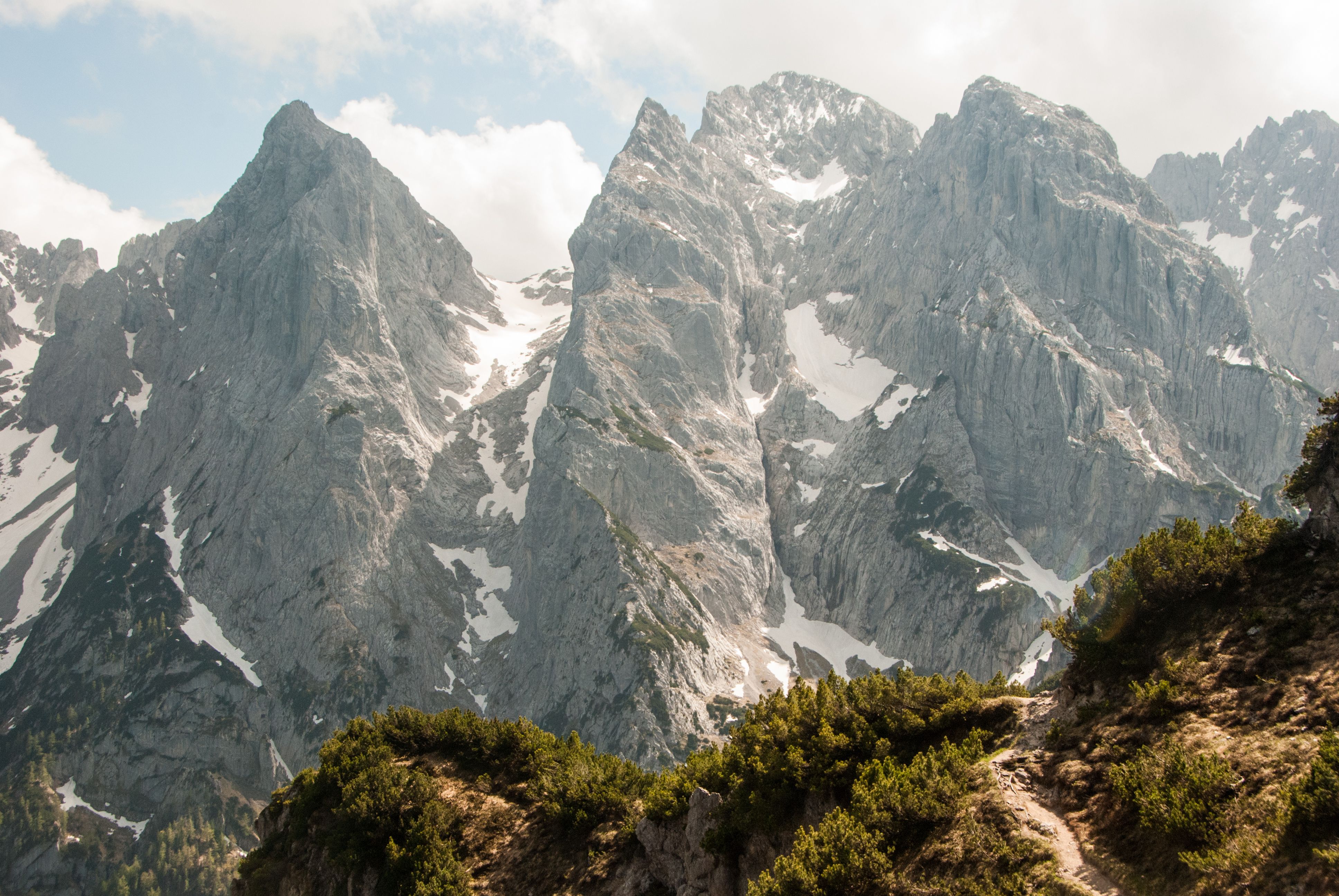
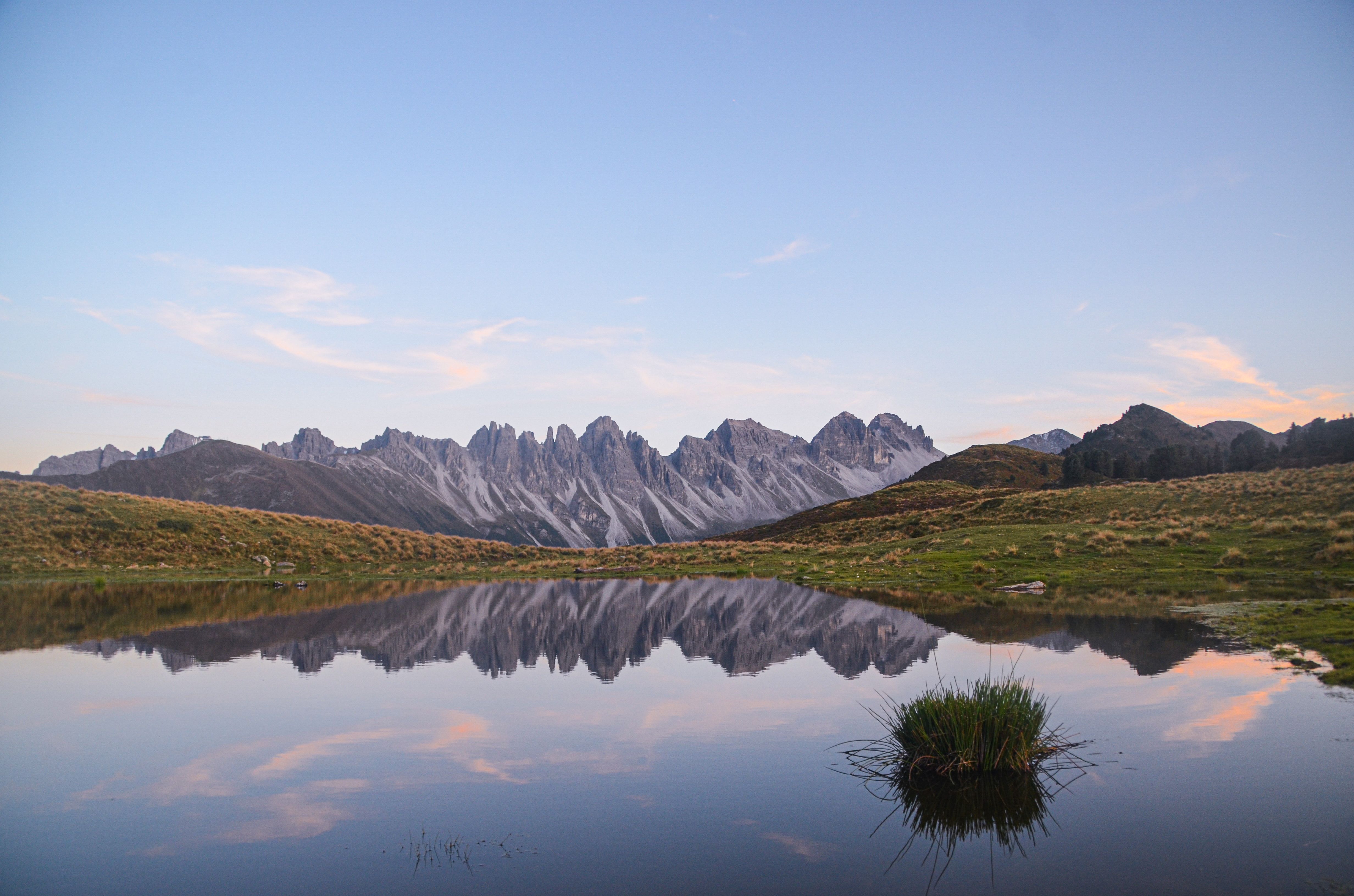
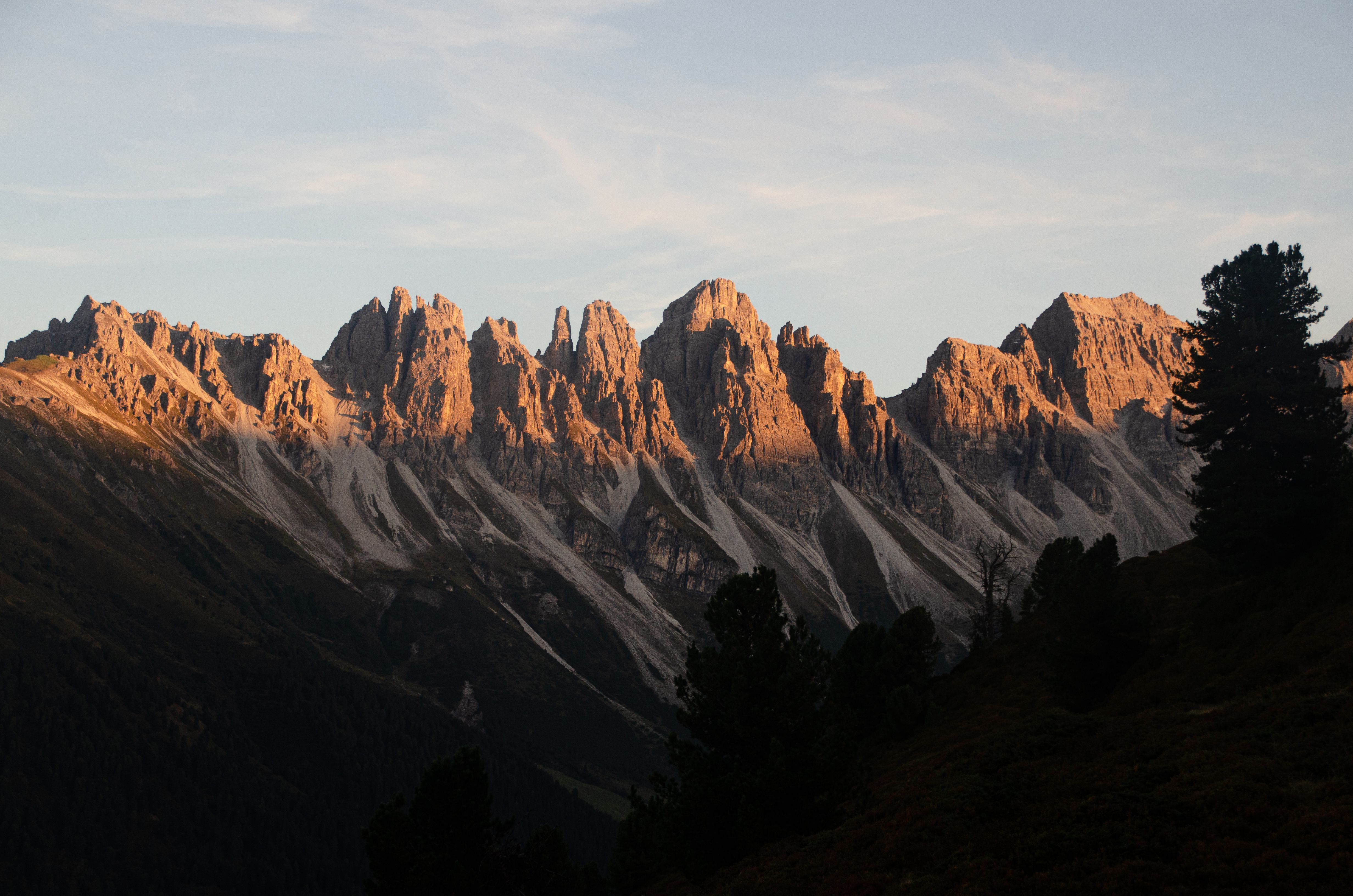
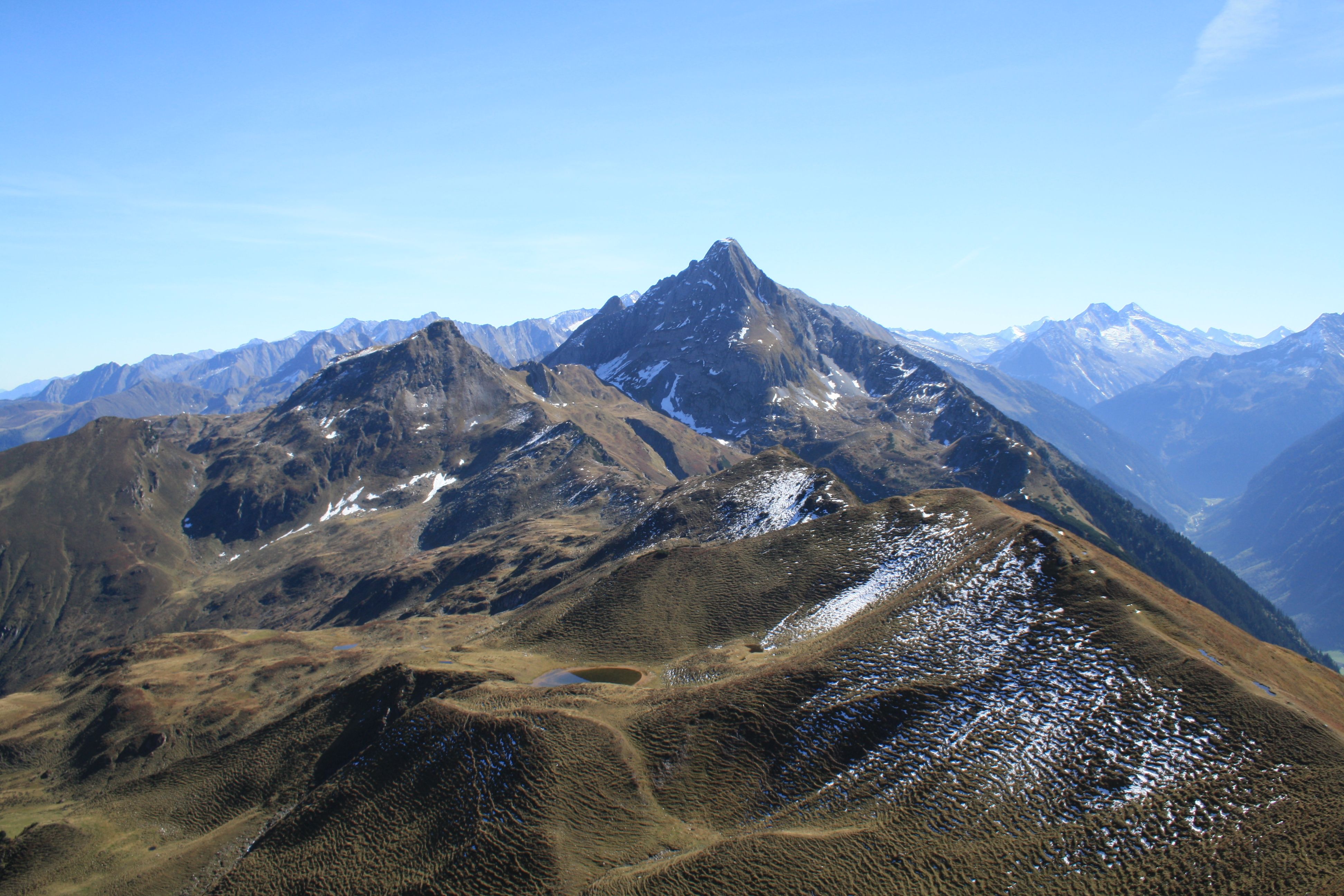
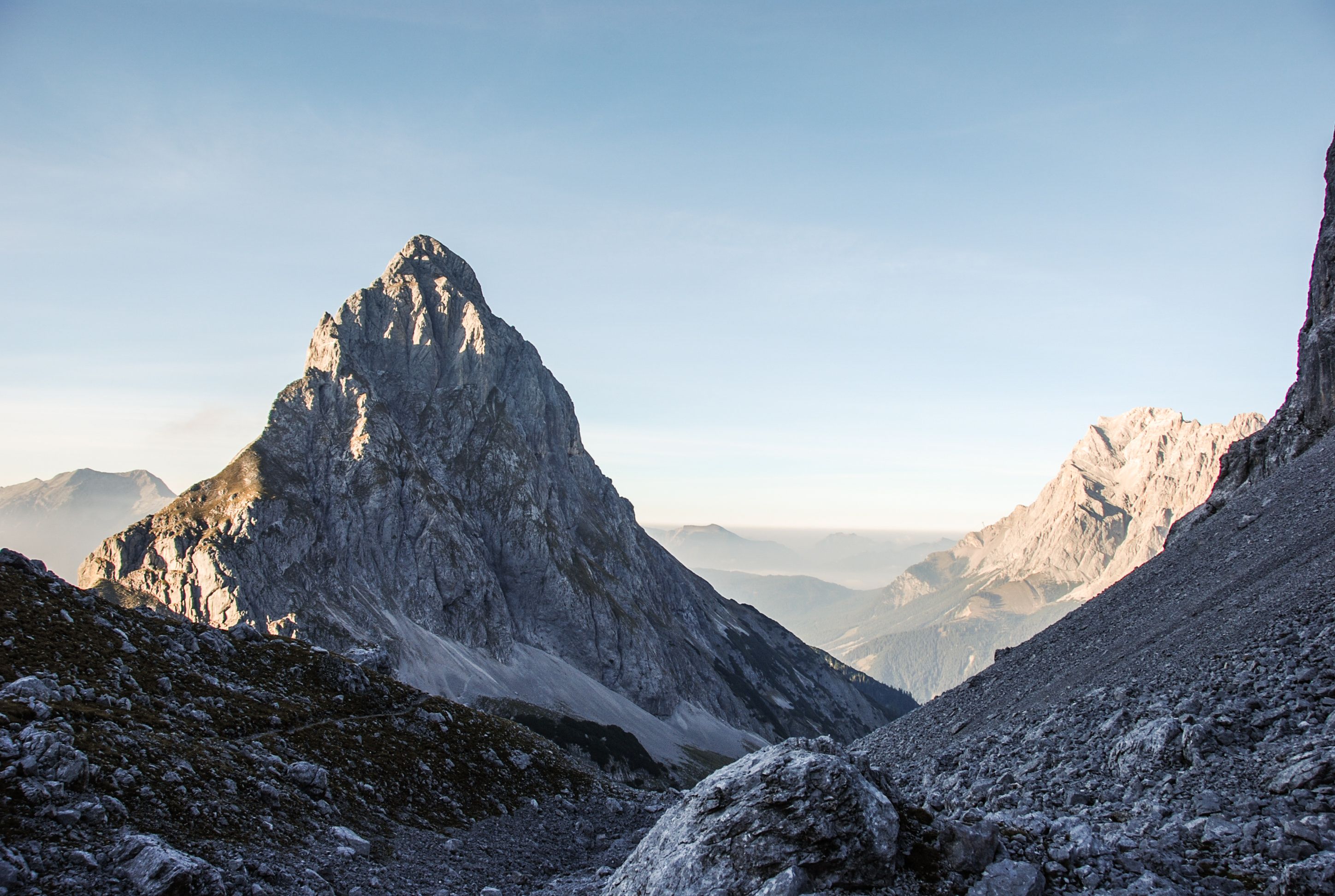
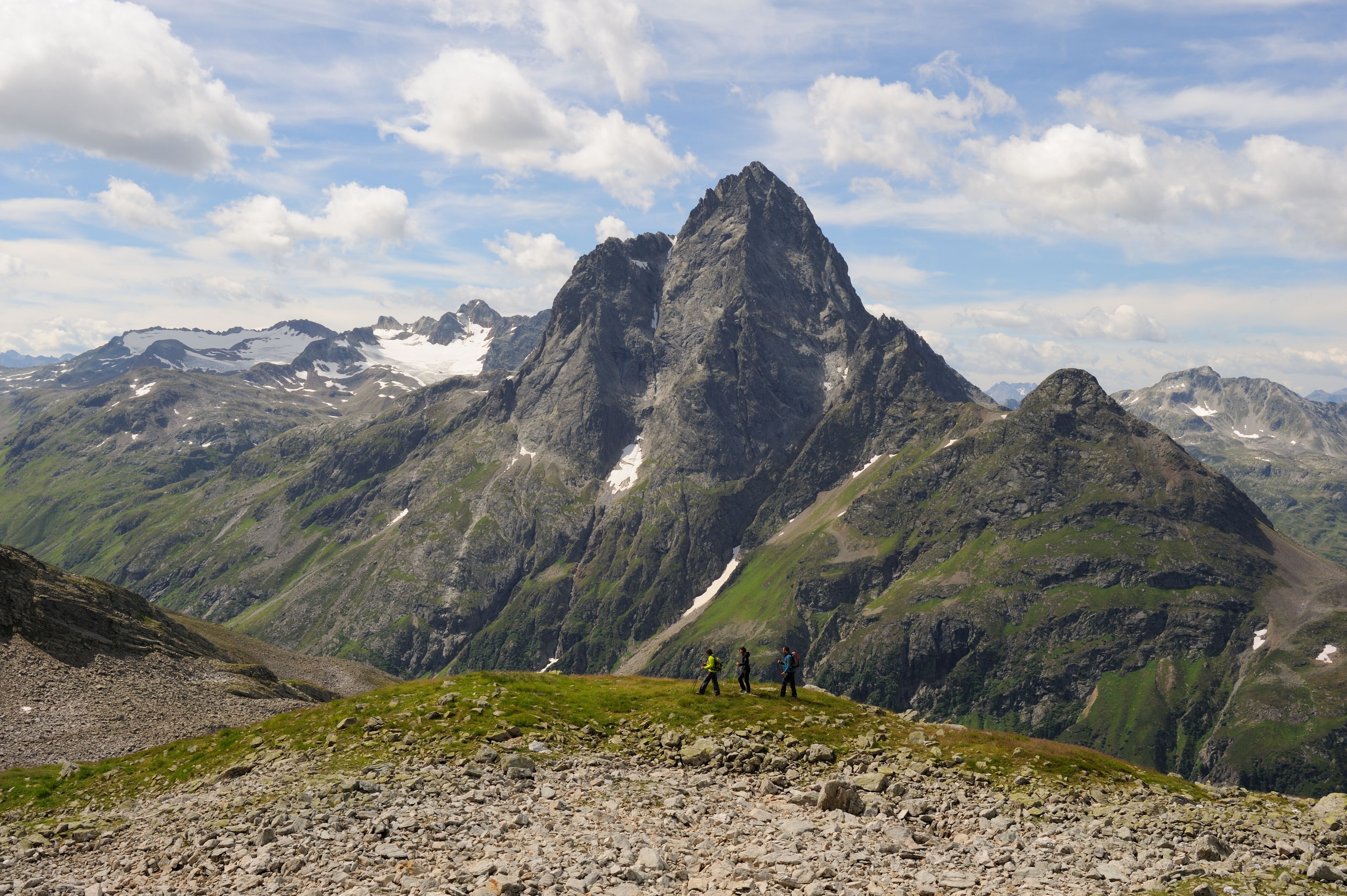
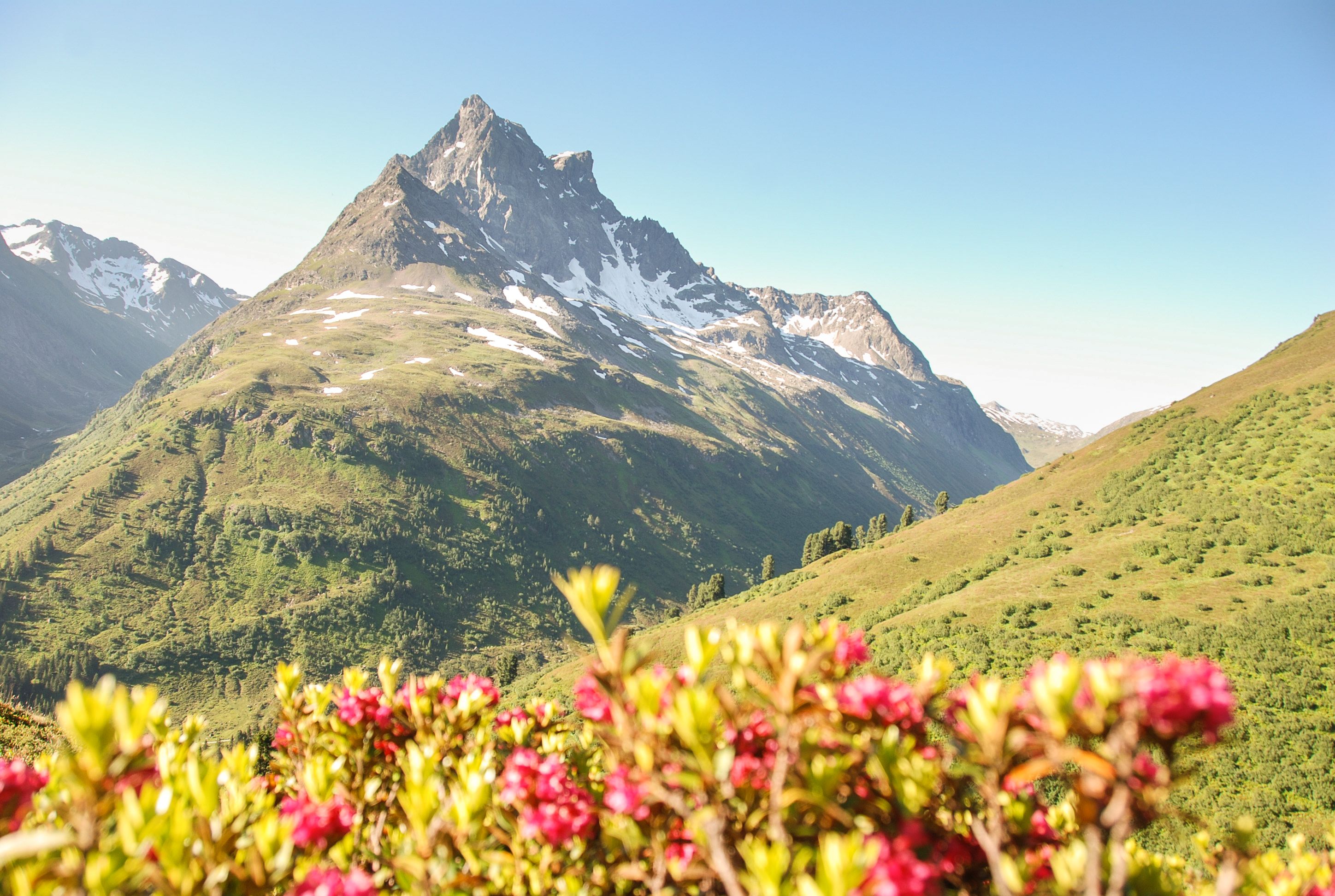
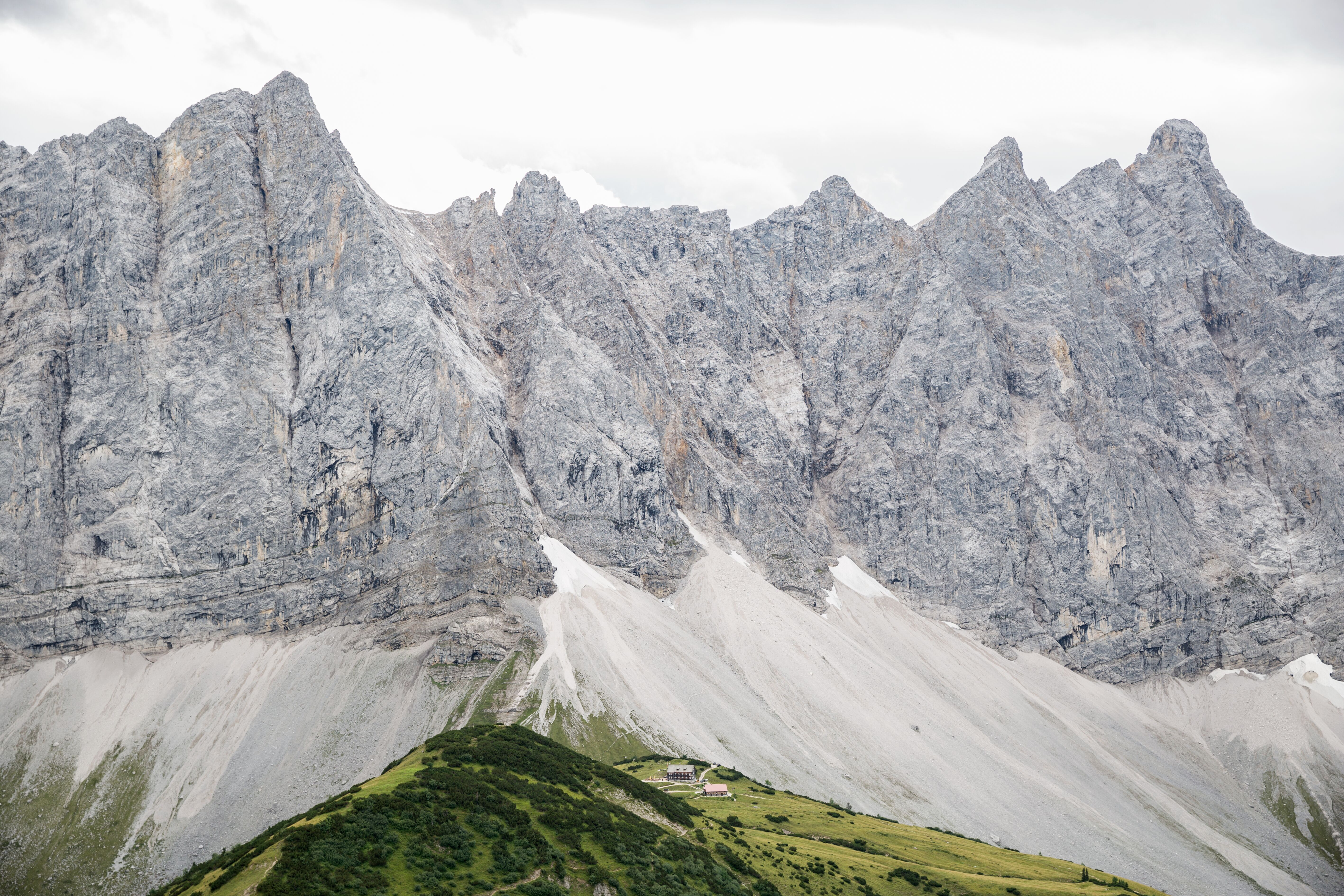
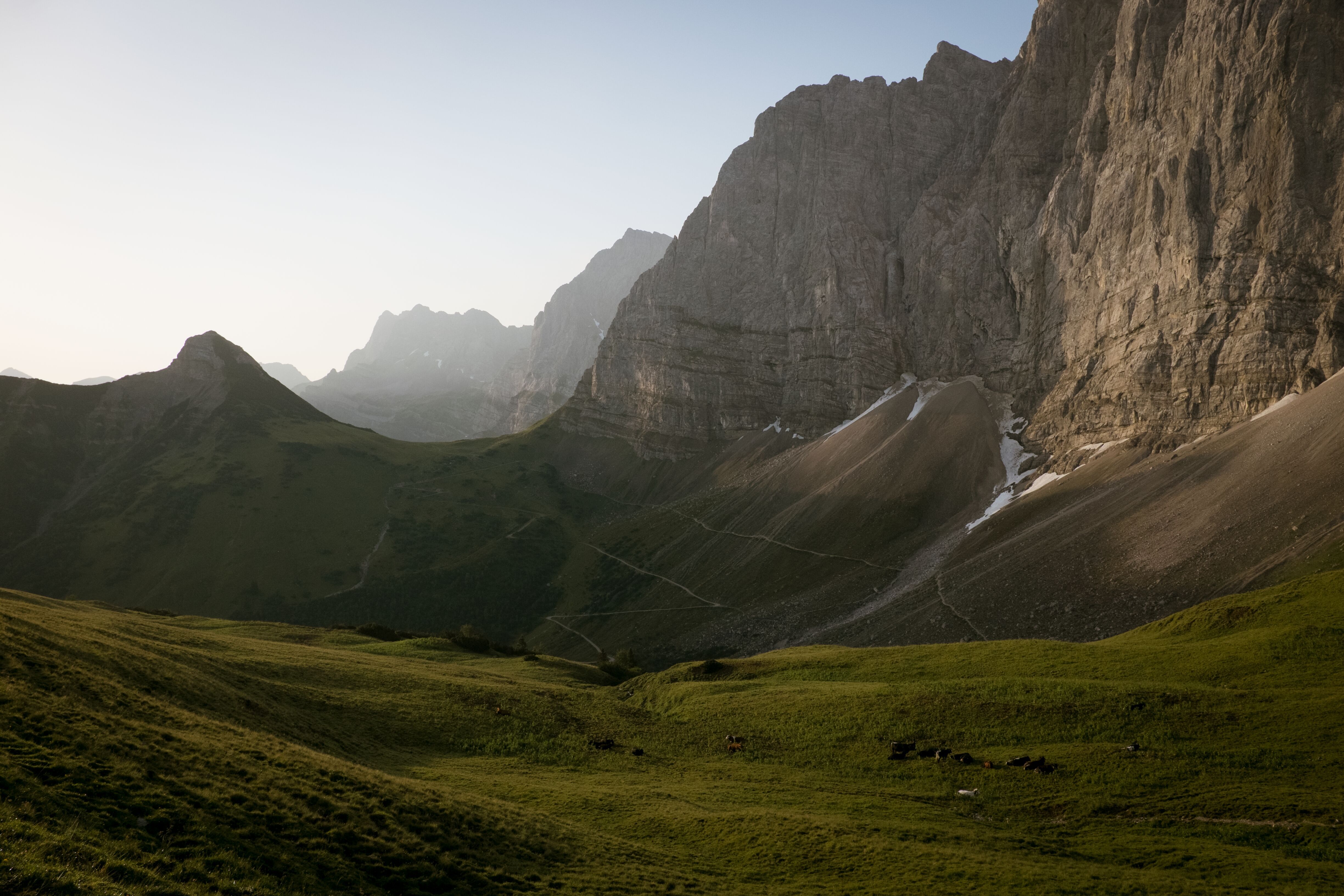
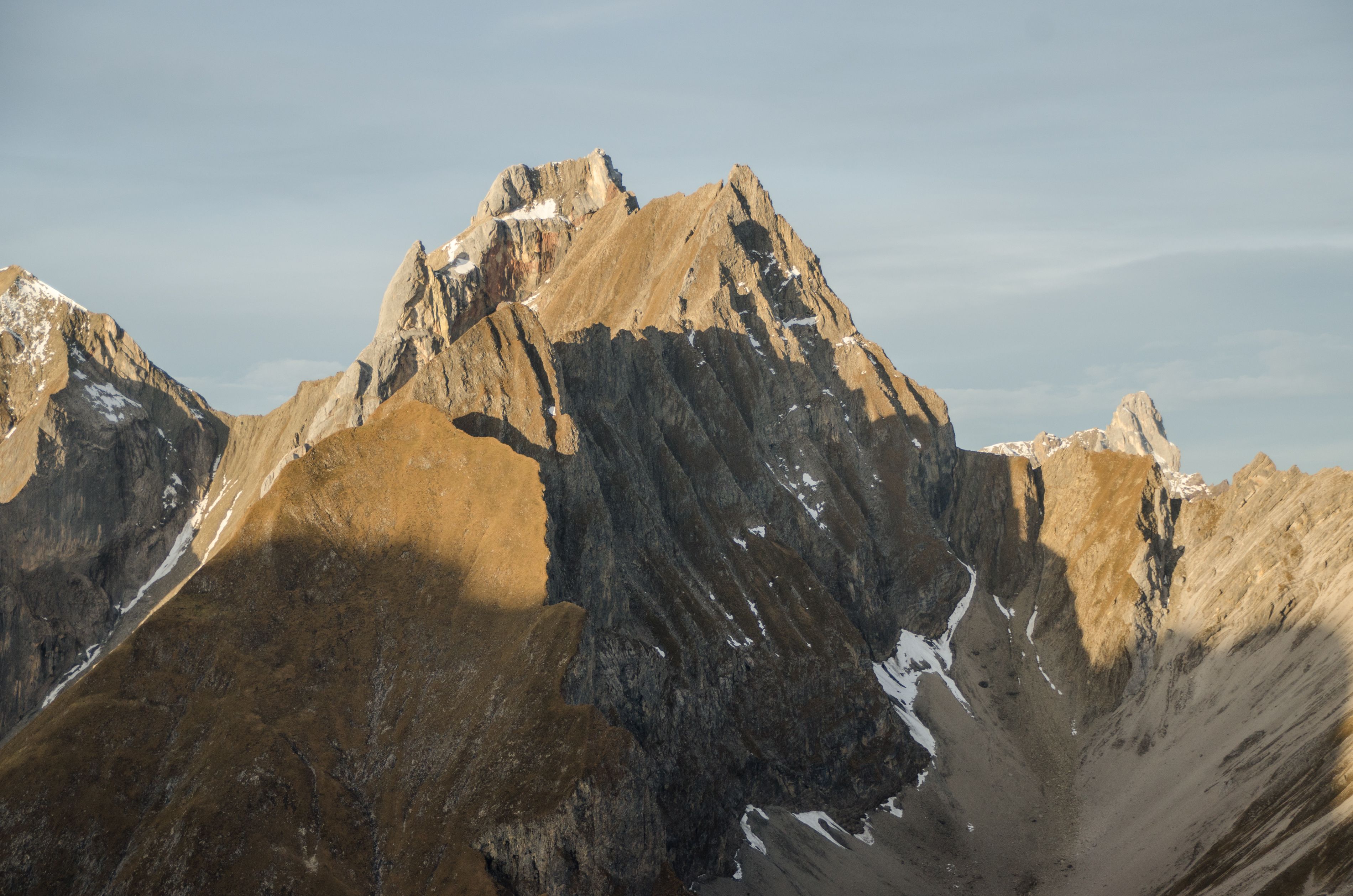
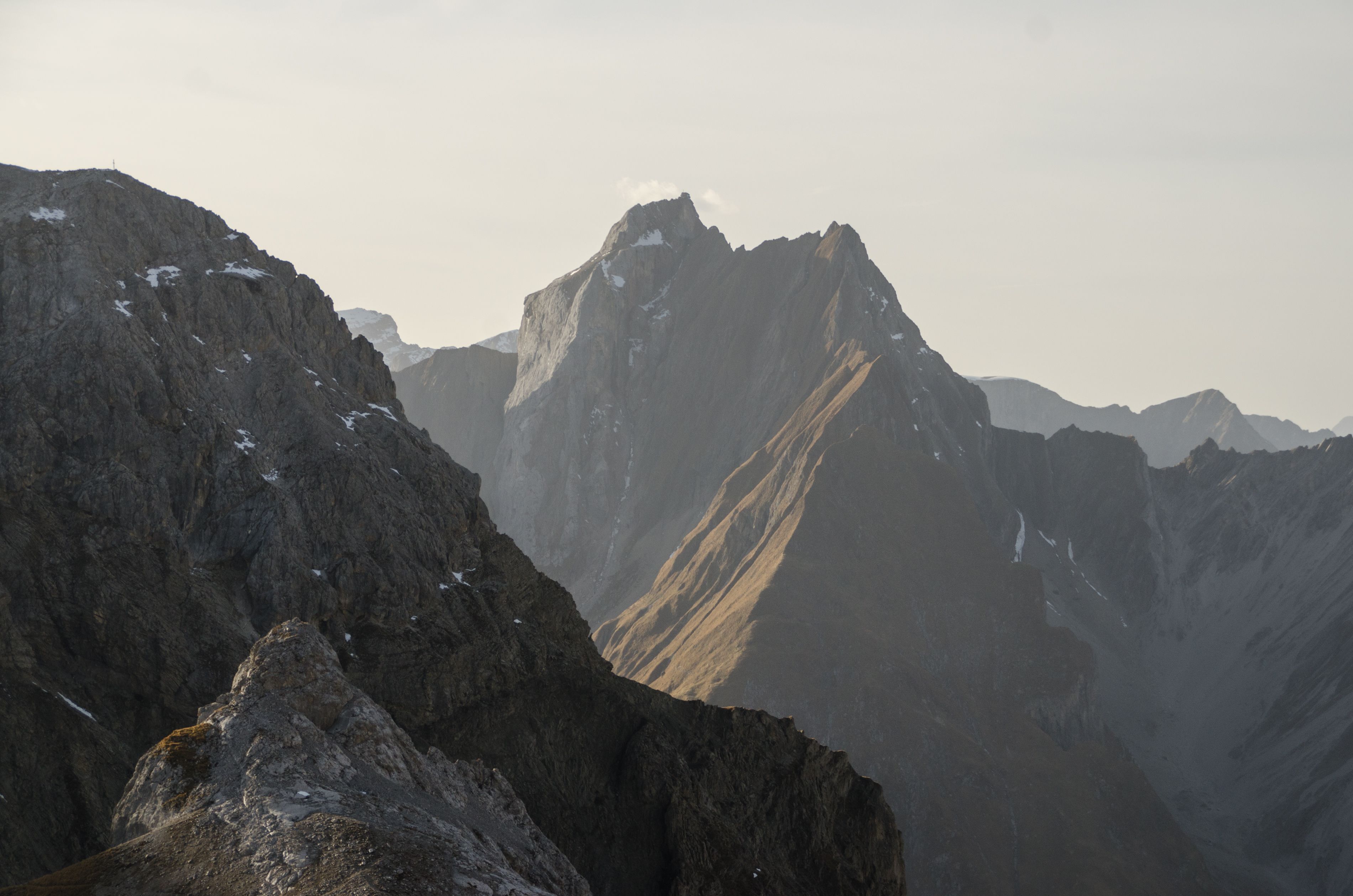
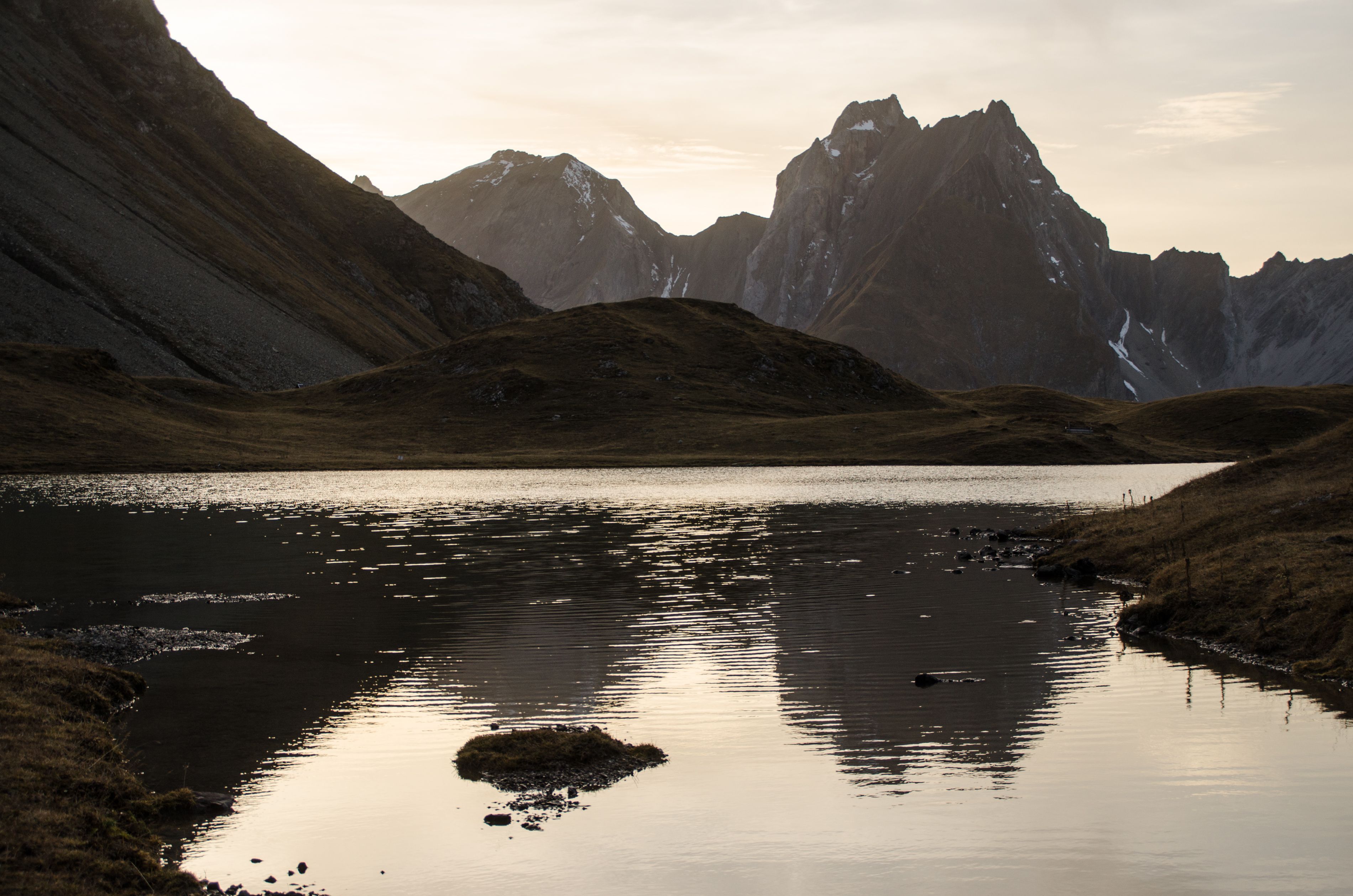
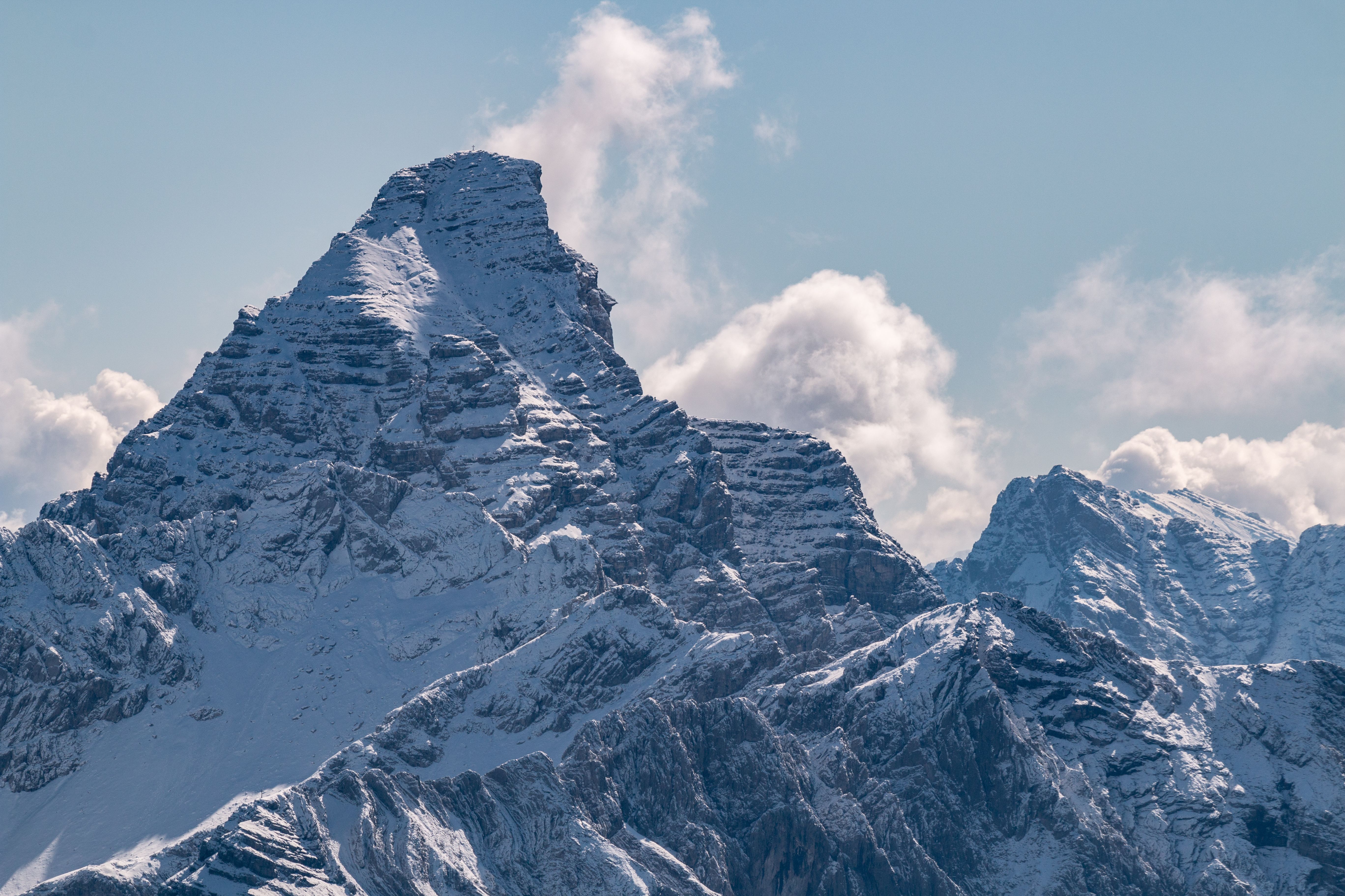
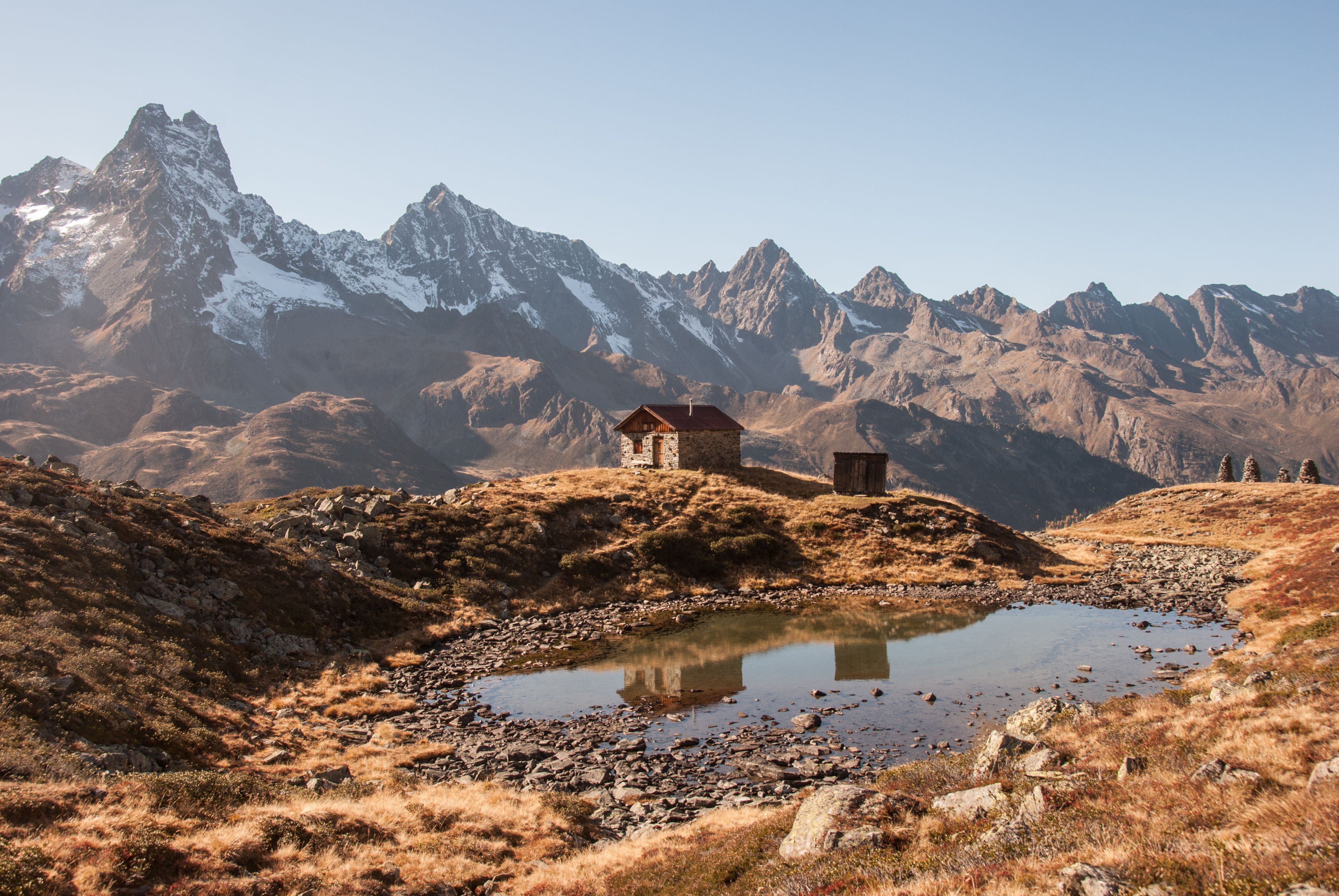
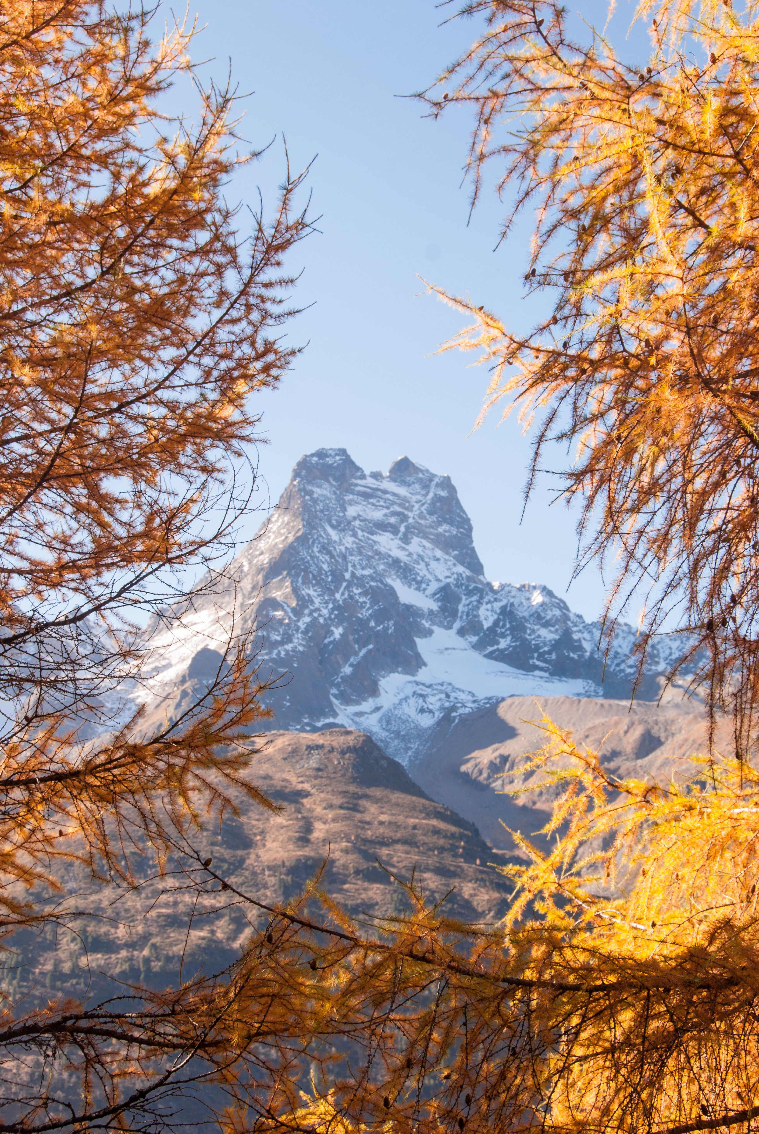
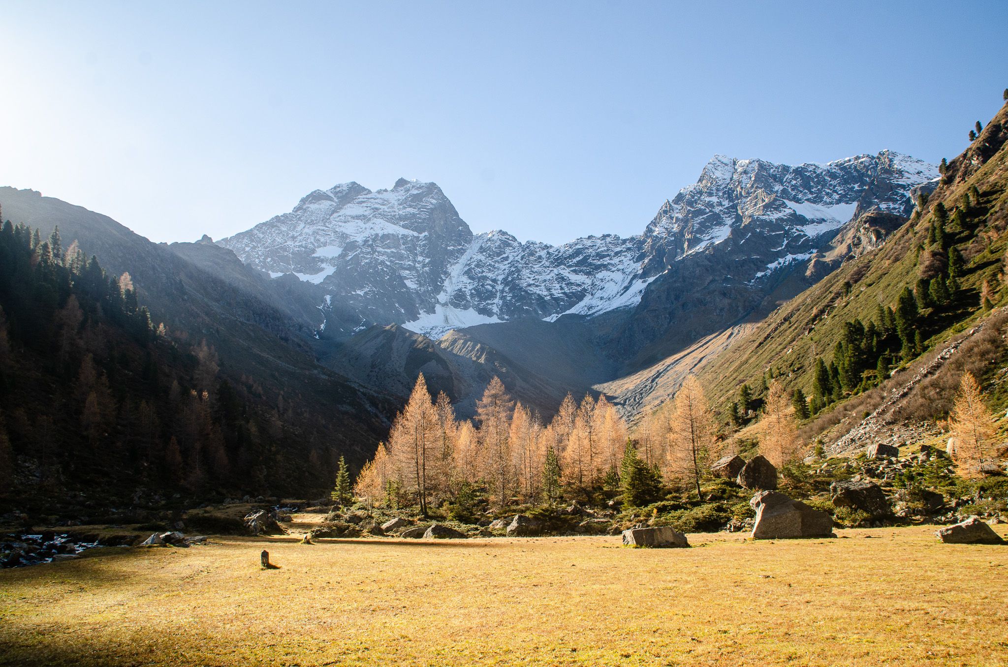
Mountains - the stars of our landscape. They always make a good picture in Tirol. Sometimes this picture is gentle, green, grassy and wooded. Elsewhere rocky, barren, pointed and steep. Elsewhere it is characterised by glacial ice and year-round white. The list includes our candidates for the most beautiful mountain in the Tyrolean Alps. The Tyrolean version of Next Top Model, so to speak. Who do you think should be Tyrol's Next Top Mountain?


")


_FULL12.jpg")


")


")


.JPG")


