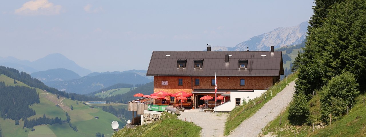
The Alpenrosenhütte is a hut at 1,555 metres above sea level above the village of Westendorf in the Kitzbühel Alps. It is popular with skiers in winter and hikers in summer.
Modern hut in skiing and hiking area
German Alpine Club, Schorndorf Division
In summer the hut gives direct access to the hiking trails in the Kitzbüheler Alps, while in winter it lies at the heart of the Wilder Kaiser-Brixental ski resort. The Alpenrosenhütte on the western slopes of the Nachtsöllberg mountain is the ideal starting point for walks and hikes of all difficuly levels. Renovated and reopened in 2016, the hut has two-bed and four-bed rooms as well as a large dormitory area with matresses. Hearty food is served on the large, sunny terrace with fine views looking west. The hut is also ideal for families, who will find plenty of easy walks in the surrounding area. Kids will also love the Alpinolino Adventure Park on the Nachtsöllberg mountain. Wireless internet and mobile phone reception are available.
How to get to the hut
From the middle station of the Choralmbahn cable car (Maierhof car park): 1 hour
From the middle station of the Alpenrosenbahn cable car: 45 minutes
Walks and hikes in the area
Guggenkögele/Nachtsöllberg (1,886 metres) with Alpinolino Adventure Park, 1.5 hours, easy
Gampenkogel (1,957 metres), 2 hours, intermediate
Fleiding (1,892 metres), 1,5 hours., easy
Floch (2,057 metres), 4.5 hours, intermediate
Gaisberg (1,770 metres), 3.5 hours, intermediate
Other huts in the area
Brechhornhaus, 1.5 hours
Sonnleitnerhütte, 2 hours
Oberlandhütte, 4.5 hours
Modern hut in skiing and hiking area German Alpine Club, Schorndorf Division In summer the hut gives direct access to the hiking trails in the…


