

Opening hours:Open today
Place:Leutasch
:Restaurant
Easy barrier-free cross-country ski trail in Leutasch.
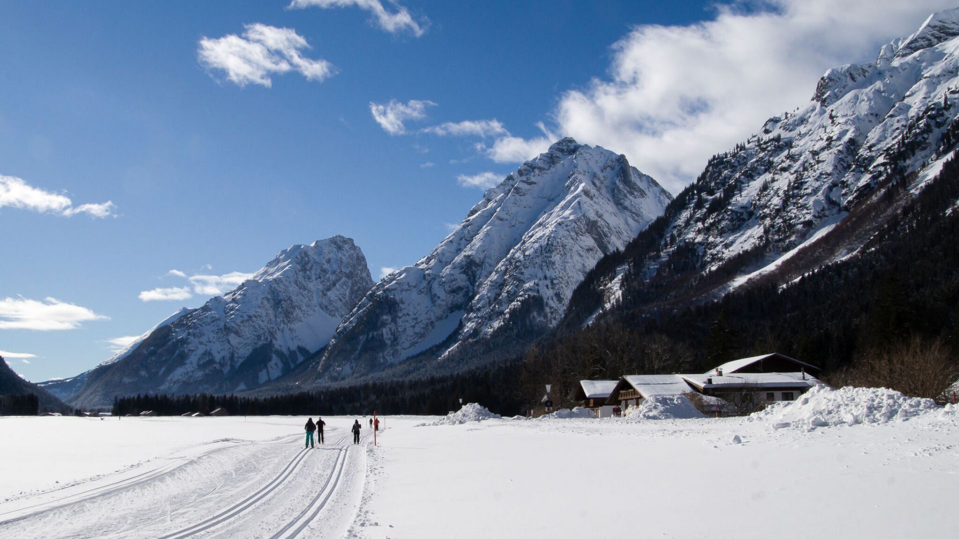
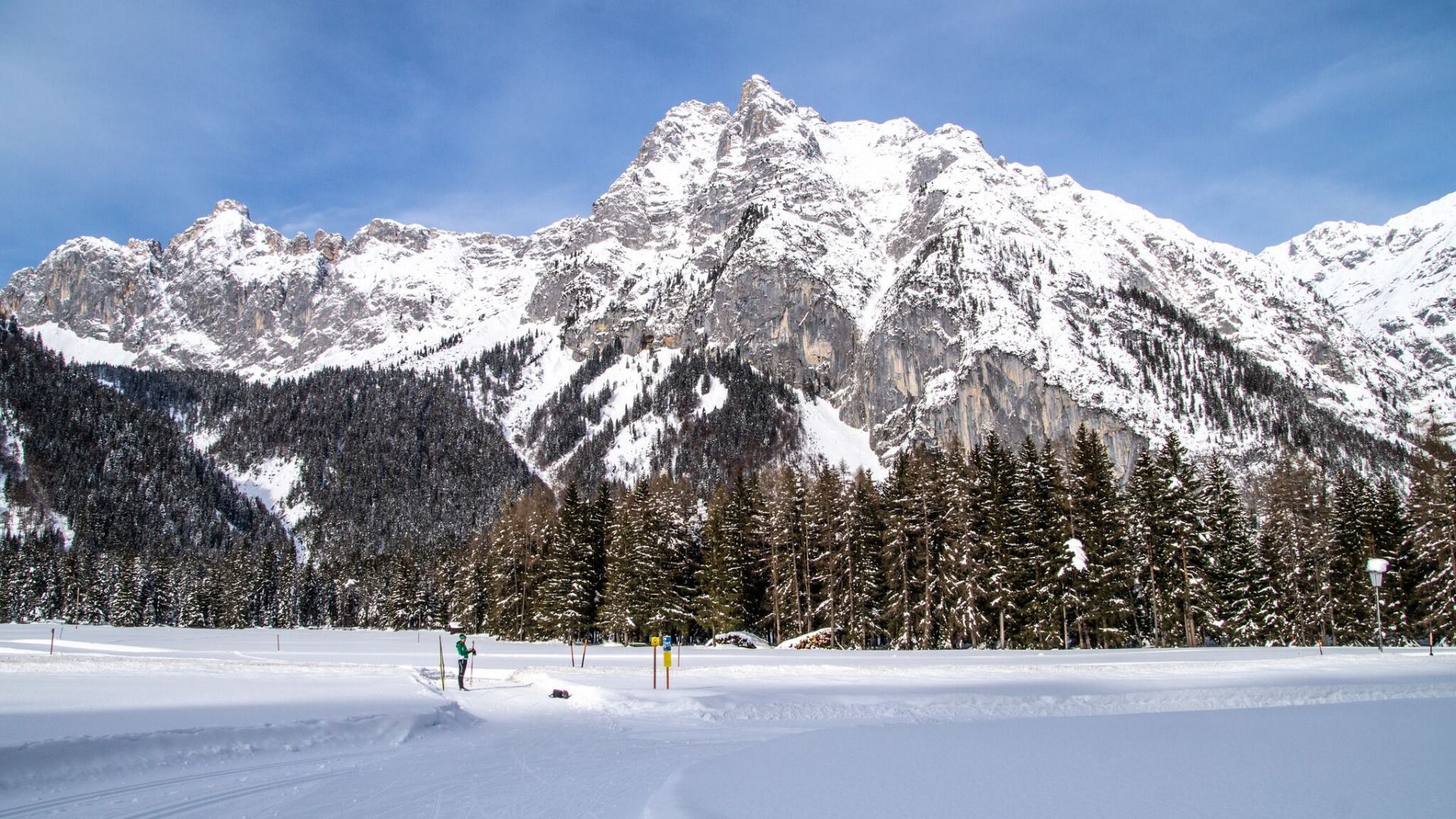

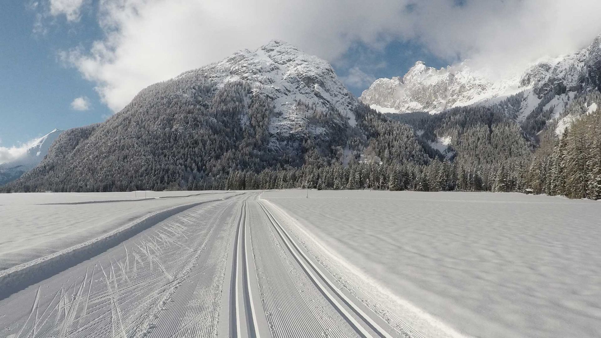

The accessible section is part of the A9 Unterleutasch cross-country ski trail. The loop starts and ends at the P13 Puitbach/Ahrn car park.
This trail
is freshly groomed every day. Nevertheless, icy and slippery sections may
occur.
Trail
access:
At the Puitbach/Ahrn car park in the Puitbach district.
Trail
characteristics:
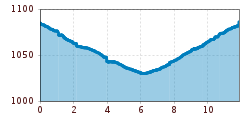
Heading downhill, partly along the river, and crossing several bridges at the
foot of the distinctive Arnspitze and Arnplattenspitze
mountains, the trail descends gently to Burggraben. At the Gasthof Mühle, the trail turns around and from there
leads back to Ahrn with a gentle uphill gradient. The A9 Unterleutasch is a beautiful loop with an impressive
natural setting and is just over 12 kilometres long. In the Unterkirchen
district, the loop can also be shortened.
Alternatively,
the loop can also be started from the Gasthof Mühle or the Gasthaus Brücke. Both inns are ideal for stopping for
refreshments afterwards. Please note that neither inn has accessible
parking spaces or accessible toilets!
Please
note:
Along the route, side roads and bridges are crossed repeatedly. In poor snow
conditions, these may have snow-free sections.
Trail
conditions can change throughout the day depending on the weather. Icy sections
or deep tracks may occur. Please adjust your speed and riding accordingly.
An
overview of the entire cross-country ski trail network (including current trail
conditions) and useful cross-country skiing information (ticket machines,
waxing and service stations, changing facilities, etc.) can be found in the trail report.


