Mountainbike-Tour 210 | Wiegalm Trail Loop

Brixen im Thale / Kitzbühel Alps
Difficulty ratings: medium
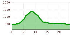
Route length: 24.6 km

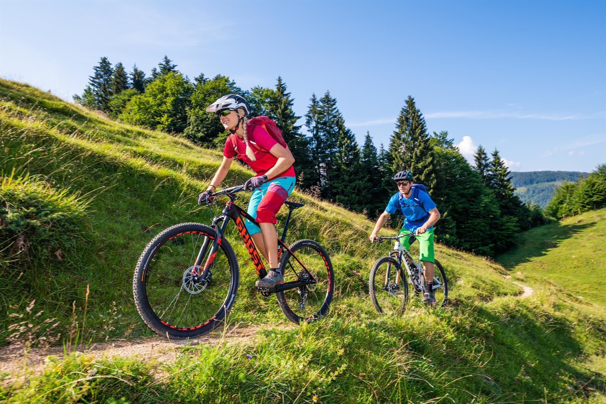
First the climb, then pure trail bliss!
Tour information

  • Requirement: medium
  • Length: 24.6 km
  • Elevation uphill:730 hm
  • Elevation downhill:730 hm
Highest point1,513 m

Starting point

Gondola valley station Hochbrixen

Finishing point

Gondola valley station Hochbrixen
  • Fitness level 3 / 6
  • Technique 3 / 6

Features

  • Circular route

Best time of year

  • January
  • February
  • March
  • April
  • May
  • June
  • July
  • August
  • September
  • October
  • November
  • December

Trail condition

Asphalt, gravel, natural trail

Equipment

Mountain bike, helmet, weather protection, provisions, first aid kit
Source: Kitzbüheler Alpen Management GmbH

Description

The starting point is the gondola station in Brixen im Thale
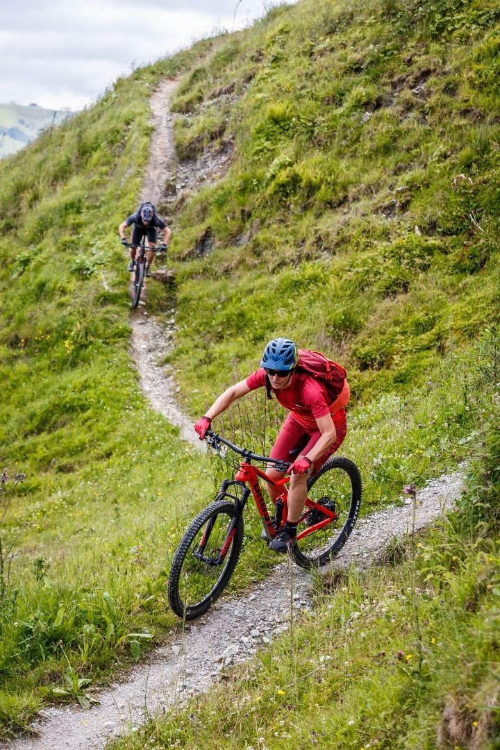
Via the Brixenbachalm, the route leads over several gravel serpentines and some crisp, steep sections up to the Wiegalm at about 1,500 metres above sea level; by then, the majority of the 730 vertical metres to be covered have been completed.
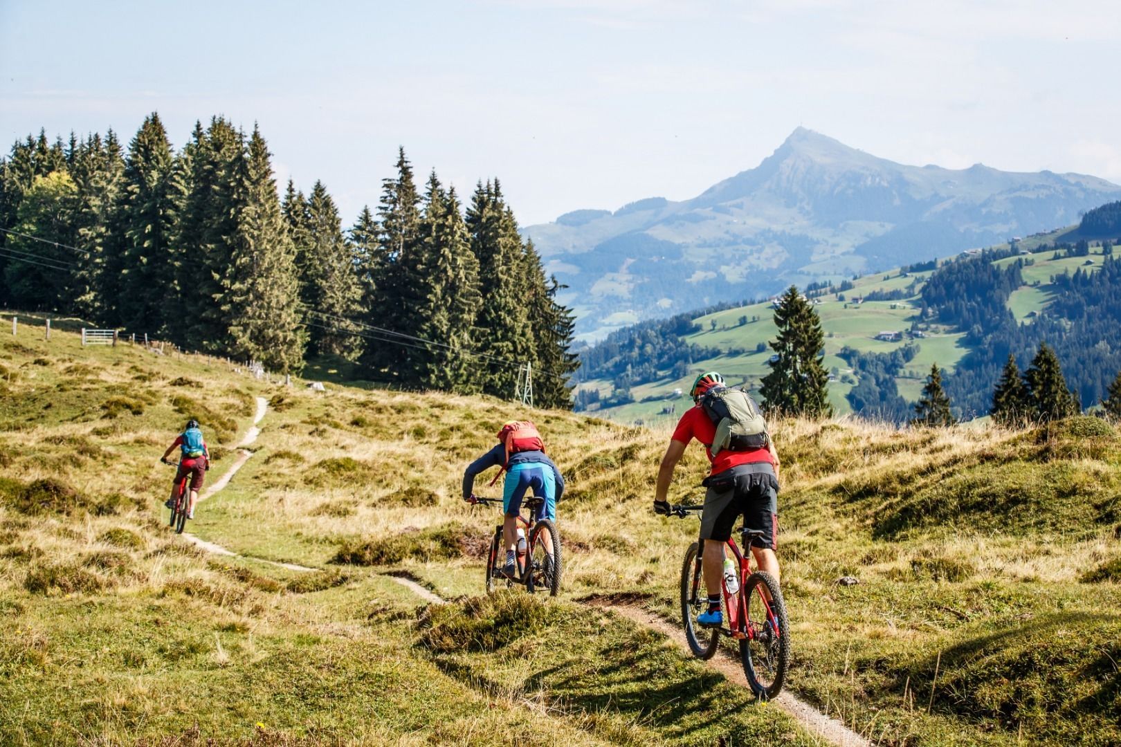
With a wonderful panoramic view reaching as far as the Hohe Tauern, you can already get into the mood for the upcoming descent.
At first, the descent continues along the gravel path before reaching the entrance to the natural Wiegalmtrail shortly after a sharp right-hand bend.
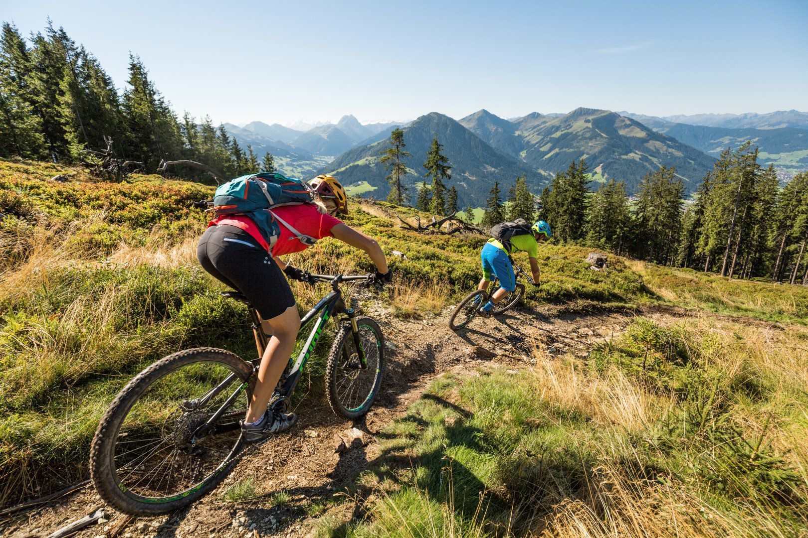
Pure enjoyment as you trail down across the alpine meadows and later through the forest towards the valley.
The end point of the trail is directly at the Aschauerbundesstraße / Reiserer; the return journey then follows the Spertentaler Ache to Kirchberg and finally continues comfortably along the cycle path back to the starting point in Brixen.

We ask for respectful interaction on and off the trail!  More details can be found here.

Nearby huts and mountain restaurants

Getting here

  • Parking

    Via the B170 coming from Wörgl or Kitzbühel to Brixen im Thale.
    Gondelbahn Hochbrixen

More tours in the surrounding area

  • OD Trails

    Opening hours:open
    Difficulty:medium
  • Wilder Kaiser cycle route no. 14

    Difficulty:medium
    Length:38.3 kmElevation uphill:520 m
  • 2031 | Sonnenrast Trail

    Opening hours:closed
    Difficulty:easy
    Length:1.7 kmElevation uphill:5 m
  • 1. Etappe KAT Bike Sport+

    Difficulty:difficult
    Length:25.0 kmDuration:3:30 hElevation uphill:1,108 m
  • Brixental cycling tour Nr. 21

    Difficulty:easy
    Length:46.7 kmDuration:3:30 hElevation uphill:450 m
  • Angereralm - Harschbichl

    Opening hours:closed
    Difficulty:medium
    Length:18.2 kmDuration:2:00 hElevation uphill:942 m
  • Salvenaradrunde

    Difficulty:medium
    Length:62.7 kmDuration:3:30 hElevation uphill:648 m
  • KAT BIKE SPORT+

    Difficulty:difficult
    Length:146.0 kmDuration:3 daysElevation uphill:5,686 m
  • Kalkstein Loop

    Difficulty:medium
    Length:41.7 kmDuration:3:30 hElevation uphill:341 m
  • Fleckalm Trail

    Difficulty:difficult
    Length:7.1 kmDuration:0:45 h
Newsletter

The mountain is calling? So does our newsletter!

In our monthly newsletter we reveal the best holiday tips for Tyrol.