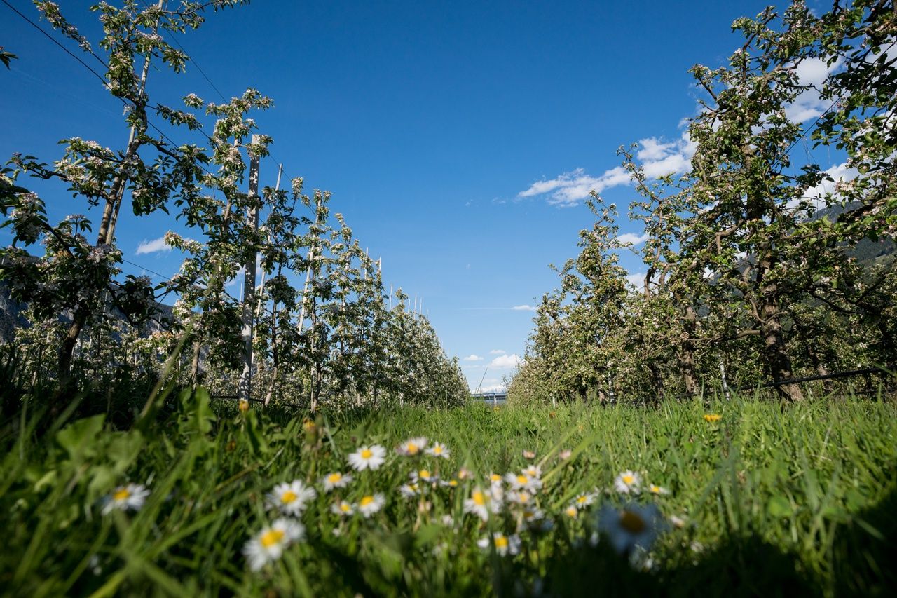
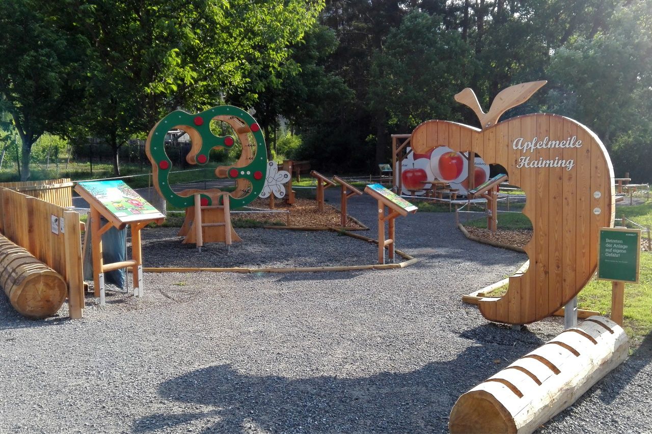
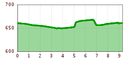
Open interactive mapOpen this POI on the interactive mapElevation profileFamilien Radtour Haiming Apfelmeile.gpx
Gasthof Rafting AlmOpening hours:Open todayPlace:Haiming:Restaurantsee restaurant detailssee restaurant details: Gasthof Rafting Alm
Leiterberg Trail © Rudi Wyhlidal Leiterberg Trail (672)Opening hours:openDifficulty:mediumLength:4.7 kmDuration:0:45 hElevation uphill:5 mGo to biketourGo to biketour: Leiterberg Trail (672)
OLLWEITE LINE © Rudi Wyhlidal Ollweite Line (6010)Opening hours:openDifficulty:mediumLength:6.8 kmDuration:1:00 hGo to biketourGo to biketour: Ollweite Line (6010)
trailcenter ötztaler höhe / wolfsrudel trail_img_80972192 © Ötztal Trailcenter Ötztaler Höhe / Wolfsrudel TrailOpening hours:openLength:1.4 kmDuration:0:24 hElevation uphill:29 mGo to biketourGo to biketour: Trailcenter Ötztaler Höhe / Wolfsrudel Trail
Kleble Alm Trail © Ötztal Kleble Alm Trail (699)Difficulty:mediumLength:2.2 kmDuration:0:30 hGo to biketourGo to biketour: Kleble Alm Trail (699)
Ötztaler Radweg © Ötztal Tourismus Büro Oetz Ötztal Cycle Trail (11)Opening hours:openDifficulty:mediumLength:60.2 kmDuration:6:00 hElevation uphill:915 mGo to biketourGo to biketour: Ötztal Cycle Trail (11)
Gaislachalm - Sölden © Jakob Falkner Bike Route Gaislach (644)Opening hours:openDifficulty:mediumLength:18.7 kmDuration:3:04 hElevation uphill:835 mGo to biketourGo to biketour: Bike Route Gaislach (644)
Sölden, Fernar Trail crop (2) © Tirol Werbung | Sebastian Schels Fernar Trail (6041)Difficulty:difficultLength:6.0 kmDuration:0:49 hElevation uphill:18 mGo to biketourGo to biketour: Fernar Trail (6041)
amberger-huette1 (1) © Ötztal Tourismus 694 Amberger HütteOpening hours:openDifficulty:mediumLength:23.7 kmDuration:3:00 hElevation uphill:960 mGo to biketourGo to biketour: 694 Amberger Hütte
rennradtour - sölden - ötztaler gletscherstraße zum rettenbachgletscher_img_26244766 © Dominic Kuen Road cycling tour: Sölden - Ötztal Glacier Road up to Rettenbach GlacierDifficulty:difficultLength:29.6 kmDuration:3:28 hElevation uphill:1,457 mGo to biketourGo to biketour: Road cycling tour: Sölden - Ötztal Glacier Road up to Rettenbach Glacier
Give feedback for a chance to win a special holiday experience!Click here for the surveyClick here for the survey


")
")

