Arrival by public transport
bus: Bus stop Angerberg Gemeindeamt
train: Wörgl main station
Guest card = travel ticket - bus & train included!
Online timetables:
www.vvt.at
www.oebb.at
Angerbergerrunde
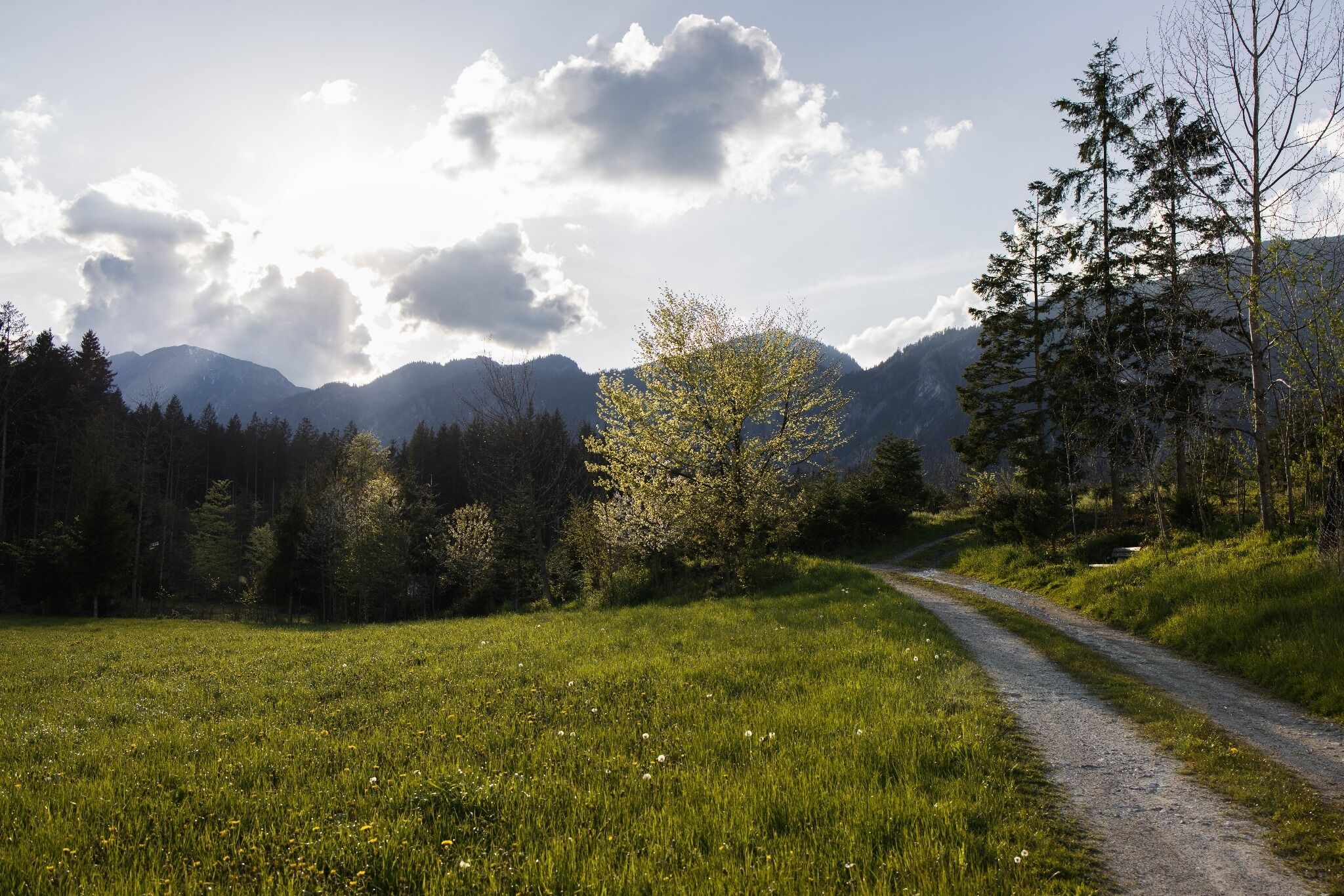
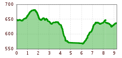
The starting point for this running circuit is the primary school in Angerberg. From there, follow the signs no. 6/6a. Pass the industrial park and cross the forest until you reach the village of Oberachleit. There you follow the signs (No. 6/6a) through the forest. At the main road you turn right, at the next junction you keep left. A forest path continues to Endstrass, where you can shorten the loop by following path no. 6a. Otherwise, follow the signposting no. 6 through the forest until you reach the Moosbach. You can return to the starting point via trail n
bus: Bus stop Angerberg Gemeindeamt
train: Wörgl main station
Guest card = travel ticket - bus & train included!
Online timetables:
www.vvt.at
www.oebb.at
School center Angerberg
Municipal office Angerberg


.jpg")


