 Gasthof Baumgarten")
Opening hours:Open today
Place:Angerberg
:Restaurant, Tavern
Baumgartenrunde
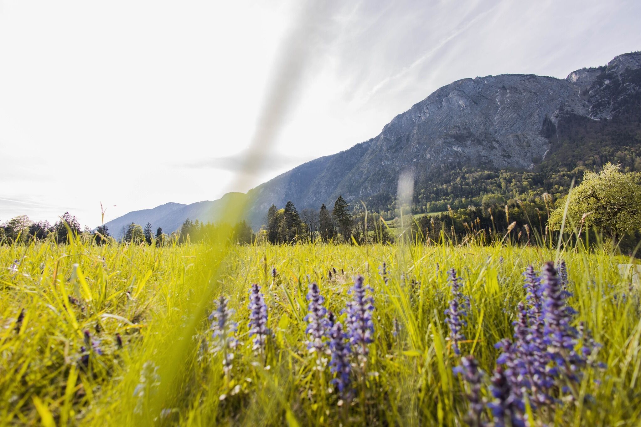
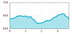
The starting point for this running route is the sports and cross-country skiing center in Angerberg. From there, follow signpost no. 5 towards Linden. After the Baumgarten settlement, you can turn right onto Lindenmoosweg or continue straight ahead along the sidewalk to Haus Waldrand/signpost. Continue through a residential area to the next hill, where you turn left through the forest and descend towards Edwald. There, the path leads to the right along the road past houses and then along the edge of the forest. At Gasthof Baumgarten, you return to the starting point.
bus: sportscentre Angerberg
Guest card = travel ticket - bus & train included!
Online timetables:
www.vvt.at
www.oebb.at
parking directly at the sportscentre Angerberg


.jpg")


