Gsundheitsbründl Walk

Hopfgarten im Brixental / Kitzbühel Alps
Route length: 4.2 km

Gsundheitsbründl Walk

Tour information

  • Length: 4.2 km
  • Elevation uphill:190 hm
  • Elevation downhill:190 hm
Highest point770 m

Starting point

Tourist information office Hopfgarten

Finishing point

Tourist information office Hopfgarten
  • Fitness level 1 / 6
  • Technique 1 / 6

Best time of year

  • January
  • February
  • March
  • April
  • May
  • June
  • July
  • August
  • September
  • October
  • November
  • December
Source: Kitzbüheler Alpen Management GmbH

Description

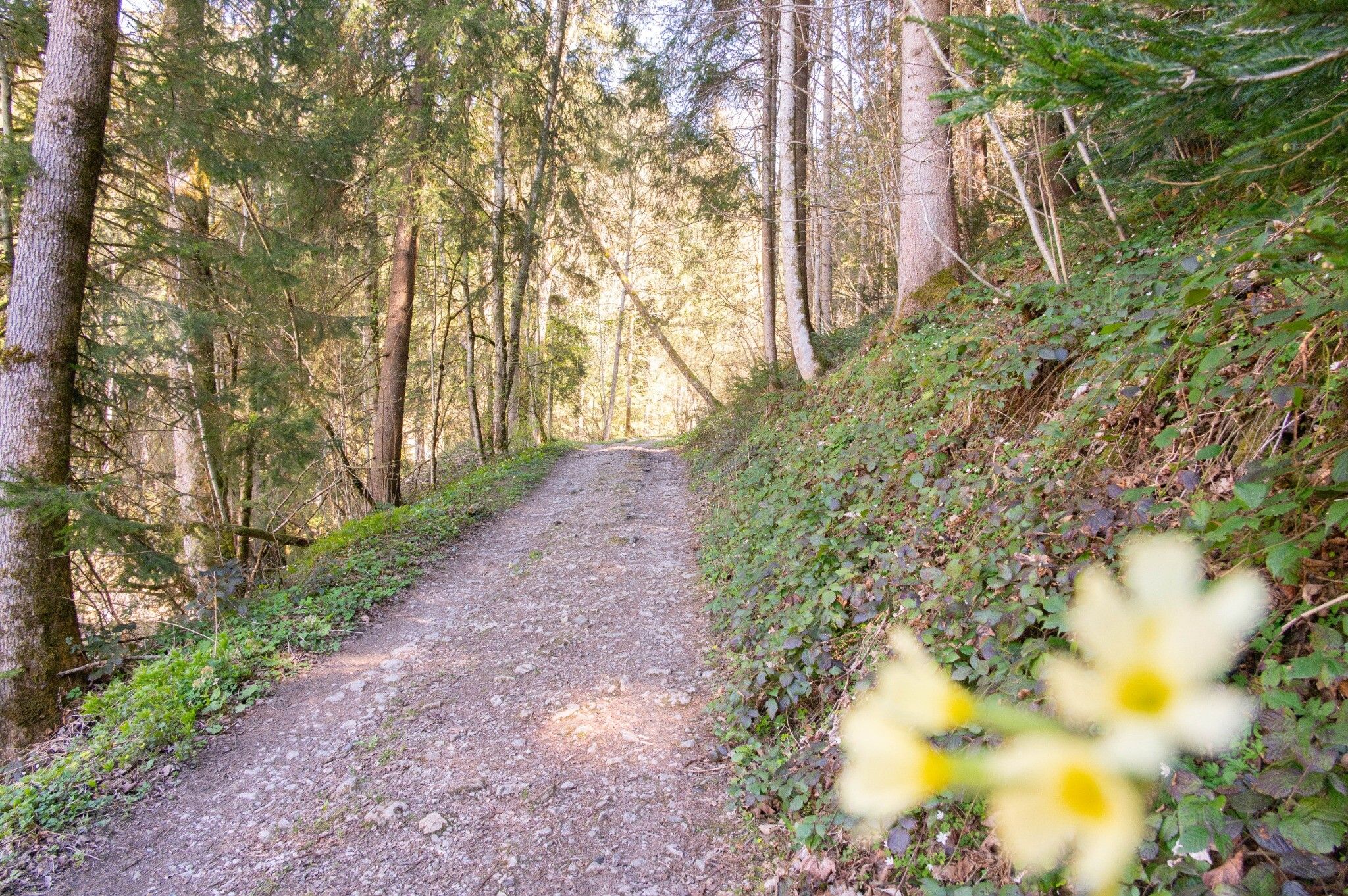
The starting point of this running circuit is the information office in Hopfgarten. Passing the Das Hopfgarten Aparthotel and the Högerhof farm, follow the signposting no. 4 in the direction of the market center.
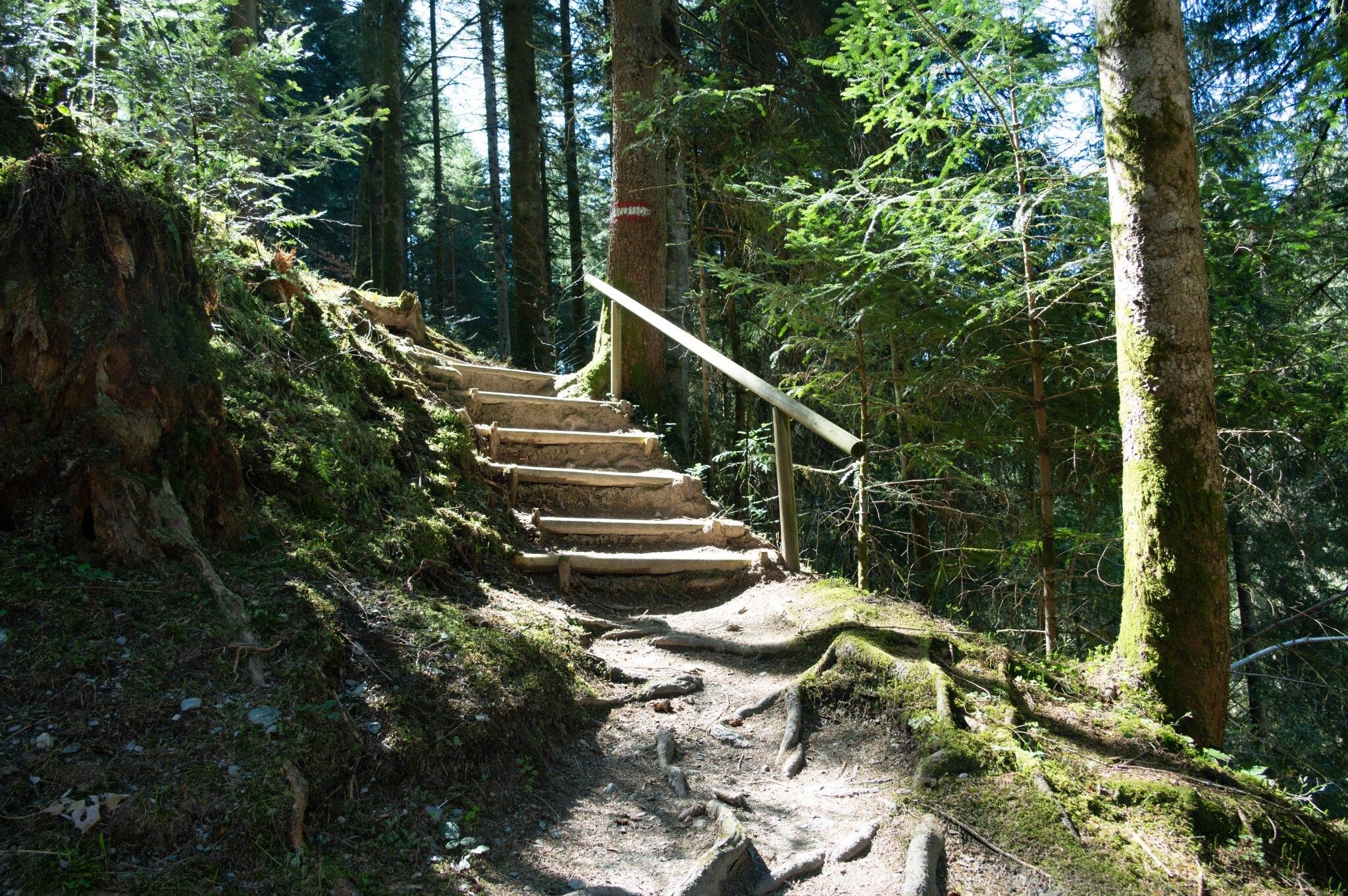
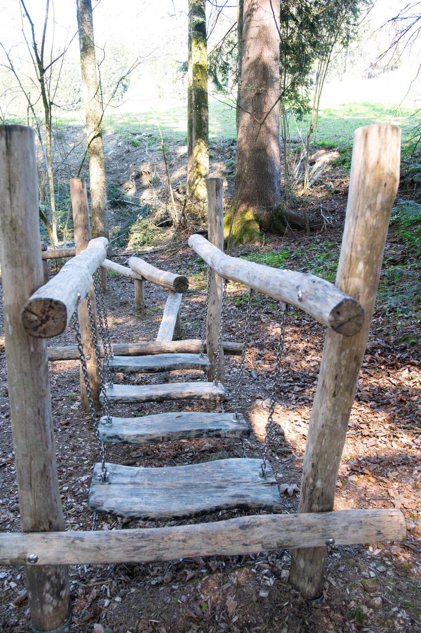
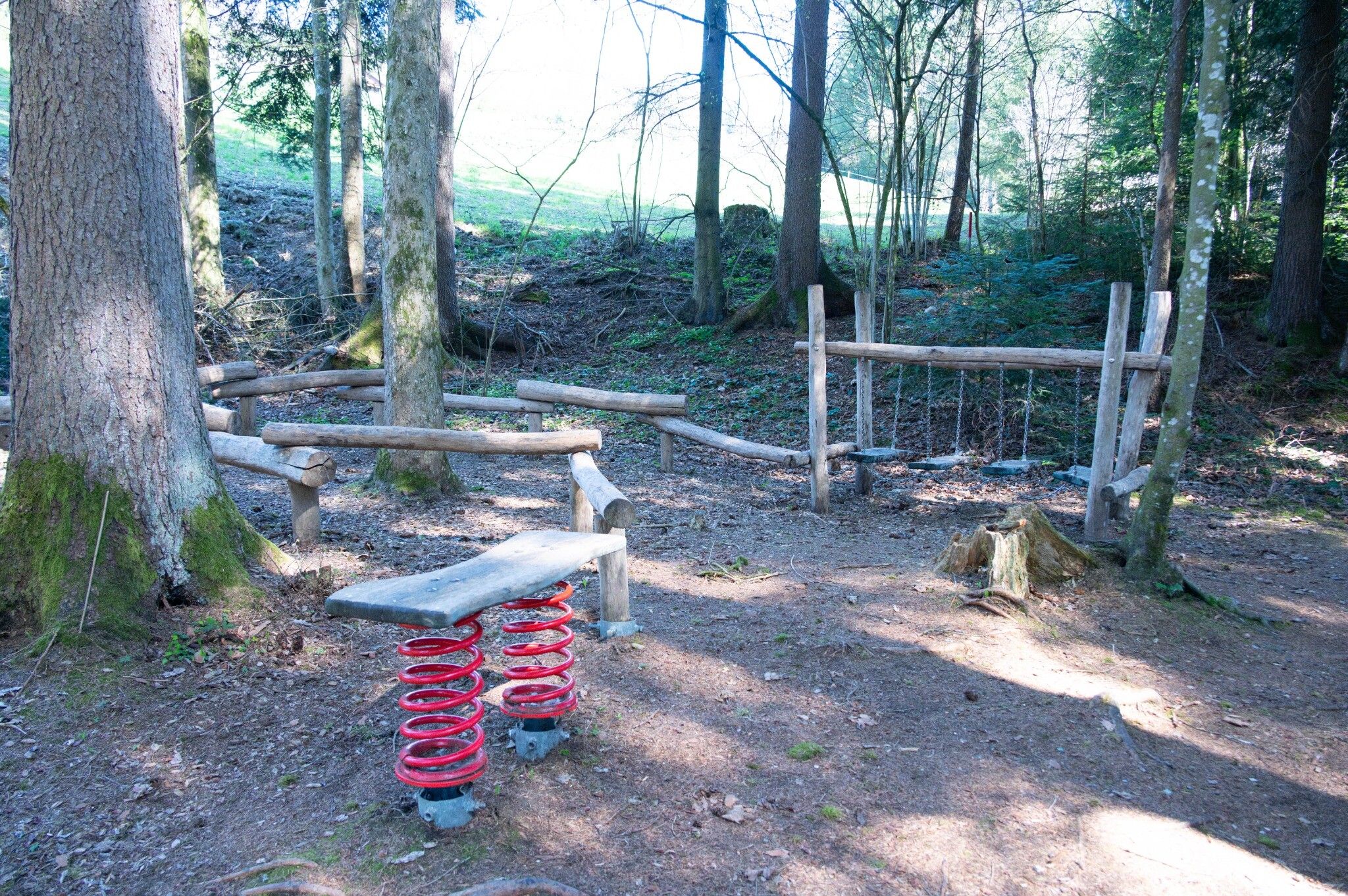
On a narrow path with a slight ascent you run past a plateau. There you will also find the first station for sporting exercises.
Through the forest, past the stream, you come to the heart of the G'sundheitsbürndlweg - the fountain with crystal-clear mountain water that gives it its name.
Passing the Högerhof farm, you return to the starting point, the information office in Hopfgarten.

Nearby huts and mountain restaurants

Getting here

  • Arrival by public transport

    bus: Hopfgarten Berglift Bahnhof
    train: Hopfgarten Berglift Bahnhof 

    Guest card = travel ticket - bus & train included! 
    Online timetables:

    www.vvt.at
    www.oebb.at
     

  • Parking

    Parking lot P3 Wasserfeld (free of charge) 
    Lift parking lot - free of charge when using the gondola

More tours in the surrounding area

  • Auenweg Niederau

    Difficulty:easy
    Length:1.0 kmDuration:0:30 hElevation uphill:31 m
  • Schafsiedel

    Difficulty:medium
    Length:15.6 kmDuration:6:45 hElevation uphill:1,280 m
  • KAT WALK FAMILY

    Difficulty:medium
    Length:52.5 kmDuration:4 daysElevation uphill:3,390 m
  • KAT WALK COMPACT

    Difficulty:medium
    Length:83.0 kmDuration:5 daysElevation uphill:5,462 m
  • 2nd stage KAT Walk Alpine

    Difficulty:medium
    Length:18.0 kmDuration:8:00 hElevation uphill:1,140 m
  • 1st stage KAT Walk Alpine

    Difficulty:medium
    Length:20.0 kmDuration:6:00 hElevation uphill:800 m
  • 1st stage KAT Walk Family

    Difficulty:medium
    Length:10.0 kmDuration:5:30 hElevation uphill:700 m
Newsletter

The mountain is calling? So does our newsletter!

In our monthly newsletter we reveal the best holiday tips for Tyrol.