Mountain hikes Ascherhütte via Spinnscharte

closed
Fiss / Samnaun Group
Difficulty ratings: medium
Route length: 8.5 km
Duration: 4:30 h

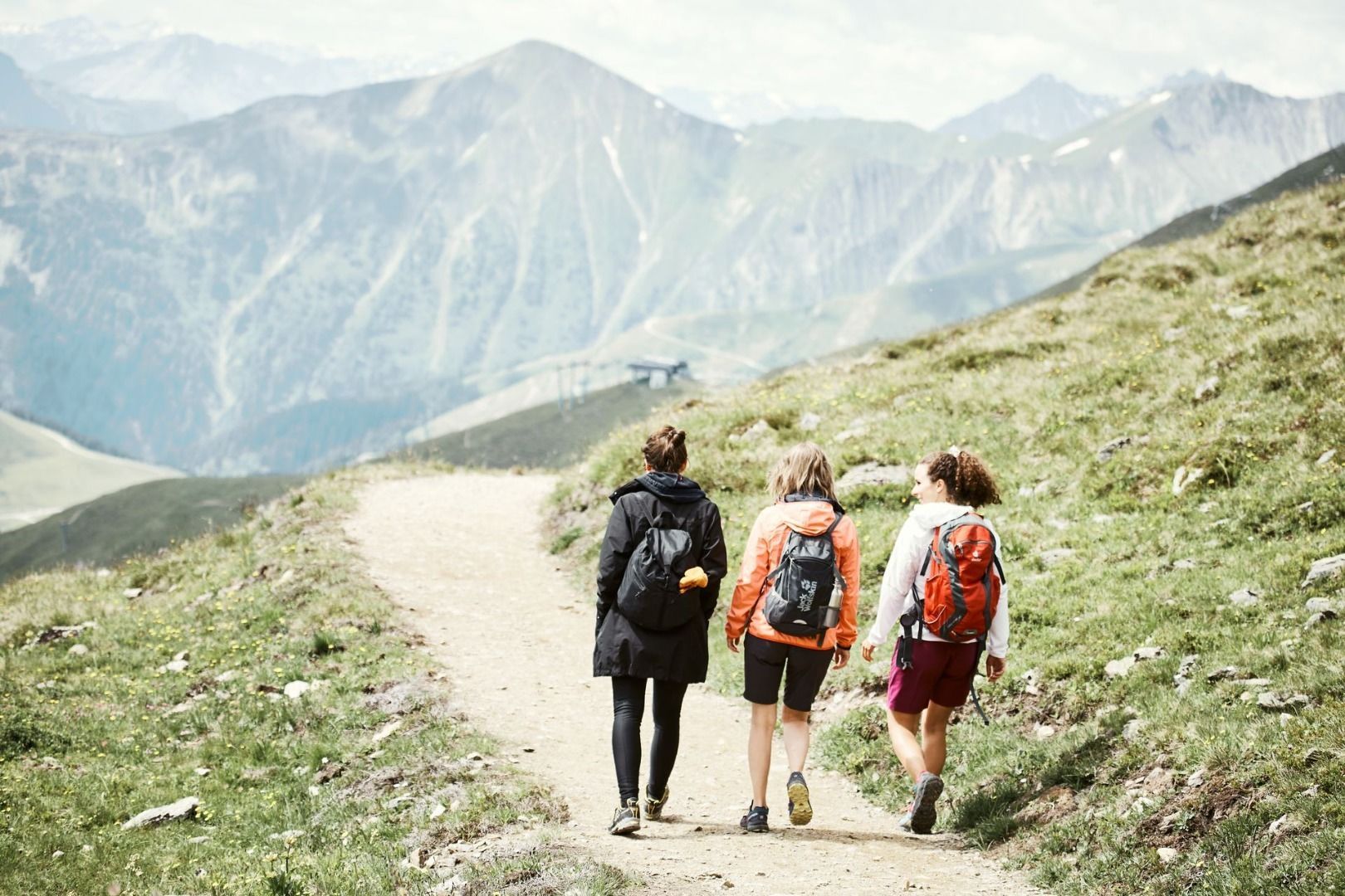
Very beautiful high alpine hike from the Fisser Joch on the Spinnseensteig path through the deepest Urgtal valley to the Oberen Spinnsee lake and via Spinnscharte into the Paznauntal valley to the Ascherhütte, 2,256 m. The scenery is certainly the most beautiful ascent to the Ascherhütte. The Alpine Club hut is open and offers the possibility to stay overnight.

Tour information

  • Requirement: medium
  • Length: 8.5 km
  • Duration: 4:30 h
  • Elevation uphill:586 hm
  • Elevation downhill:765 hm

Starting point

Schönjochbahn top station

Finishing point

Ascherhütte
Source: Serfaus-Fiss-Ladis

Description

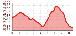
You reach the Oberen Spinnsee lake as descripted on trail no. 16. From the lake, go left up over the Steinkare to Spinnscharte 2,681 m (F106a) 2,681 m. Behind that, descending slightly over a broad backed ridge and over this, down more steeply to the hut at the valley. Return via Glockscharte (S269) and Glockhäuser (S263/261) or via Medrigjoch and Furglerjoch (S212) to the Komperdell (S103). Walking time, 3 - 4 hrs. However, the descent to See in the Paznauntal valley (cablecar) is shorter. Walking time: 1 hour to the cablecar, 2 1/2 hours down to the valley. For hut tours of several days, the traverse on trail no. 713 over Masnerjoch 2,685 m (S239) to the Hexenseehütte (S233) is recommended.

Nearby huts and mountain restaurants

More tours in the surrounding area

  • Marmot Trail

    Opening hours:closed
    Difficulty:easy
    Length:573 mDuration:0:20 hElevation uphill:12 m
  • Wild Animals Trail

    Opening hours:open
    Difficulty:easy
  • Forscherpfad

    Opening hours:open
    Difficulty:easy
    Length:3.4 kmDuration:1:30 hElevation uphill:219 m
  • Fiss to the Oberen Sattelkopf

    Opening hours:closed
    Difficulty:medium
    Length:5.6 kmDuration:3:00 hElevation uphill:1,079 m
  • Murmeltiersteig (Marmot alpine trail)

    Opening hours:closed
    Difficulty:medium
    Length:6.9 kmDuration:3:00 hElevation uphill:302 m
  • Six Senses trail

    Opening hours:closed
    Difficulty:easy
    Length:5.7 kmDuration:4:00 h
  • Hiking trail to the Frommes Alp

    Opening hours:closed
    Difficulty:easy
    Length:3.9 kmDuration:1:30 hElevation uphill:273 m
  • Six Senses trail

    Opening hours:open
    Difficulty:easy
    Length:6.5 kmDuration:4:00 hElevation uphill:99 m
Newsletter

The mountain is calling? So does our newsletter!

In our monthly newsletter we reveal the best holiday tips for Tyrol.