
Parking
From Innsbruck (Main Station): Bus line 502 (toward Eichat Föhrenwald). Major stops: Innsbruck Terminal Marktplatz – Rum Dorfplatz – Eichat Bettelwurfsiedlung. The bus runs approximately every 15 to 30 minutes between 6 a.m. and 20 p.m.
Just a stone’s throw from Innsbruck, you can scramble through the wild Karwendel Mountains while the city looks on from below. Whether the first climbers begged for shelter at the Mountain hut or for help with difficult climbing sections, we can no longer say today. In any case, it’s rare for such a gigantic mountain to loom directly over the city—and show us just how close these two contrasting worlds are to one another.
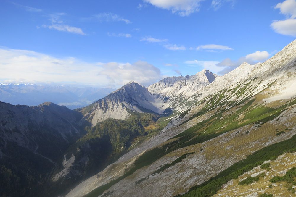
A two-day, very challenging Karwendel tour for fit mountaineers to the striking Großer Bettelwurf. The first day involves exposed scrambling over scree, steep mountain pine slopes, and increasingly rocky sections; steel cables and wire ropes make the key sections in steep gullies and along the ridge easier to navigate, without detracting from the serious nature of the climb — sure-footedness, a head for heights, and excellent physical conditioning are essential. The effort is rewarded with a breathtaking summit view high above the Bettelwurfkar and, later, a hearty meal at the Mountain hut. Overnight stay at the Bettelwurfhütte. The return route on the second day remains varied and scenic, leading over the Lafatscher Joch, the flower-filled Issanger, and the Zunterköpfe ridge back to the Starting Point. Short sections secured with ropes along the ridge still require sure-footedness and a head for heights.
Day 1 (Black Trail [Difficult])
Distance: 7.0 km
Duration: 6:45 hrs.
Finishing Point: Bettelwurfhütte
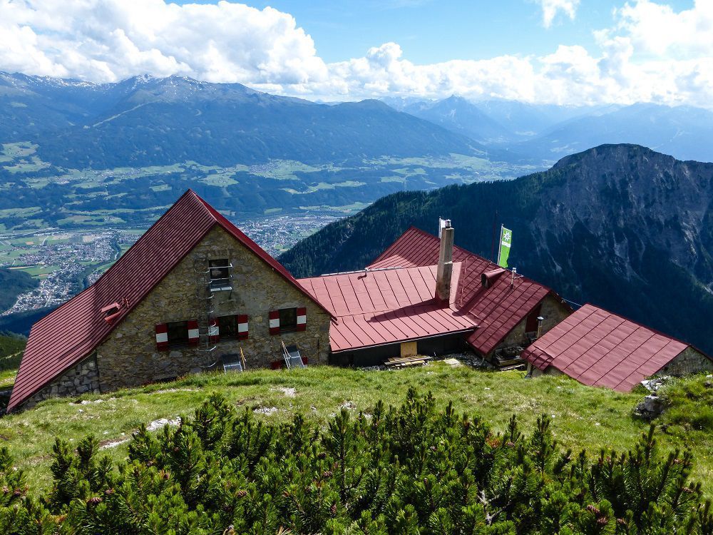
This trail requires a head for heights and sure-footedness! From the bus stop, we walk back along the road for a short distance and then turn right toward Halltal. After about 200 meters, we reach the parking lot at the entrance to Halltal, which also features a playground for children and informational signs about the history of salt mining and mountaineering. We follow Halltalstraße to the drinking water tunnel, where we cross the stream and take Trail No. 222—first over scree, then steeply through mountain pines, partially secured with steel cables—up to the Bettelwurfhütte (2,077 m). It was built by the Innsbruck mountaineering pioneer Julius Pock and the “Wilde Bande” mountaineering club from 1891 to 1893. Here we can rest and leave our overnight gear so we can tackle the exposed path to the summit with easier packs. The trail then continues steeply uphill along a ridge. The trail becomes more challenging, and in some sections we walk along the exposed ridge above the Bettelwurfkar. We then follow the trail—which is adequately secured with wire ropes—along a gully to the summit of the Großer Bettelwurf (2,726 m), which we reach after 5 hours and 30 minutes. The return to the Mountain hut follows the same route; a hearty meal and sweeping views make the effort worthwhile.
Day 2 [red trail [moderate])
Distance: 11 km
Duration: 5:00 hrs.
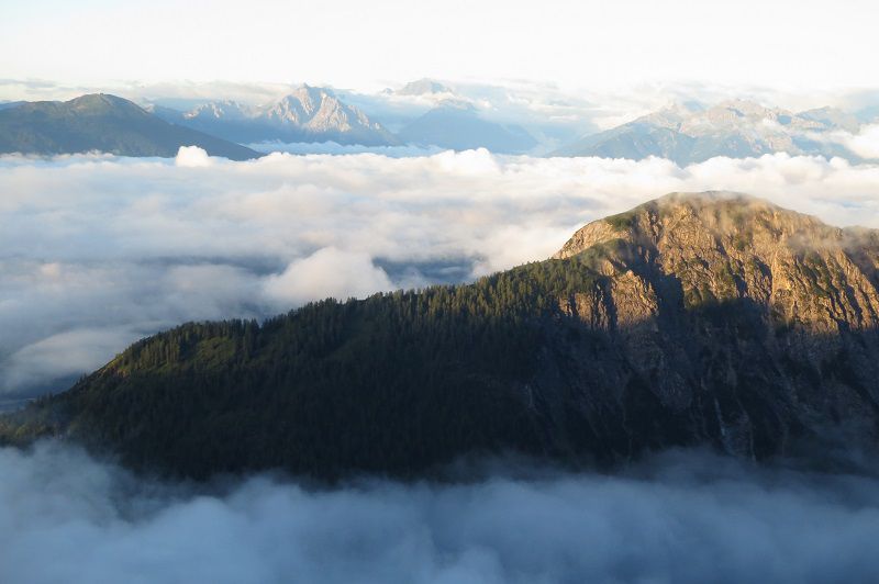
From the mountain hut, we can see most of today’s route: we’ll cross the two glacier-rounded peaks directly to the south on the other side of the Halltal in a wide arc coming from the west to return to the Starting Point. First, we’ll follow Hiking Trail 222 further west to the Lafatscher Joch, which we’ll reach after some ups and downs. From this broad ridge, we’ll descend to the left toward the Issanger (1,626 m) and St. Magdalena. The Issanger, a former grazing area for the draft and working animals used in mining, is a sight of unparalleled beauty and the site of annual maintenance efforts by volunteers from Team Karwendel. To prevent the species-rich flower meadows from becoming overgrown with mountain pines, they must be mowed regularly. After a short break, we briefly follow the forest road uphill to the Issjöchl, where it makes a sharp right turn. Before the next left-hand curve, our trail branches off to the right toward Törl and Thaurer Alpine Pasture, then climbs southward over the gravel areas above the forest road. At Törl, the wind from the Inntal blows toward us: Suddenly, the view opens up beyond Innsbruck. Instead of descending to the Thaurer Alpine Pasture (also an option, then continuing as in Tour 6), in dry conditions, we climb to the left via a small trail up the mountain pine-covered Thaurer Zunterkopf (1,918 m) to reach the ridge, where we pass a short section secured with a rope to climb the Haller Zunterkopf (1,966 m). The scenic summit between the majestic Bettelwurf and the Inntal is the perfect spot for a snack as we reflect on the tour. Finally, we follow the narrow path past another section of rock secured with a rope. On the broad ridge, the trail now descends gently to the Hochmahdkopf (1,738 m) and then drops steeply down over the Heuberg to the Halltal entrance parking lot and the bus stop.
From Innsbruck (Main Station): Bus line 502 (toward Eichat Föhrenwald). Major stops: Innsbruck Terminal Marktplatz – Rum Dorfplatz – Eichat Bettelwurfsiedlung. The bus runs approximately every 15 to 30 minutes between 6 a.m. and 20 p.m.


