
Opening hours:Open today
Place:Leutasch
:Alpine pasture / hut / mountain restaurant
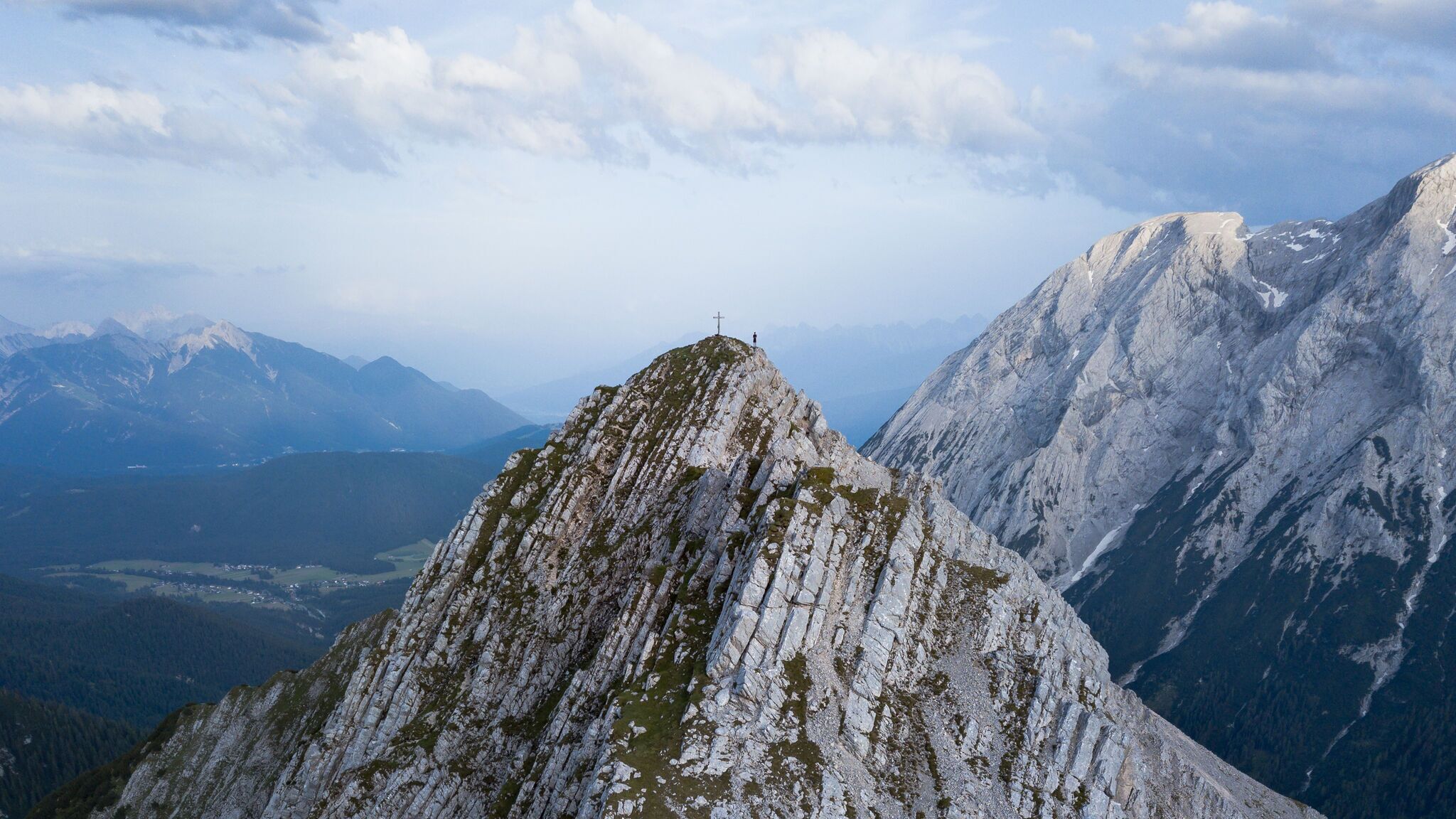
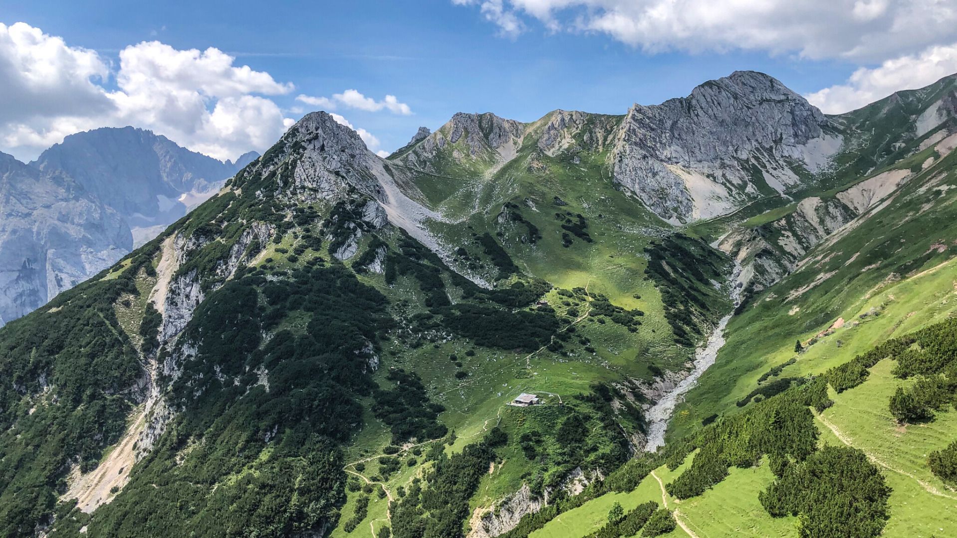
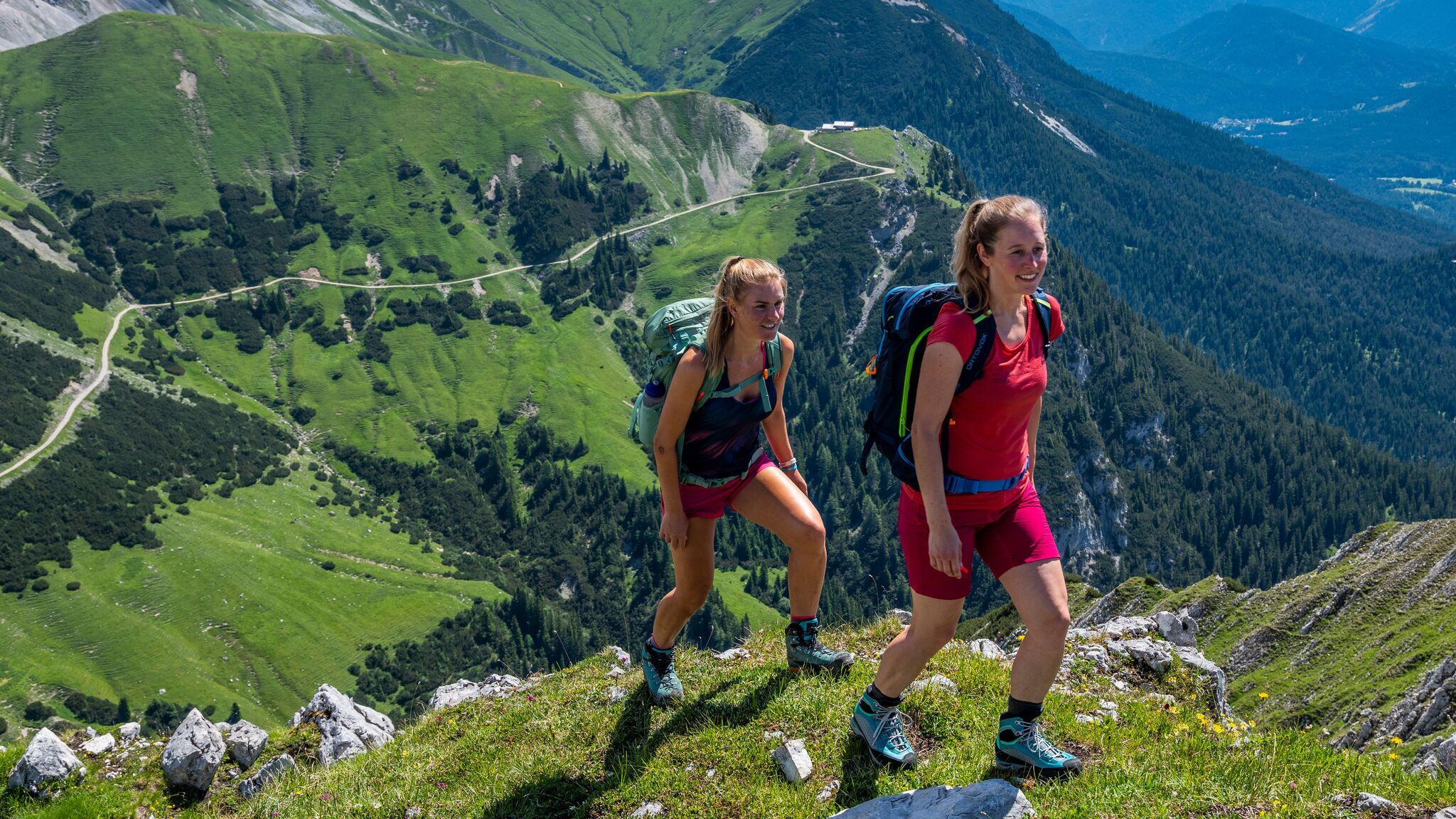
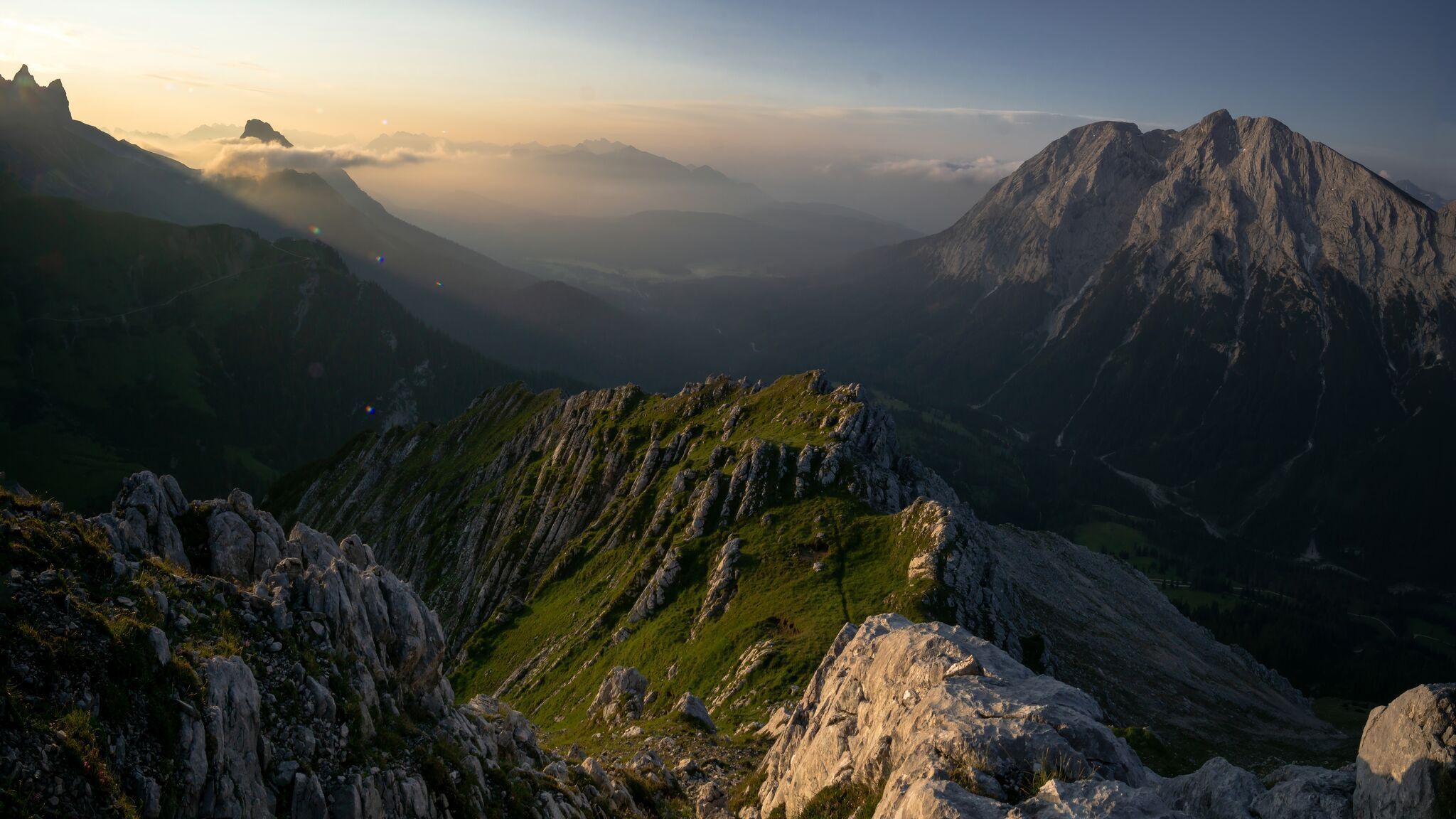
Explore a challenging bike and mountain tour to the Predigtstuhl with a magnificent view.
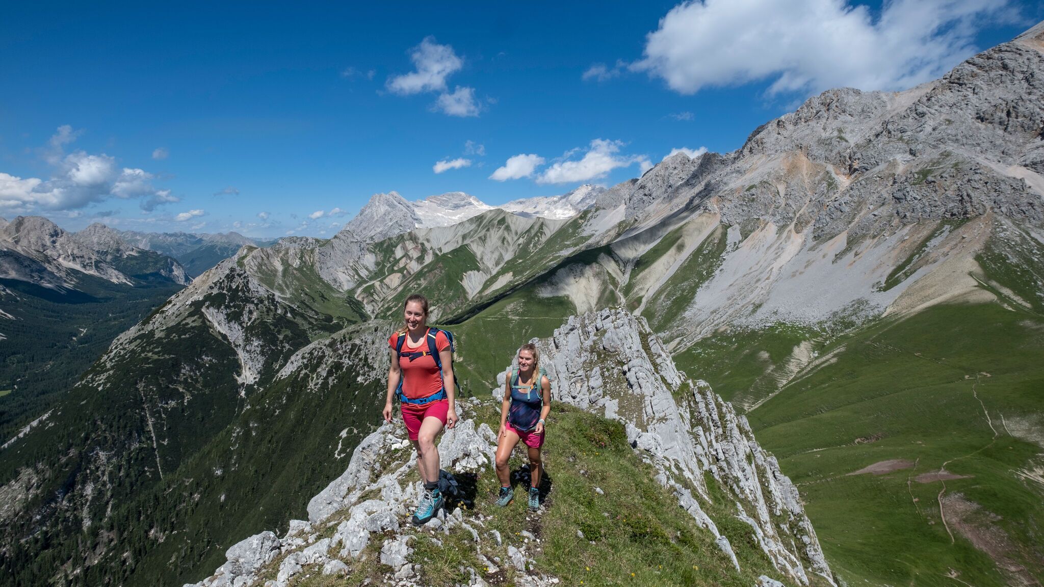
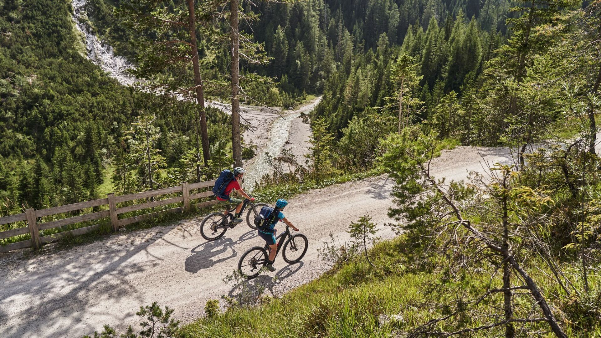
Bike: Asphalt, gravel / Hike: alpine terrain, narrow trail, partly loose scree
You can find all the latest information on the road closures in the Seefeld region here.
Have you discovered a spot that we should rework or repair? Fill in the 'Report hazard' form and let us know where work is needed in the region.
Very good condition & technique required. Off-road bike (mountain bike, gravel bike, etc.), helmet, gloves
Suitable equipment is also available in the bike stores in the region.
For the hike: Sturdy hiking shoes, functional clothing, a backpack, water, snacks, alpine experience, and sure-footedness are necessary for this tour! Also recommended: a hiking map or GPS, a first aid kit, sun protection, hiking poles, and an emergency blanket.
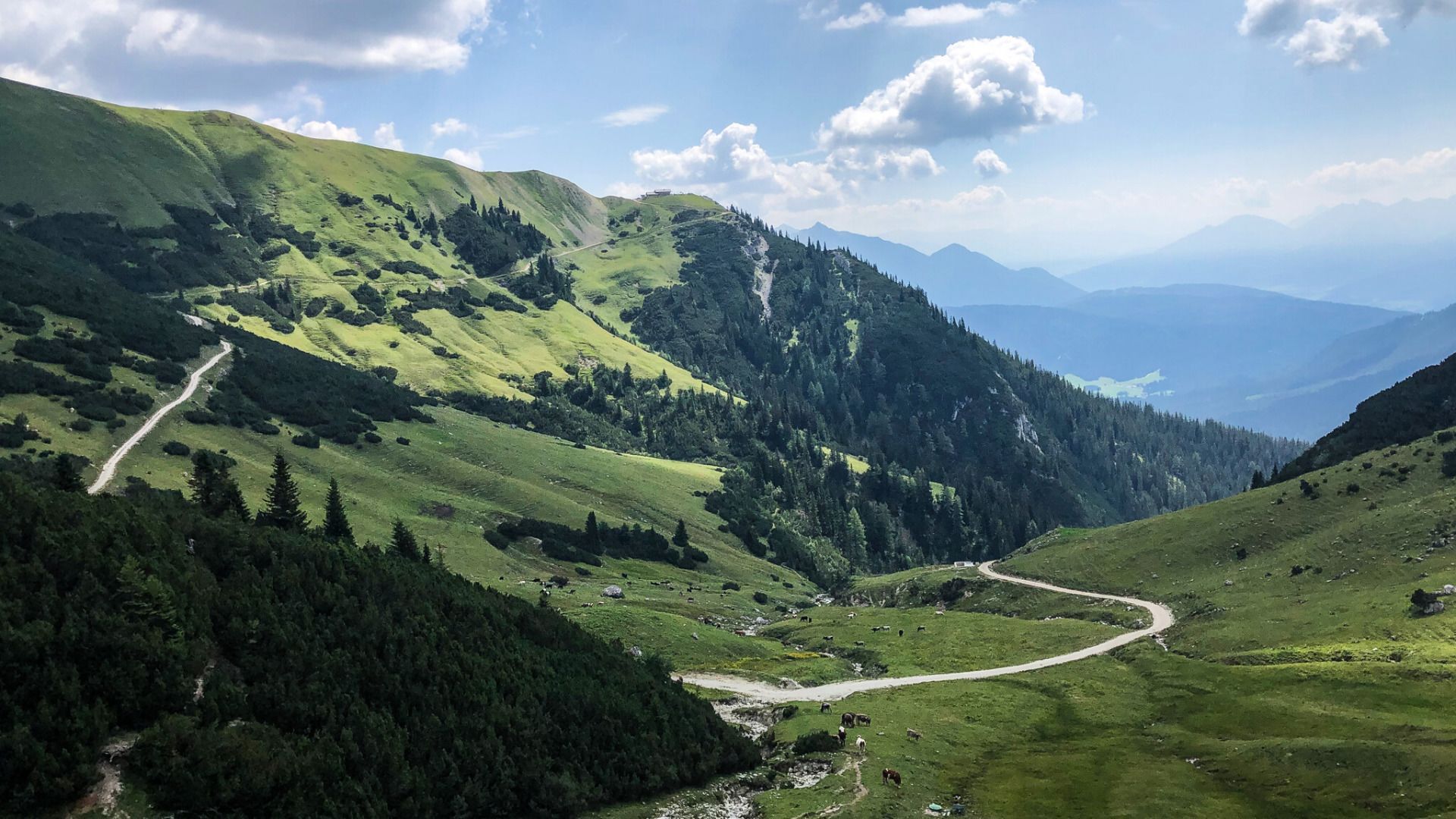
The trail first leads over a short, steeper ascent through wooded areas until you get to a junction, keep left here in the direction of Gaistalalm and from there take the, now easier, forest trail into Gaistal. Keep right at the Gaistalalm turn-off. This is followed by a steep, winding ascent towards the Rotmoosalm (see also bike tour Rotmoosalm). Leave the bike at the Predigtstuhl junction and continue on foot. Over lush green grassy slopes you come to a saddle, from where you reach the Predigtstuhl between rugged rocks. Once at the top, you are rewarded with a magnificent view. Take the same route back to the starting point.
Details for one direction:
Take the bus to Leutasch and get off at the 'Gaistal/Salzbach' bus stop.
All real-time connections can be found in the route planner.
You can find all information about bicycle transportation on the bus here.
Guest Card = Travel Card: The guest card is valid during your stay as a ticket for all public bus connections in the region (up to Telfs and Mittenwald). In addition, the train ride between Seefeld and Scharnitz and the Wildmoosbus are also included. However, a separate ticket for bicycle transportation on the train must be purchased at the ticket counter of the Seefeld information & mobility center or online.
Parking lots P3, P4, and P5 'Salzbach' in Gaistal - Leutasch.
You can find all other car parks in Leutasch here.


.jpg")


.jpg")
.jpg")


.jpg")


.jpg")
.jpg")


 (2).jpg")


 Olympiaregion Seefeld")

