
Öffnungszeiten:Heute geöffnet
Ort:Birgitz
:Alpine pasture / hut / mountain restaurant:vegetarian
Birgitzer Alm, hiking trail no. 22
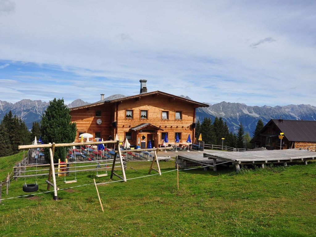

The trail to the Birgitzer Alm mountain hut starts at the church in Birgitz. It leads up a forest road through lovely alpine meadows and takes about two hours. At the halfway point, you pass Gasthof Adelshof, a restaurant located at an altitude of 1,315 metres above sea level. Parking spaces for the Birgitzer Alm mountain hut are available just above the Adelshof. From there, the path leads through the forest and takes about an hour.
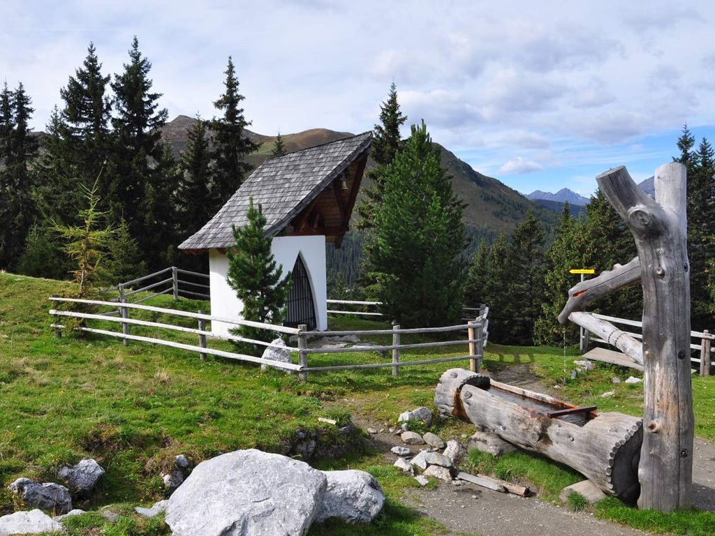
From the Birgitzer Alm, you can hike to the Götzner Alm mountain hut (1,542 metres above sea level) or Axamer Lizum (1,564 metres above sea level). Both of these hikes take about 30 minutes. Hiking maps are available for these routes at the tourist information centre in Axams.


.jpg")

.jpg")
_WaLogo.jpg")


