
Opening hours:Today closed
Place:St. Leonhard im Pitztal
:Restaurant, Alpine pasture / hut / mountain restaurant
Cottbuser Höhenweg (high-level trail)
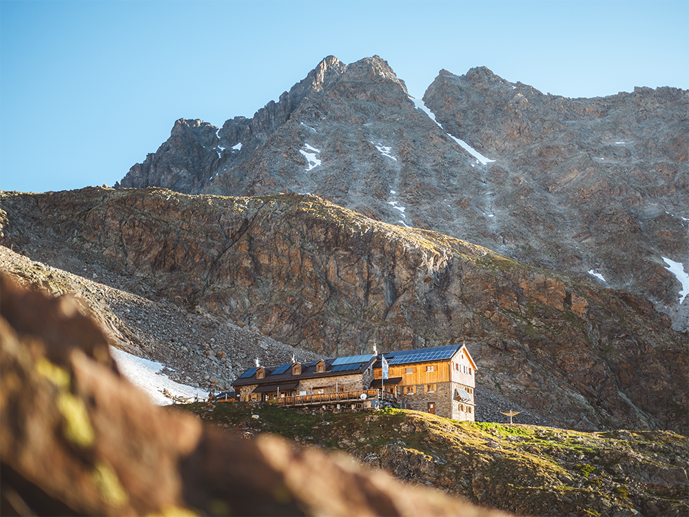
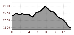
Turn right on the clearly waymarked track, following the bends in the direction of the Brandkogel peak. Climb further on this steep track, secured by steel ropes, through gullies and rocky slopes, cross over a cirque, the Alzeleskar and walk around the Steinkogel peak in a wide arch. Please note that difficult passages are secured by steel ropes but you still must be sure-footed and confident not to suffer any fear of heights - 360 degrees overview. When this track joins the high-level trail Cottbuser Höhenweg and the path from Plangeroß in the direction of the catered mountain hut Kaunergrathütte, the path is at first flat (but over rocks and stones) but then climbs very steeply up to the Kaunergrat Hütte. Descend via the outward route, but turn off towards Plangeroß at the aforementioned fork. Take the bus back to the starting point Mandarfen.
Tip: If you still feel fit, you may wish to continue to climb the Plangeroßk opf summit
to enjoy beautiful panoramic scenery, which you can reach in about 1 hr from the Kaunergrathütte. Grade: intermediate.


.jpg")

.jpg")
.jpg")


.jpg")


.jpg")
.jpg")


