
Opening hours:Open today
Place:Ginzling
:Alpine pasture / hut / mountain restaurant
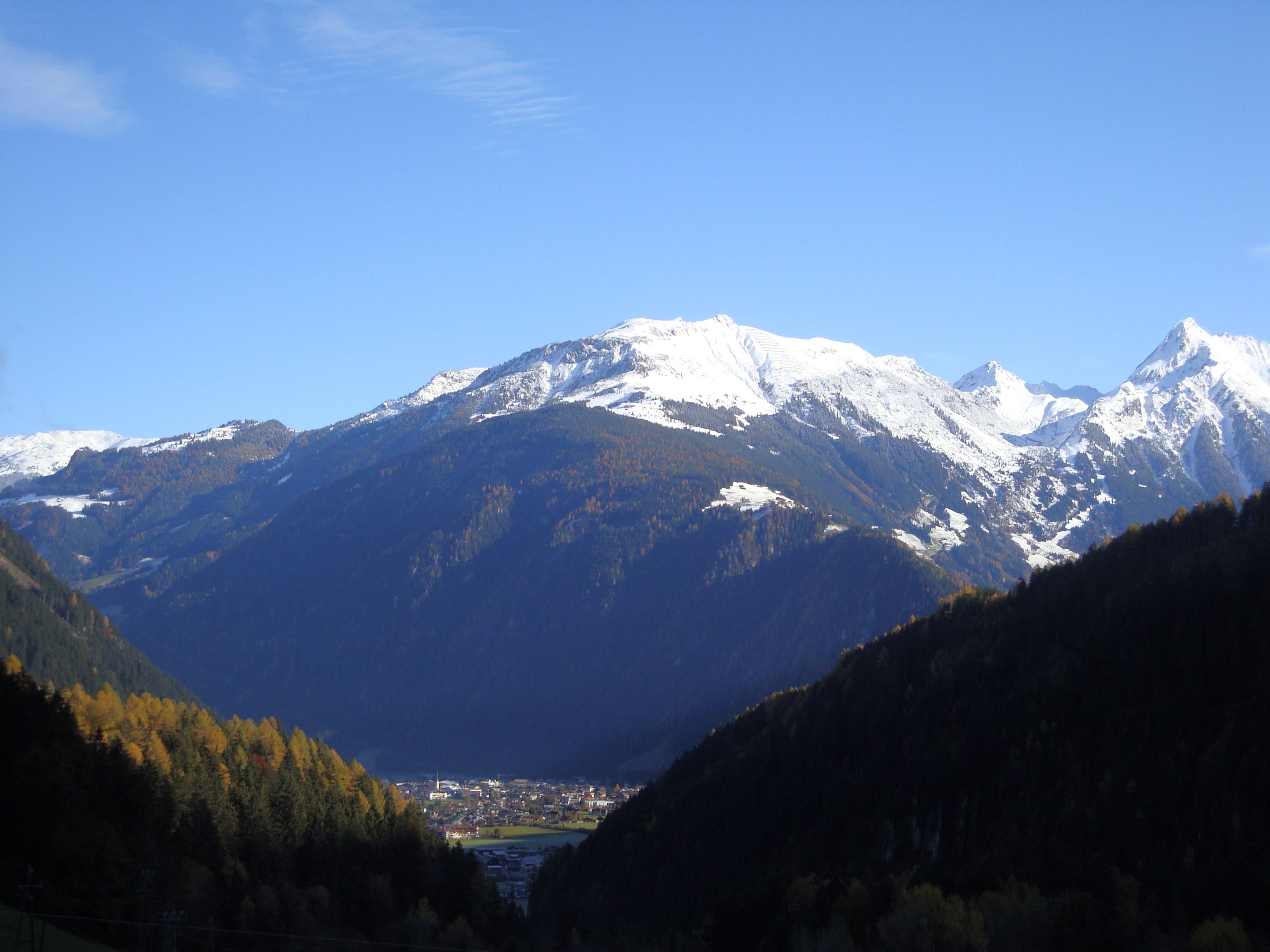
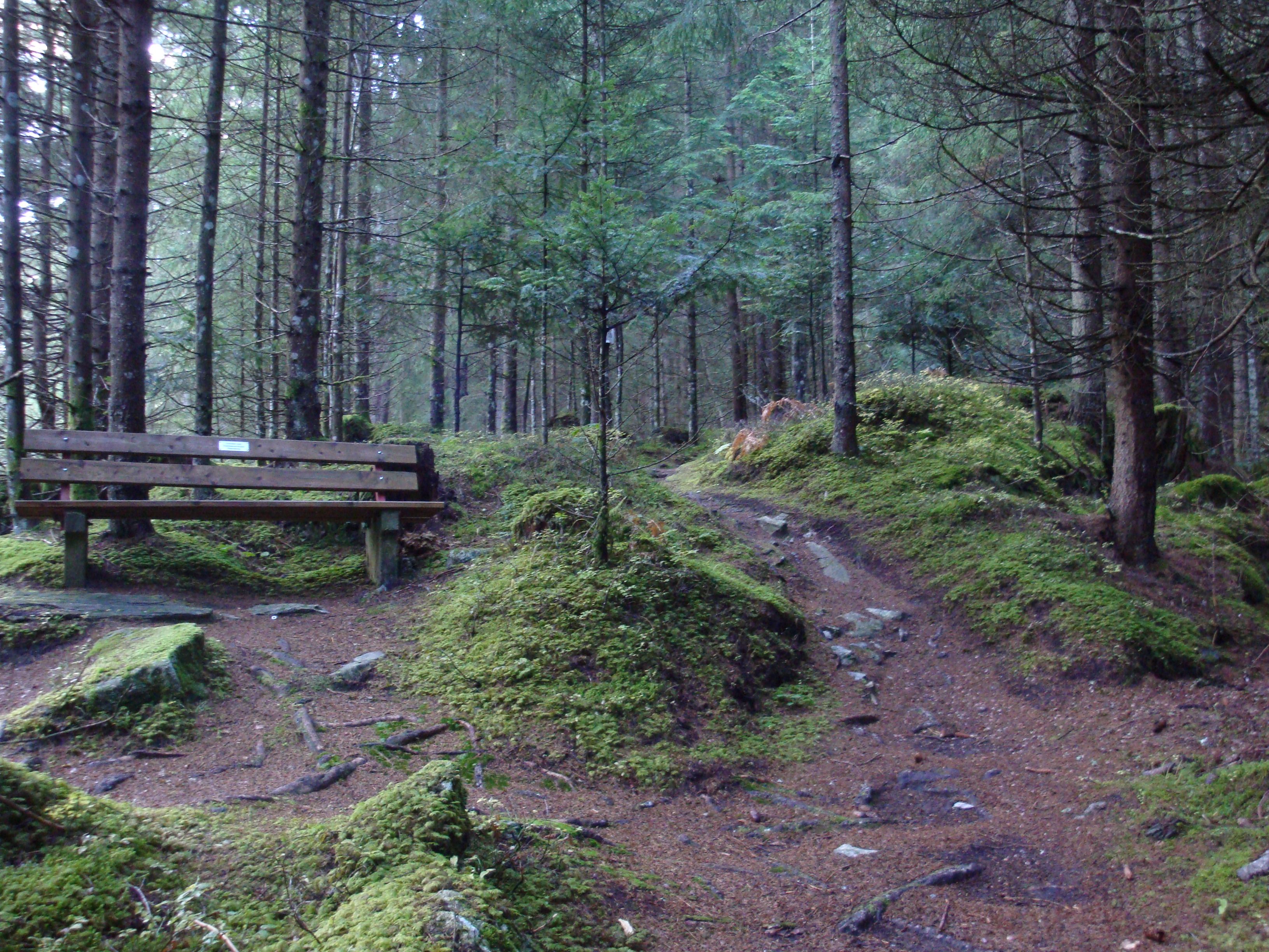
Beautiful, challenging route through a fabulous, rustic mountain forest with wonderful viewpoints!
Sports shoes with good thread sole – BETTER: light hiking shoes
Clotihing suitable for the weather
Sunscreen
Drinks and food
From the Teufelsbrücke (Devil's Bridge) straight on, past the Hotel Dornauhof (house no. 308). Immediately behind the hotel, uphill to the right, is the start of hiking trail no. 33 - Schumannweg, leading into the forest on the left across the meadows. Stay on this path until you reach the stone bridge just before the avalanche gallery. Pass the bridge, turn left and walk over the avalanche gallery to the Karlsteg inn, which is on the other side of the valley. Connecting hike to Ginzling possible.
TIP: Very beautiful, challenging route through a fabulous, rustic mountain forest with wonderful viewpoints!
Linienbus
4104
Bus stop Finkenberg Teufelsbrücke
Day parking lot Teufelsbrücke Finkenberg


.jpg")


.jpg")


