Hut hike Flathalm - trail Tobadill

Tobadill / Samnaungruppe
Difficulty ratings: medium
Route length: 10.5 km
Duration: 4:30 h

Beautiful hike from Tobadill on the forest road up to Flathalm.

Tour information

  • Requirement: medium
  • Length: 10.5 km
  • Duration: 4:30 h
  • Elevation uphill:567 hm
  • Elevation downhill:565 hm
Highest point1,710 m

Starting point

Tobadill parish church

Finishing point

Tobadill parish church
  • Fitness level 3 / 6
  • Technique 3 / 6

Features

  • Circular route

Best time of year

  • January
  • February
  • March
  • April
  • May
  • June
  • July
  • August
  • September
  • October
  • November
  • December

Trail condition

Asphalt, forest road, steep path
Source: Tirol West

Description

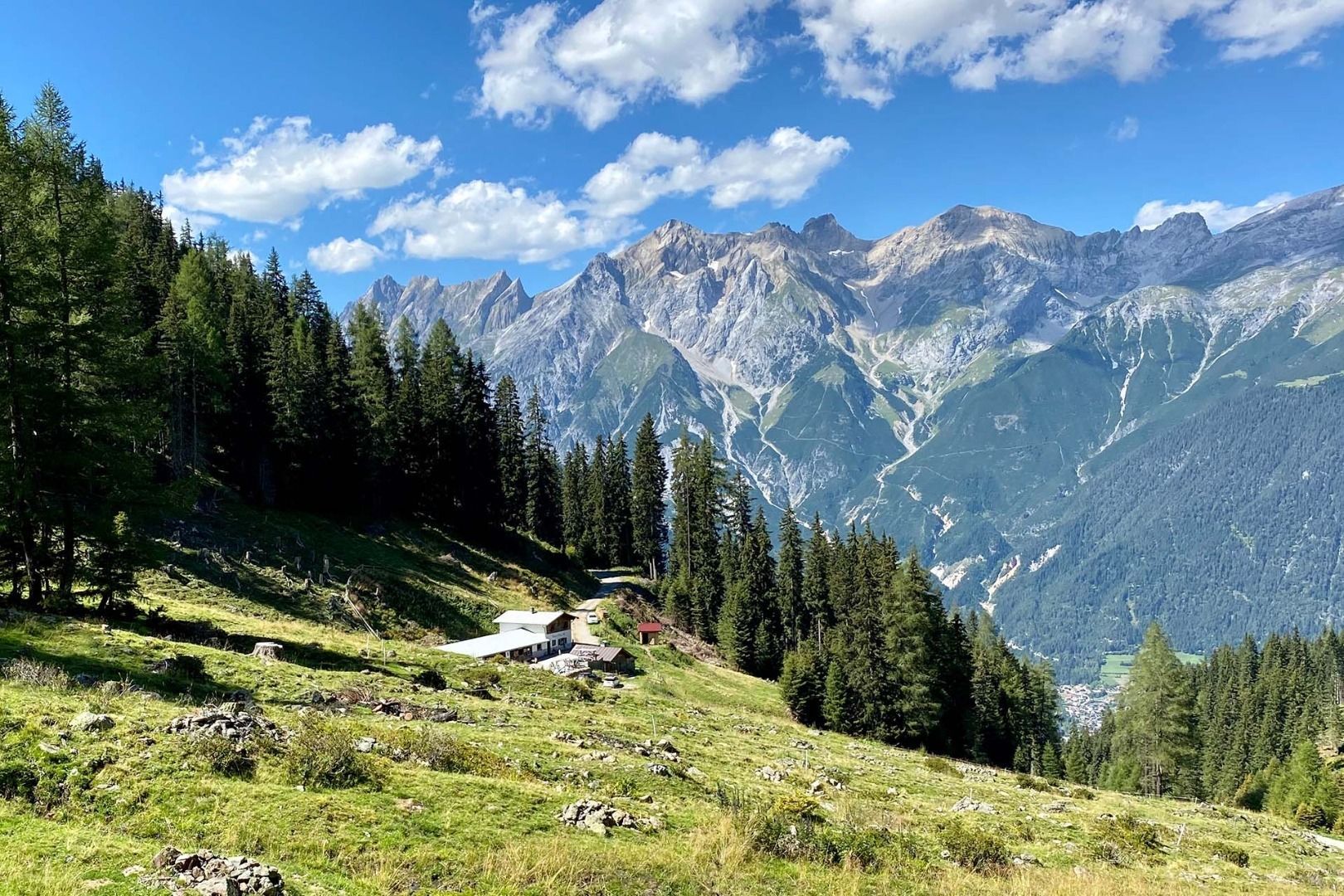
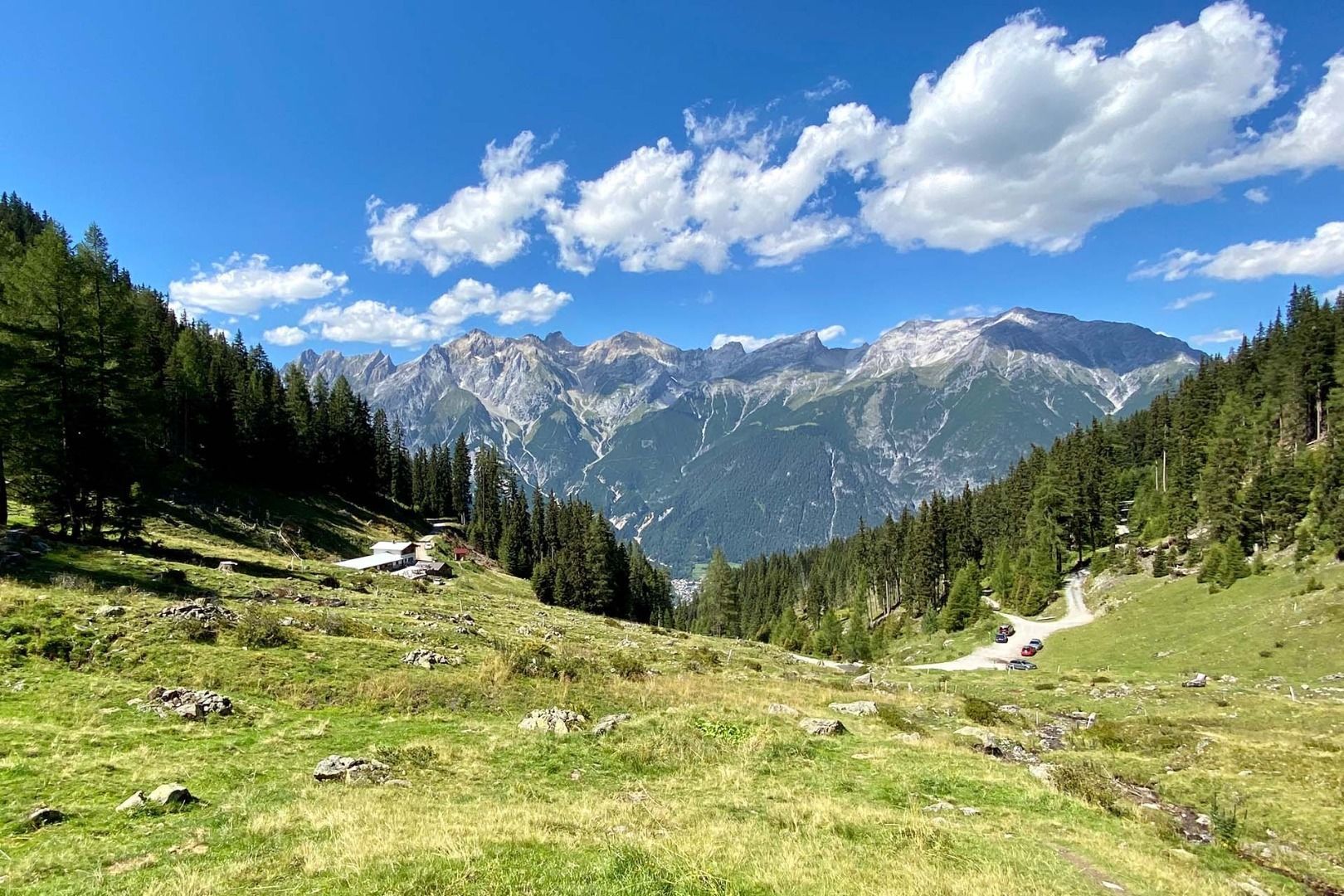
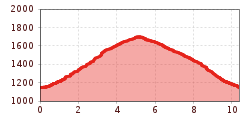
Starting at the church in Tobadill first follow the road to Ruetzen. Behind the bridge change to the forest trail, which leads you up to Flathalm (1,687 m). You can take the signed shortcut, which is steeper and therefore a bit more challenging. To get back to Tobadill we would recommend you taking the less steep forest trail, which starts directly at the pasture and leads you west through the forest towards Giggle. This path takes you to the road towards Giggle after about 4.2 km. After another 800 m you get back to your starting point in Tobadill.

Nearby huts and mountain restaurants

More tours in the surrounding area

Newsletter

The mountain is calling? So does our newsletter!

In our monthly newsletter we reveal the best holiday tips for Tyrol.