


Difficulty:difficult
Length:66.4 kmDuration:5 daysElevation uphill:5,496 m
Idyllic mountain lakes and hut flair meet challenging summit experiences - Tyrol plays all its trump cards on this stage. It is both alpine and breathtaking. As experienced mountaineers, we look forward to the challenges of the route and the idyllic culinary delights at the stage finish.
Demanding stage on black mountain paths. Sure-footedness, a head for heights and alpine experience required for steep climbs, rope-insured climbing tracks, steep mountain meadow slopes, rocks, flanks, cirques and ridges. A very good level of fitness is required.
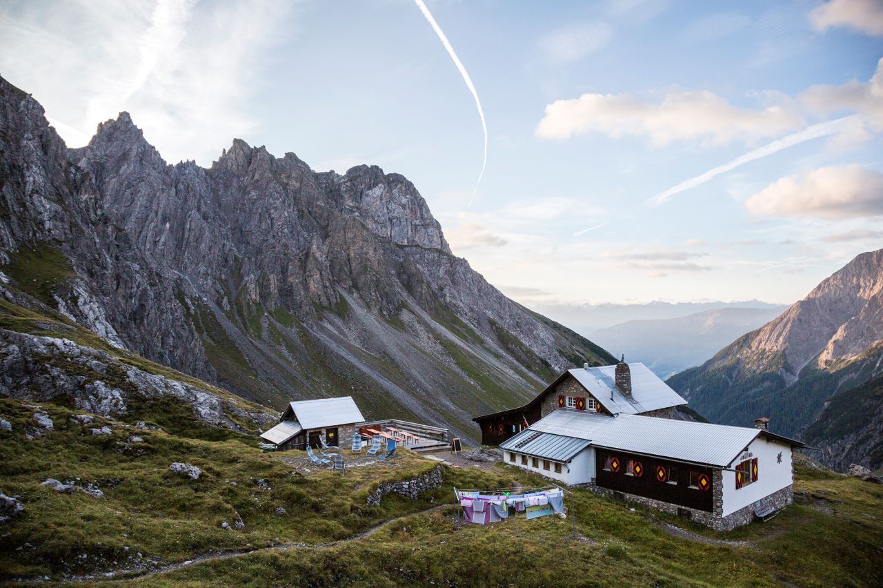
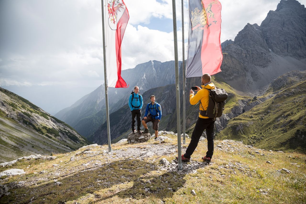
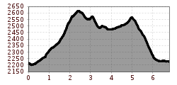
trail description: First, descend a few metres from Württemberger Haus Lodge (attention due to remodeling work Württemberger Haus is closed 2025 - alternate hut is Steinseehütte) on a singletrack trail. Then, the route crosses gently ascending tussock slopes and a scree slope before leading across a partly steep rock-strewn grass flank, assisted by a fixed anchoring system of cables, to the ridge. Now, climb up to the summit of Großbergspitze Peak with its simple timber cross, alternately on the left and right side of the ridge on a relatively level path heading northward. Catch your breath and scan the horizon. How many of the summits of the Lechtal Alps can you identify? From Großbergspitze Peak, the route gently descends along the spine of the ridge for a short distance. The trail climbs to a rock outcrop that has permanently fixed cables for protection. Then, it’s just a few steps up to Großbergkopf Mountain. Now, the route steeply descends on an exposed rubble-strewn singletrack trail left of the ridge, passing Großbergjoch Saddle. Thereafter, the trail crosses tussock slopes, descending for a short distance, but soon resumes its climb, traverses a rubble cirque and runs up to Seescharte Notch. The last rocky run will tax your strength and endurance, but finally you'll be atop the notch. Beyond the notch, the trail descends across scree, talus and earthy soil; it runs above a little ravine and leads into a world of wide open meadows. Finally, pass the largest lake around the hut before arriving at the destination end: Memminger Hut sits in a rugged bowl at an elevation 2,242 metres under the reign of majestic peaks.


