Hut hike Hike to Gogles Alm

Fliess / Ötztal Alps
Difficulty ratings: medium
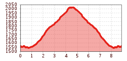
Route length: 8.9 km
Duration: 3:15 h

Hike to Gogles Alm

Tour information

  • Requirement: medium
  • Length: 8.9 km
  • Duration: 3:15 h
  • Elevation uphill:550 hm
  • Elevation downhill:550 hm
Highest point2,018 m

Starting point

parking space Gogles Alm or the bus stop Fließ Abzw. Gogles Alm

Finishing point

parking space Gogles Alm or the bus stop Fließ Abzw. Gogles Alm
  • Fitness level 2 / 6
  • Technique 3 / 6

Best time of year

  • January
  • February
  • March
  • April
  • May
  • June
  • July
  • August
  • September
  • October
  • November
  • December

Trail condition

forest path, track
Source: TVB Pitztal

Description

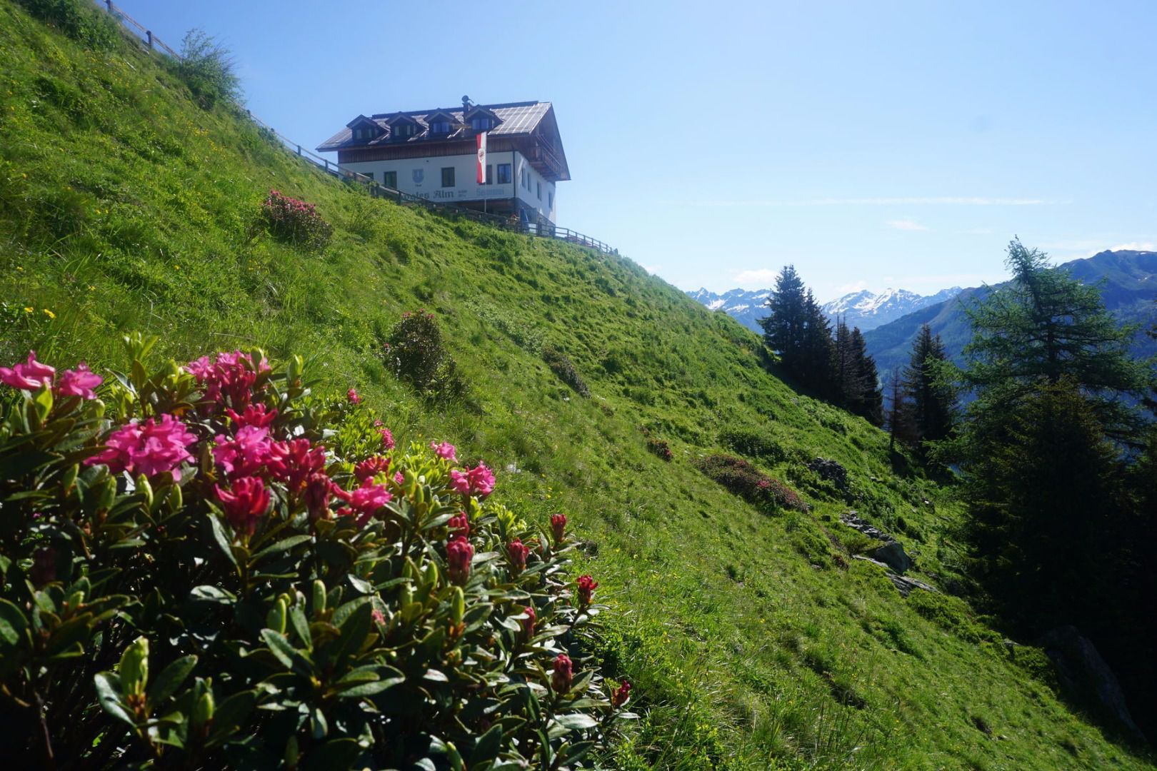
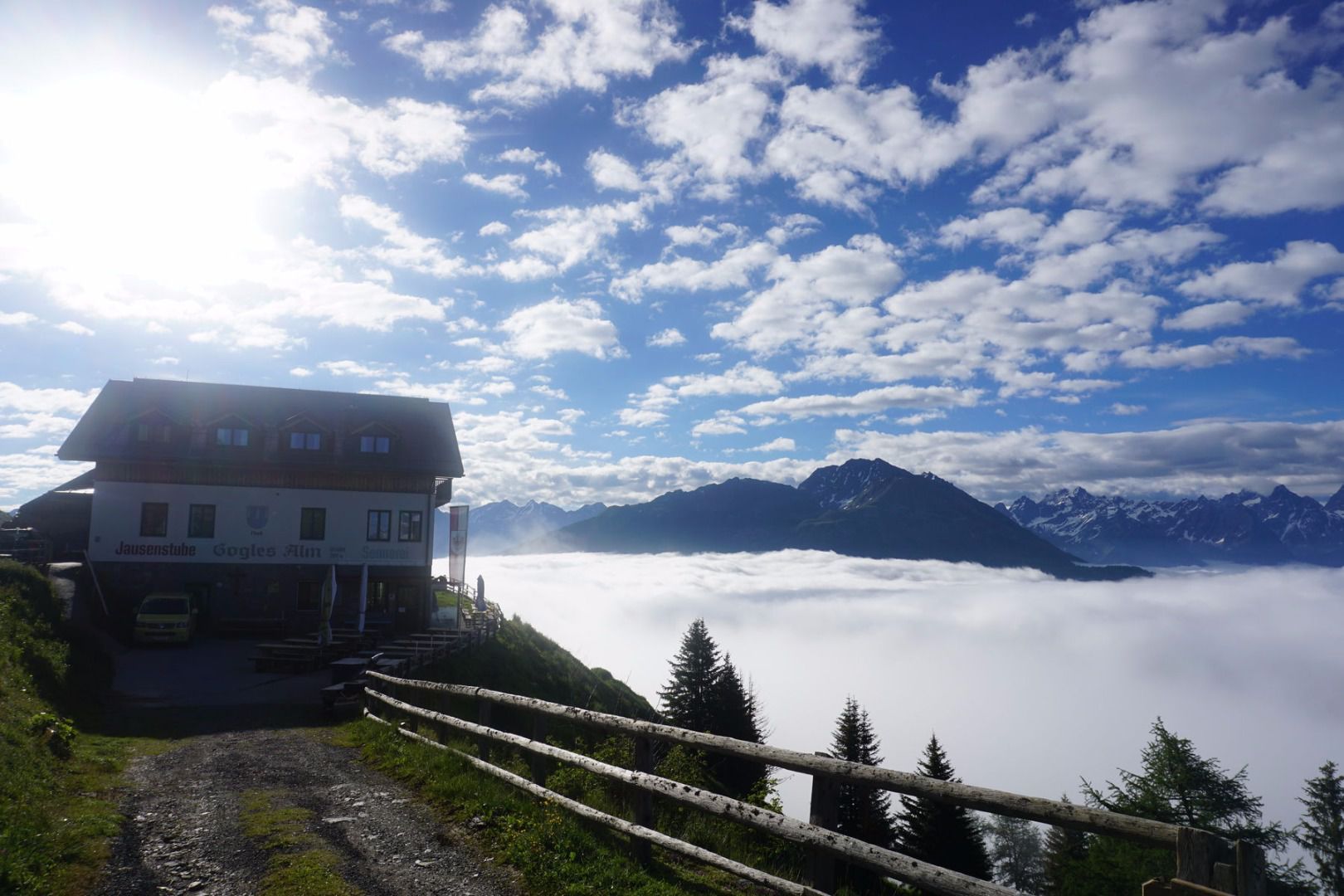
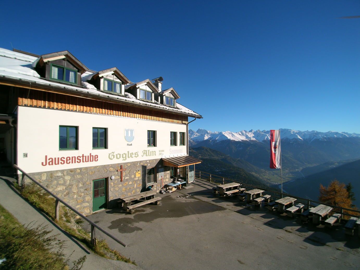
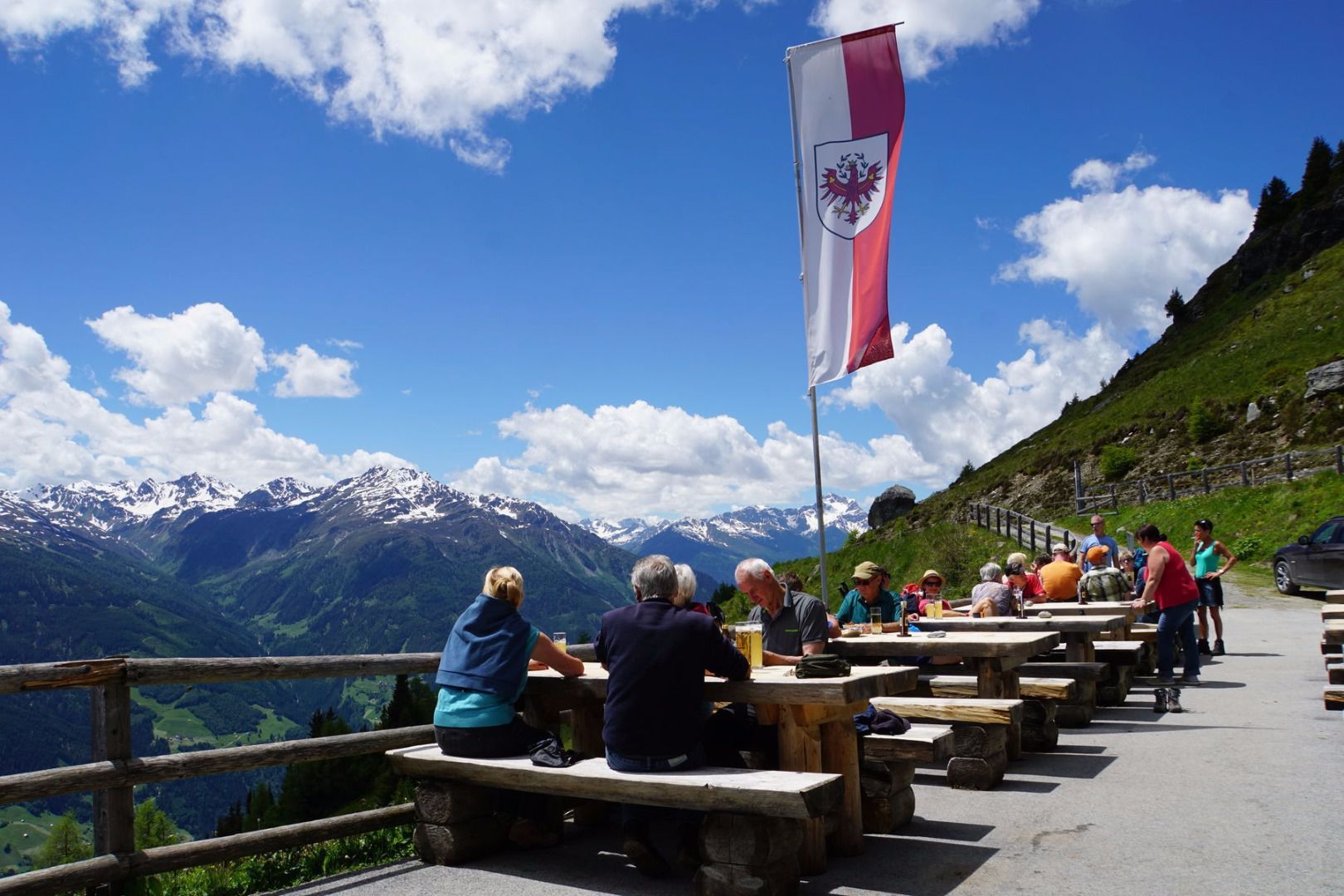
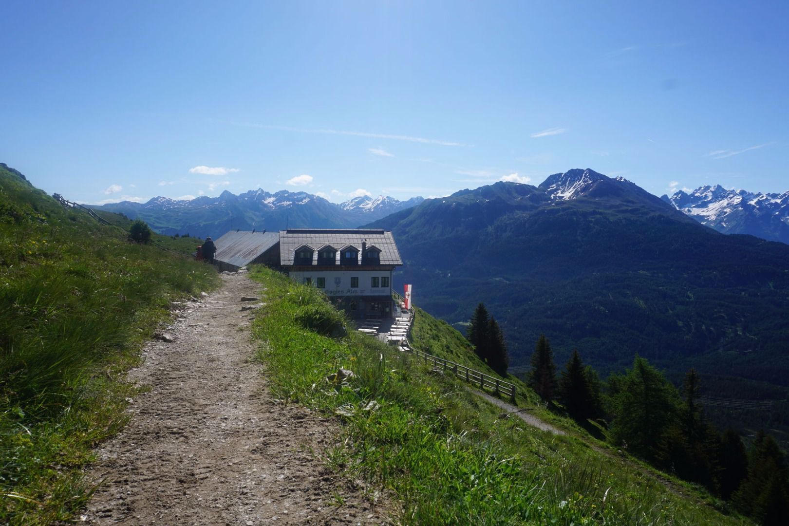
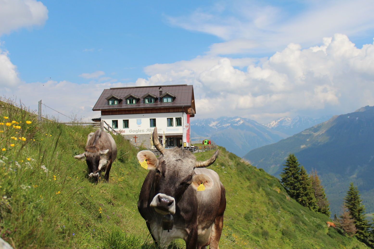
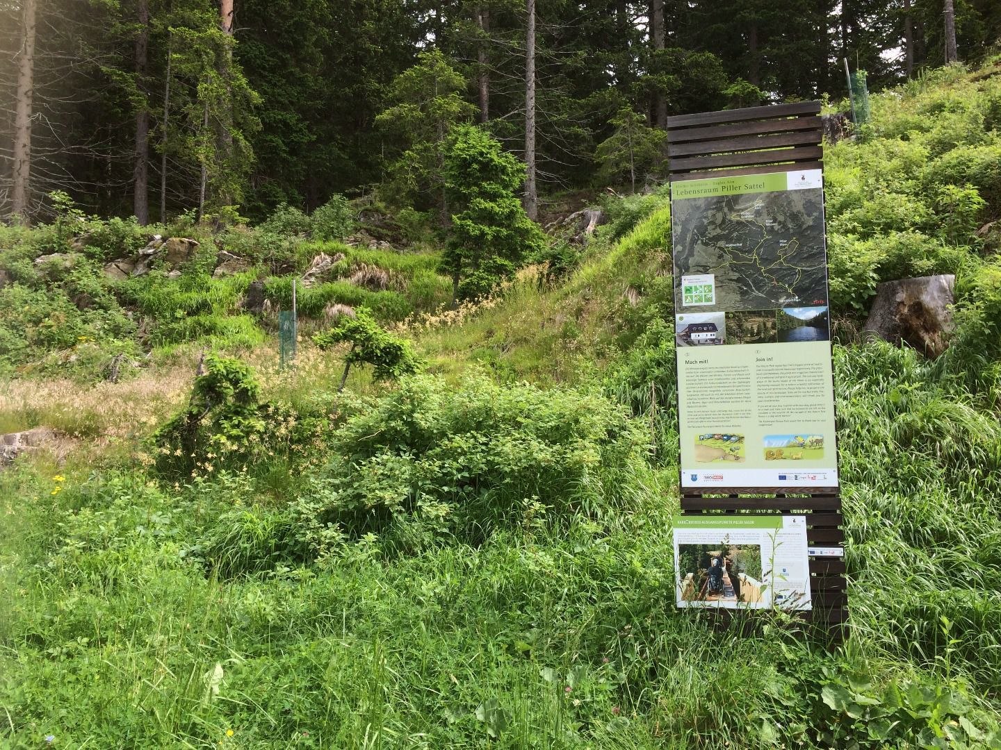
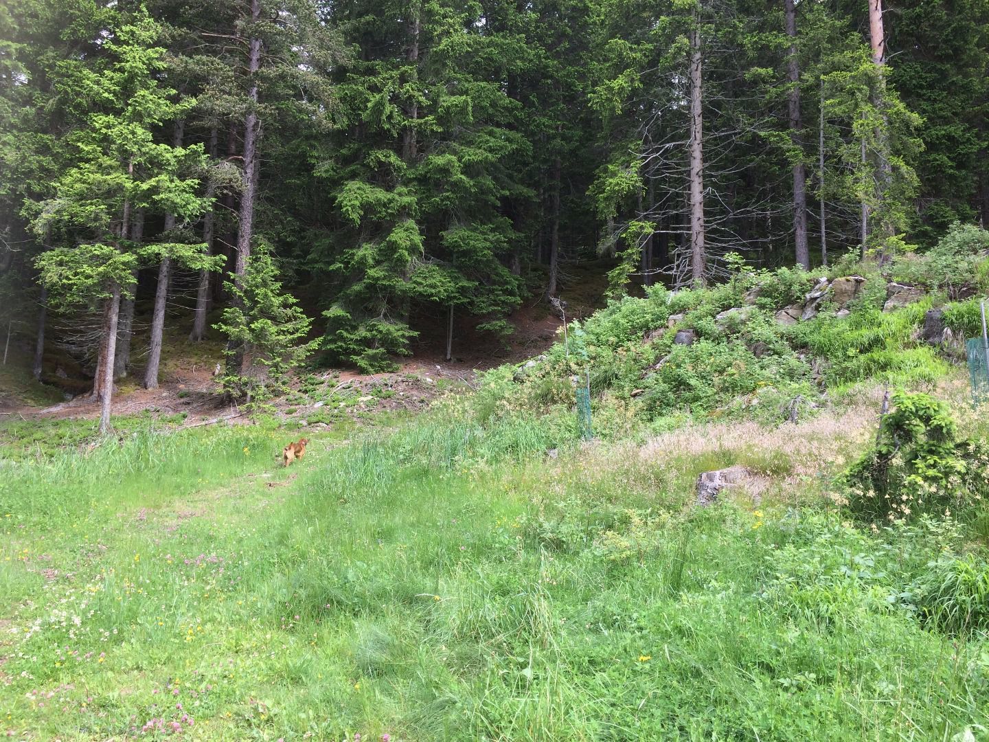
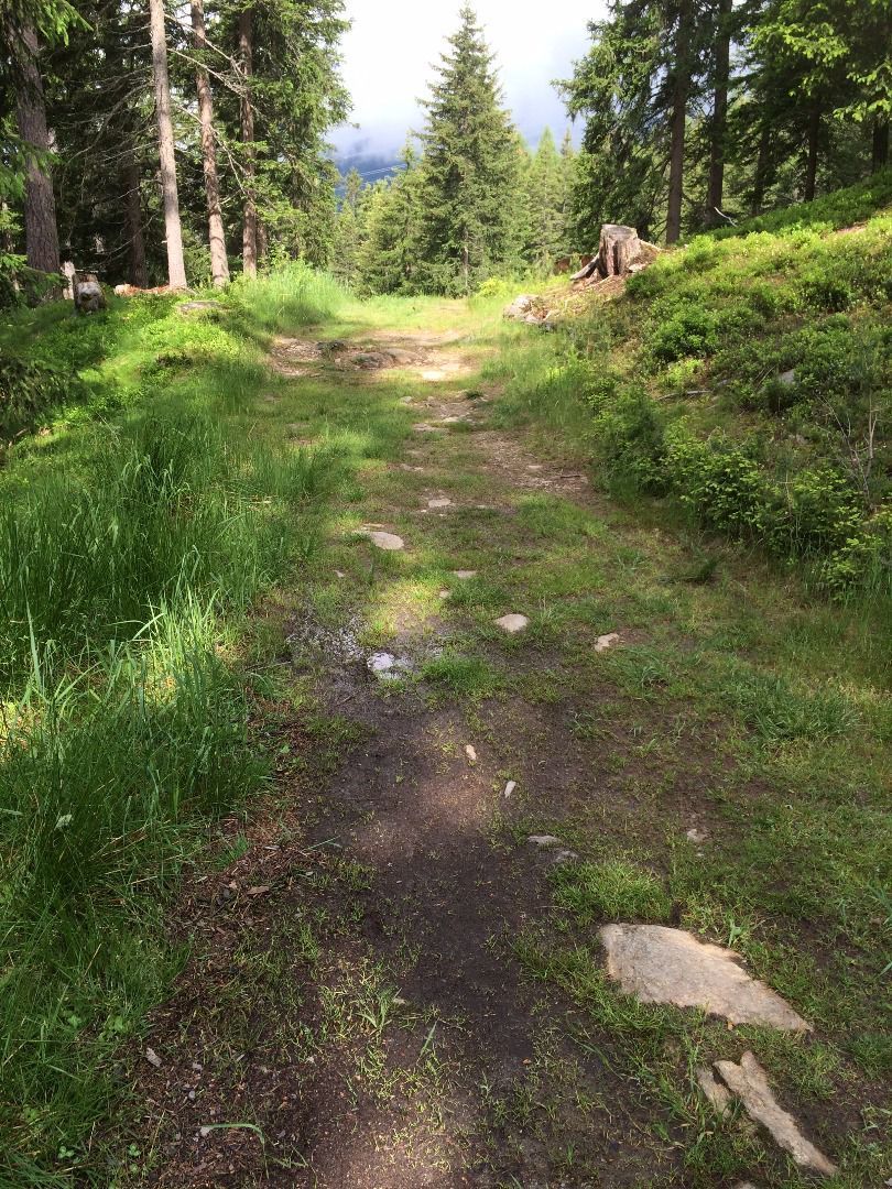
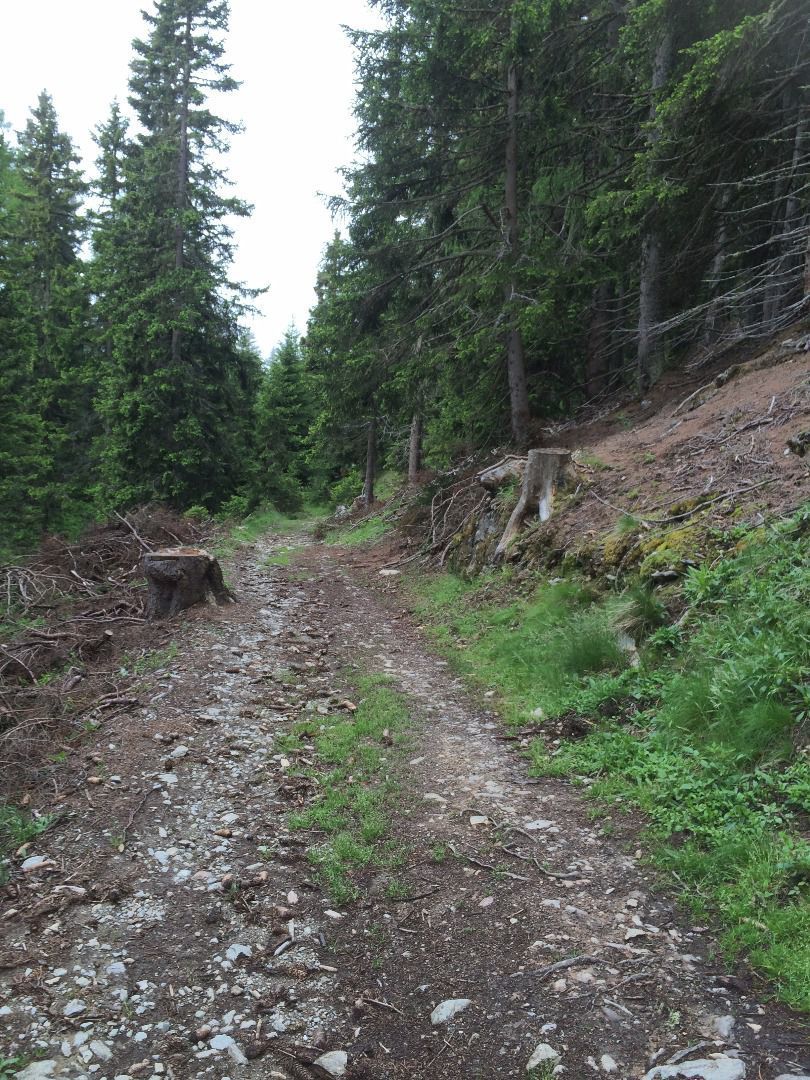
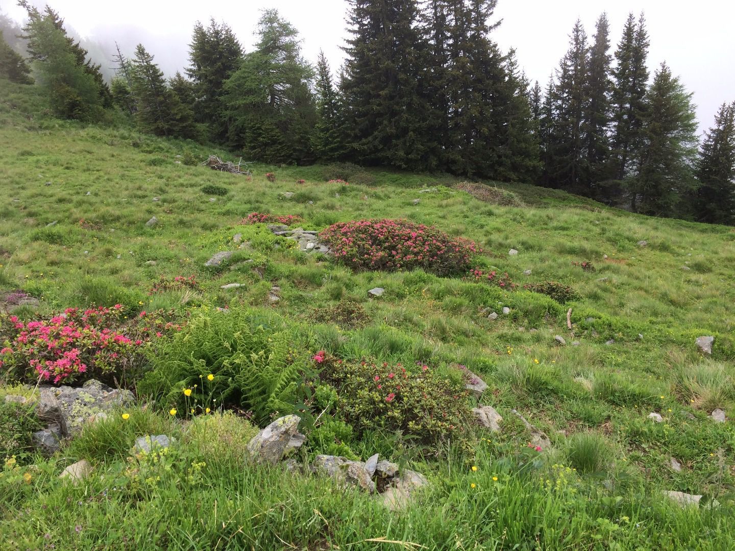
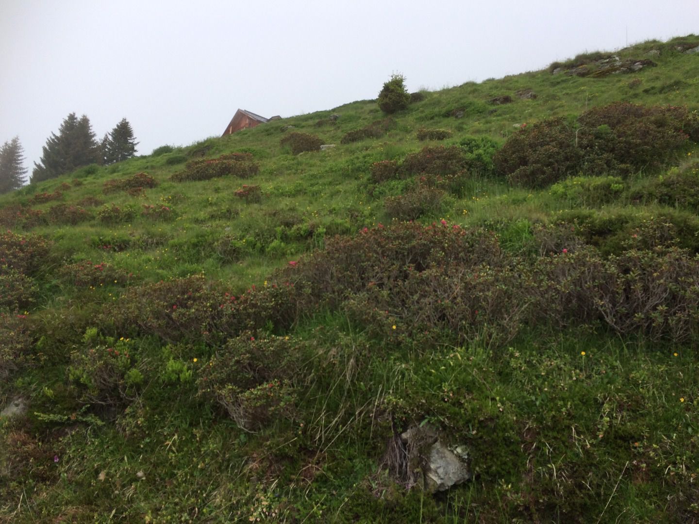
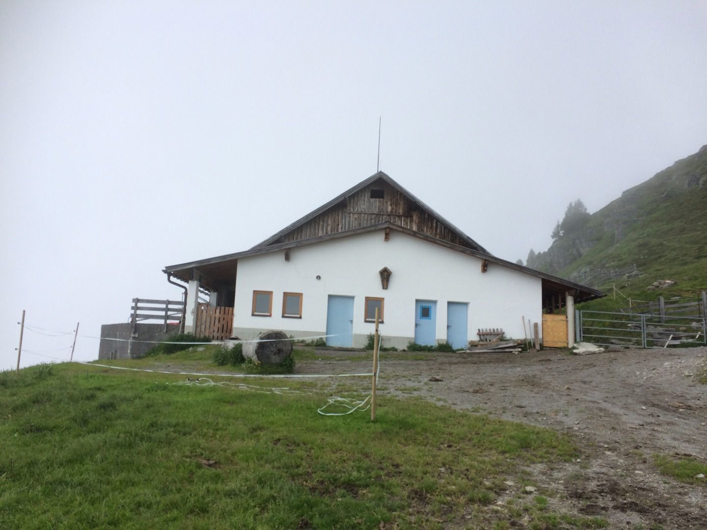
After crossing the street, the route follows an idyllic forest trail, then a short stretch along a forest road, and continues across expansive alpine meadows to the Gogles Alm, which you’ll reach from the back. A few meters further on is the main entrance with its sunny terrace and a magnificent view.

You can choose to return either along the same route or via the road. The road route is flatter but slightly longer.

Getting here

  • Arrival by public transport

    The Fließ Abzw. Gogles bus stop is located right at the starting point.

  • Parking

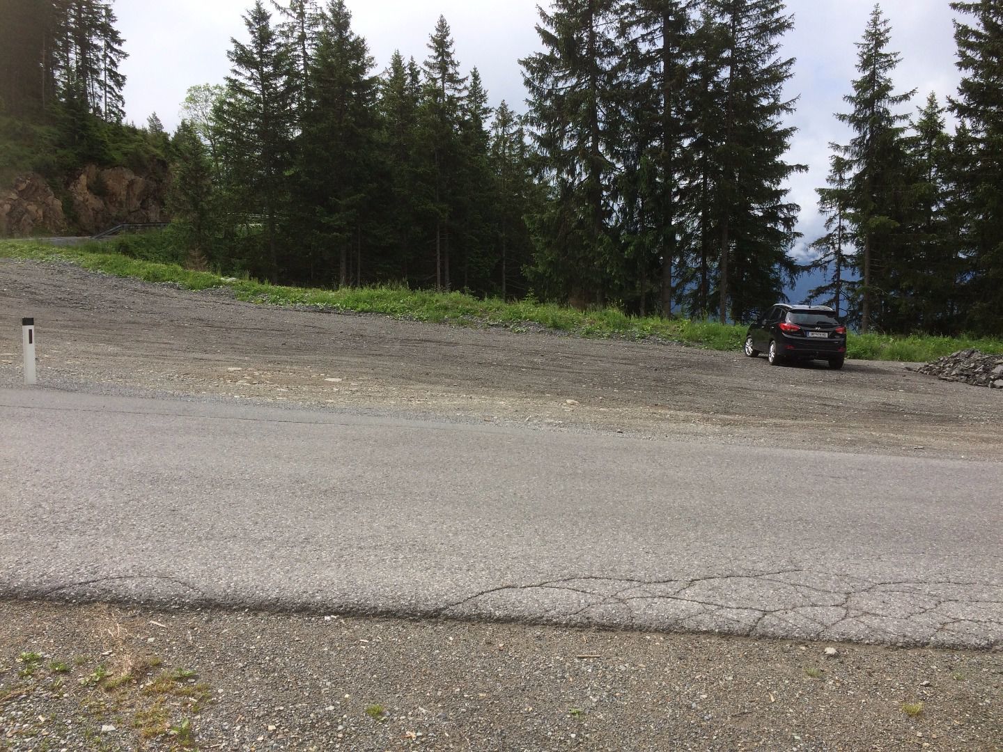
    Parking is available at the Gogles Alm parking lot, right next to the road.

Weather

Today

clear sky
33°C/16°C
15%2.6l5 km/h

Mon

light rain showers
32°C/17°C
50%1.1l5 km/h

Tue

light rain showers
30°C/17°C
50%5.1l5 km/h
Go to weather forecast

More tours in the surrounding area

Newsletter

The mountain is calling? So does our newsletter!

In our monthly newsletter we reveal the best holiday tips for Tyrol.