Mountain hikes Fließ - Gogles Alm - Glanderspitze

Fliess / Ötztaler Alpen
Difficulty ratings: medium
Route length: 8.4 km
Duration: 3:45 h

Beautiful hike from the car park above the turn-off towards Gogles Alm up to Gogles Alm 2,017m.

Tour information

  • Requirement: medium
  • Length: 8.4 km
  • Duration: 3:45 h
  • Elevation uphill:522 hm
  • Elevation downhill:522 hm
Highest point2,017 m

Starting point

Fließ Dorf

Finishing point

Glanderspitze
  • Fitness level 3 / 6
  • Technique 3 / 6

Best time of year

  • January
  • February
  • March
  • April
  • May
  • June
  • July
  • August
  • September
  • October
  • November
  • December

Trail condition

Asphalt, Forstweg, Steig
Source: TVB TirolWest

Description

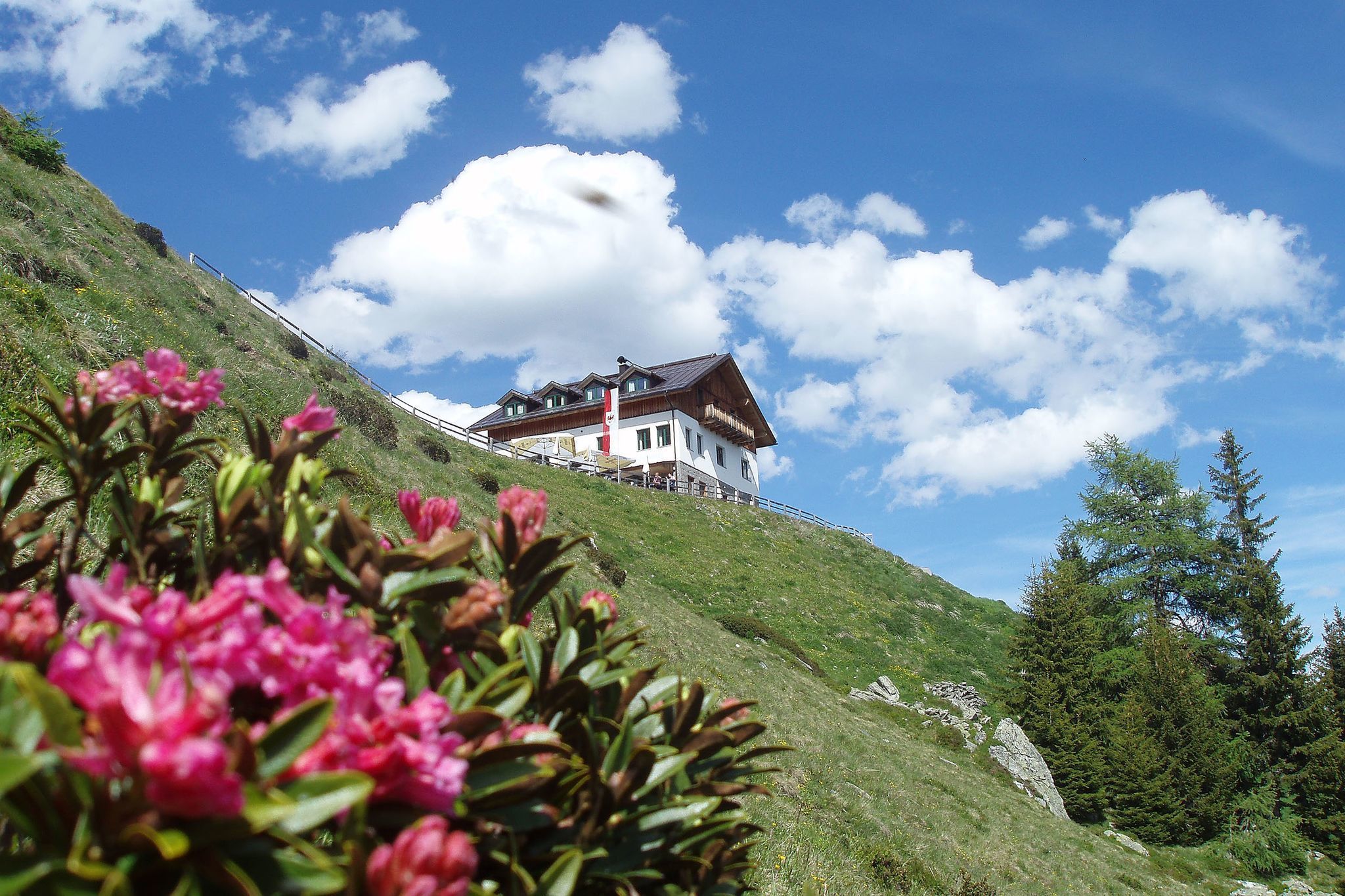
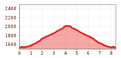
From the car park on the Piller Straße above the Gogles Alm junction, the well-marked trail leads up to the Gogles Alm at 2,017 m.

Nearby huts and mountain restaurants

  • Gogles Alm (2.017m)

    Opening hours:Open today
    Place: Fließ
    : Restaurant, Tavern, Alpine pasture / hut / mountain restaurant

Getting here

  • Arrival by public transport

    Nature park bus to the ‘Fließ Abzw. Gogles’ stop

  • Parking

    Car park at the Gogles Alm turn-off

More tours in the surrounding area

Newsletter

The mountain is calling? So does our newsletter!

In our monthly newsletter we reveal the best holiday tips for Tyrol.