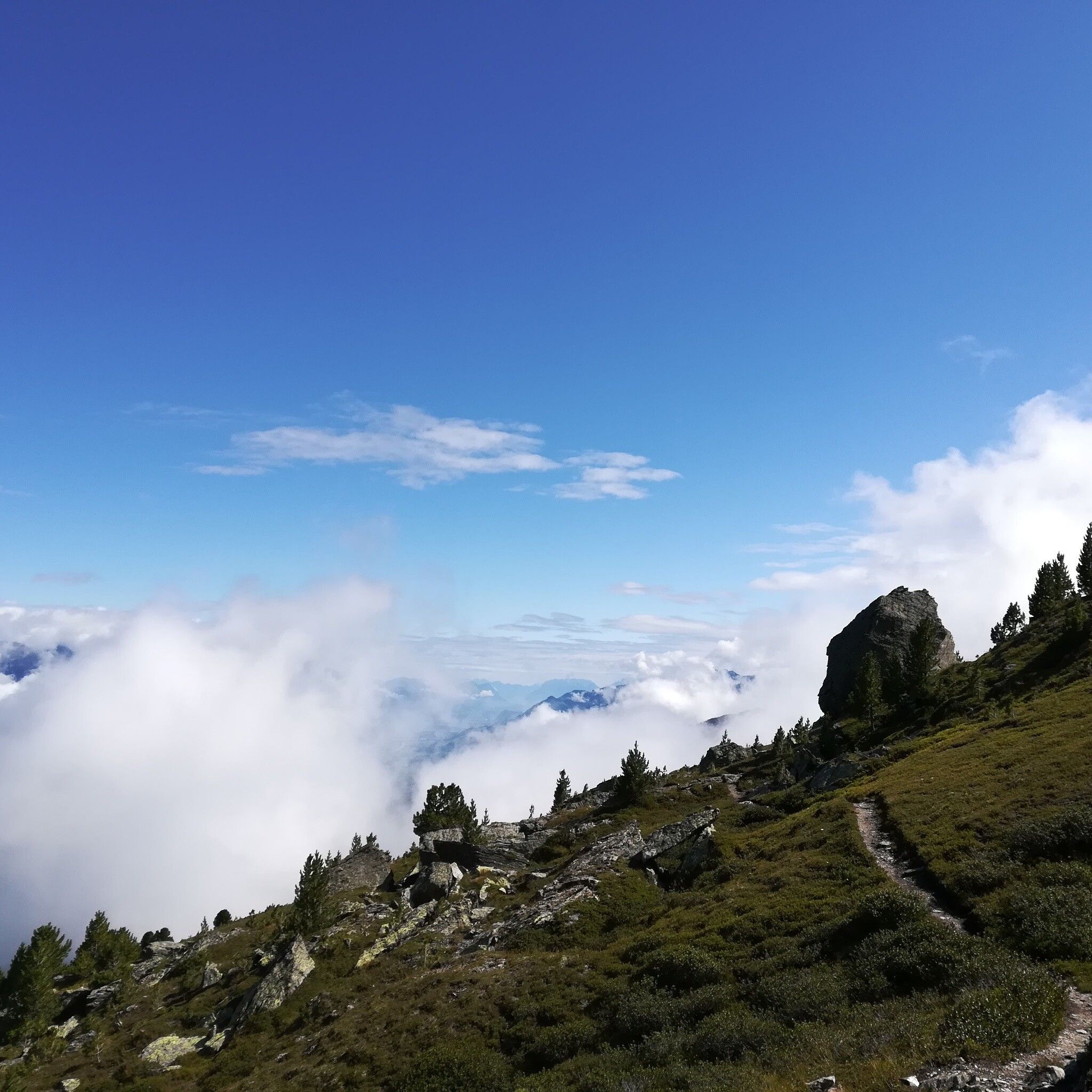
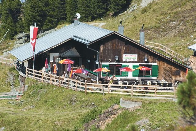
Mountain hikes Four summit route along the Glungezer High Trail

Patsch / Tux Alps
Difficulty ratings: difficult
Route length: 14.6 km
Duration: 5:00 h

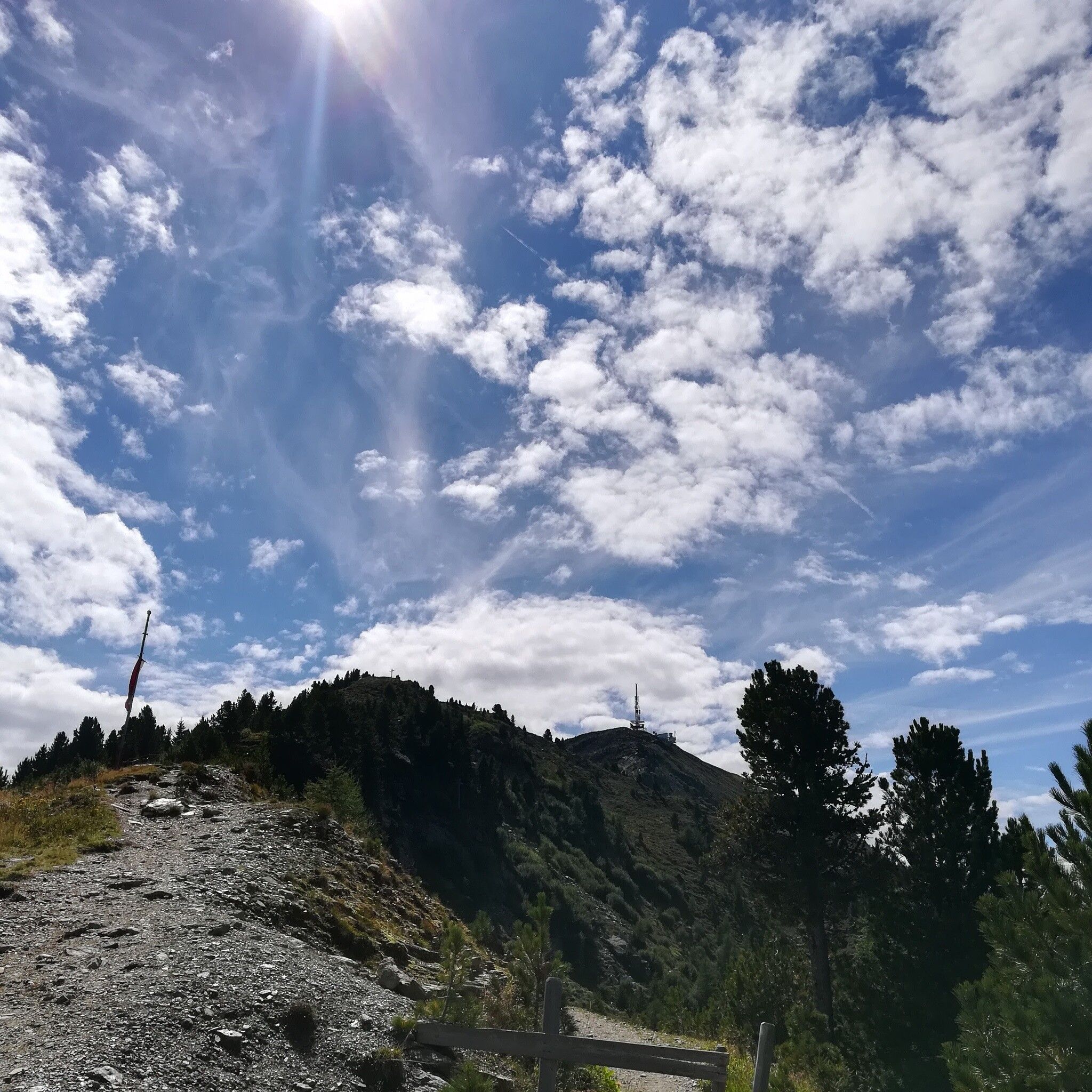
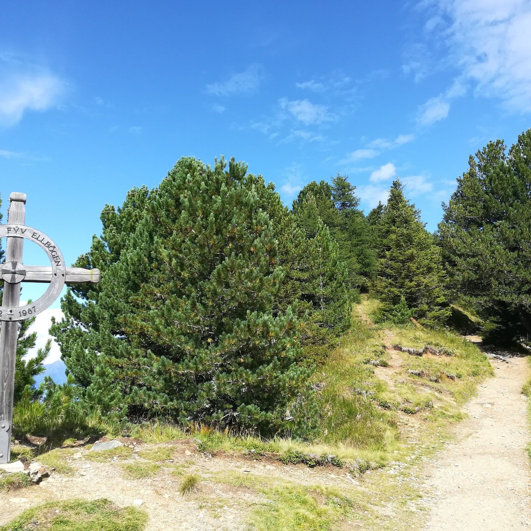
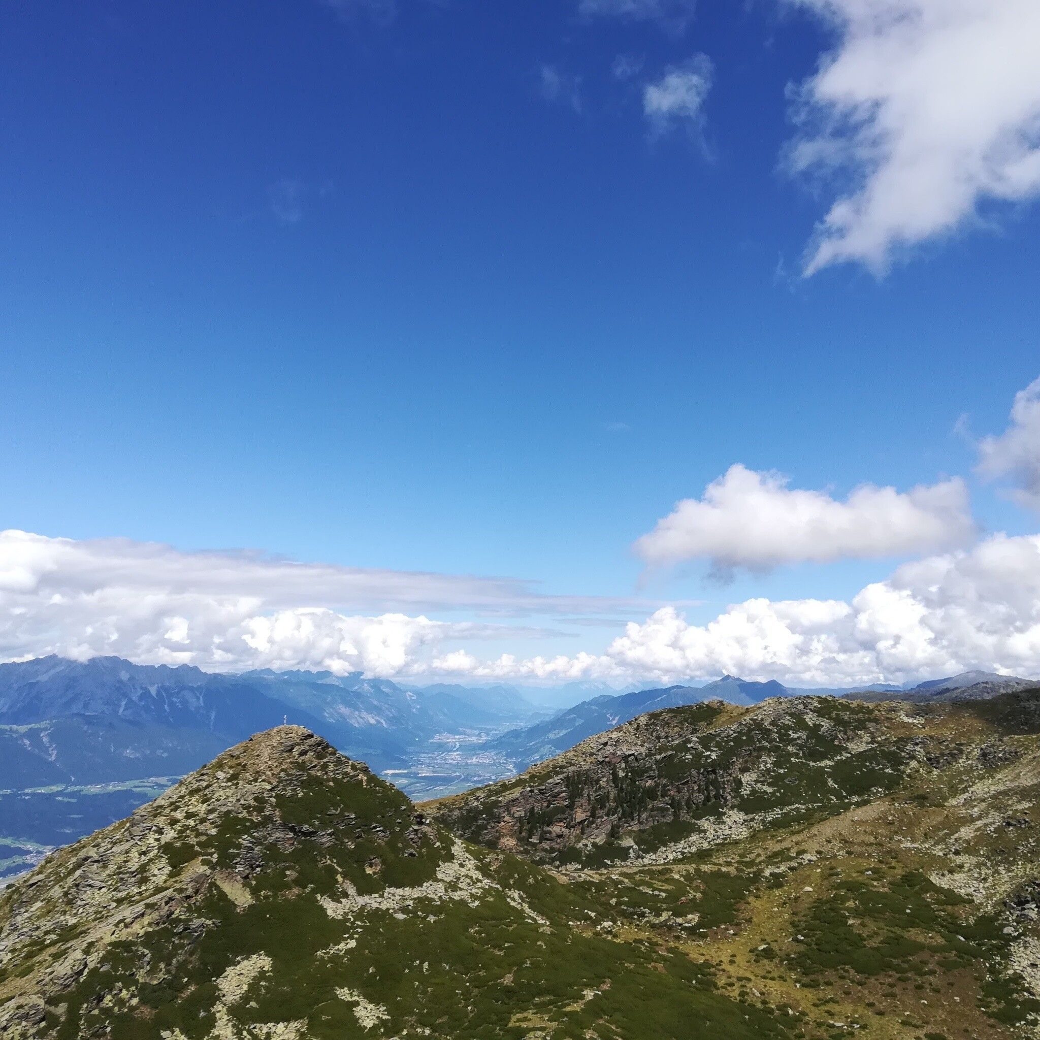
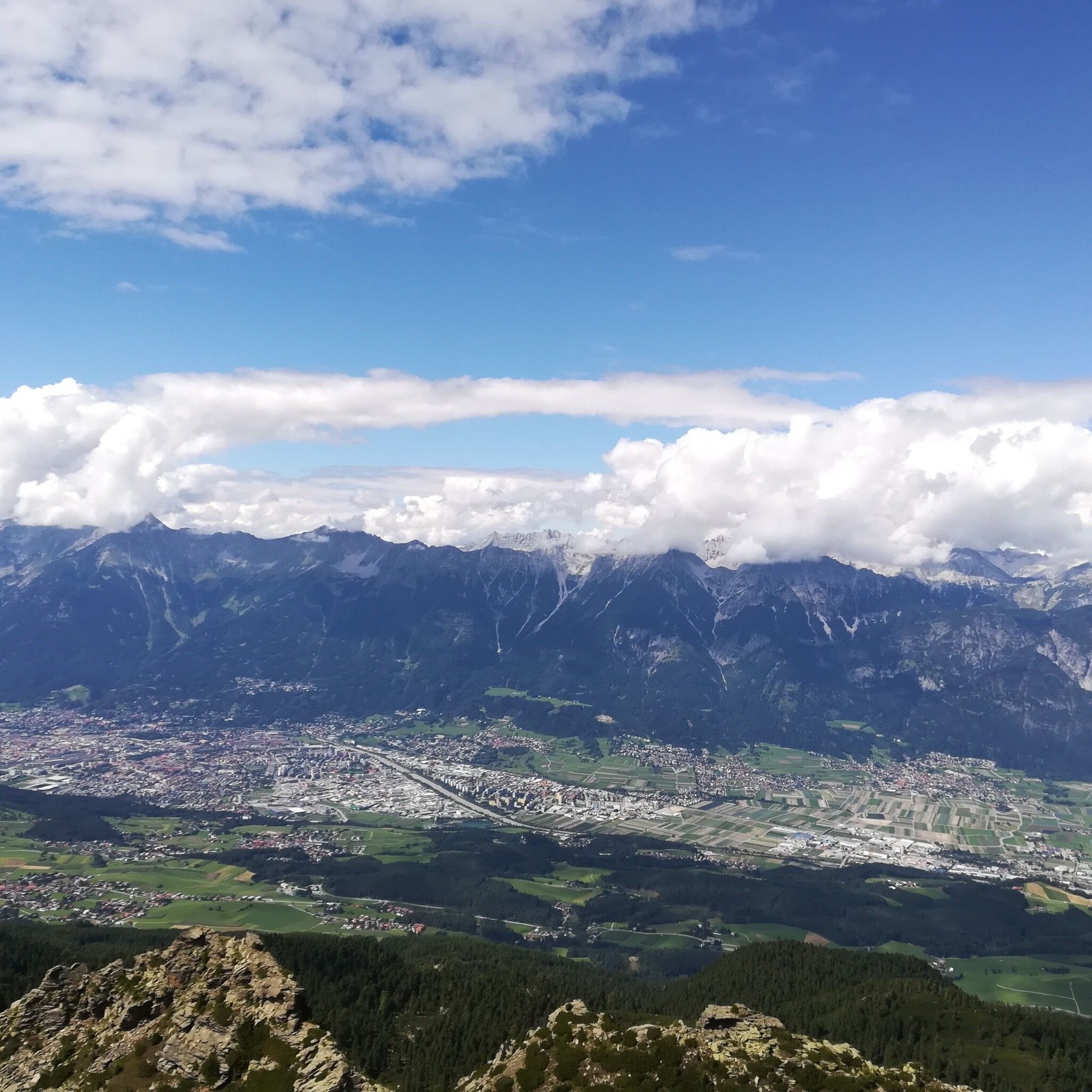
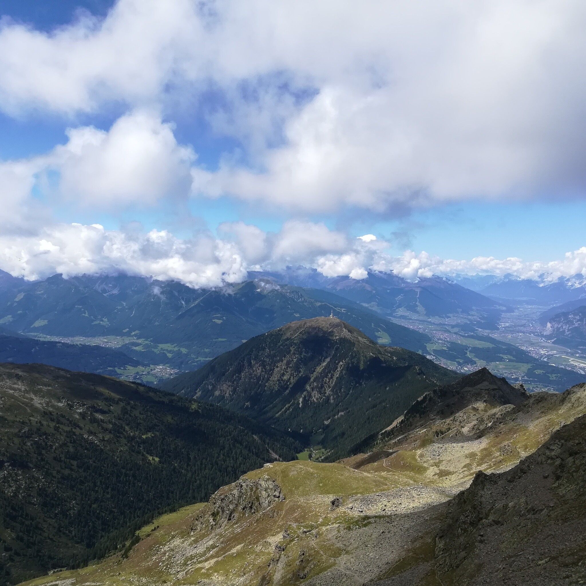
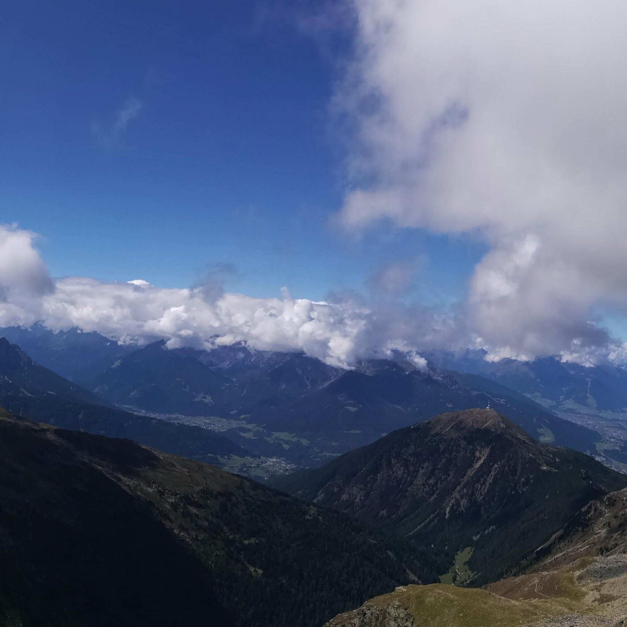
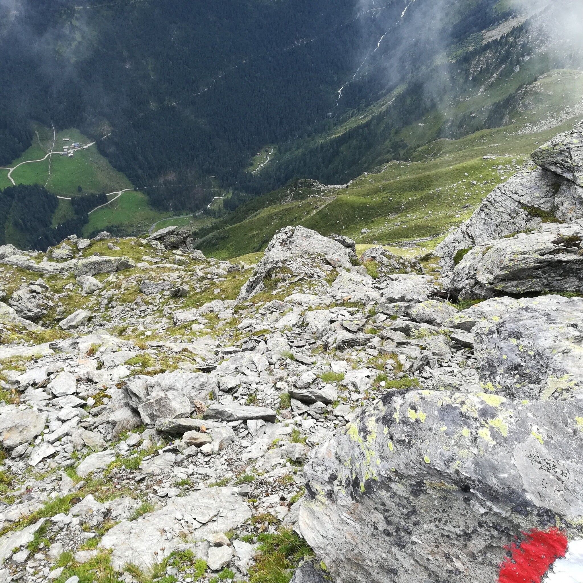
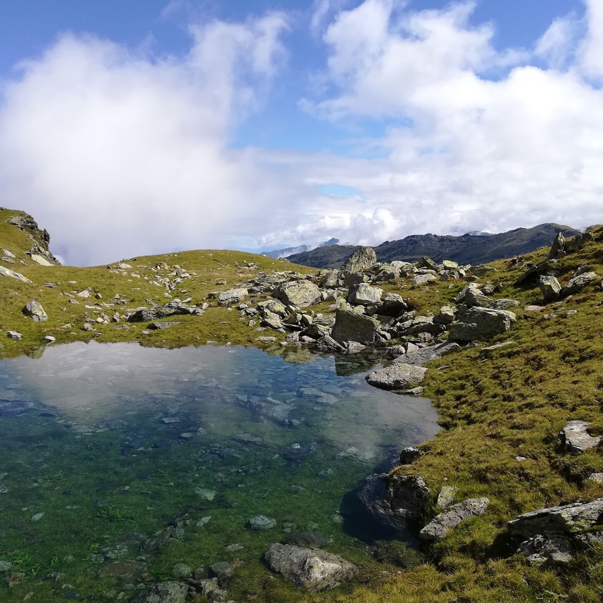
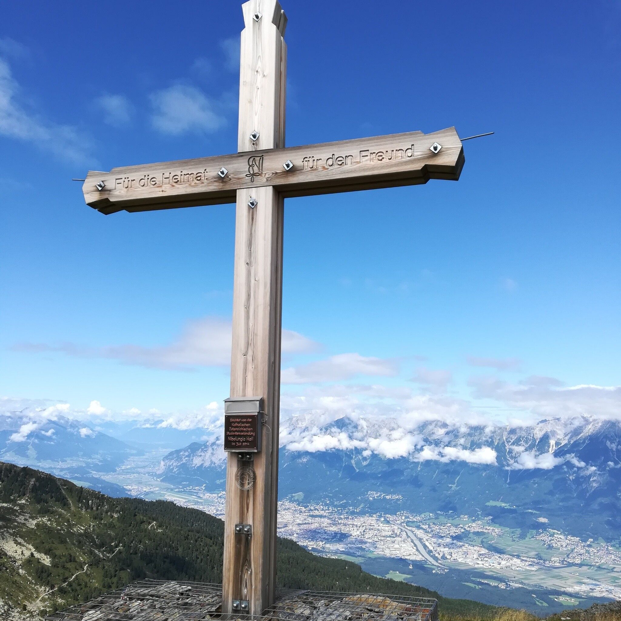
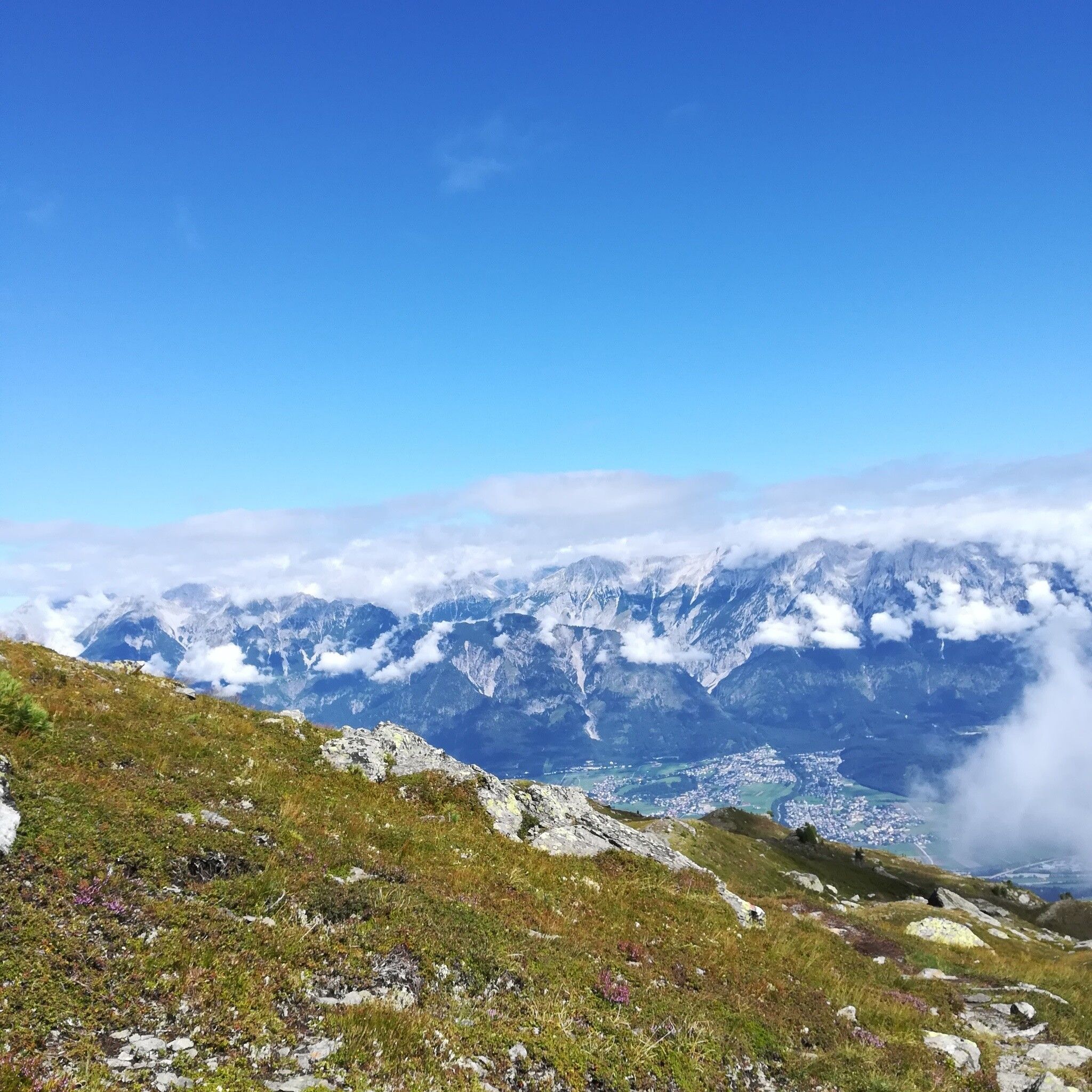
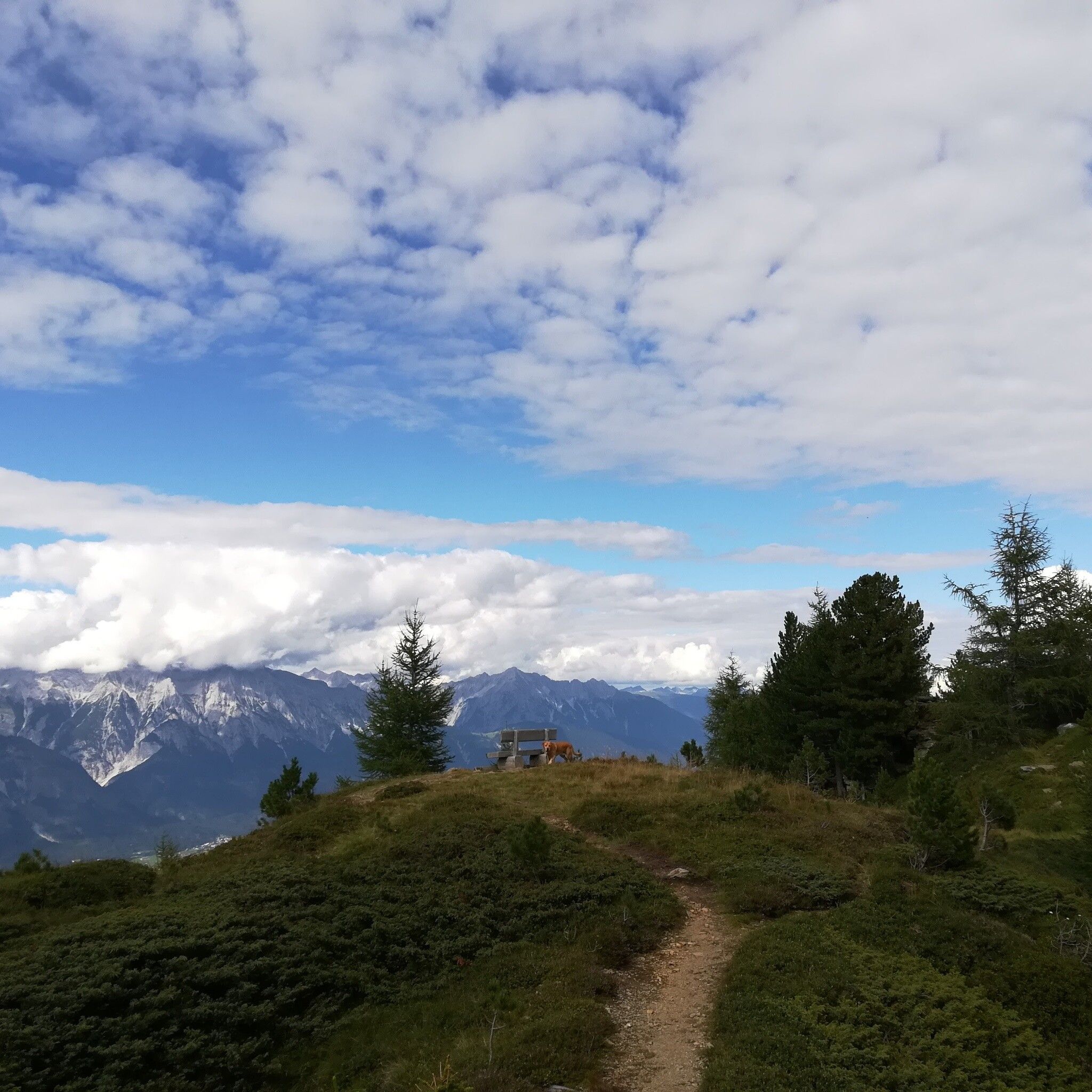
Off the well-trodden Zirbenweg with a view into the idyllic Viggartal.
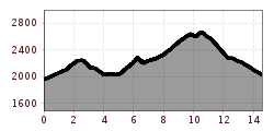
Tour information

  • Requirement: difficult
  • Length: 14.6 km
  • Duration: 5:00 h
  • Elevation uphill:1,077 hm
  • Elevation downhill:1,008 hm
Highest point2,668 m

Starting point

Patscherkofel

Finishing point

Glungezer
  • Fitness level 5 / 6

Best time of year

  • January
  • February
  • March
  • April
  • May
  • June
  • July
  • August
  • September
  • October
  • November
  • December

Equipment

Please be sure to plan the last descent of the cable car in advance!


Source: Hall Wattens

Description

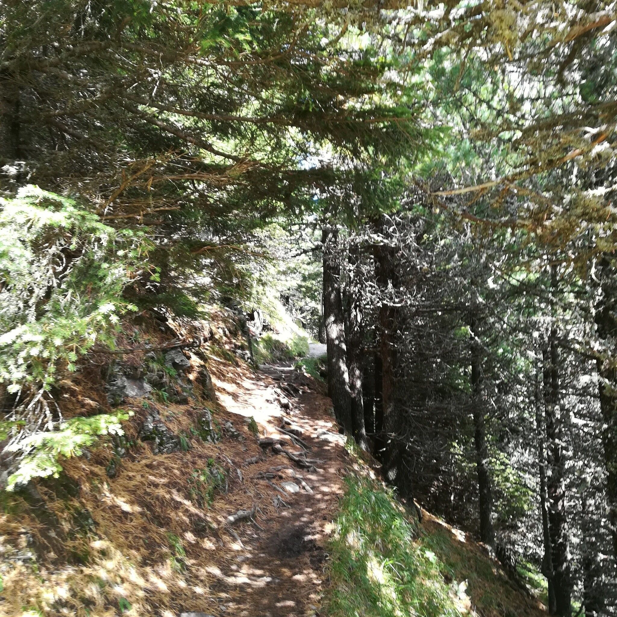
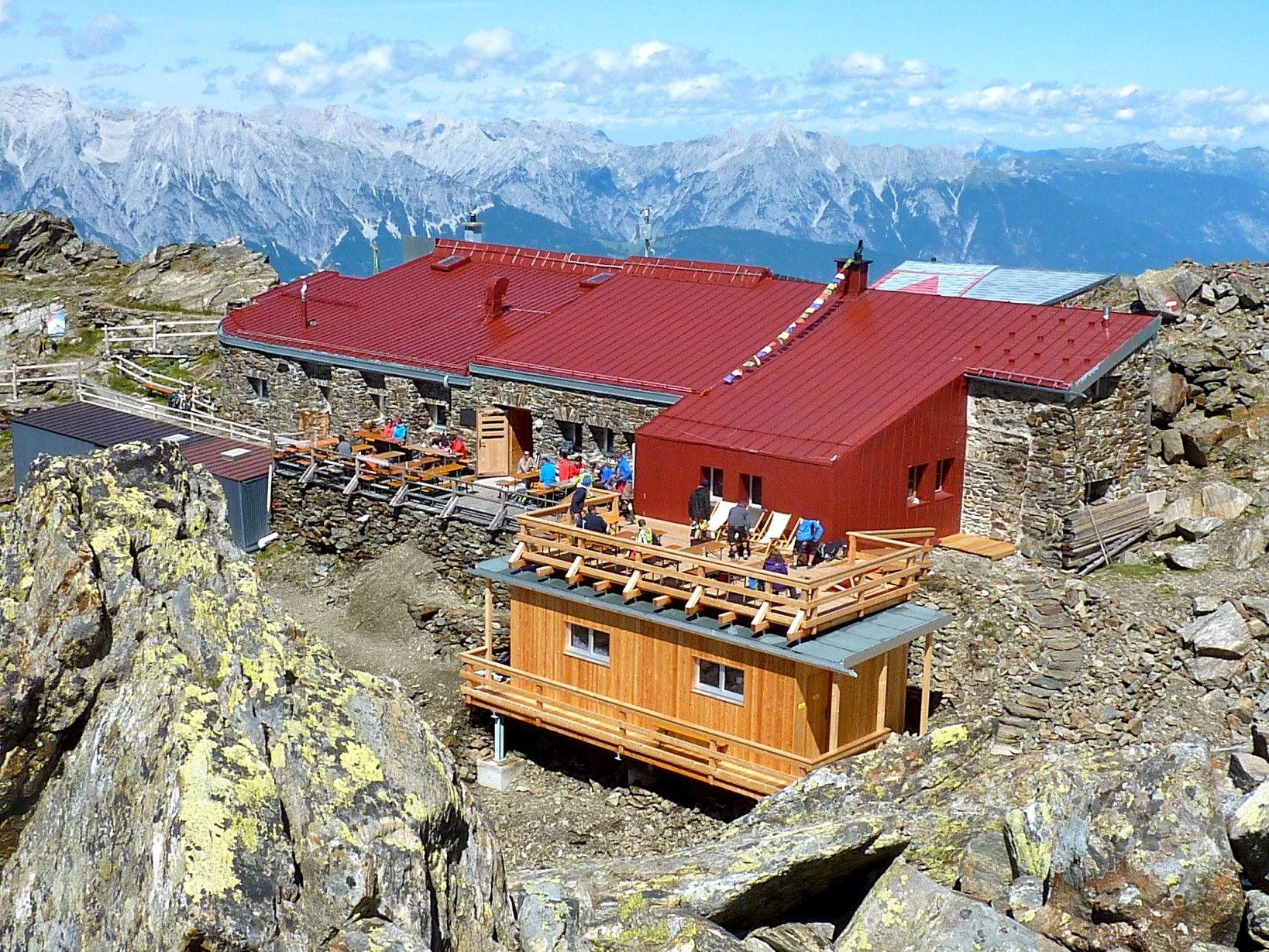
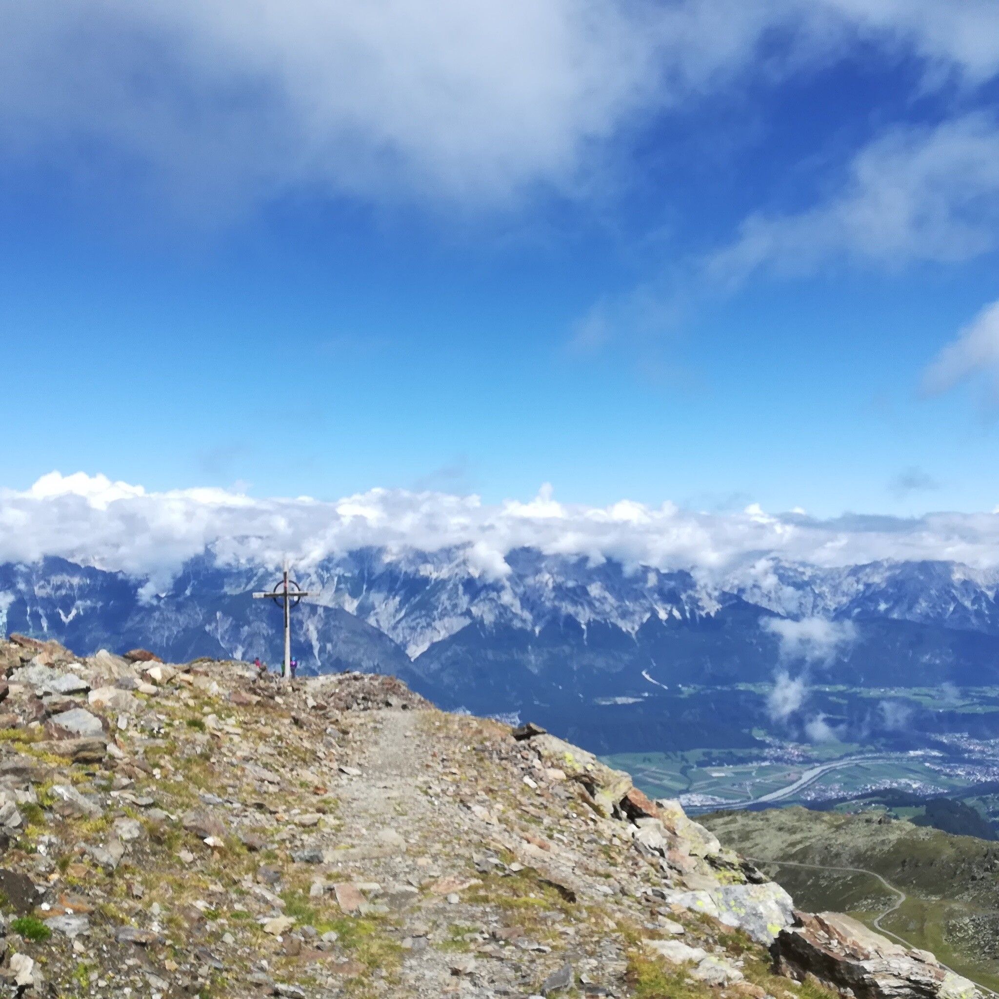
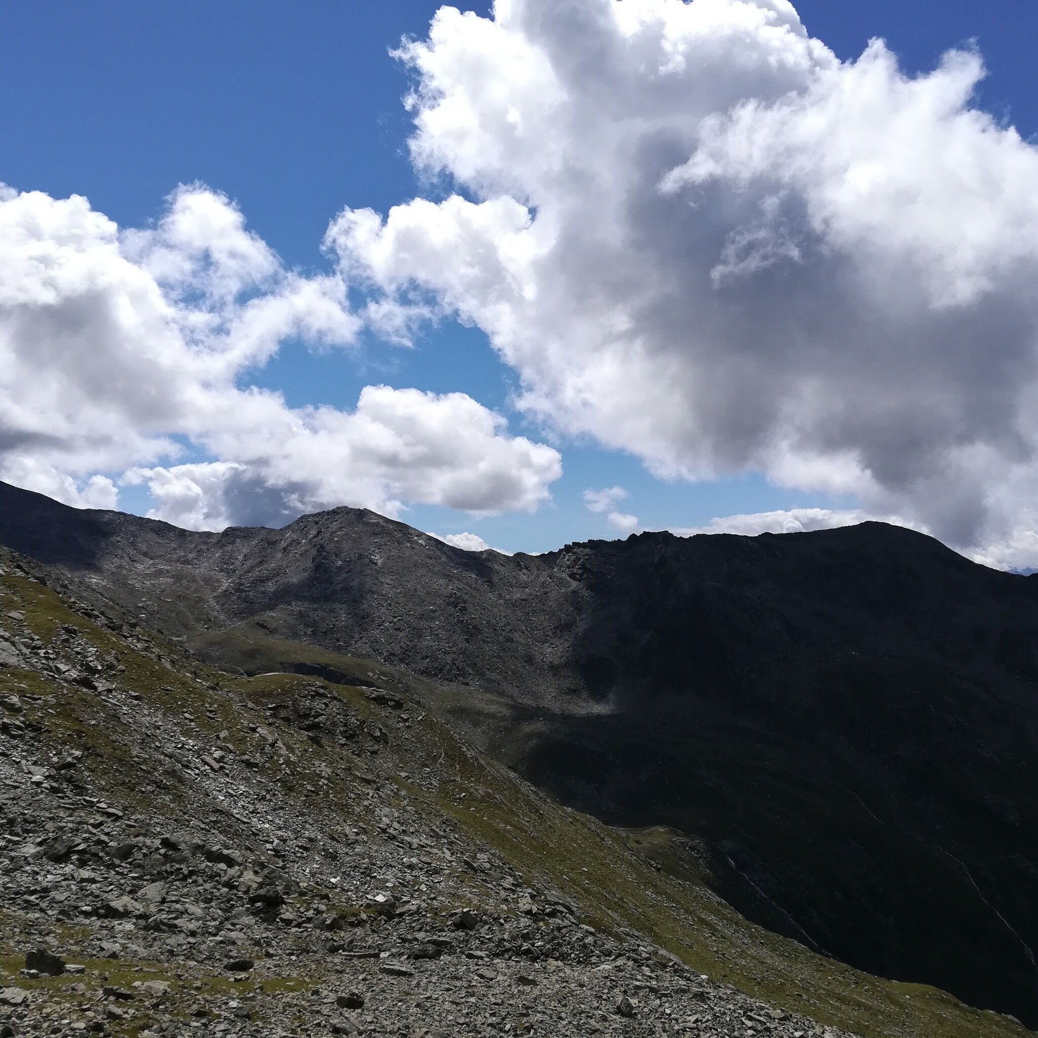
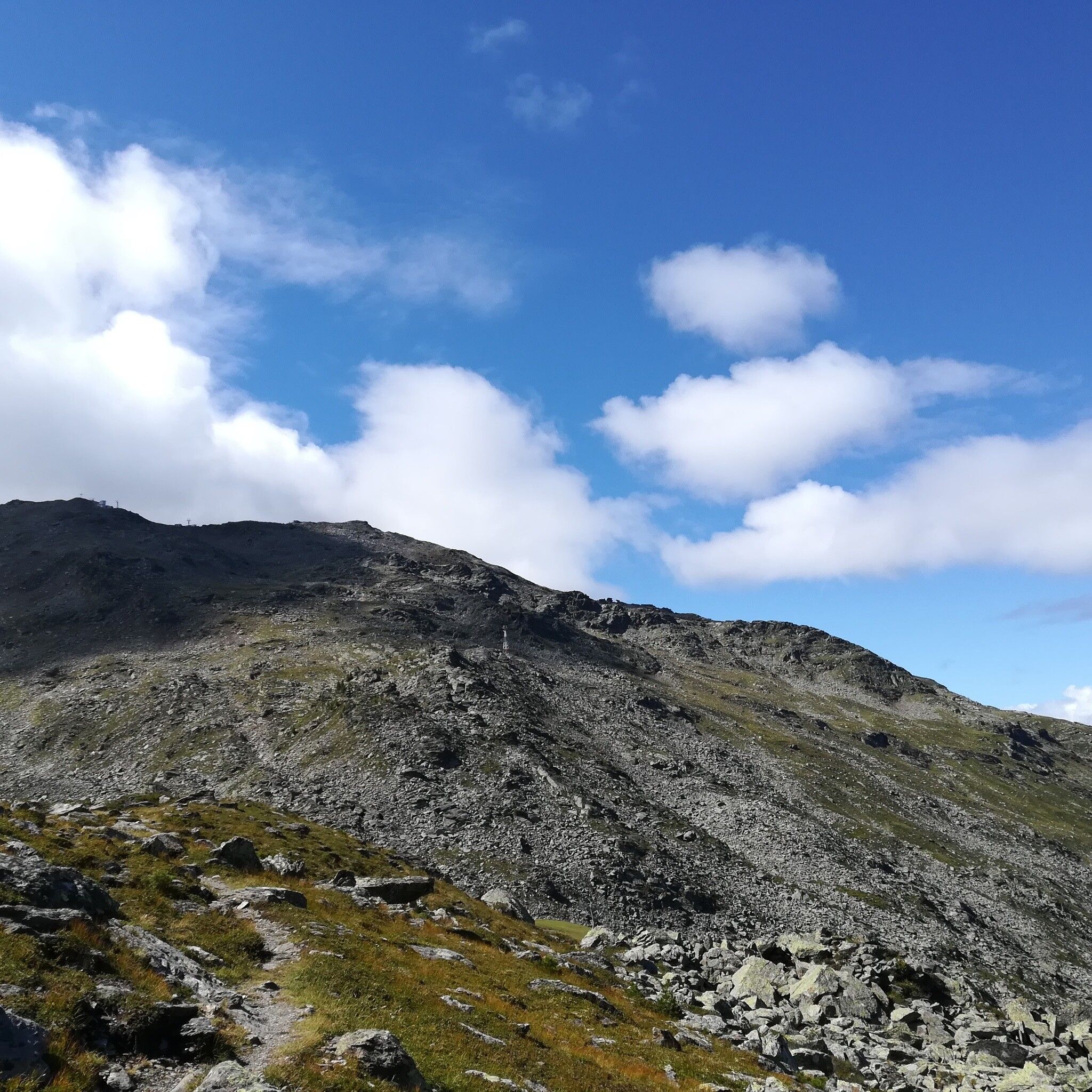
After ascending with the Patscherkofel cable car, we leave the usual tourist paths and head to the quiet side of the Patscherkofel and Glungezer: on the "Inntal-High Trail".


Getting here

  • Arrival by public transport

    The Patscherkofel cable car can be reached directly from Innsbruck via "Line J".

    More information at:

    http://www.vvt.at

  • Parking

    There are free parking spaces directly at the Patscherkofel cable cars.

Weather

Today

clear sky
28°C/13°C
35%0.9l5 km/h

Thu

clear sky
29°C/13°C
5%0.2l5 km/h

Fri

clear sky
30°C/13°C
0%0.6l5 km/h
Go to weather forecast

More tours in the surrounding area

Newsletter

The mountain is calling? So does our newsletter!

In our monthly newsletter we reveal the best holiday tips for Tyrol.