
Opening hours:Open today
Place:Galtür
:Restaurant, Alpine pasture / hut / mountain restaurant
Medium difficulty hike to the Breitspitze mountain
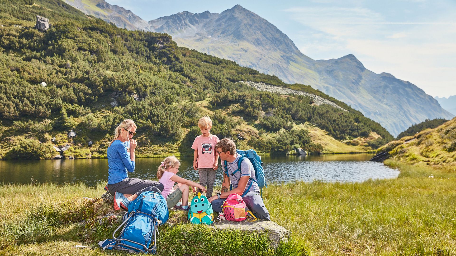
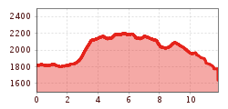
You can get to the car park for Kops reservoir by car or by bus. Proceed here across the reservoir wall, then head along a section of the bank trail, then take a right turn toward Breitspitzbahn. Follow a narrow path here initially, then you will reach a well signposted path into flat terrain up to Breitspitze. At the summit an impressive view right into Montafon awaits. Alternative: walk counter clockwise until you reach the Faulbrunnalm. From there further to the Weiberhimml restaurant and via the „Himmelpfad“ back to the village. Return section: the same route back to Kops car park, or after around ½ hour head right at the turnoff, which heads toward Alpkogelbahn. (Please note the cable car operating times for your return journey!).
With the railway station in Landeck, the Paznaun is optimally connected to the Austrian train network. From Landeck-Zams station, only a short bus ride separates you from the Paznaun. Every half hour, line bus 260 runs from there through the valley. Bus stop: Kops Gh Zeinisjoch
Buses in the Paznaun valley | Region Paznaun – Ischgl


 © Bergbahn Pillersee.jpg")


 Sportalpen (21).jpg")


