Mountain hikes Hahntennjoch Passhöhe - Anhalter Hütte

Imst / Lechtaler Alpen
Difficulty ratings: medium
Route length: 3.0 km

Panoramic hike to the Anhalter Hütte.

Tour information

  • Requirement: medium
  • Length: 3.0 km
  • Elevation uphill:315 hm
  • Elevation downhill:210 hm
Highest point2,198 m

Starting point

Hahntennjoch

Finishing point

Anhalter Hütte
  • Fitness level 2 / 6
  • Technique 2 / 6

Features

  • Suitable for families

Best time of year

  • January
  • February
  • March
  • April
  • May
  • June
  • July
  • August
  • September
  • October
  • November
  • December

Trail condition

hiking trail

Equipment

Good equipment is essential for your hike. The following items should definitely be in your rucksack: - Food and drink - Functional clothing for rain, wind and cold - A change of clothes - Sun protection - First aid kit - Mobile phone with a full battery (Euro emergency number 112) - Hiking map or GPS - Hiking poles Nevertheless, the following applies: light luggage is also easier to carry, so you should not weigh down your rucksack with unnecessary ballast. In addition, your hiking equipment should of course also be adapted to your particular hiking tour.
Source: Outdoorregion Imst

Description

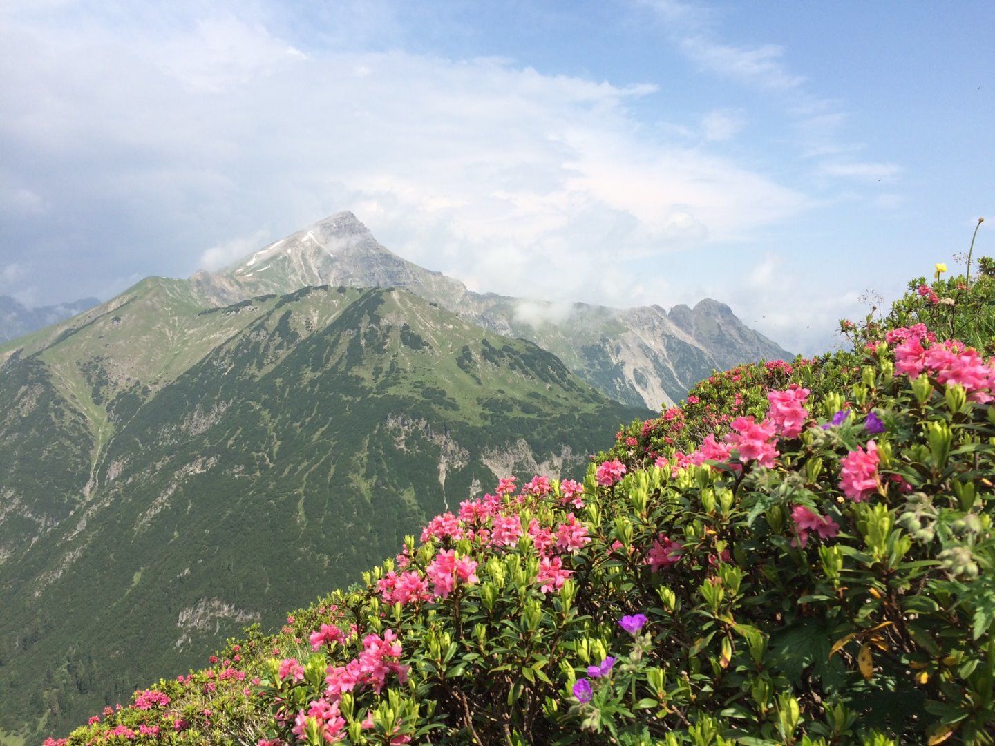
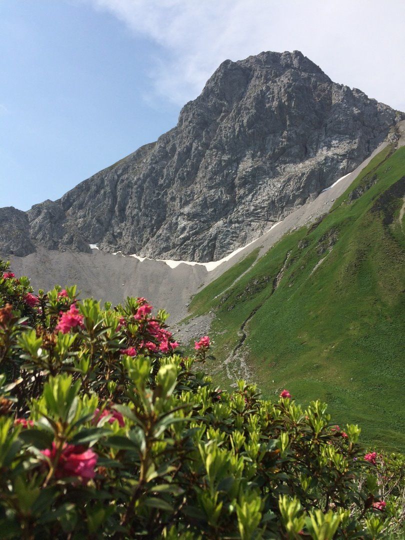
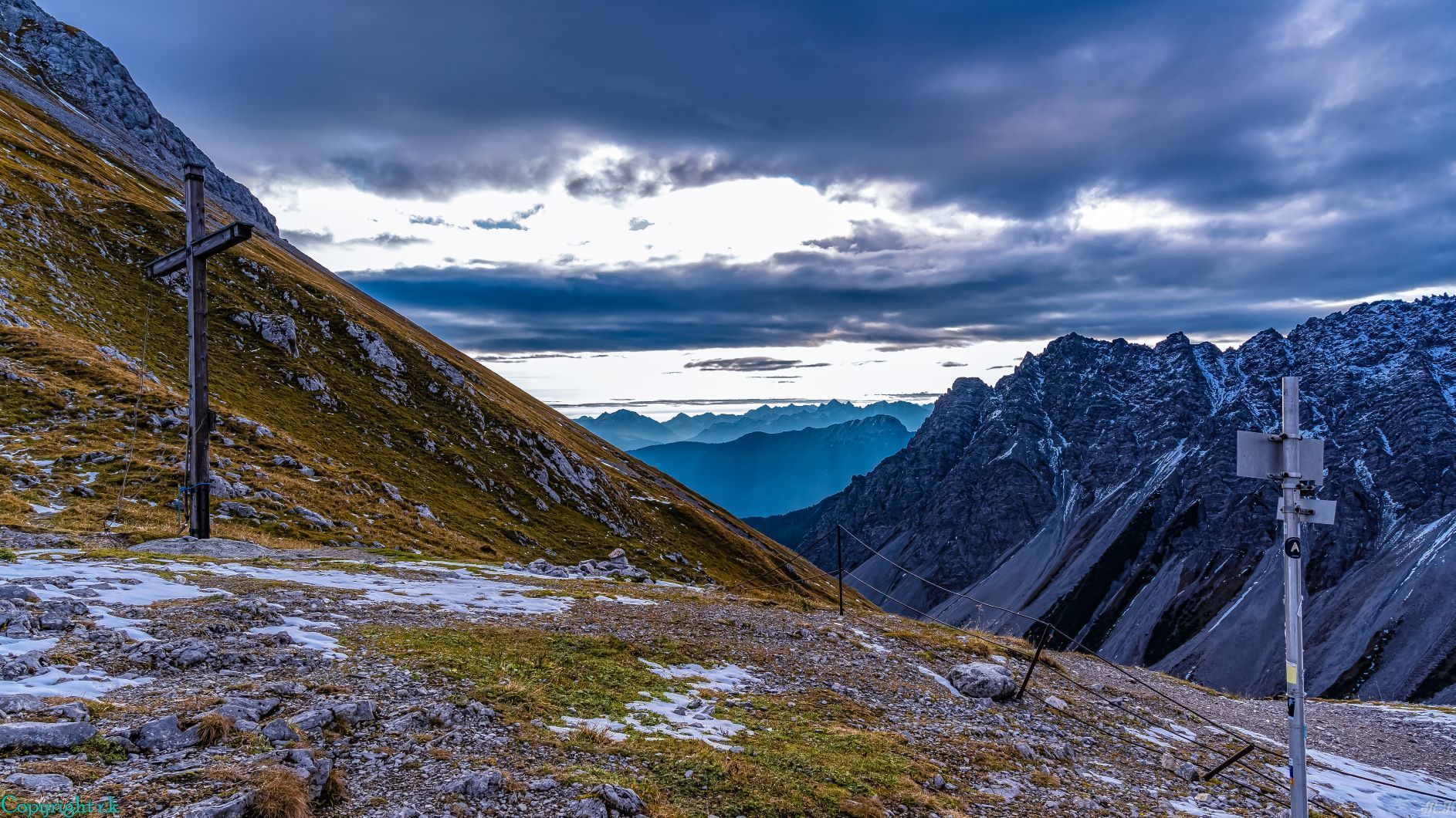
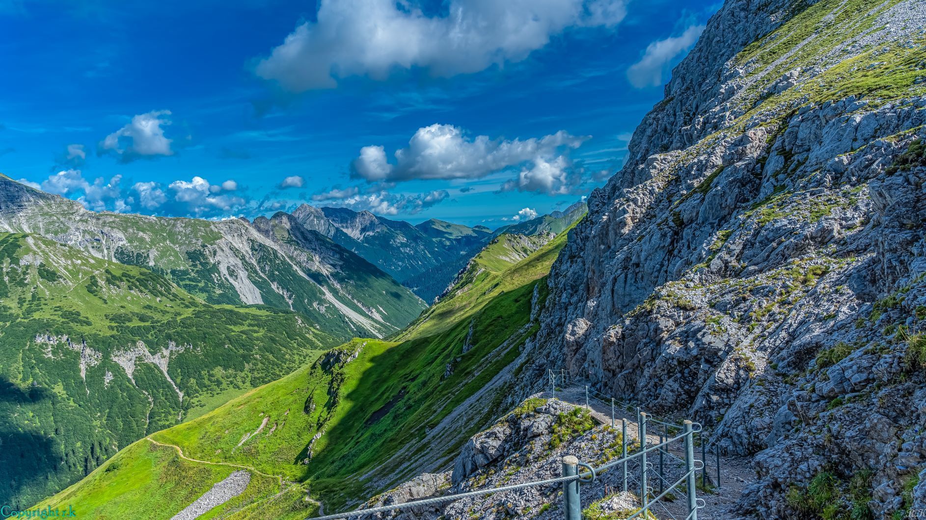
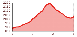
From the Hahntennjoch, follow a well-marked path in a northerly direction steeply uphill to the Steinjöchl. At the Steinjöchl at 2189m you then go downhill again, your last stretch is then quite flat over to the hut. The Anhalter Hütte is a simple mountain hut with a rustic character and original paneling from the time it was founded 100 years ago. Here you can still find romance and seclusion.

Nearby huts and mountain restaurants

Getting here

  • Arrival by public transport

    Regiobus from the beginning of July to the beginning of October 

  • Parking

    Hahntennjoch car park

More tours in the surrounding area

Newsletter

The mountain is calling? So does our newsletter!

In our monthly newsletter we reveal the best holiday tips for Tyrol.