Arrival by public transport
busline 4104
bus stops: Tux-Vorderlanersbach Rastkogelbahnen or Tux-Lanersbach Tux-Center/Eggalmbahnen
The Rastkogel - the dominant feature in the eastern part of the Tux Alps: summit with an extensive panoramic view of the Stubai Alps, the Karwendel, the Rofan and the Wilder Kaiser!
Correct footwear (sole with a tread, firm hiking shoes)
Clothing (quickly drying, protection against wind, rain and cold)
Sunscreen – ATTENTION: strong sunlight in the mountains! Sunglasses, head protection, sunscreen with a high sun protection factor
First aid kit (gauze bandage, plaster)
Charged mobile phone
Drinks and food (drink plenty of fluid on hikes – but avoid alcohol!)
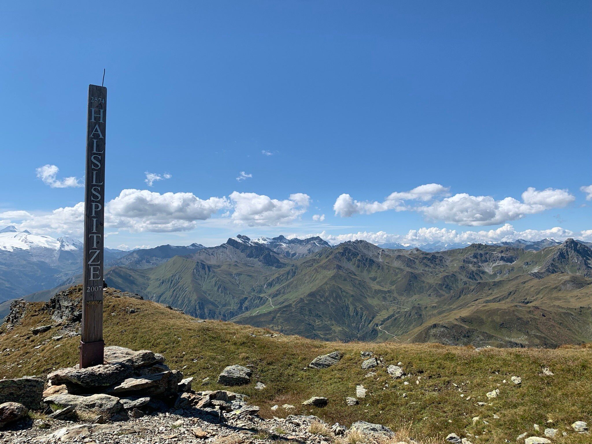
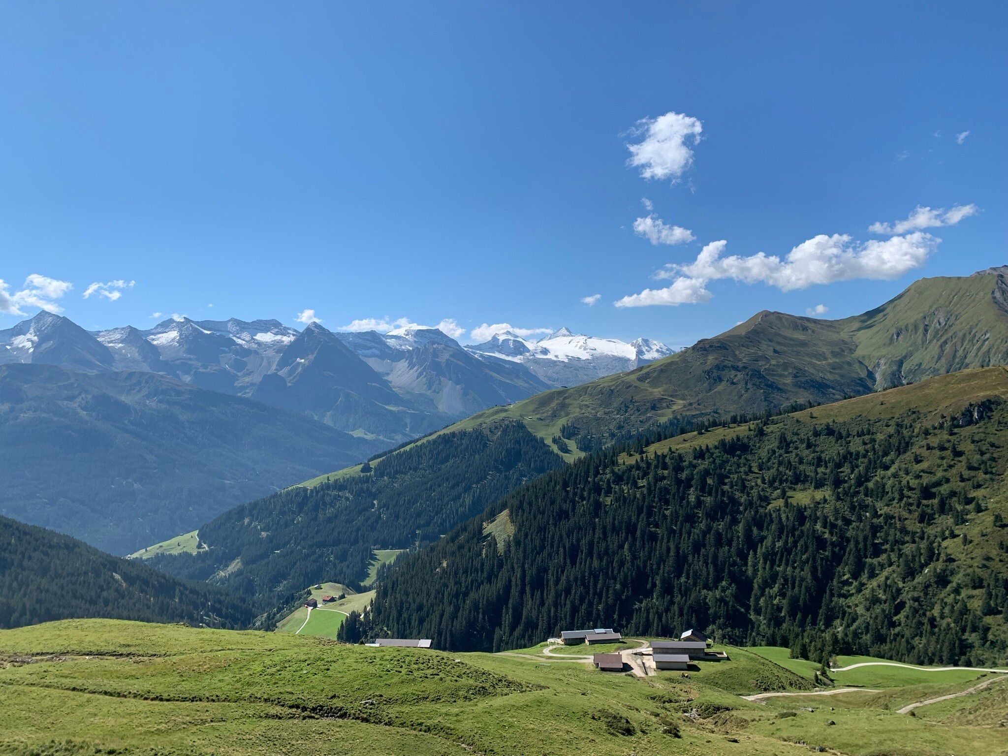
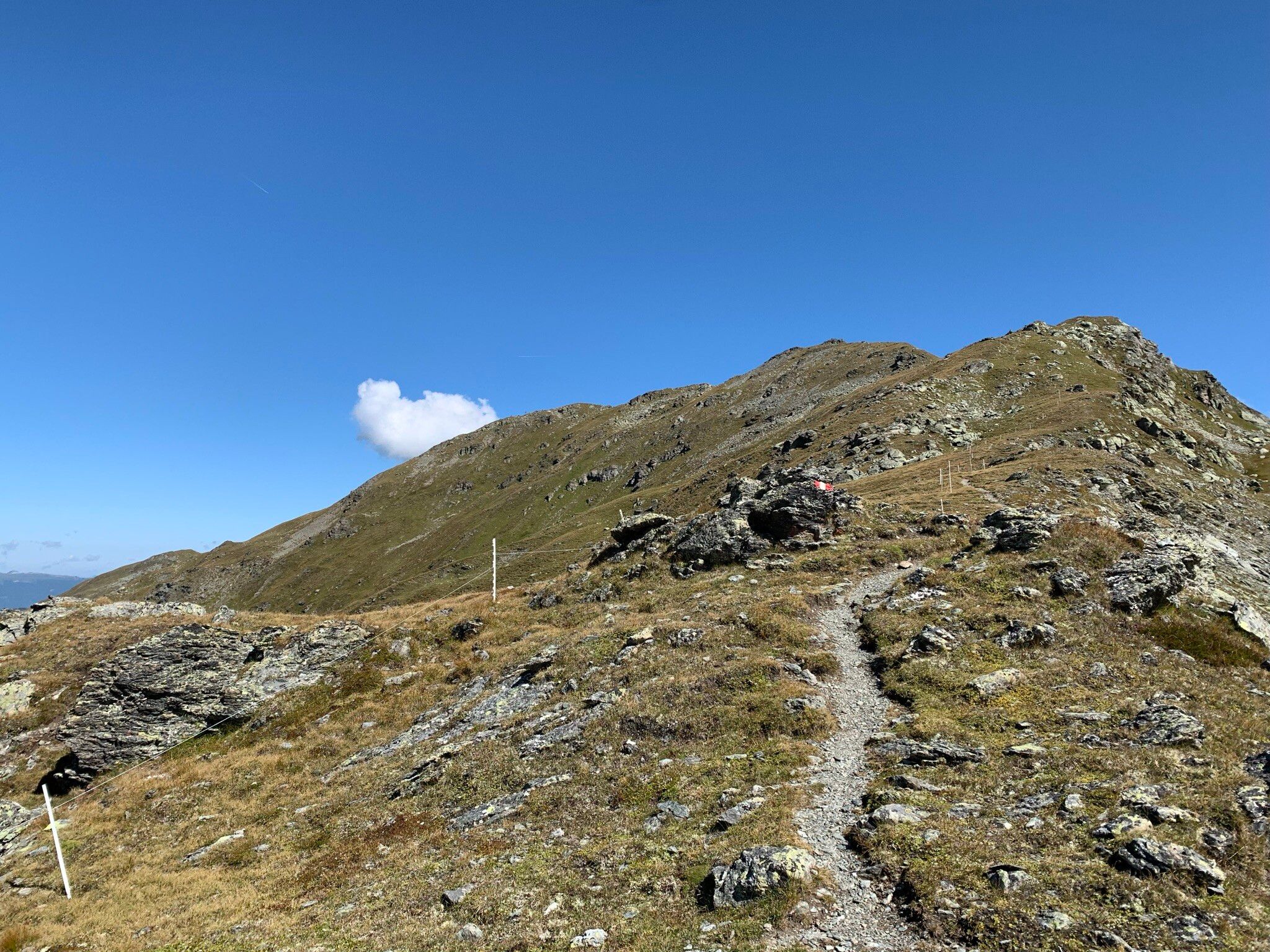
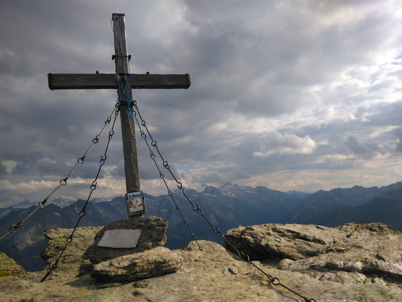
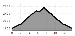
At the junction of the mountain road from Tux-Vorderlanersbach to Geislerhof, follow the winding, tarred alpine path (AV trail no. 315) in the direction of Geiselalm/Geiseljoch. At the fork on a terrain step, the sign "Geiseljoch" directs you past the Geiselalm, over an initially steep climb over pasture slopes to the Geiseljoch (2,292 m). Eastwards over a steep ascent to the grassy ledge of the Nafingjoch (AV trail no. 302A). The route is then less strenuous over a rugged ridge with insignificant intermediate elevations, where you can briefly use the trail leading to the Rastkogel. From the summit of the Halslspitze (2,574 m), which you reach from the south on a well-laid mountain path, the easy west ridge, studded with a few boulders, gradually swings up to the Rastkogel (2,762 m). Return via the west ridge until the marked descent trail no. 318, which branches off to the south, leads to a cirque. Across grassy slopes to the alpine basin of the Geiselalm starting point.
TIP: On the descent you pass the idyllic Rastkogel lakes, which invite you to linger!
busline 4104
bus stops: Tux-Vorderlanersbach Rastkogelbahnen or Tux-Lanersbach Tux-Center/Eggalmbahnen
Tux-Vorderlanerbach junction Geislerhof/Geiselam (ascent over hamlet Schöneben)
Tux-Vorderlanersbach village square
Tux-Lanersbach 401, parking Tux-Center
")


")


