

Opening hours:Today closed
Place:Leutasch
:Alpine pasture / hut / mountain restaurant
Easy circular hike from Leutasch through the idyllic Katzenloch with peaceful forests and open meadows, with rustical refreshment stops along the way.

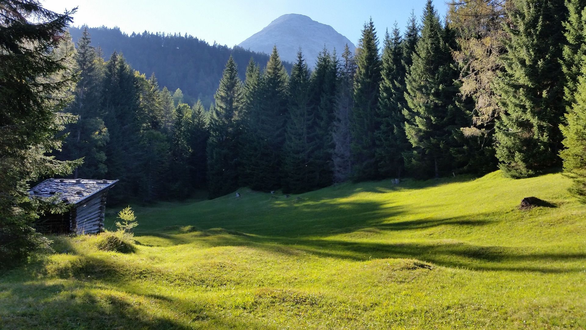
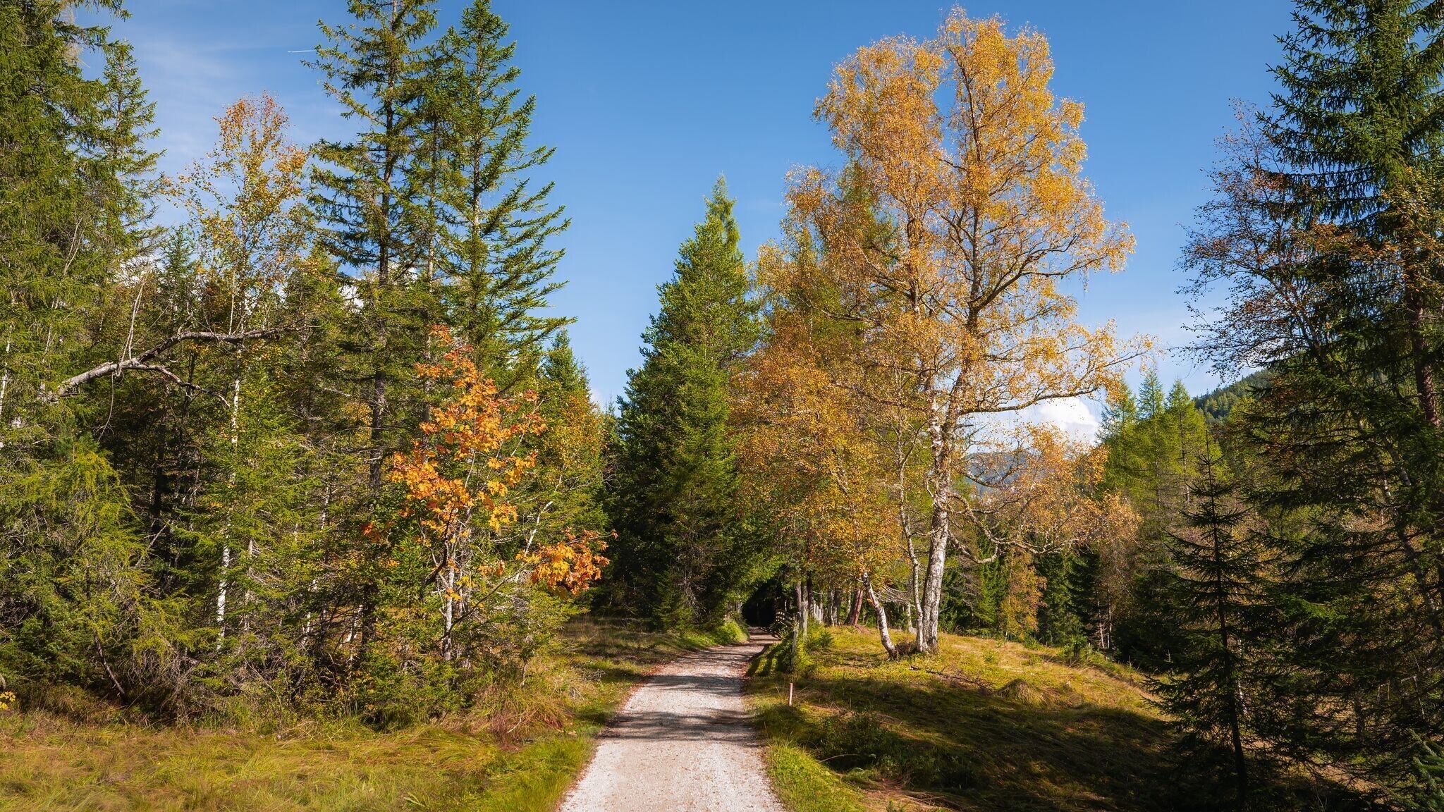


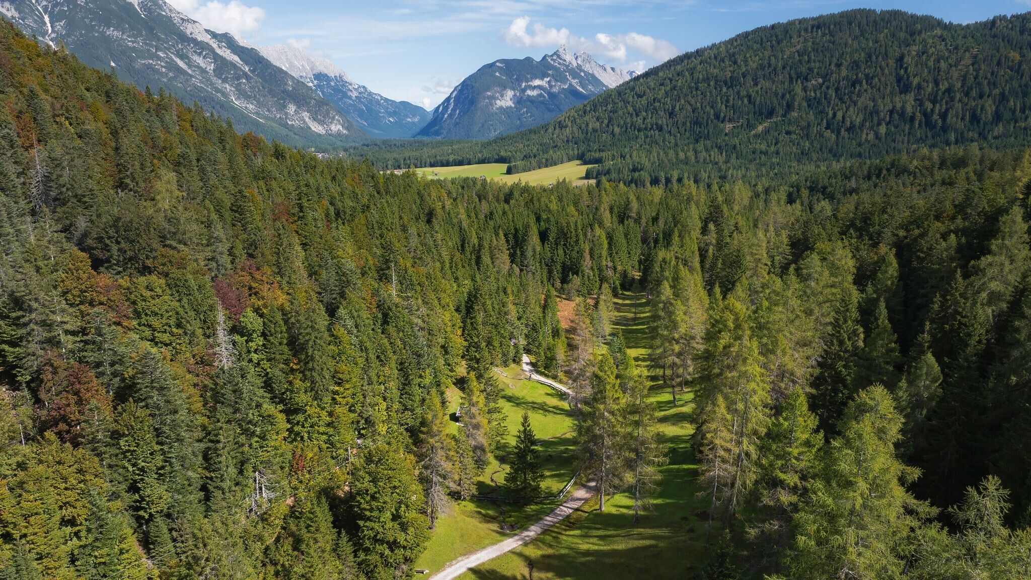
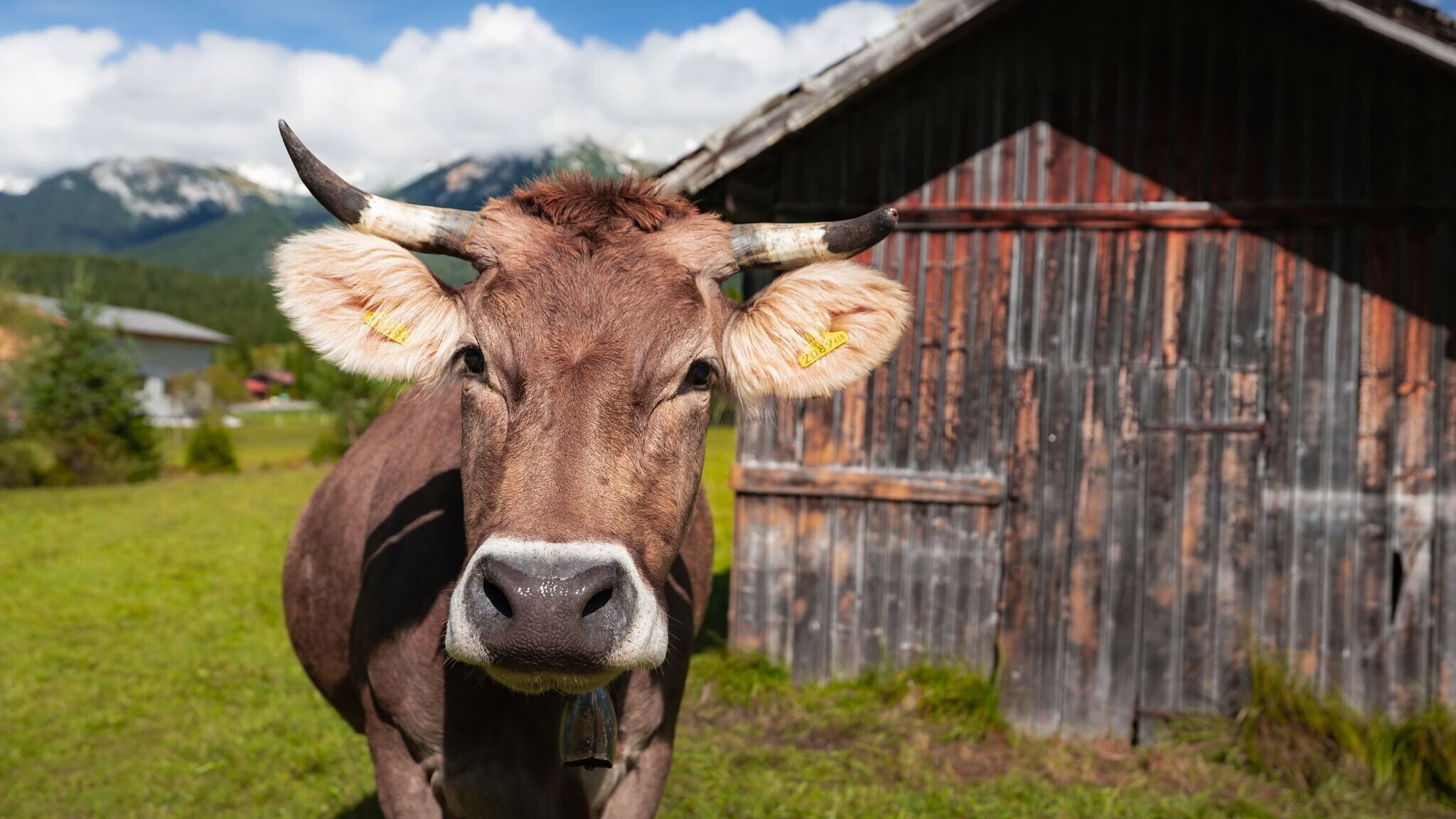
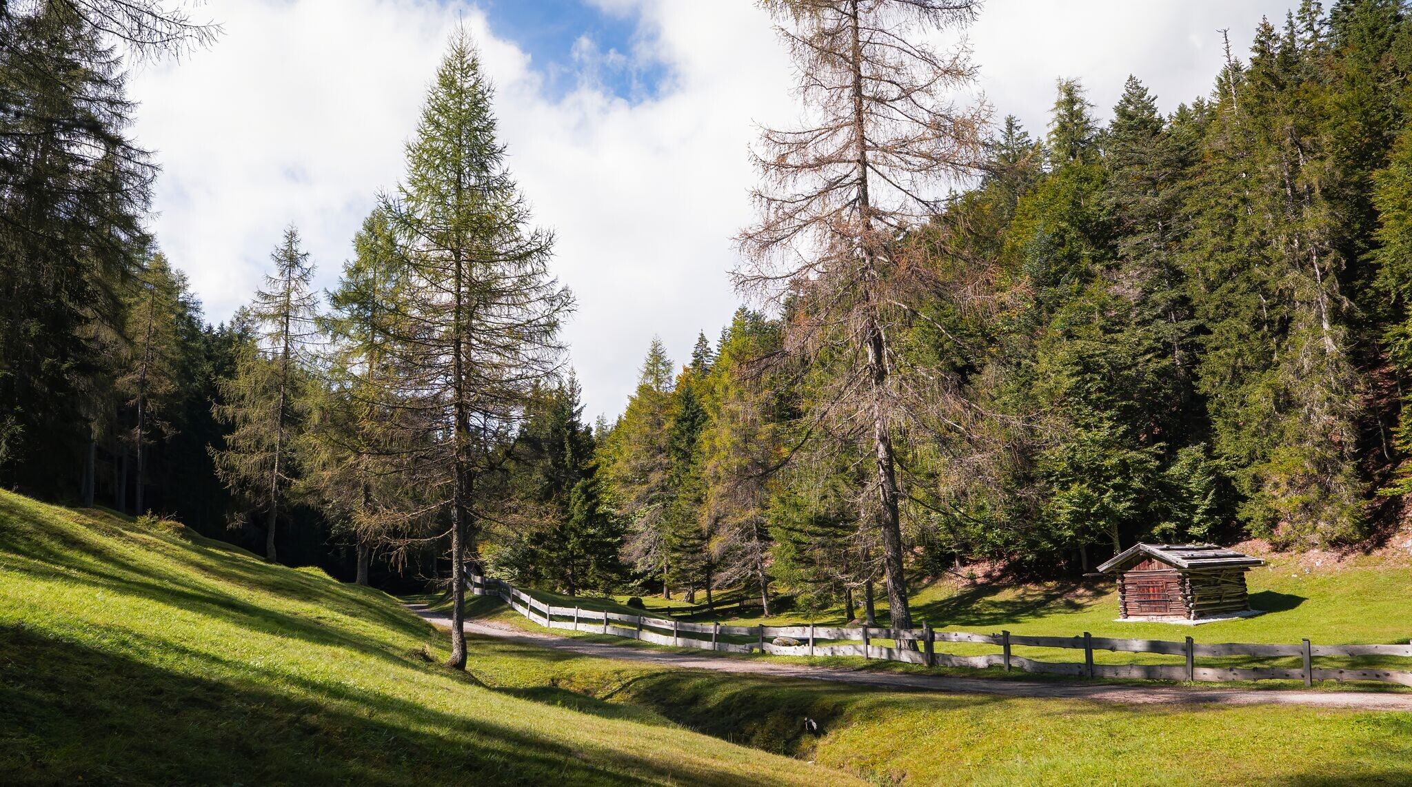
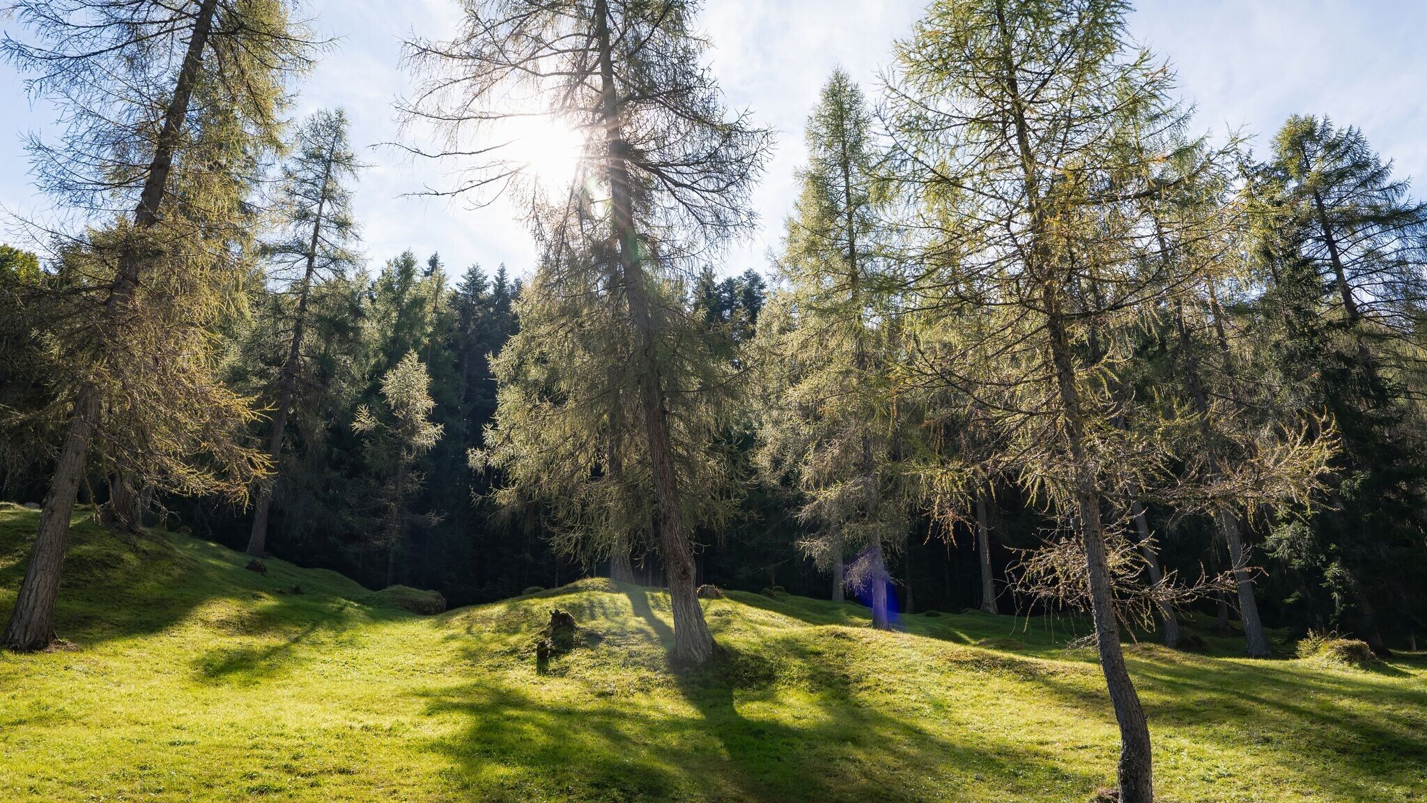

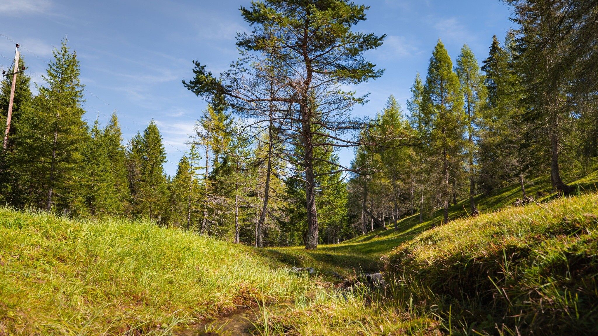
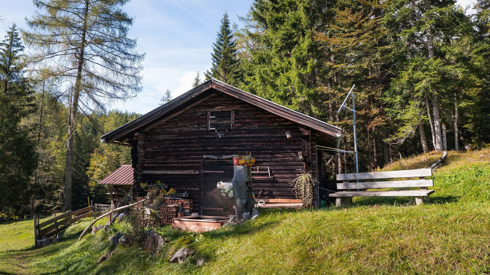

Forest path and meadow trails.
All current information about the trail closures in the Region Seefeld can be found here.
Have you been out and about in the Region and discovered a spot that we should rework or repair? Fill out the form "Report a danger zone" and let us know where work is needed.
Comfortable footwear, weather-appropriate clothing, a light backpack, enough water, and a small snack are recommended for this hike.
Additionally, a hiking map or GPS, a first aid kit, sun protection, and hiking poles, if needed, are also advisable.
This circular hike leads through dense forests and picturesque meadows amid the idyllic scenery of the Leutasch Valley. Along the way, discover the Tyrolean Mountain Farming Museum, enjoy a stop at a traditional inn and continue exploring the beautiful natural surroundings.
The hike starts directly at the Rödllach car park, close to the Zottlhof in Leutasch. Before or after the tour, you can stop for refreshments at Restaurant Ahorn. The signposted hiking trail through Katzenloch begins near the car park. After a short section across open fields, the trail enters the forest and leads to Buchen, a district of Mösern. From there, follow the turn-off to the Tyrolean Mountain Farming Museum.
Right next to the museum, the Landgasthof Ropferstub’m invites you to take a break and enjoy regional dishes in its traditional dining room. There is also a Kneipp facility, perfect for cooling off on hot days. From the Ropferstub’m, turn left and follow the Schlagweg trail along the edge of the forest to the next junction near the Interalpen-Hotel Tyrol. Cross the road and continue following the hiking signs towards Muggenmoos. After the forest section, a clearing offers the opportunity to take a detour to the Muggenmoos Alm. Here, the Neuhauser family serves seasonal dishes and Tyrolean classics. From there, return to the hiking trail and continue through the forest back to the starting point. Shortly before reaching the starting point, you need to cross the main road – please take extra care here!
Highlights and viewpoints:
• Tyrolean Mountain Farming Museum
• Ropferstub’m natural Kneipp facility
• Forest and meadow section through Katzenloch
Options for shortening the route:
• The circular hike can be shortened via several turn-offs between Buchen and Muggenmoos.
By bus from Seefeld, Mittenwald or Telfs to the "Moos Rödlach Parkplatz" bus stop.
All real-time connections can be found in the route planner.


