
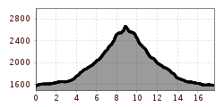
Difficulty:easy
Length:1.4 kmElevation uphill:153 m
Hike to Aifner Alm and Aifenspitzen
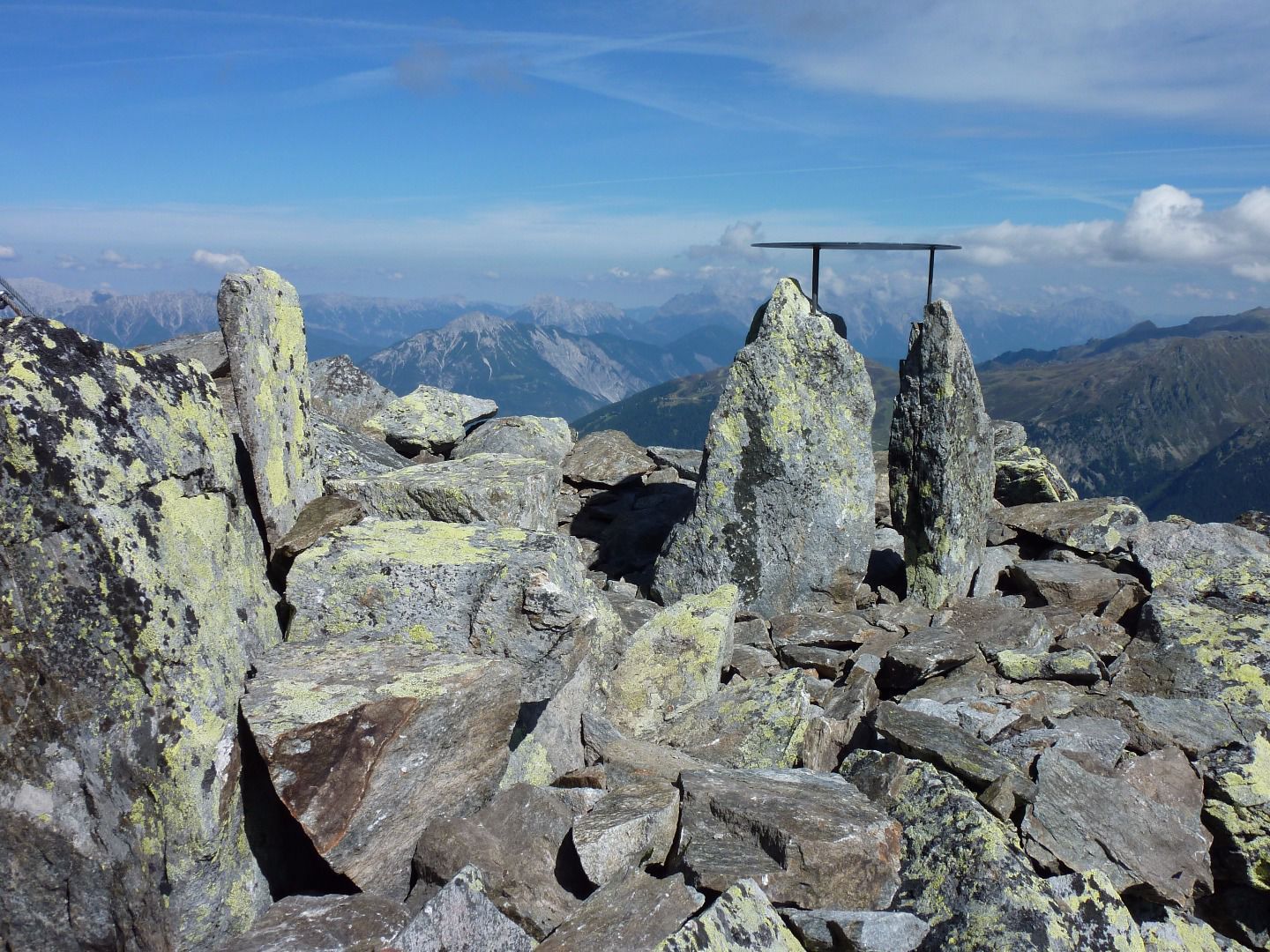
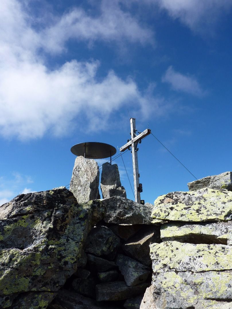

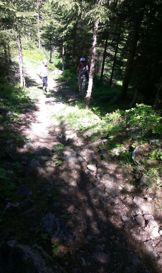
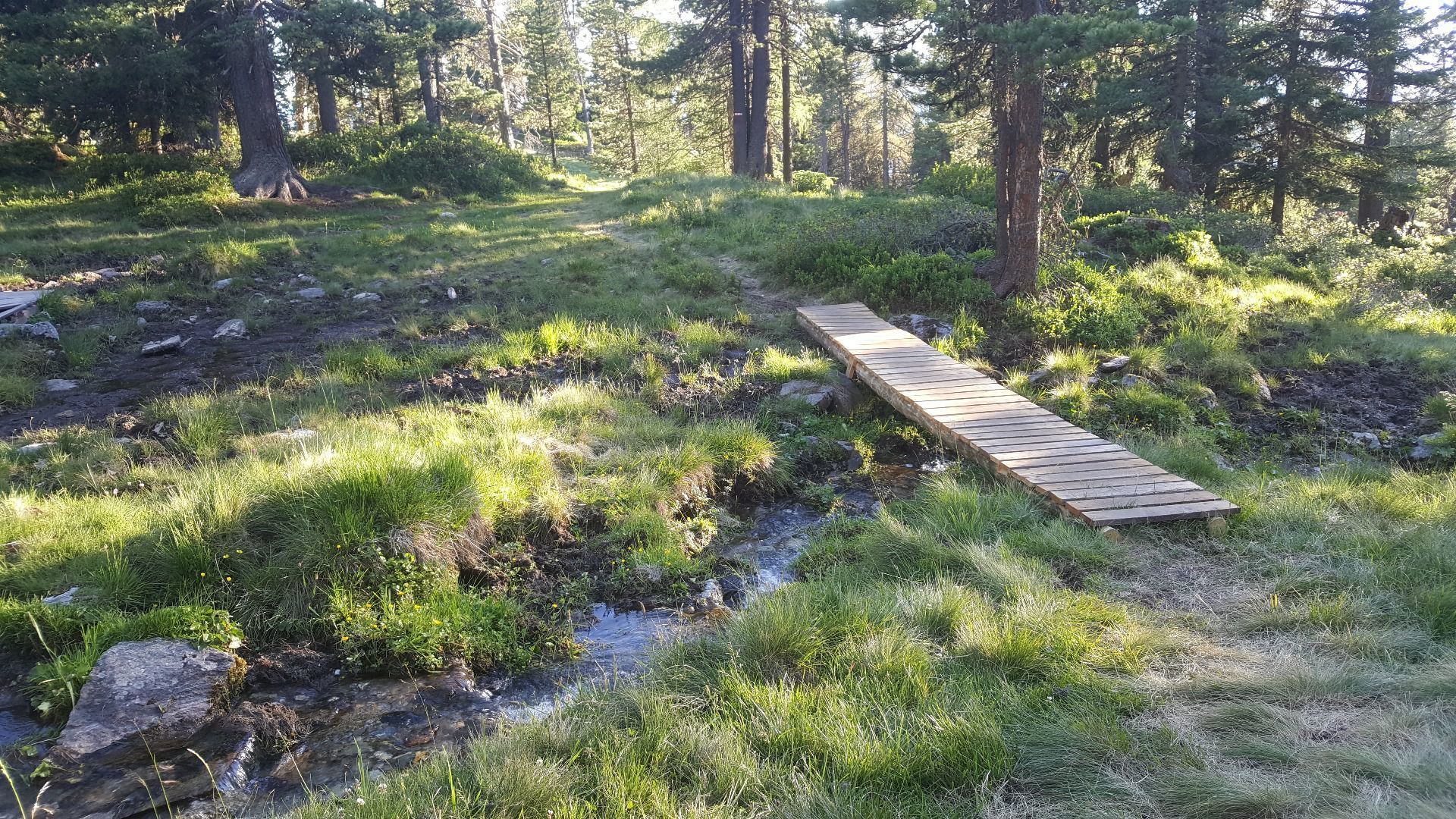
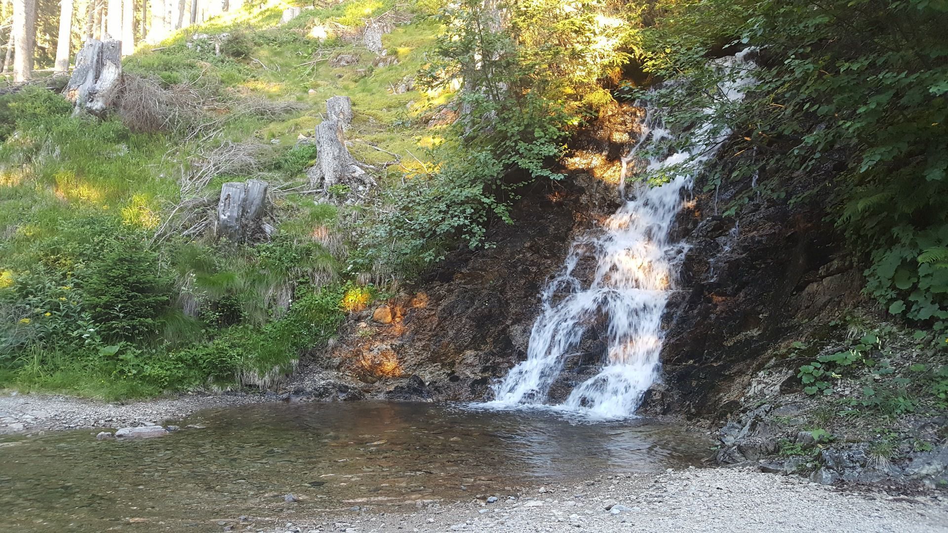
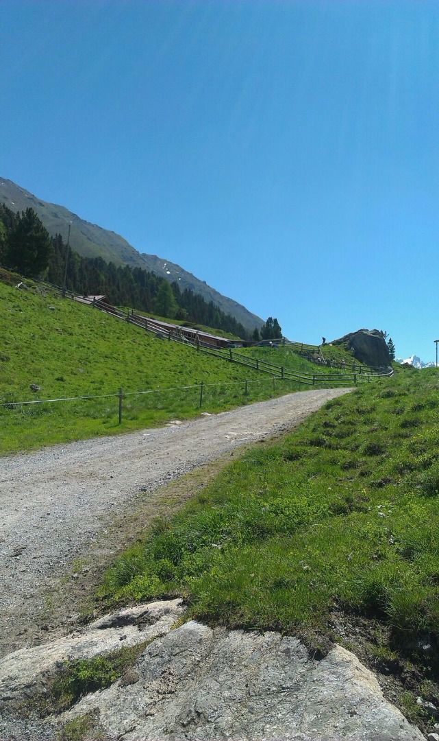
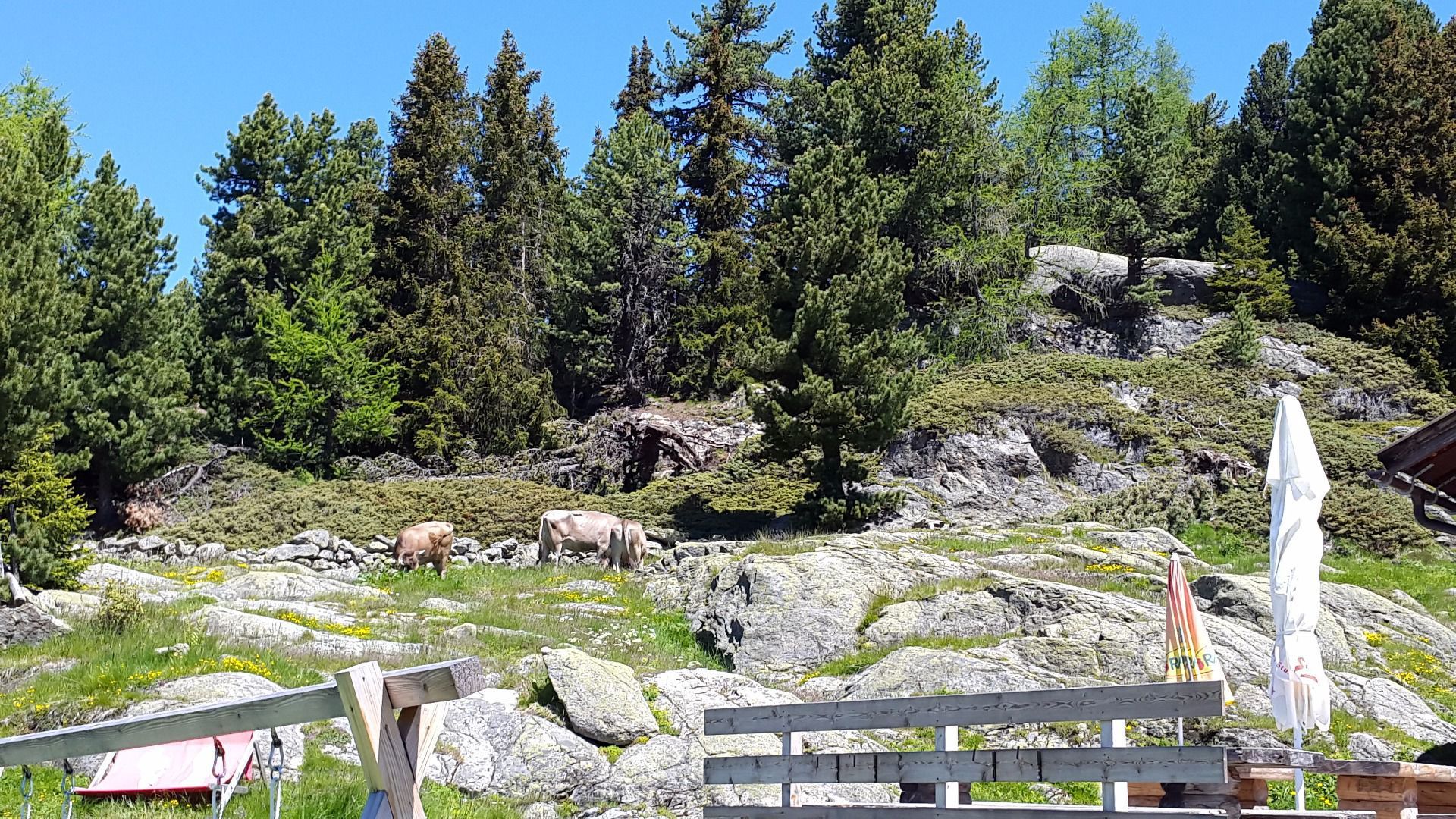
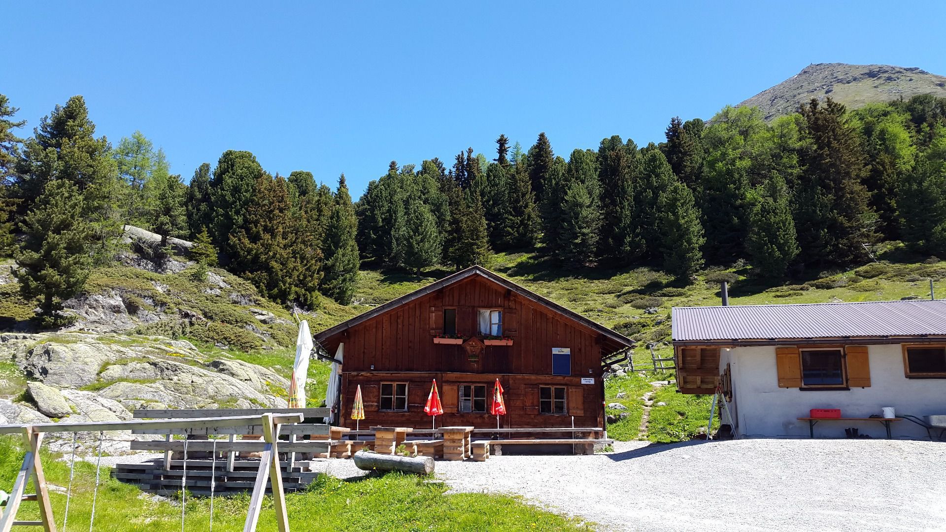
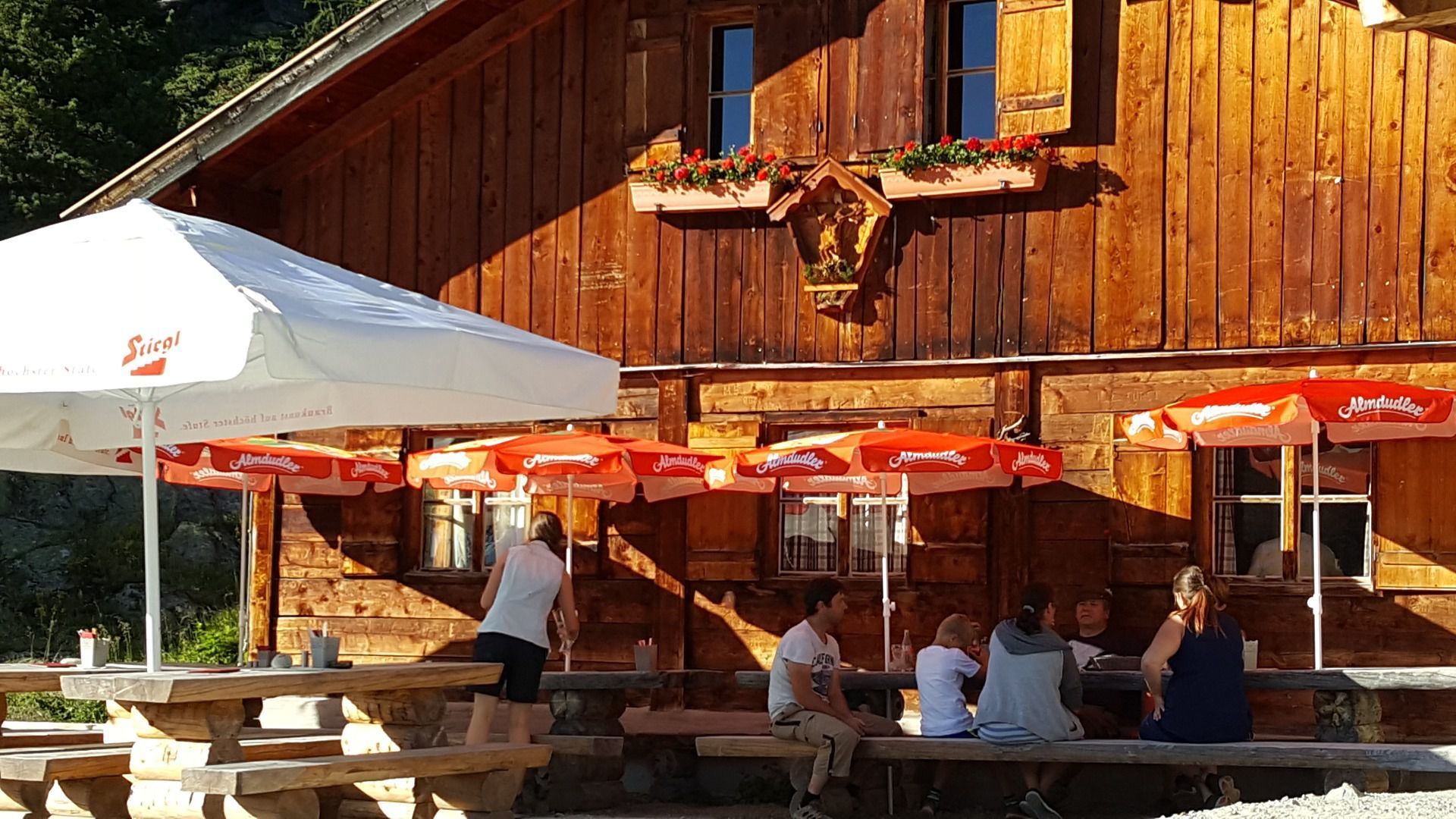

From the starting point, take a forest path left in the direction of a pond [Harbeweiher]. The forest path reaches a steep trail, which you continue to follow, keeping to the right. Just before the Harbeweiher, take a left turn. Continue to walk on this trail to the catered mountain hut Aifner Alm. Once there, turn off left via a well-prepared steep path until you reach the Schweinelieger summit. From there, keep right and walk along the ridge to the Aifenspitze summit. Please note: only cross over to the Hohen Aifenspitze peak if you are sure-footed and an experienced mountaineer. Return by the same route you came on.


.jpg")


.jpg")


.jpg")
.jpg")


")

.jpg")
