
Opening hours:Open today
Place:Scharnitz
:Alpine pasture / hut / mountain restaurant
Easy hike from Scharnitz to the idyllic Birzlkapelle through picturesque forest paths with gentle ascents.
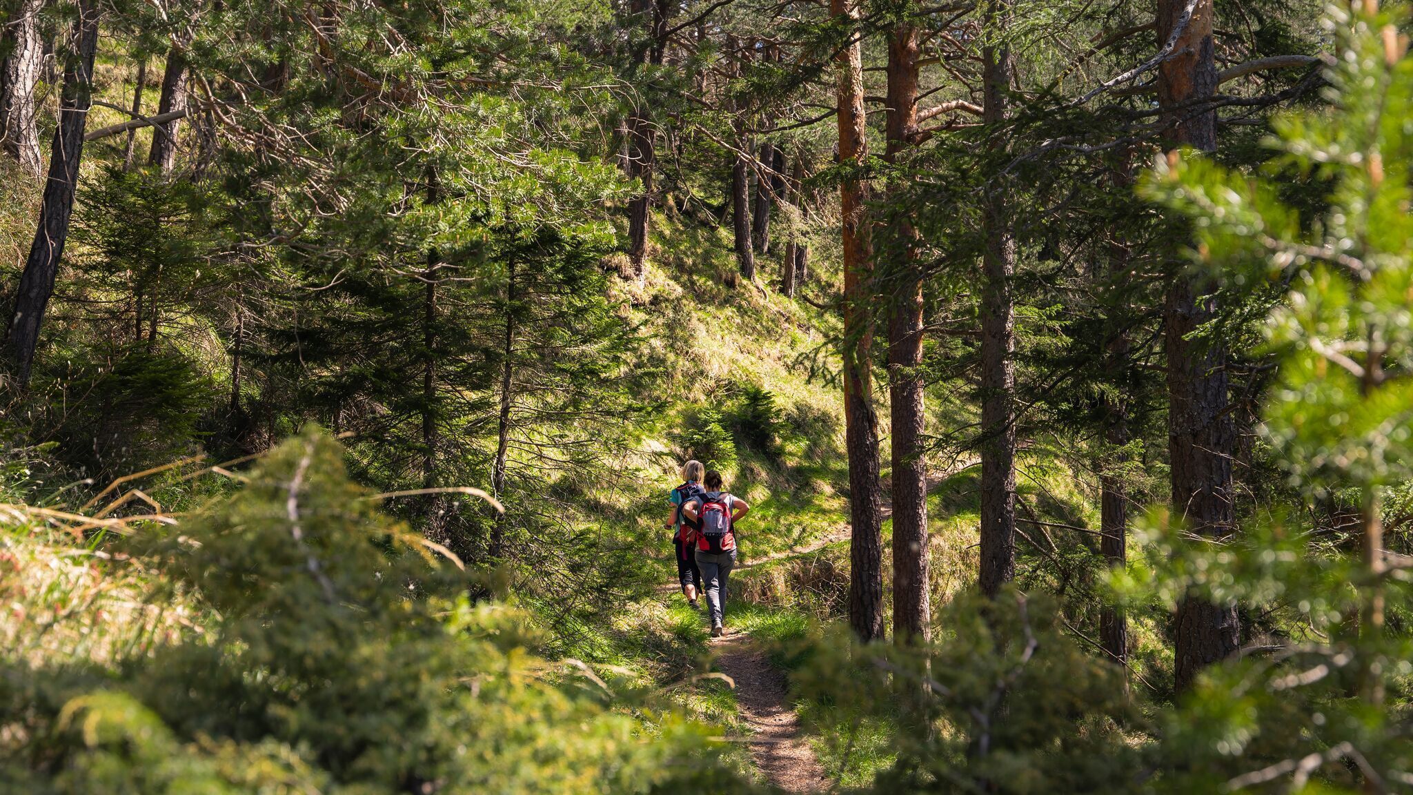
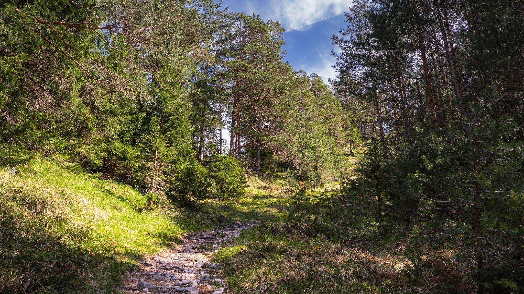
Forest roads and woodland paths.
All current information about the trail closures in the Region Seefeld can be found here.
Have you been out and about in the Region and discovered a spot that we should rework or repair? Fill out the form "Report a danger zone" and let us know where work is needed.
Comfortable footwear, weather-appropriate clothing, a light backpack, enough water, and a small snack are recommended for this hike.
Additionally, a hiking map or GPS, a first aid kit, sun protection, and hiking poles, if needed, are also advisable.
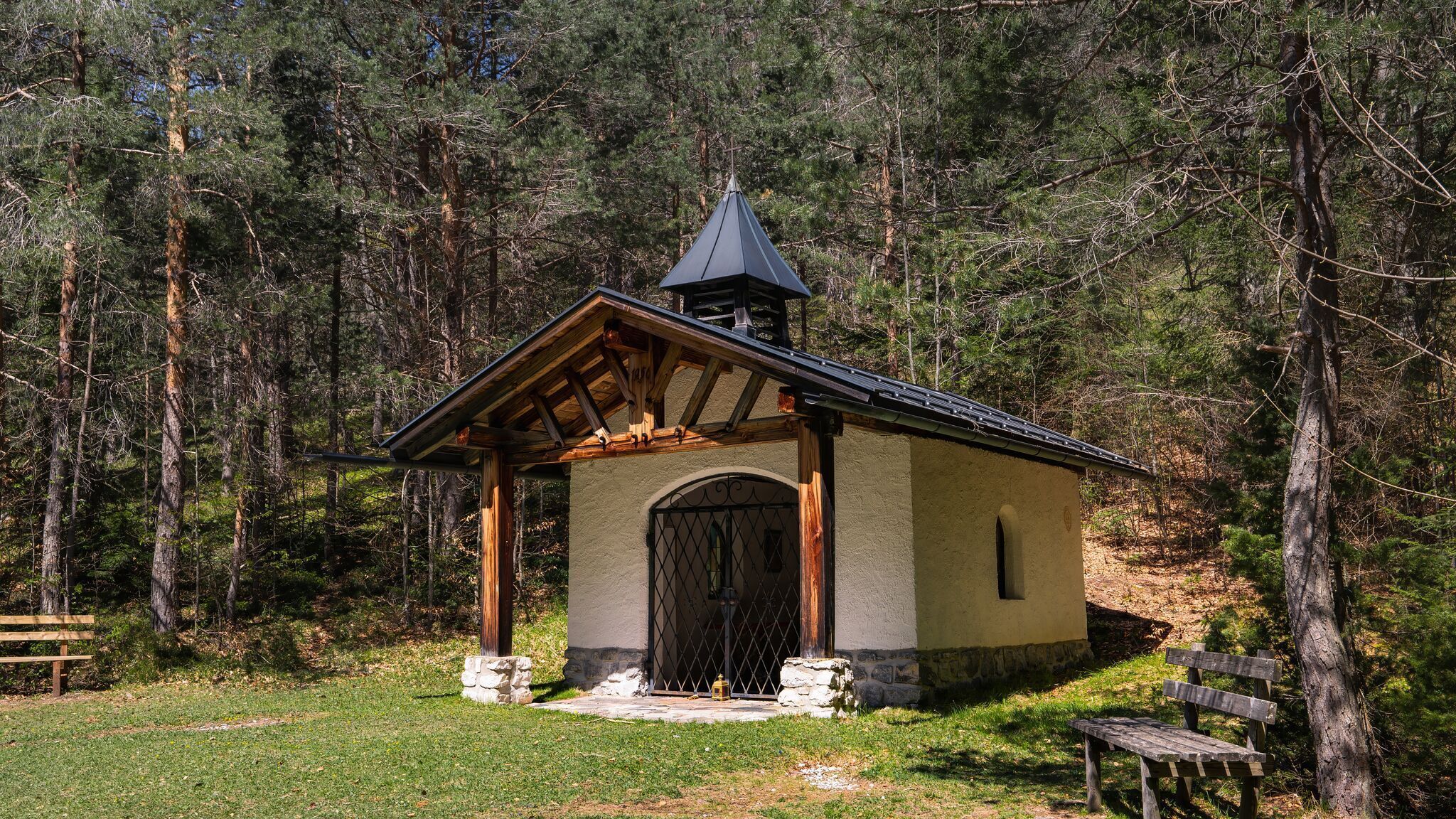
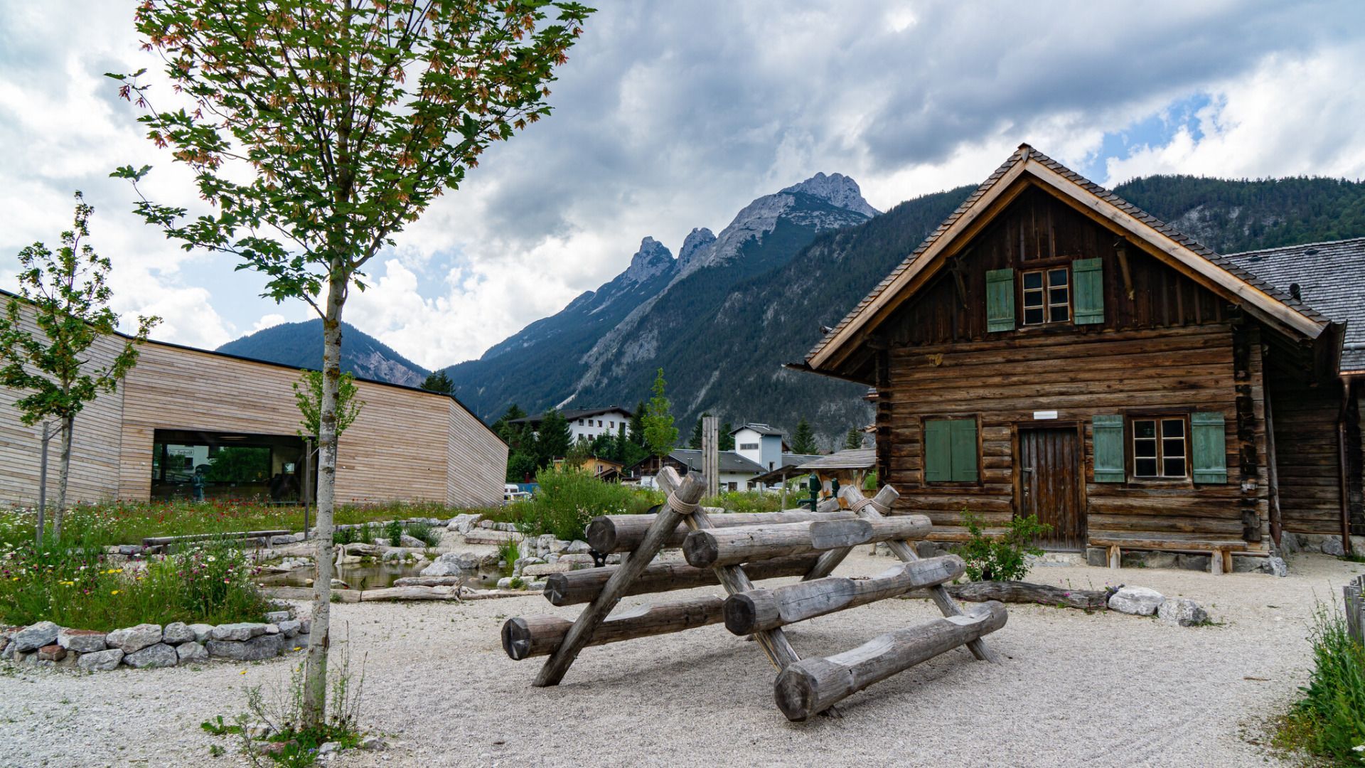
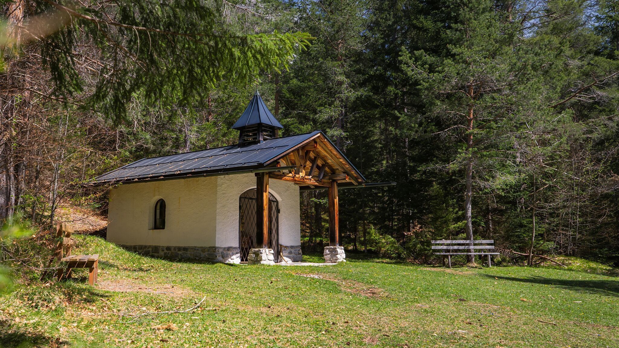
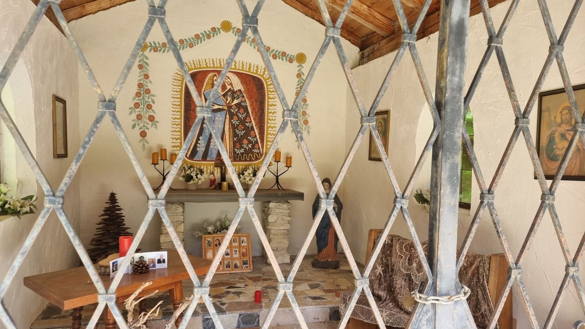
Your hike starts at the Nature Park Information Center in Scharnitz, where you set off on your adventure. From here, follow the Hinterautalstraße into the valley, climbing gently over a small hill. Continue straight until you reach a bridge, which takes you across the Isar. After the bridge, turn left towards the Karwendel Valley. About 50 meters later, turn right onto a forest road, which leads you further into the woods. After a while, you’ll reach a junction where you turn left to find the peaceful Birzlkapelle, a charming little chapel nestled in the forest – a perfect spot for a short break.
For the way back, you have two options:
If you prefer an easy return, simply follow the same path back to Scharnitz.
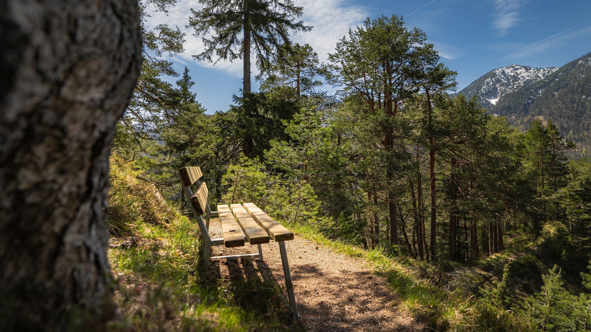
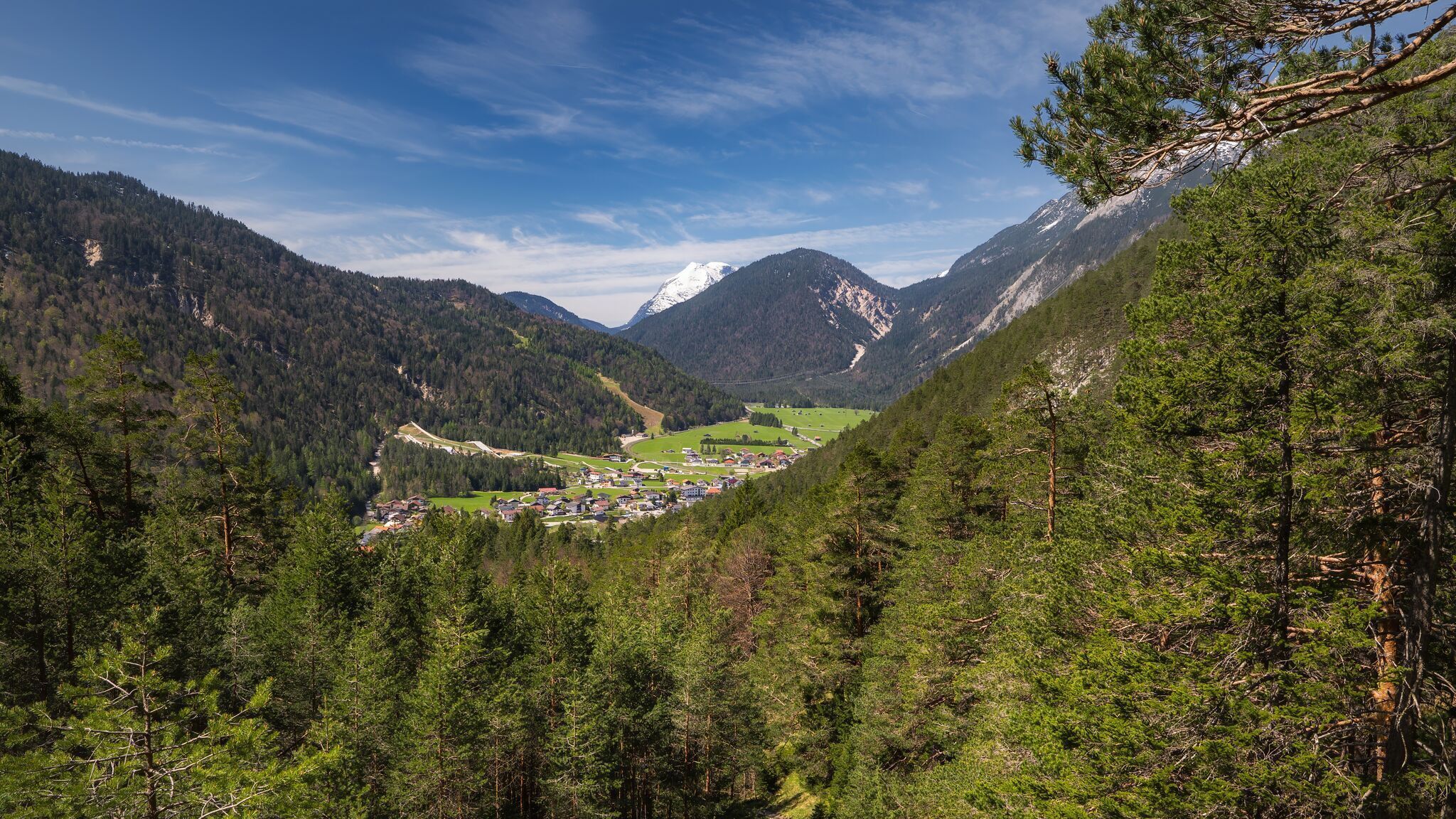
For a bit more adventure, take the narrow and partly steep trail. This path continues straight past the chapel and leads through the forest until you reach a viewpoint with a bench. Here, turn sharply right and descend steeply through several switchbacks. At the first junction, turn right again and follow the so-called Plattsteig through the forest back towards Scharnitz. As you approach the first houses, keep left and follow the Inrainstraße, which takes you back to your starting point at the Nature Park Information Center. This hike offers lovely views, peaceful forest trails, and a touch of adventure!
By train to Scharnitz train station, then a 10-minute walk to the starting point at the Nature Park Information Center.
All real-time connections can be found in the route planner.


.jpg")


.jpg")
.jpg")


.jpg")


.jpg")
.jpg")


 (2).jpg")


 Olympiaregion Seefeld")

