
Place:Leutasch
:Alpine pasture / hut / mountain restaurant
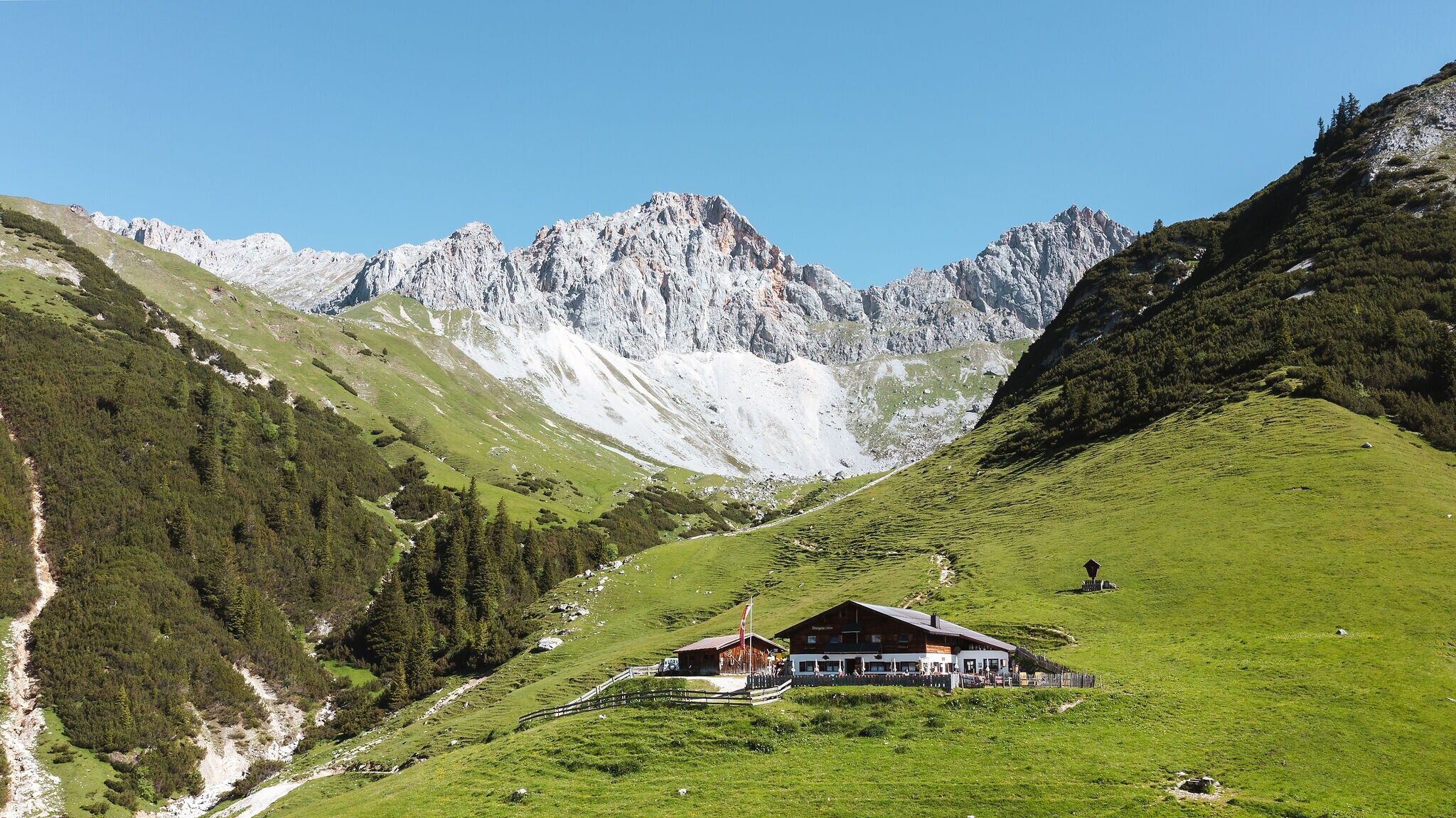
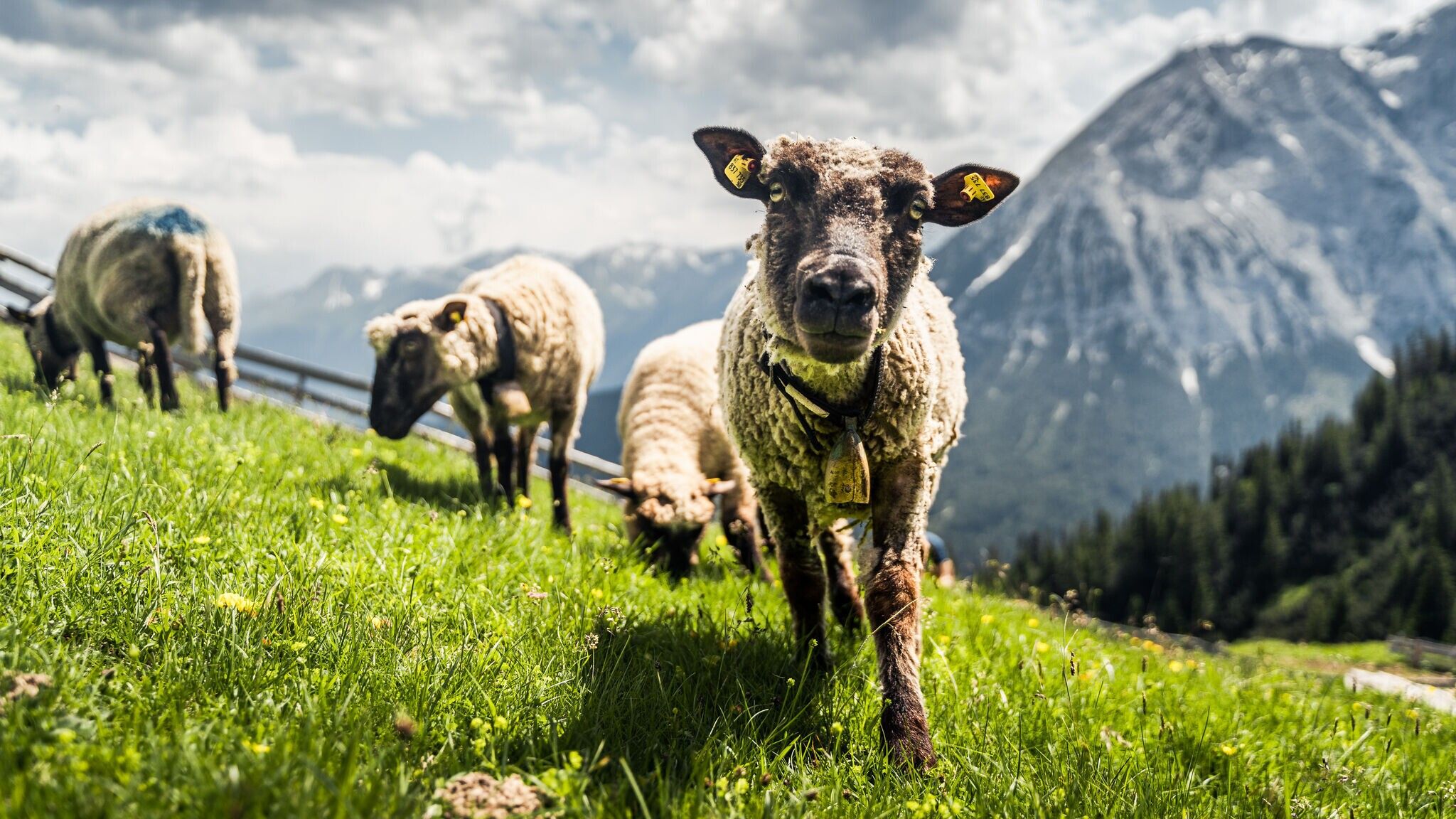
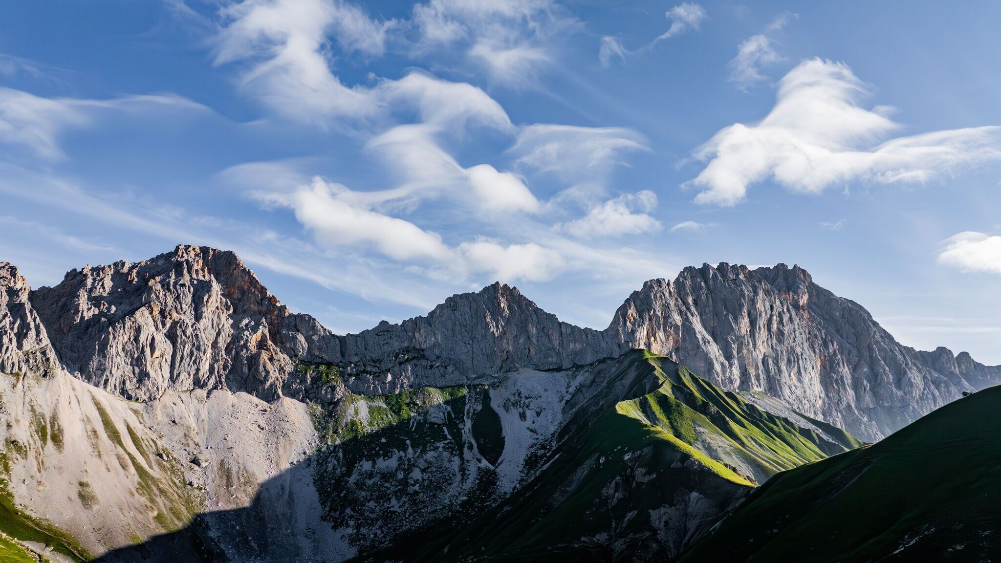
Moderate hike from Leutasch to Wangalm in Gaistal, offering panoramic views of the Wetterstein Mountains, Hohe Munde, and the surrounding mountain ranges.
Forest road and steep forest trail.
All current information about the trail closures in the Region Seefeld can be found here.
Have you been out and about in the Region and discovered a spot that we should rework or repair? Fill out the form "Report a danger zone" and let us know where work is needed.
Sturdy hiking shoes, functional clothing, a backpack, water, snacks, basic fitness, and sure-footedness are recommended for this hike.
Additionally, a hiking map or GPS, a first aid kit, sun protection, and hiking poles are advisable.
Note: The Wettersteinhütte is currently closed.
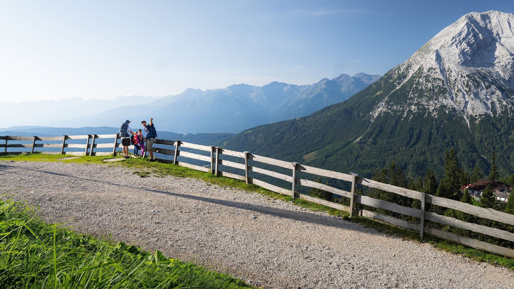
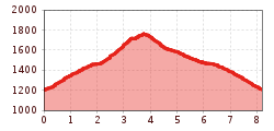
This moderate hike begins at the P2 Stupfer parking lot. From there, the trail starts with a steep 400-meter ascent until reaching Path No. 9. This path leads through the forest, offering glimpses of the surrounding peaks of the Wetterstein mountains and the Hohe Munde.
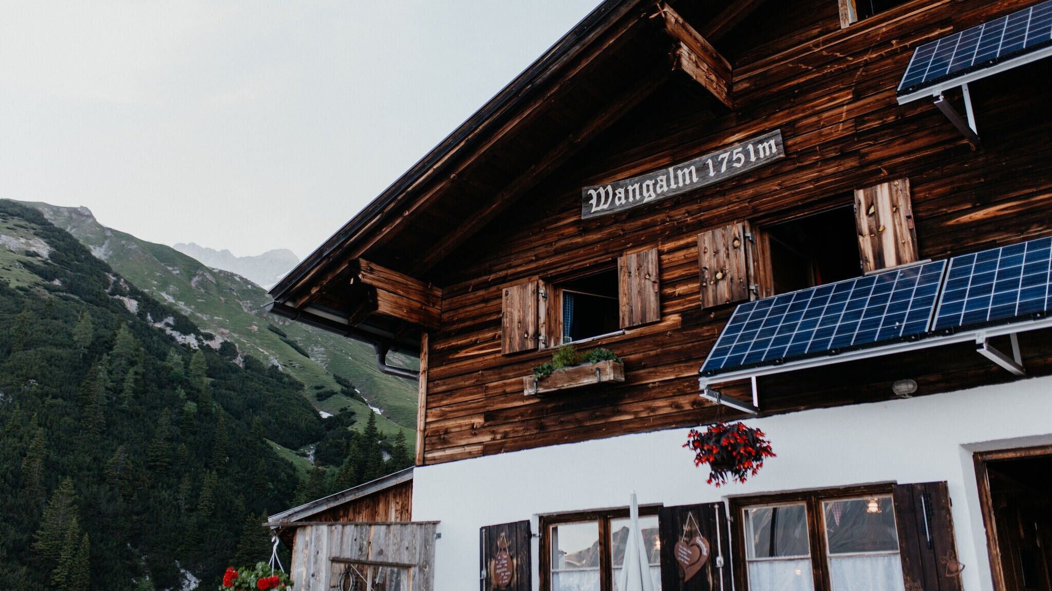
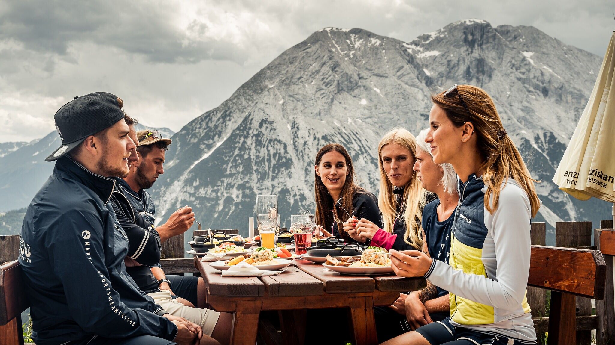
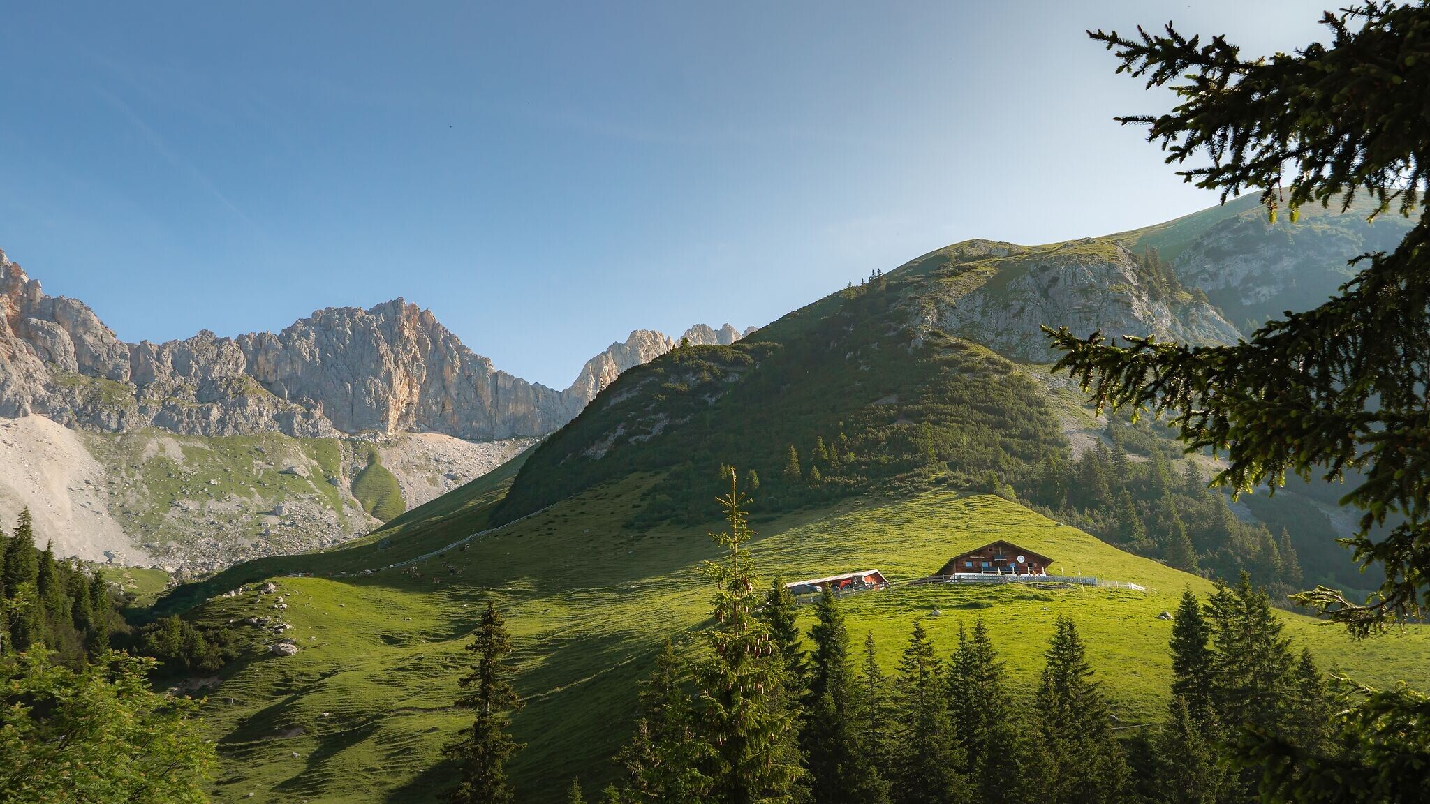
At the junction to the Waldsteig (forest trail), there are two options: You can either stay on the forest road (Path No. 9) or take the steeper forest trail. Both routes lead directly to Wangalm, which offers regional specialties and stunning views of Gaistal Valley, perfect for a break.
This described route follows the forest trail for the ascent and the forest road for the descent. The route can be adjusted according to preference. For the ascent, simply follow the signs for "Wangalm via Waldsteig." At the end of the Waldsteig, we first reach the Wettersteinhütte (not operational), and from there, it’s just a few meters to Wangalm.
After a well-deserved rest at Wangalm, the return journey follows the forest road. Just follow the signs for "Forstweg to Parkplatz Stupfer" (Path No. 9), which leads back to the starting point.
A rewarding tour with a challenging ascent, breathtaking panoramic views, and true Tyrolean hut cosiness.
Take the bus to Leutasch and get off at the 'Gaistal/Stupfer' bus stop.
All real-time connections can be found in the route planner.

.jpg")


.jpg")

.jpg")
.jpg")

.jpg")
.jpg")


.jpg")
 Olympiaregion Seefeld")


