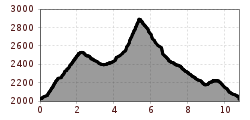
Mountain hikes Hike to Wildgrat

Jerzens im Pitztal /
Difficulty ratings: difficult
Route length: 10.8 km
Duration: 6:00 h

Hike to Wildgrat

Tour information

  • Requirement: difficult
  • Length: 10.8 km
  • Duration: 6:00 h
  • Elevation uphill:1,170 hm
  • Elevation downhill:1,170 hm
Highest point2,921 m

Starting point

gondola top station

Finishing point

gondola top station

Best time of year

  • January
  • February
  • March
  • April
  • May
  • June
  • July
  • August
  • September
  • October
  • November
  • December

Trail condition

track, It is advisable that hikers taking this path should not have any fear of heights or be prone to dizziness
Source: Pitztal

Description

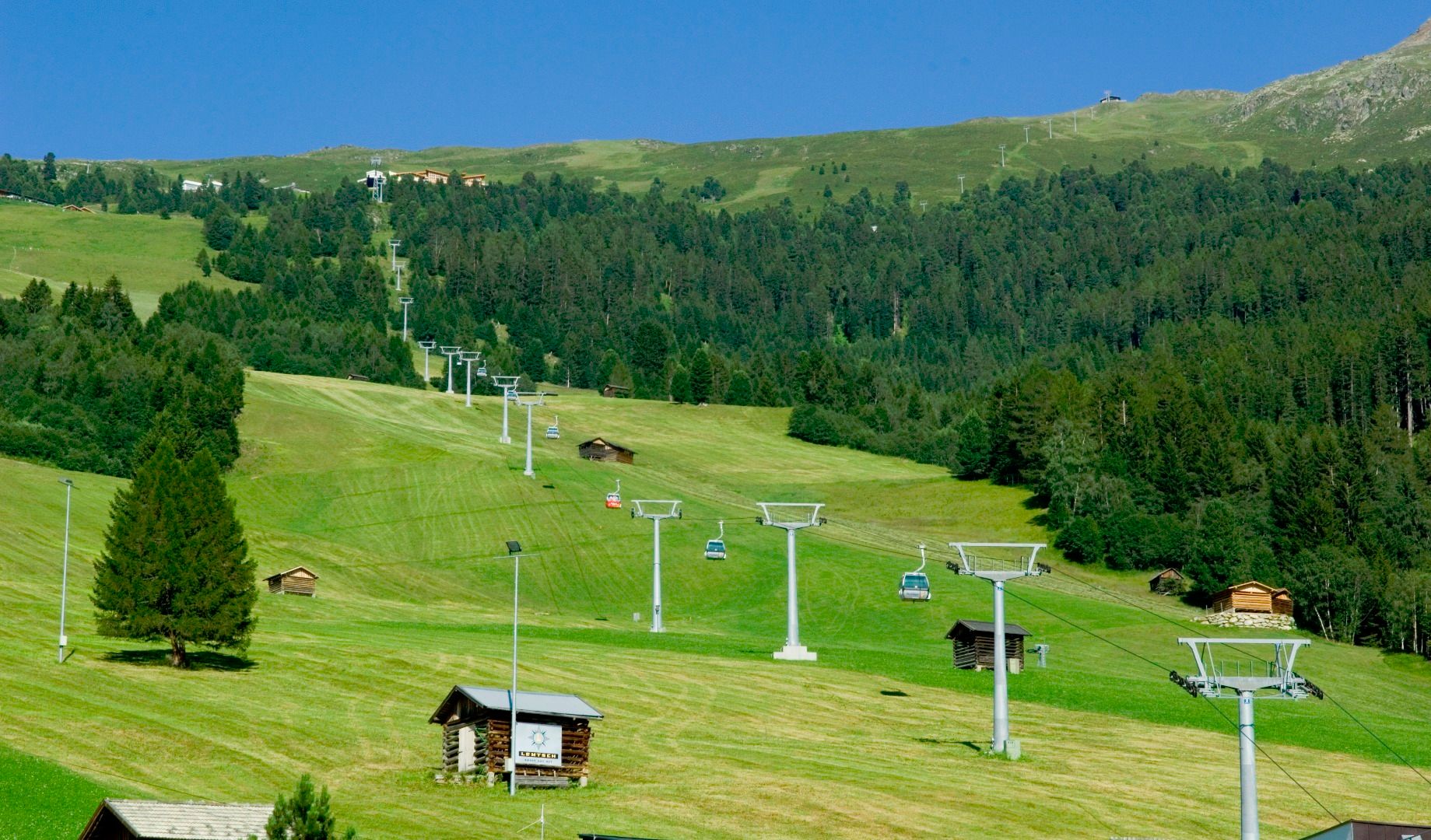
Starting point: gondola top station. From there, take the path to the Hochzeiger mountain and continue to the Riegetal valley. A second alternative route would be to turn right at the top station and take the path to the Zollberg peak and to the Groaßsee lake. From the lake at 2,416 m take a steep trail to the 2,971 m Wildgrat peak, keeping to the left at all times. It is advisable that hikers taking this path should not have any fear of heights or be prone to dizziness. Return via the Zollberg.

More tours in the surrounding area

Newsletter

The mountain is calling? So does our newsletter!

In our monthly newsletter we reveal the best holiday tips for Tyrol.