

Opening hours:closed
Place:St. Leonhard im Pitztal
:Alpine pasture / hut / mountain restaurant
This hike leads through breathtaking scenery to the Kaunergrathütte, past rushing streams and steep slopes. The views of the peaks and the valley make the tour unforgettable.
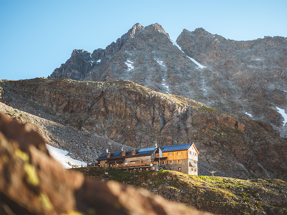
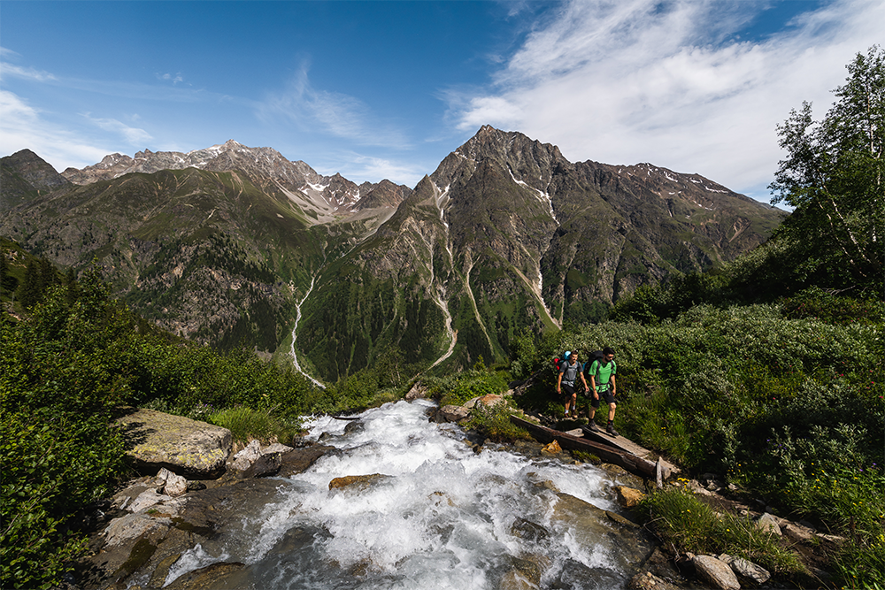
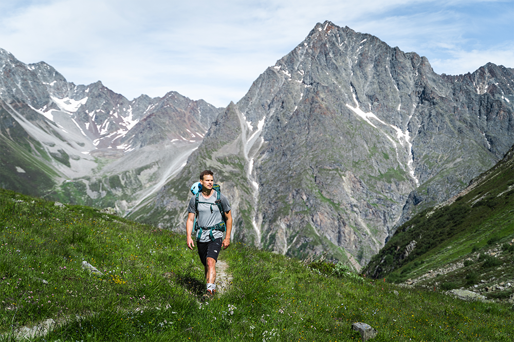
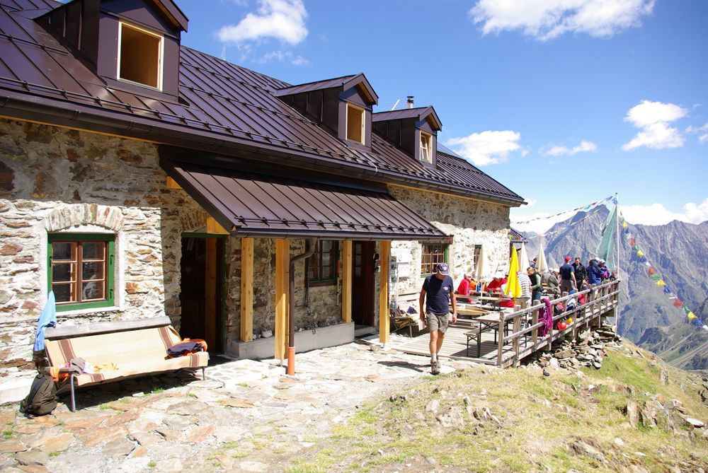
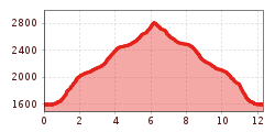
Starting point: car park just before Plangeroß. Walk by a path, which starts off wide before narrowing and becoming increasingly steep – through the forest to the Plangeroßalpe. Once there, cross over the river at two points, continuing next to ascend on the moderately steep path along the river to the second plateau, where the path is joined by a high-level trail, the Cottbuser Höhenweg. From there, follow the trail over loose stones and rocks to the last very steep ascent of the route up to one of the highest catered mountain huts of the Ötztal Alps, the Kaunergrathütte (2,817 m). Descend by the outward route. For experienced and fit mountaineers, there is an alternative descent from the Kaunergrathütte via the Mittelberglesee lake to Trenkwald (this alter -native descent adds another 2 hrs walking time to the high Alpine trek).
Tip: From the Kaunergrathütte, within about an hour, you can also climb the summit
to enjoy beautiful panoramic views of the Plangeroßkopf. Grade: moderate
Take the bus to Plangeroß and from there follow the signs to Kaunergrathütte.
Parking lot for the Rüsselsheimer and Kaunergrathütte between the hamlets of Weißwald and Plangeroß.


