Mountain hikes Panorama hike Stuiben waterfall

Jerzens im Pitztal / Ötztal Alps
Difficulty ratings: medium
Route length: 5.5 km
Duration: 2:30 h

Panorama hike Stuiben waterfall

Tour information

  • Requirement: medium
  • Length: 5.5 km
  • Duration: 2:30 h
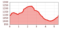
  • Elevation uphill:320 hm
  • Elevation downhill:320 hm
Highest point1,265 m

Starting point

fire station Jerzens

Finishing point

fire station Jerzens
  • Fitness level 2 / 6
  • Technique 2 / 6

Features

  • Circular route
  • Suitable for families

Best time of year

  • January
  • February
  • March
  • April
  • May
  • June
  • July
  • August
  • September
  • October
  • November
  • December

Trail condition

forest path, track
Source: TVB Pitztal

Description

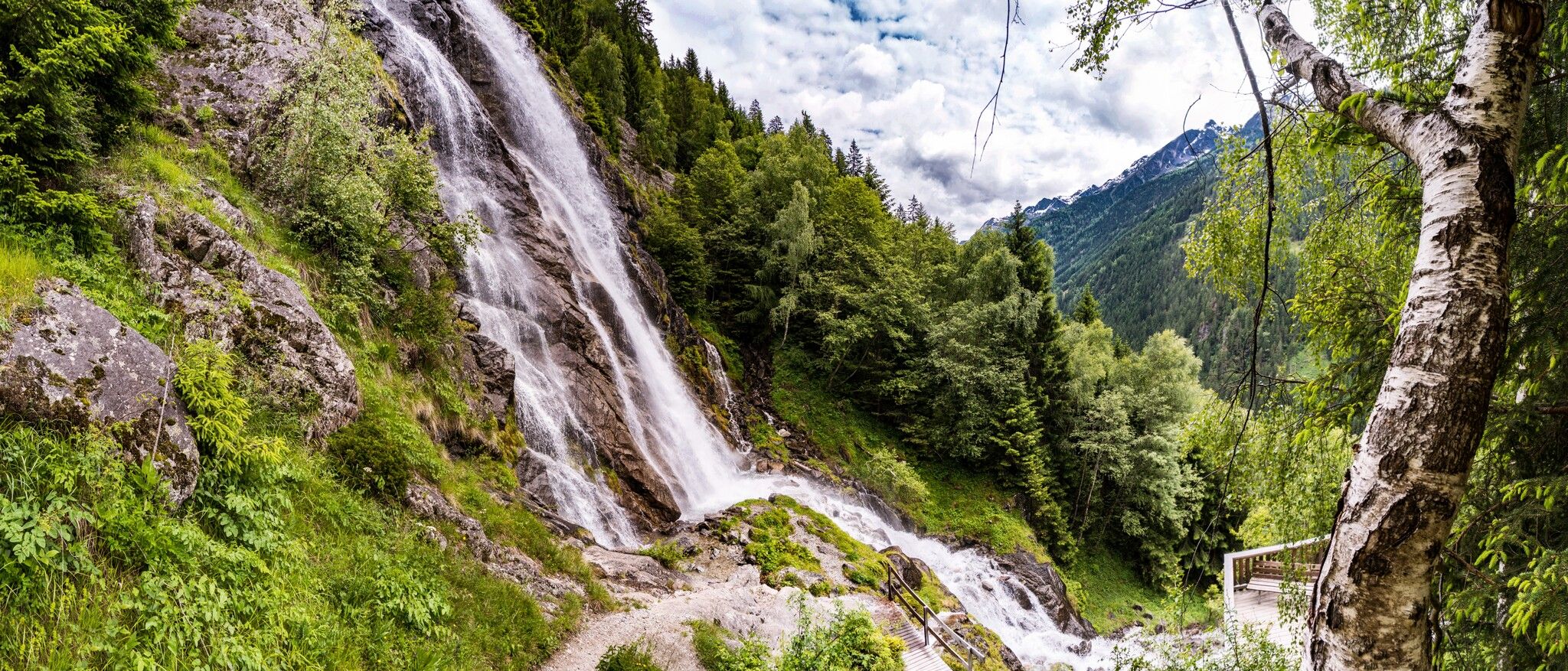
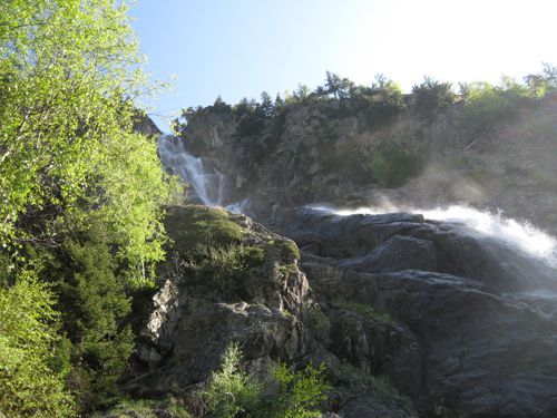
The hike begins across from the fire station and follows the signs to the Stuiben Waterfall. The trail features two short, steeper ascents and leads to the base of the waterfall, where a viewing platform offers a spectacular view of this natural spectacle.

The route then descends to the hamlet of Schön. After crossing the Pitztal regional road, the trail continues through the hamlet of Schönlarch to the soccer field. Passing the Toyota Reinstadler dealership, the Pitztal regional road is crossed again. Passing through the Niederhof district, the route finally returns to the starting point, completing the loop hike.

Nearby huts and mountain restaurants

Getting here

  • Arrival by public transport

    The “Jerzens Feuerwehr” bus stop is located right next to the starting point.

  • Parking

    Parking at the church parking lot.

Weather

Today

clear sky
31°C/16°C
0%0l5 km/h

Fri

light rain showers
31°C/16°C
55%8l5 km/h

Sat

light rain showers
26°C/16°C
60%5.4l0 km/h
Go to weather forecast

More tours in the surrounding area

Newsletter

The mountain is calling? So does our newsletter!

In our monthly newsletter we reveal the best holiday tips for Tyrol.