
Opening hours:Open today
Place:Tux
:Alpine pasture / hut / mountain restaurant
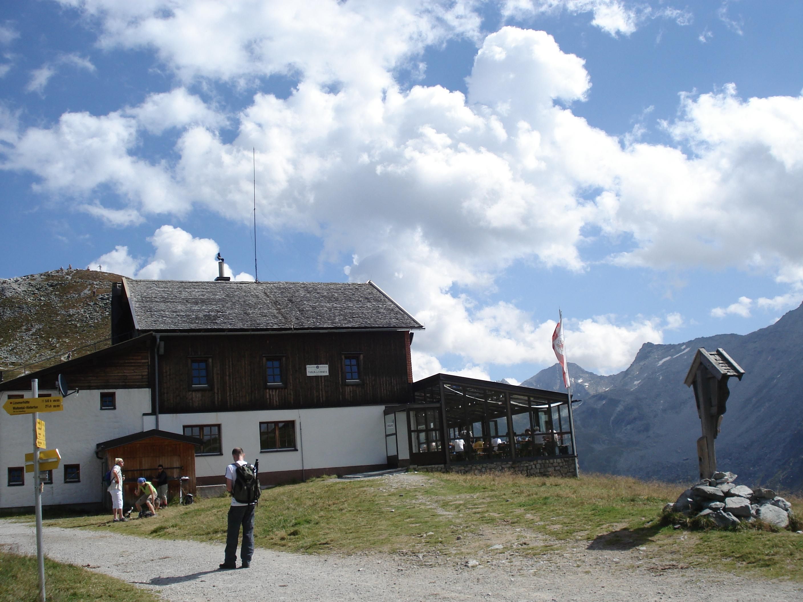
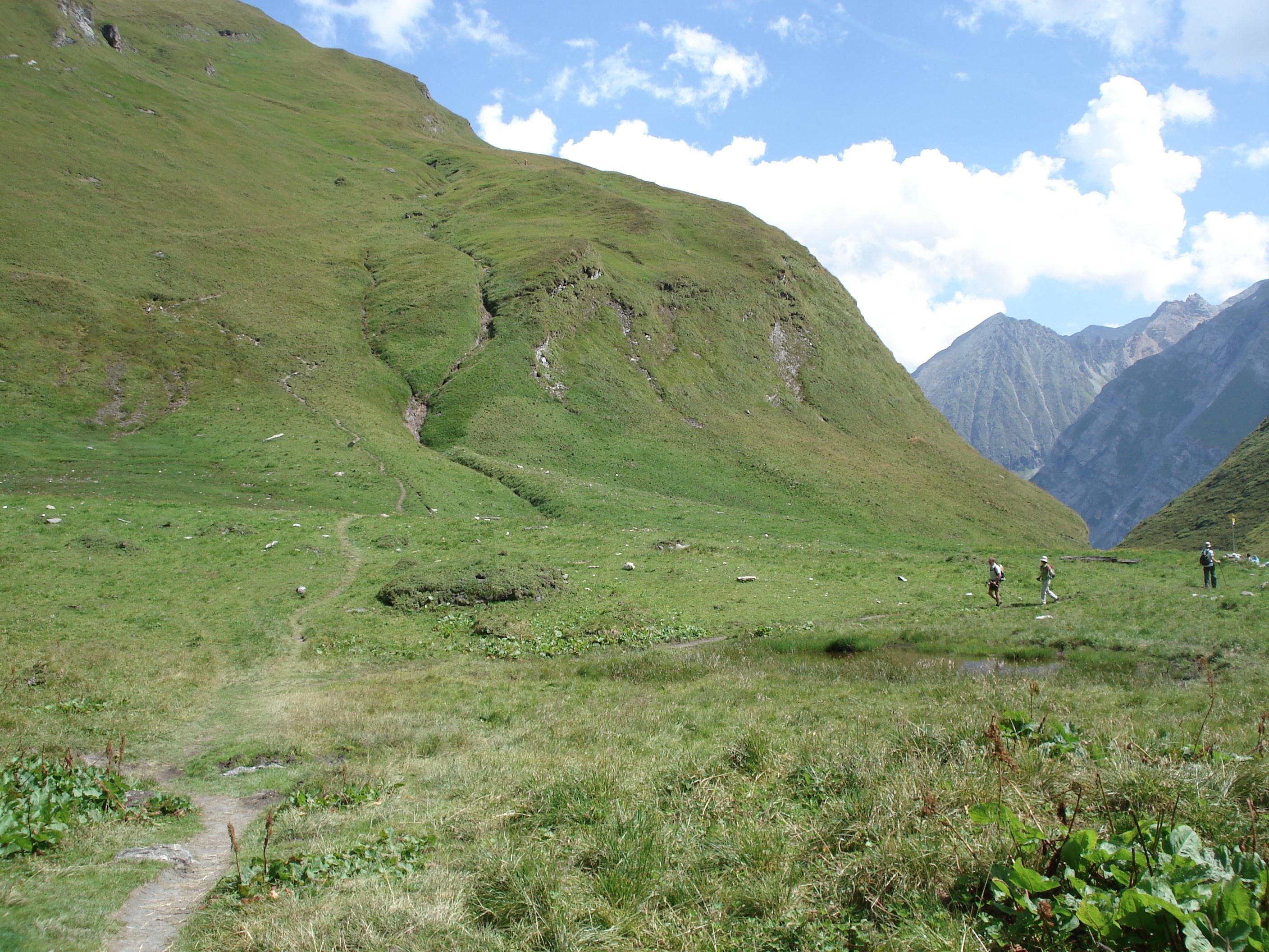
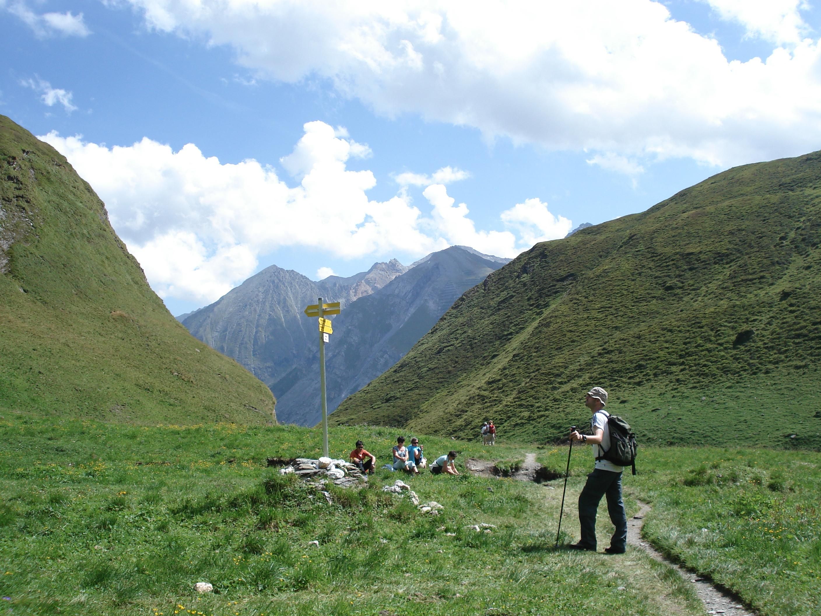
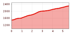
Varied mountain tour from the village square to the Tuxerjochhaus - with tunnel passage, waterfall views and alpine flora in the Weitental valley!
Correct footwear (sole with a tread, firm hiking shoes)
Clothing (quickly drying, protection against wind, rain and cold)
Sunscreen – ATTENTION: strong sunlight in the mountains! Sunglasses, head protection, sunscreen with a high sun protection factor
First aid kit (gauze bandage, plaster)
Charged mobile phone
Drinks and food (drink plenty of fluid on hikes – but avoid alcohol!)
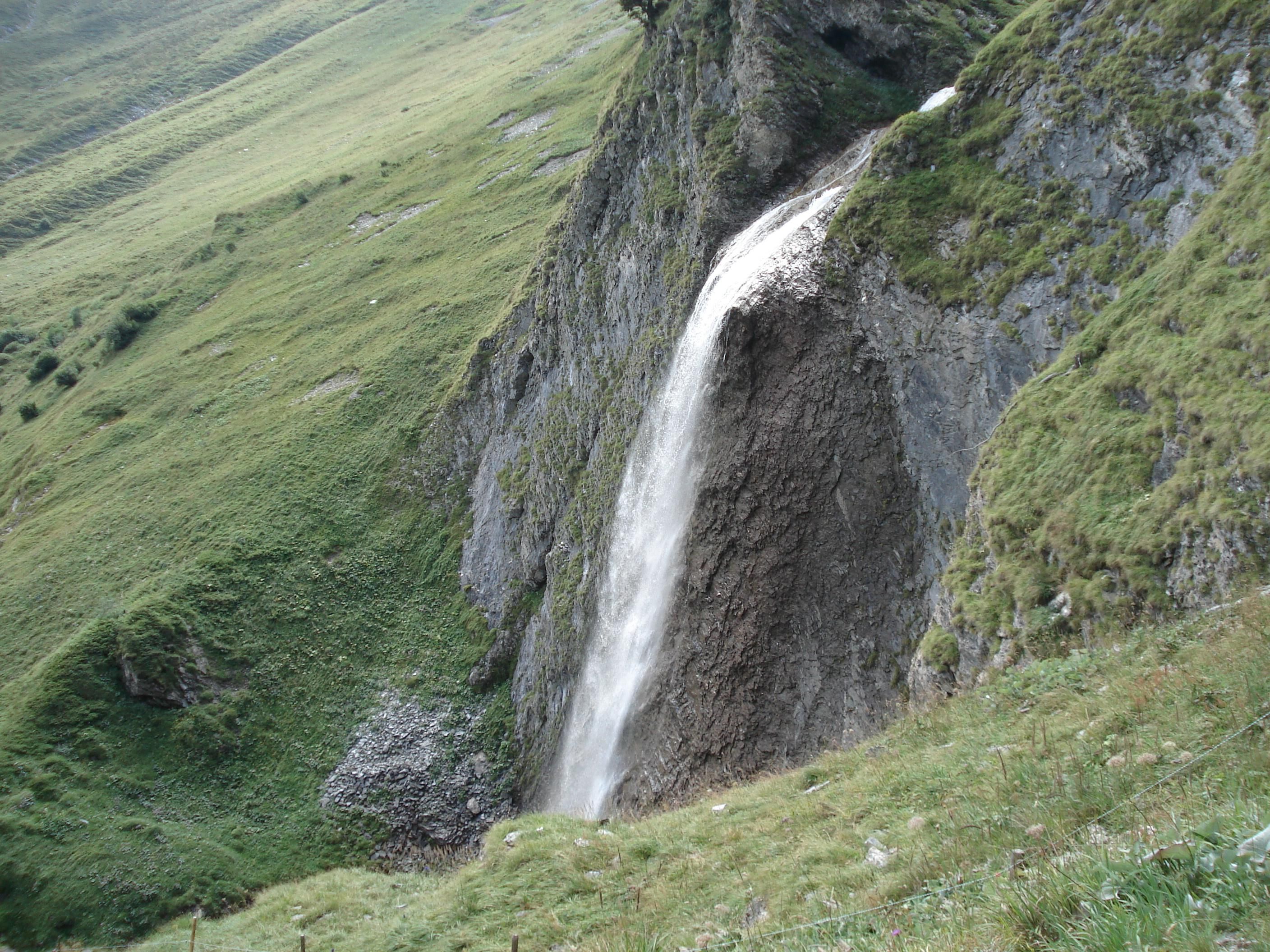
From the village square to the Hotel Hohenhaus (house no. 774) - turn left through the tunnel - then up to the right along the avalanche barrage, above the fence on the AV path no. 323 as far as the Isse, continuing up on a safe-guarded path, pass the Schleier waterfall and into the Weitental (known for its superb alpine flora) and on via a good path to the Tuxerjochhaus.
Linienbus
4104
Bus stop Hintertux Feuerwehr
Der nächstgelegene öffentliche Parkplatz befindet sich bei der Talstation der Hintertuxer Gletscherbahnen, ca. 15 Gehminuten vom Startpunkt entfernt, einfach der Straße L6 folgen.


")
.jpg")

.jpg")


.jpg")
.jpg")

")


")
.jpg")
.jpg")

.jpg")


