
Öffnungszeiten:Heute geschlossen
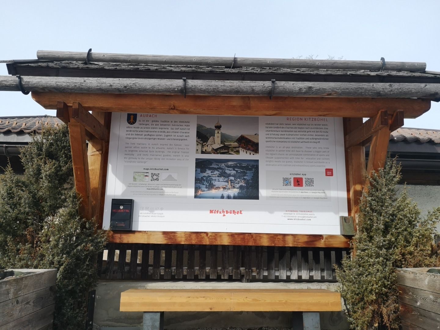
Ort:Aurach bei Kitzbühel
:Restaurant, Tavern
Höhenweg Aurach
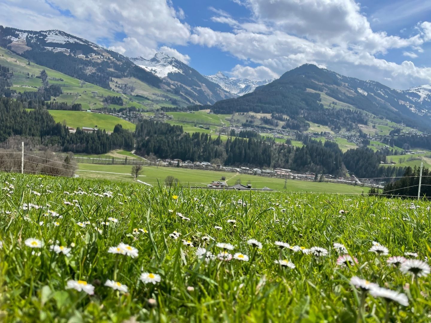
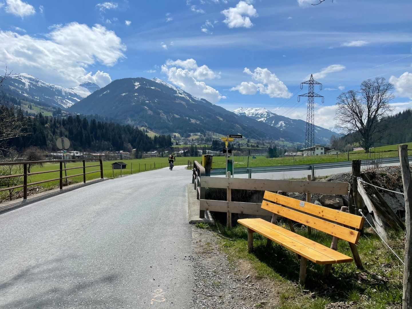
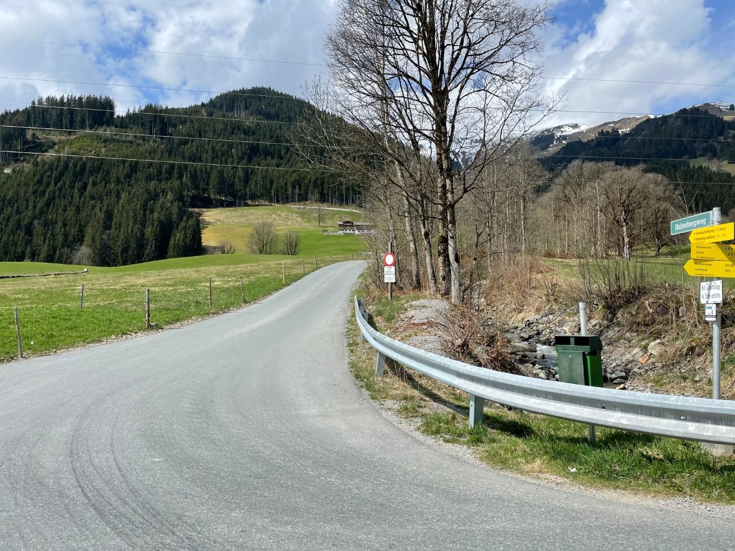
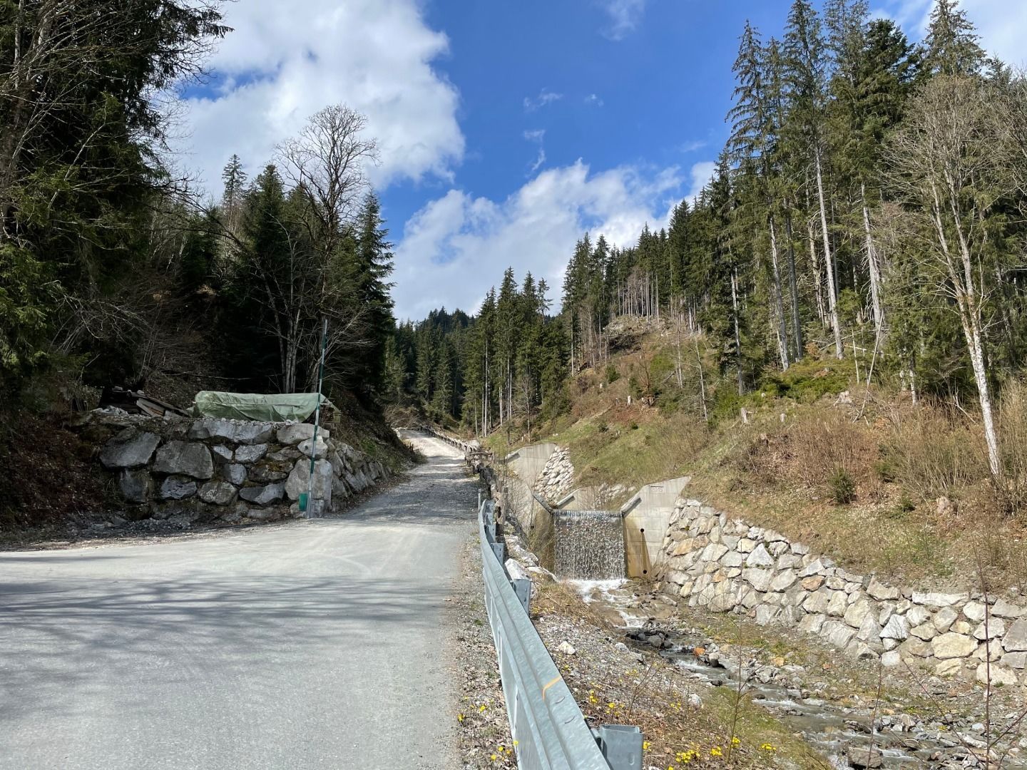
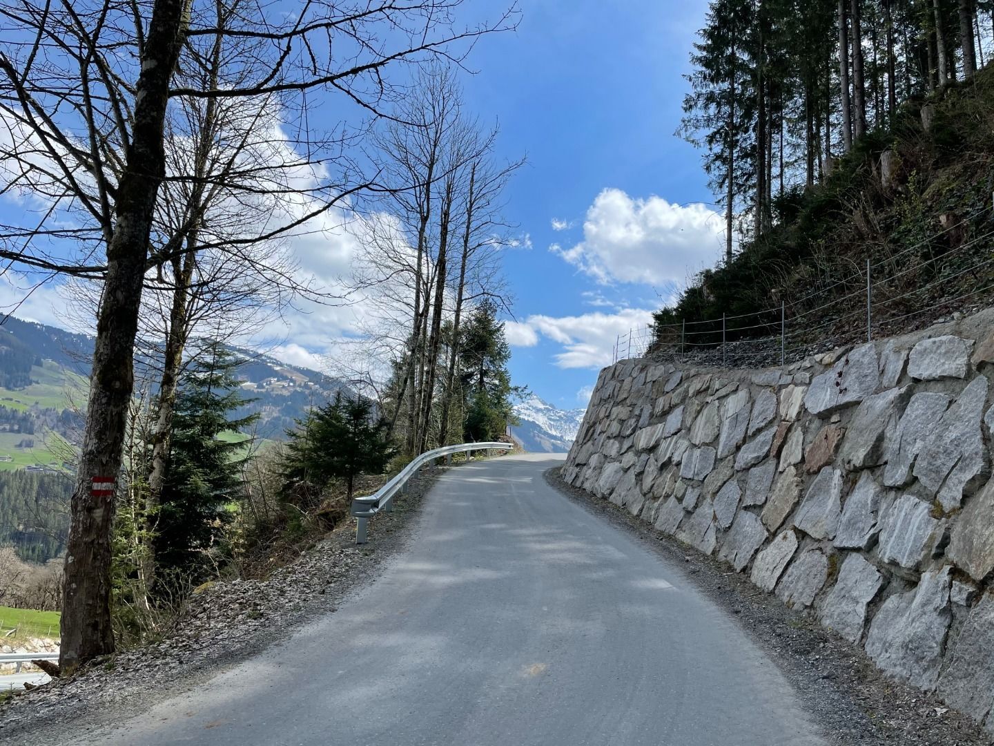
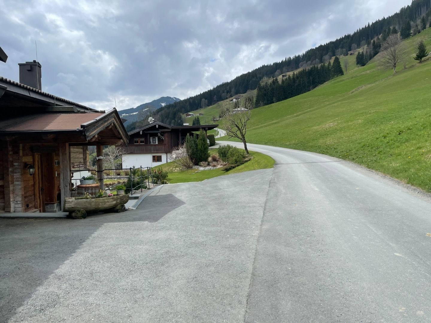
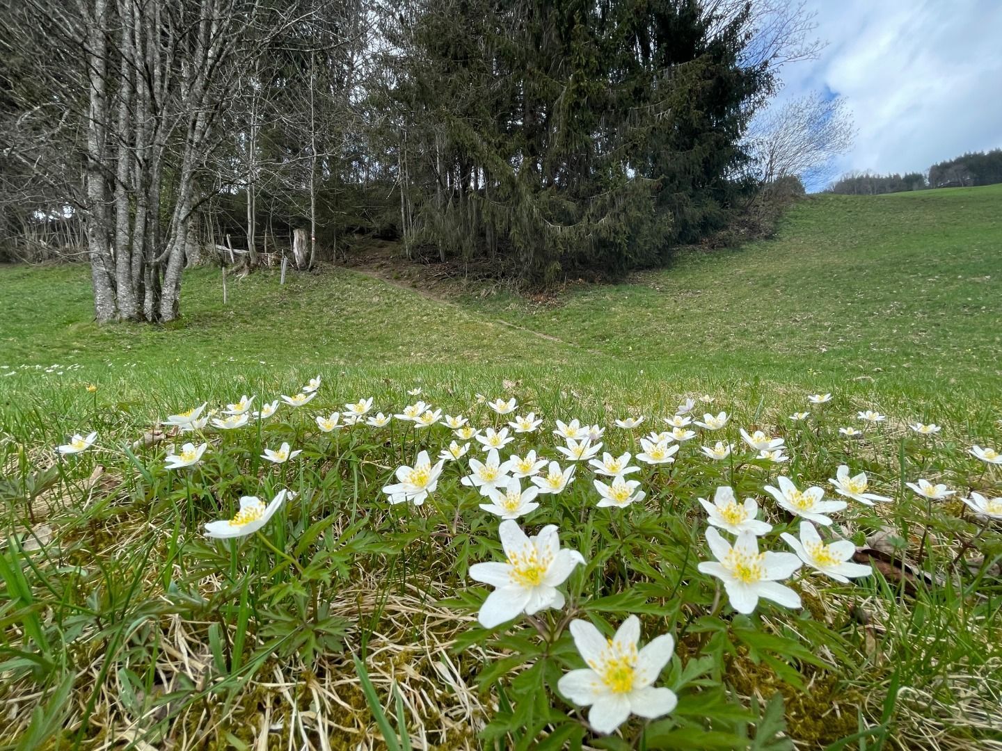
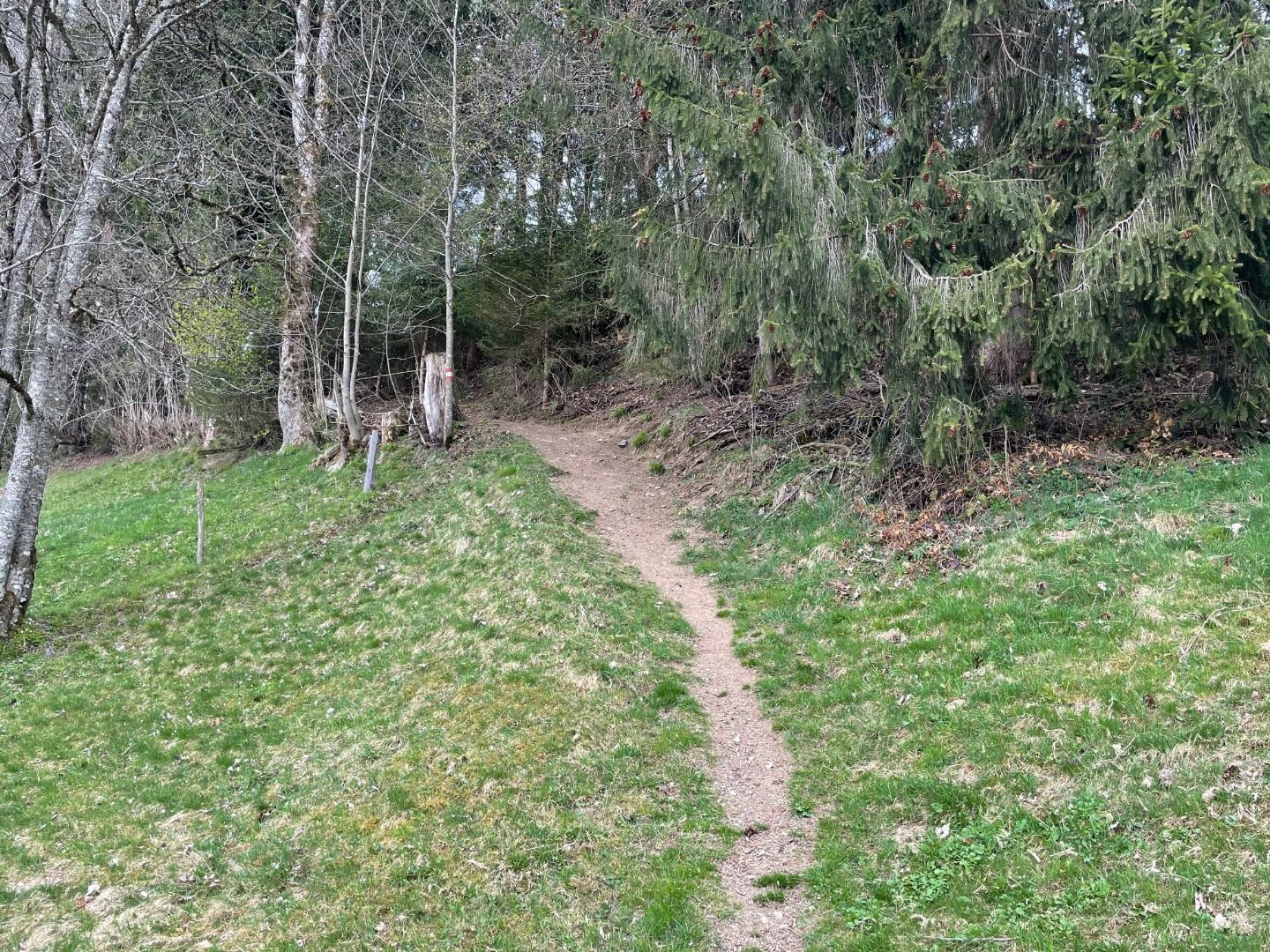
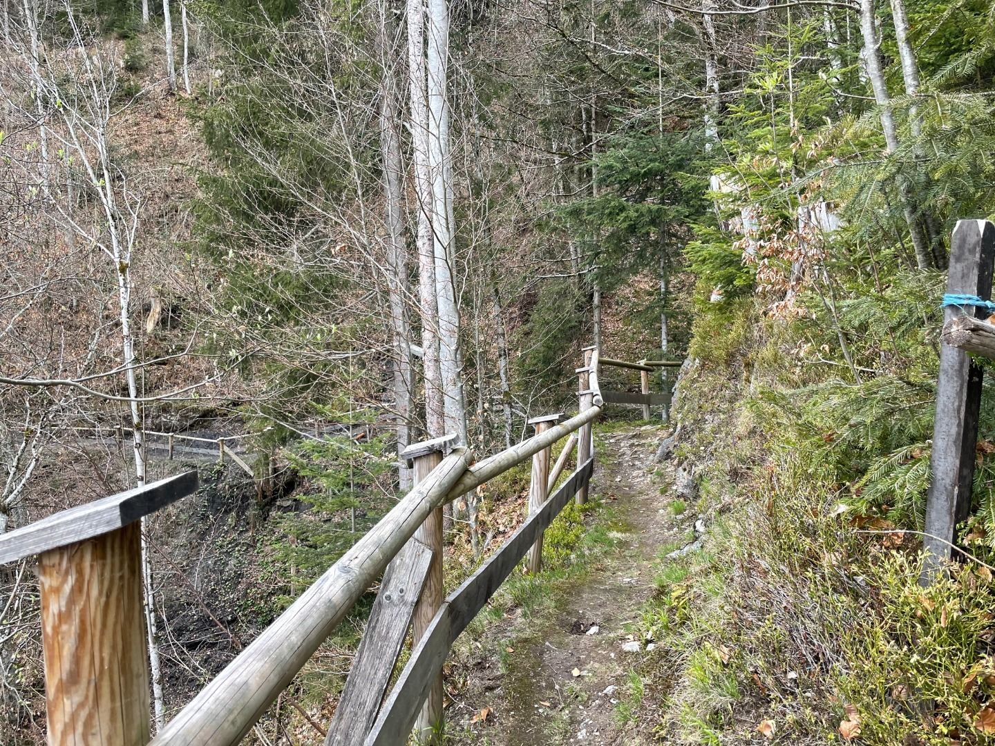
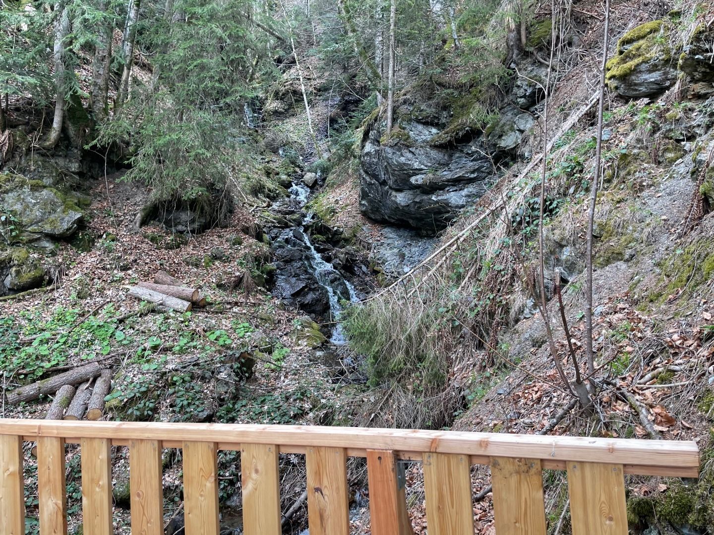
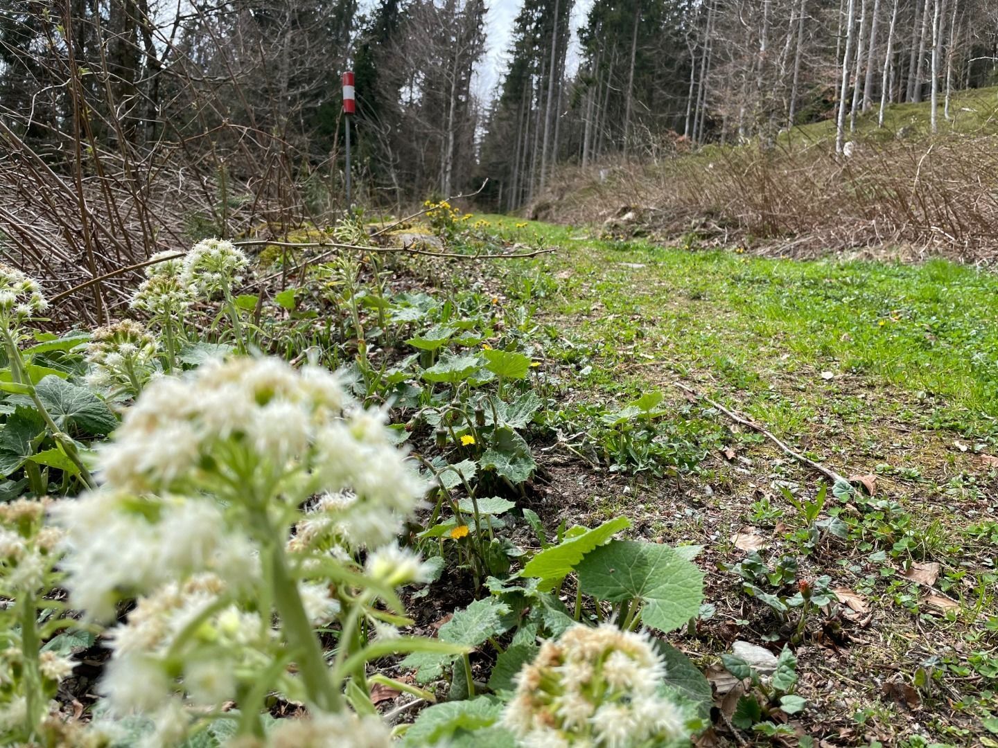
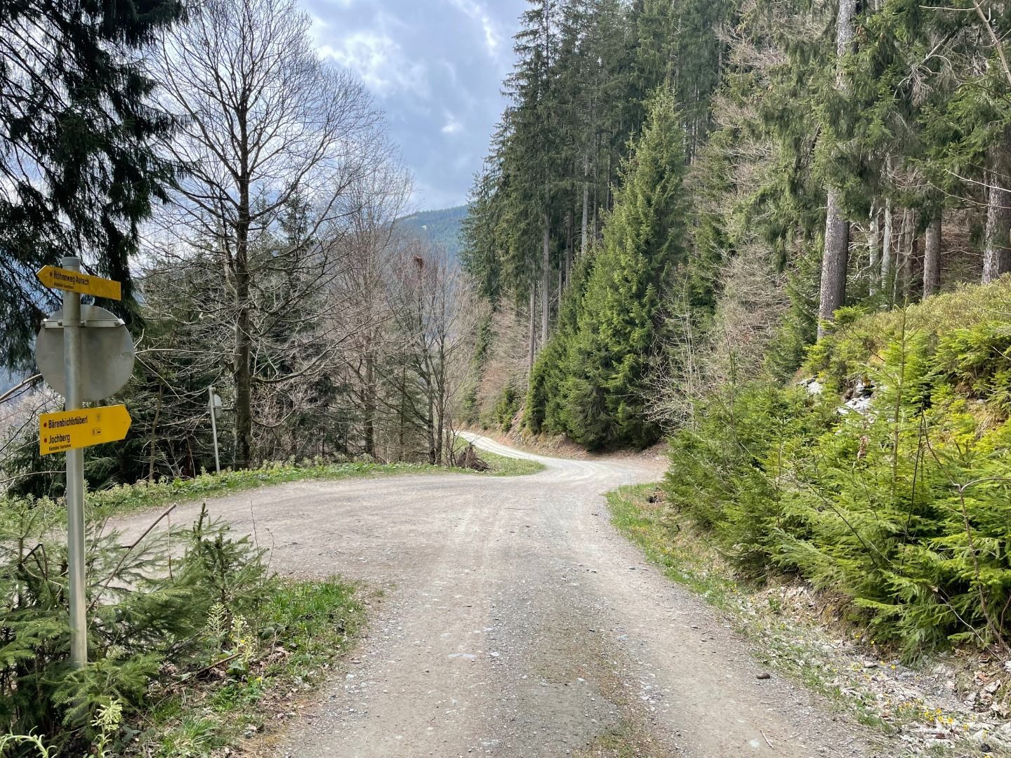
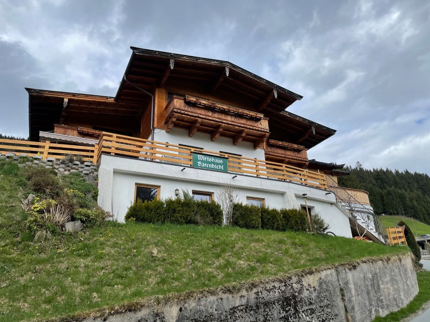
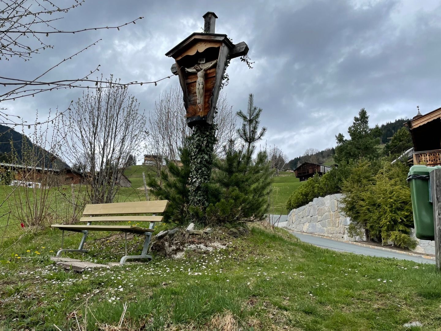

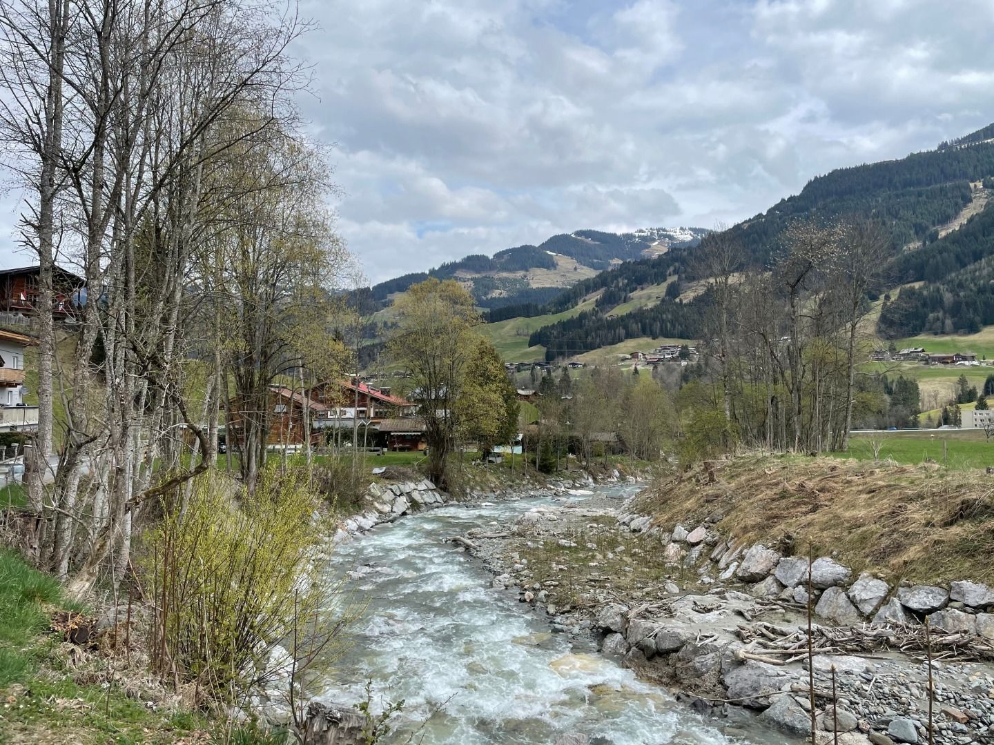
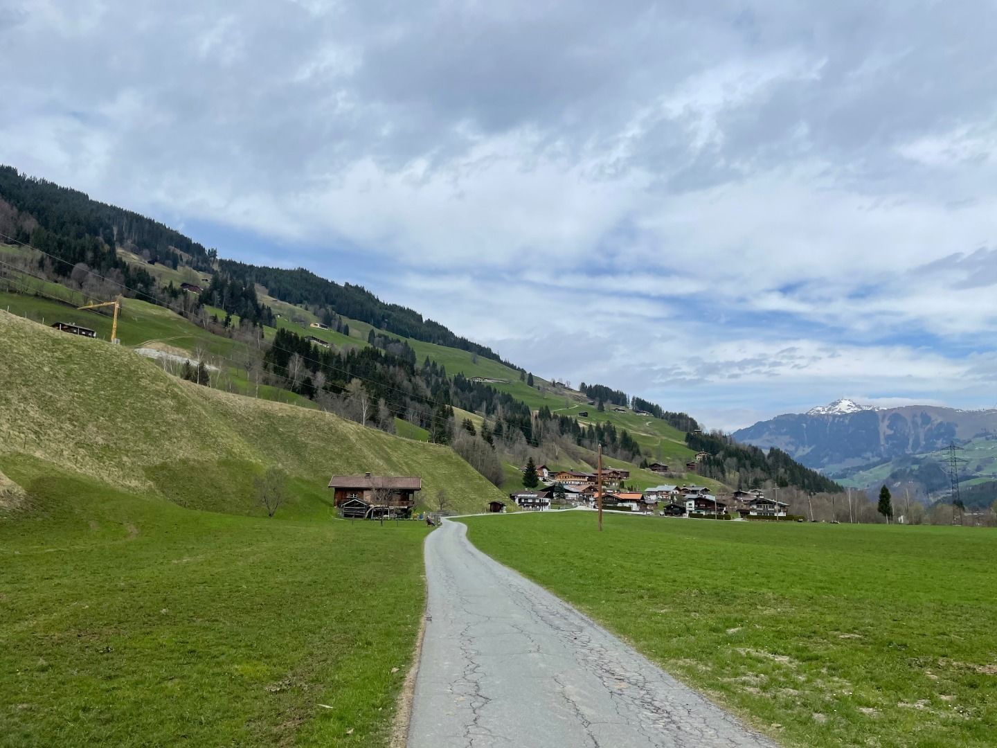
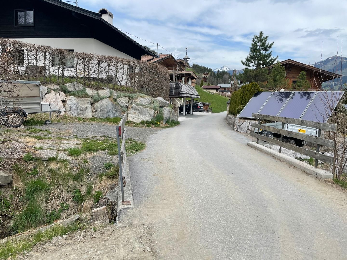
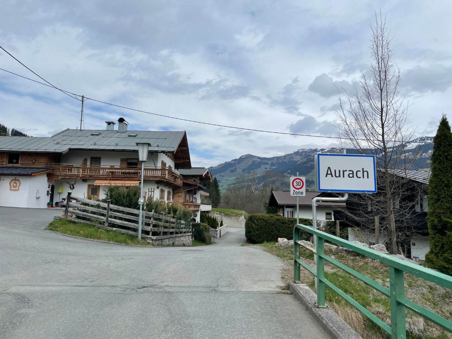
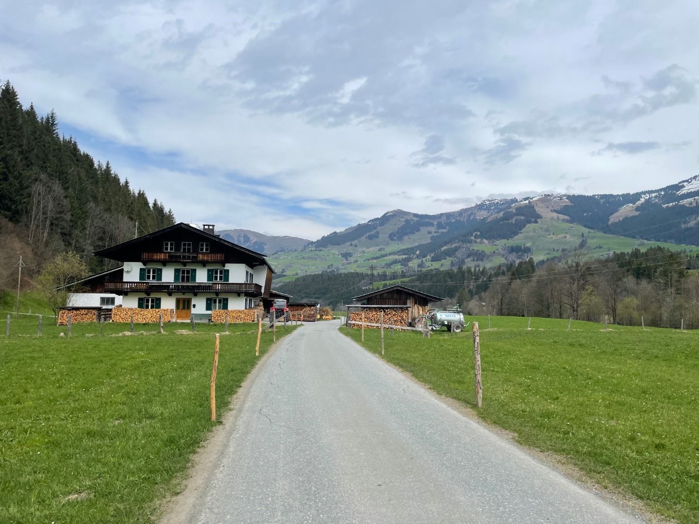

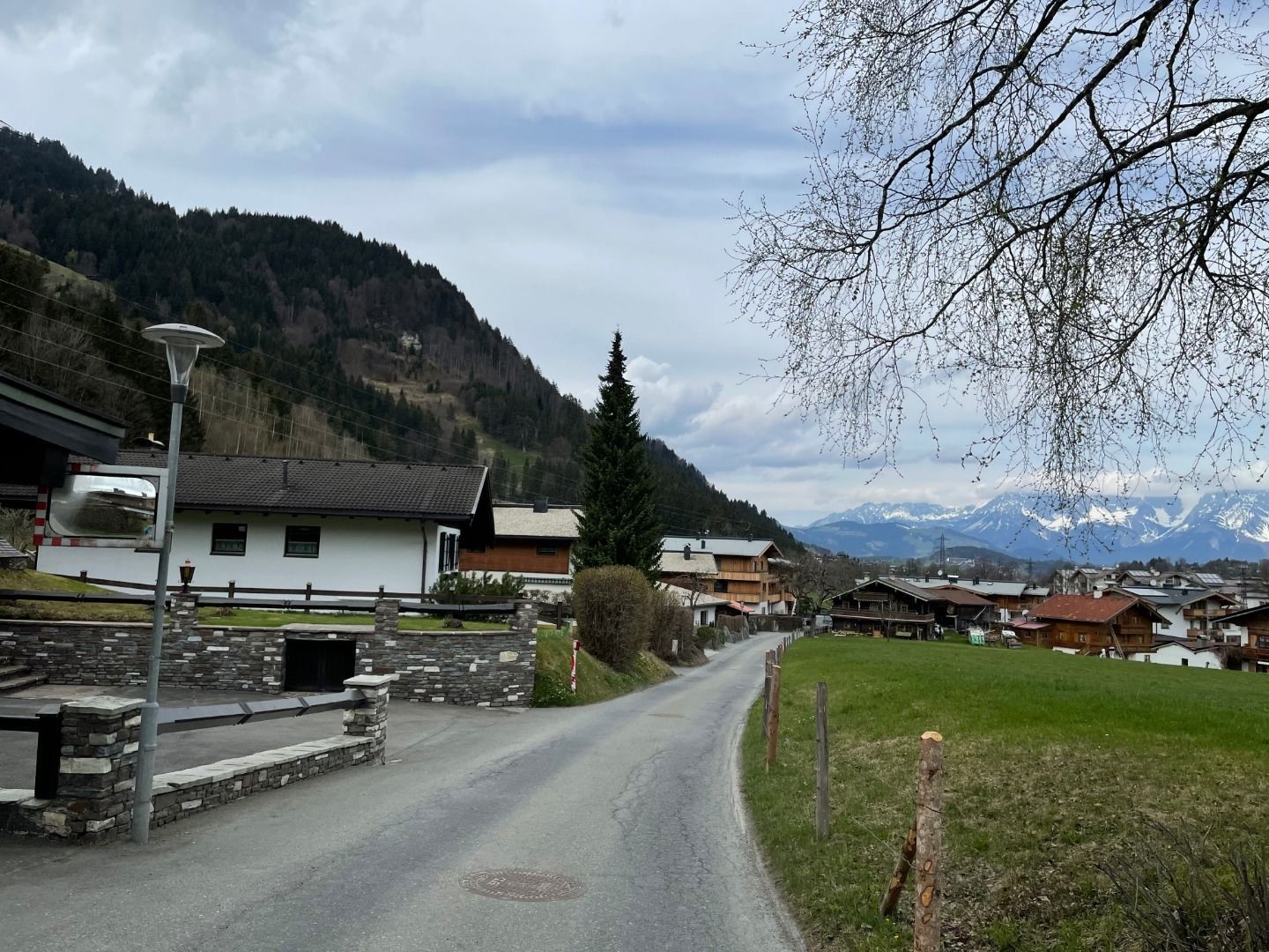
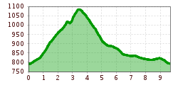
This tour starts at the hiking information point and leads along the Traidlweg, past Gasthaus Auwirt, towards "Hechenmoos-Jochberg". The route continues along the Haberbergweg and passes traditional Tyrolean mountain farms with a view of the Hohe Tauern mountain range and, in particular, Grossvenediger mountain. The path then leads to the Reischgraben stream, which you cross on a wooden bridge, continues over Bärenbichl to the alpine meadows on the "Aubergern" plateau. The plateau is a moraine from the last ice age. The route back follows the Auracher Auen back to the starting point.
.jpg")


.jpg")

